

Grianan
Good walks are even better shared.
NF6801 : On Grianan looking northwest
Alan Reid Photo source
Overview
Grianan Mountain: A Hiker’s Paradise
Located in the scenic Donegal Hills, Grianan stands at an elevation of 245 meters and offers a modest challenge for hikers eager to explore its rich history and stunning views.
Geology
The mountain's ancient volcanic rock forms the backbone of its terrain, reflecting a powerful geological history. Sturdy and reliable underfoot, this rock ensures that your only concern will be keeping your adventurous spirit intact and not tripping over any pesky roots.
Routes
The Grianan of Aileach Trail is a popular choice, leading you along an invigorating loop up to the summit with about 4.5 km to stretch your legs and your lungs. The well-marked path is ideal for families and seasoned hikers alike, ensuring that everyone can enjoy the journey.
Summit Features
At the peak, you’ll be greeted by the ancient Grianan of Aileach fort, a stone structure that dates back to the 5th century. Standing proud, it gives you a grand view of the surrounding hills and lakes. Remember to snap a selfie – after all, the ‘Gram waits for no one!
Terrain Type
Expect a mix of grassy slopes interspersed with rocky outcrops, perfect for casual hikes or those deep philosophical conversations with yourself that occur in nature.
Views
The views from Grianan are truly breathtaking; look out over Lough Swilly and the Inishowen Peninsula. If you're fortunate, you might spot some distant rolling hills of County Derry. Ideal seasons for this spectacle are spring and autumn when the scenery is painted in vibrant colours.
Hazards
While the path is manageable, keep an eye on the weather. Donegal is notorious for its mood swings, turning from sunny to 'better run for cover' in minutes. Plus, watch your step on the rocky areas unless you fancy an impromptu lesson in balance!
Nearby Summits
If you’re feeling particularly adventurous, why not also try nearby Tievebaun, which offers another unique experience with its elevation of 637 meters.
Access
You'll find a free car park right by the trailhead, so there’s no need to fret about parking fees. Public transport can take you to Burt, but it's a bit of a walk to the start of the trail. Once you're done, head to a local pub for some well-earned refreshment.
Facilities
Facilities are basic yet sufficient, with public toilets available at the car park and cafés in Burt for a replenishing slice of cake.
History
The name Grianan, meaning 'The little place of the sun,' brings a bit of warmth to the chilly winds at the summit. Historically, it served as a royal seat reflecting its strategic military significance over centuries.
So, whether you fancy the challenge, the history, or the friendship of nature, Grianan invites you to lace up your hiking boots and hit the trail. It’s a gem of Donegal waiting for your footprints!
Explore routes near Grianan
Walks starting near this hill. Open a route to check its map, distance and full itinerary.
Route planning notes
These notes describe possible approaches. Check a route's map and access information when planning your walk.
Grianan of Aileach Trail
A well-marked loop trail leading from the car park to the historic Grianan fort at the summit, featuring gentle ascents and stunning views.
Make a day of it, together
Find someone to share the walk with, or organise a day out along a route you like.
Photo Gallery
View all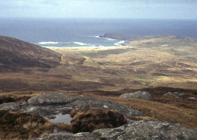 Photo could not load
NF6801 : On Grianan looking northwest
Alan Reid
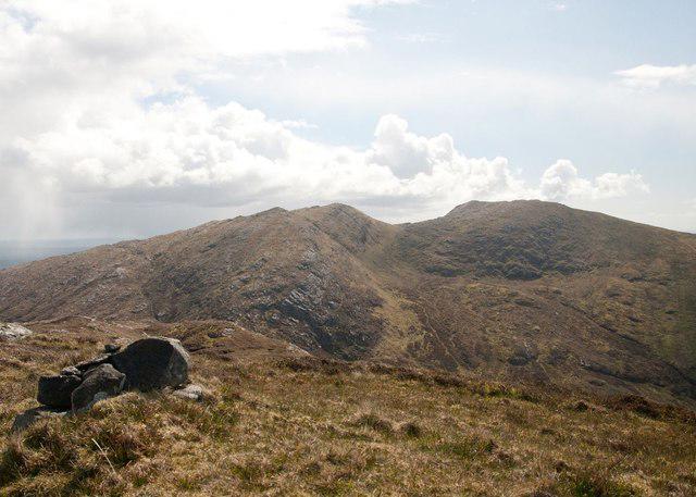 Photo could not load
NF6801 : Grianan Summit, Barra
Becky Williamson
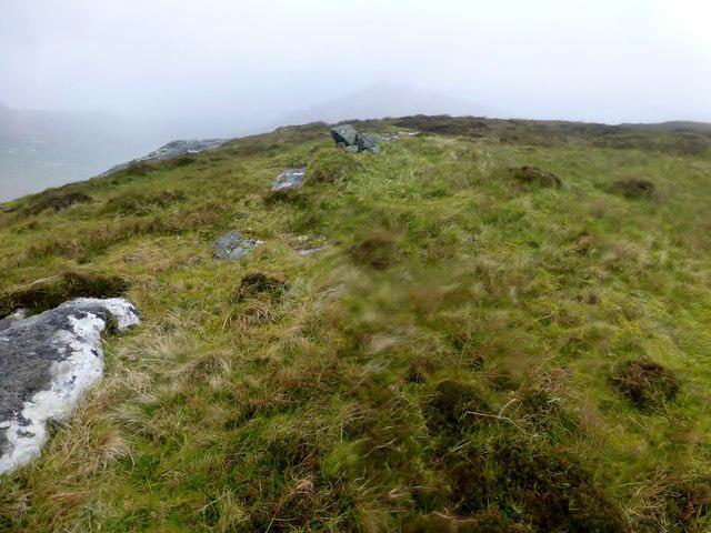 Photo could not load
NF6801 : Grianan Summit
Rude Health
Hill facts and local notes
Classifications
Elevation
295m
968 ft
Prominence
131m
Coordinates
56.9853, -7.4659
NF681015
OS Map
31
Explorer: 452N
At the Summit
At the summit, you will find the impressive Grianan of Aileach fort, a stone ring fort with panoramic views and a great spot for a picnic (minus the ants, ideally!).
Terrain & Geology
Grianan is primarily composed of ancient volcanic rock, offering glimpses of the region's geological past and providing a sturdy footing for hikers.
Views & Scenery
The sweeping vistas include Lough Swilly, the Inishowen Peninsula, and, on a clear day, even the distant hills of County Derry.
History & Heritage
Name Origin
Grianan translates to 'The little place of the sun' in Irish, which sounds far better than 'the place with rocks on top'.
Historical Significance
The fort's historical importance dates back to the 5th century, serving as a royal seat and a strategic military point.
Getting There & Facilities
Parking
There's a dedicated car park at the trailhead near Grianan, which is free of charge – just don't forget where you parked!
Public Transport
Nearest bus stop is in Burt, approximately 5 km away; a bit of a trek but good for the glutes.
Nearby Facilities
Public toilets are available near the parking area, and don't miss the cafes in Burt for a slice of cake to fuel your journey.
Safety Information
Known Hazards
- Watch out for sudden weather changes; it can go from sunny to 'where did I leave my waterproofs?' in moments.
- Uneven ground and rocky areas may present a challenge, particularly for those who don't see eye to eye with their balance!
General Safety Tips
- Check weather conditions before setting out
- Carry appropriate clothing and equipment
- Let someone know your planned route
- Take a map, compass, and GPS device
- Carry emergency supplies: food, water, first aid kit, torch
Hills
Some common questions about the hills answered
Are there group walks up Grianan?
Many walkers use Walkmates to join or organise walks with others. You can check for group walks around Grianan through the maps
Are there other walkers around Grianan?
Activity varies by location and time, but Walkmates lets you see whether others have shared walks or shown interest in this area. Find other people through the walking friends search walking friends for Grianan search or of course create your own walk for Grianan
Can I organise a walk to Grianan?
Yes. If there aren’t any walks listed already, you can create a walk and make it available for others to join.
If you're signed up to Walkmates, you can create a walk to Grianan.
How do I find a walk up this hill?
There are often multiple ways to walk this hill, depending on experience and route preference. Walkmates helps you explore walks and routes that others have shared.
Can I suggest a new route up Grianan?
Yes. You can suggest or create routes to share with others. Walkmates focuses on the social side of walking, so routes are used to help people organise walks and explore areas together, rather than as detailed navigation tools or route libraries.
Other uses really appreciate knowledgeable walkers sharing their routes. Share your favourite route to Grianan here
The is an error or something incorrect about this hill. How do I let you know?
We always strive to keep the information on Walkmates as accurate as possible. If you find an error, please let us know through the contact form and we'll aim to correct it as quickly as possible
Community Discussion
Comments
Location
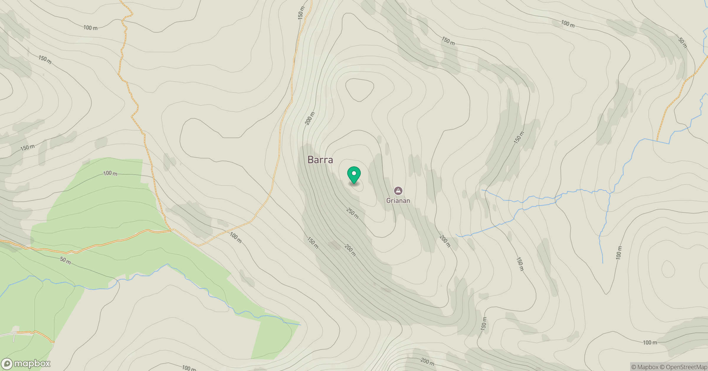
Grid reference: NF681015
View on OpenStreetMapOpens a map in a new tab, centred on the hill.
No comments yet. Be the first.