

Danbury Ring
Good walks are even better shared.
TL7805 : Armada Commemorative Beacon - Danbury
Malcolm Reid Photo source
Overview
Danbury Ring
Situated in the picturesque region of Essex, the Danbury Ring rises modestly at 162 meters, but don't let its height fool you. This summit packs a punch with its lush scenery and charming surroundings, making it a beloved destination for locals and visitors alike.
Geology
The Danbury Ring is primarily composed of London Clay, known for its rich deposits that can support diverse flora and fauna. The mixed terrain of clay and gravel provides an interesting backdrop for hiking—don’t forget to watch your step in the muddy areas!
Routes
One of the most popular ways to reach the summit is via the Danbury Common Circular Walk, a moderate 7.5 km route that can be completed in about 2.5 hours. This circular route brings adventurers through delightful woodlands and open fields, offering ample opportunities to spot wildlife. Just be prepared for the odd muddy patch!
Summit Features
The summit itself features a lovely grassy plateau, complete with a bench ideal for a well-earned picnic break. Make sure to take a moment to soak in the views—particularly lovely on a spring or autumn day when nature really shows off.
Terrain Type
Expect a mix of woodland paths, grassy slopes, and occasionally muddy regions. After rainfall, it may feel like you're hiking through a swamp, so stout hiking boots are recommended.
Views
From the summit, the view is nothing short of delightful. You can gaze down upon the Chelmer Valley and even catch a glimpse of Chelmsford city on a clear day.
Best Seasons
The best time for a visit is undoubtedly in spring or autumn when wildflowers bloom and the leaves transform into vibrant hues—perfect for Instagram snaps!
Hazards
While hiking Danbury Ring, it's essential to stay aware of slippery paths, especially after rain. And keep a lookout for mountain bikers who share some of the trails.
Nearby Summits
For those seeking further adventure, nearby summits include Greenbury Hill (133m) and Danbury Hill (134m). Both provide additional stunning walking routes and views.
Access
For those driving, the nearest parking is at the Danbury Common Car Park, which offers good space and is conveniently located just a few minutes’ walk from the start of the trails. If you’re relying on public transport, several buses run from Chelmsford to Danbury, with a bus stop around 0.5 km away.
Facilities
After your hike, why not enjoy a well-deserved meal? The village of Danbury boasts a few pubs and restaurants ready to serve you! Plus, if nature calls, public toilets are available at the Danbury Common Car Park.
History
The name Danbury translates to 'fortified settlement of the Danes', reflecting the area's rich history. Remnants from the Iron Age and Roman periods can still be found nearby, giving hikers a tangible connection to the past.
All in all, Danbury Ring may not be the highest peak in the region, but it's a trail brimming with charm and history, and it’s certainly engaging. So, put on your hiking boots and grab your walking stick—adventure awaits!
Explore routes near Danbury Ring
Walks starting near this hill. Open a route to check its map, distance and full itinerary.
Chelmsford Walk with Men Walking & Talking
View route
Sandylay and Moat Woods fungi walk
View route
Goldhanger coastal walk
View route
Thorndon Country Park: Jury Hill, woodland and Old Hall Pond
View route
Route planning notes
These notes describe possible approaches. Check a route's map and access information when planning your walk.
Danbury Common Circular Walk
A popular circular route starting at Danbury Common, showcasing some scenic woodlands and open fields.
Make a day of it, together
Find someone to share the walk with, or organise a day out along a route you like.
Photo Gallery
View all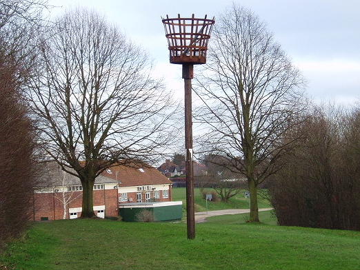 Photo could not load
TL7805 : Armada Commemorative Beacon - Danbury
Malcolm Reid
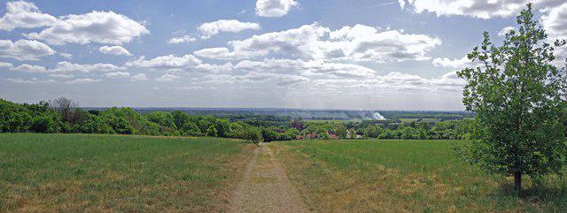 Photo could not load
TL7704 : Danbury View Panorama
Glyn Baker
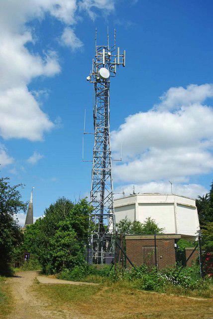 Photo could not load
TL7705 : Water & Wireless
Glyn Baker
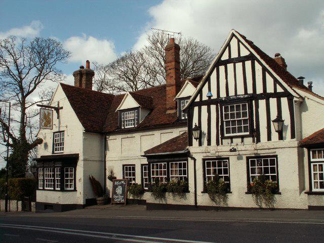 Photo could not load
TL7705 : 'The Griffin' inn, at the heart of Danbury village
Robert Edwards
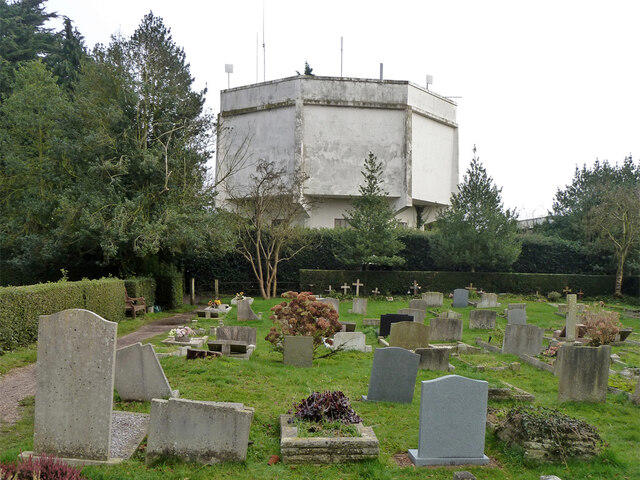 Photo could not load
TL7705 : Water tower, Danbury
Robin Webster
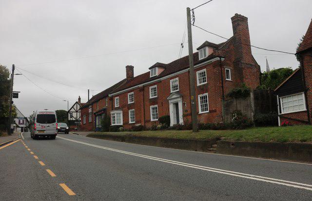 Photo could not load
TL7705 : Main Road, Danbury
David Howard
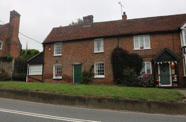 Photo could not load
TL7705 : Cottages on Main Road, Danbury
David Howard
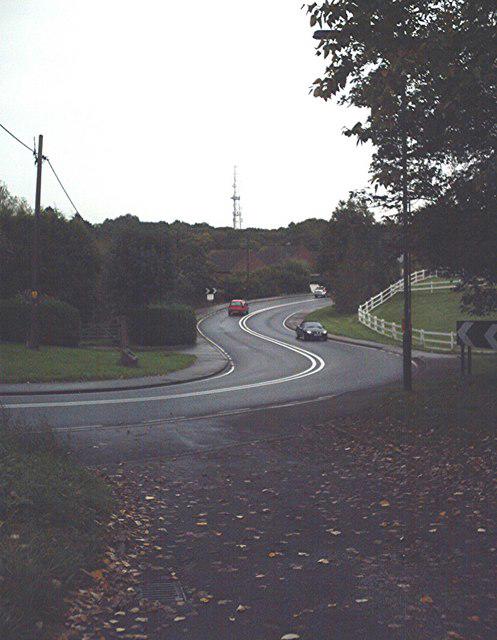 Photo could not load
TL7805 : S-Bend, A414
John Myers
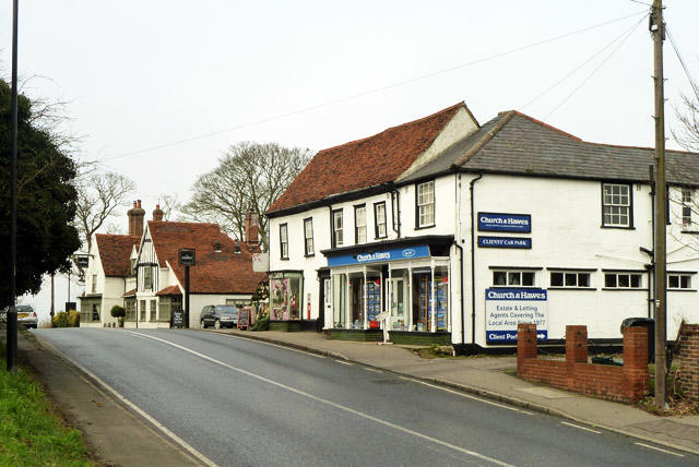 Photo could not load
TL7705 : Shops, Main Road, Danbury
Robin Webster
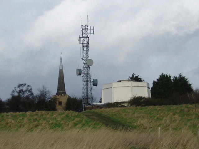
TL7705 : Communications Mast - Danbury
Malcolm Reid
Hill facts and local notes
Classifications
Elevation
111m
364 ft
Prominence
63m
Coordinates
51.7168, 0.5741
TL779051
OS Map
167
Explorer: 183E
At the Summit
The summit features a small grassy plateau, offering a charming setting, along with a wooden bench that begs for a picnic.
Terrain & Geology
The Danbury Ring is primarily composed of London Clay and gravel deposits, offering a mix of clay and softer rock terrains. Notably, the surrounding areas are rich in flora and fauna due to the varied soil types.
Views & Scenery
From the summit, hikers can enjoy panoramic views over the Chelmer Valley and into the cityscape of Chelmsford on a clear day.
History & Heritage
Name Origin
Danbury is derived from the Old English 'Dena burh' meaning 'fortified settlement of the Danes'.
Historical Significance
The area holds historical significance, including remnants from the Iron Age and Roman settlements.
Getting There & Facilities
Parking
Danbury Common Car Park, located off the Main Road, with ample space for vehicles and a 5-minute walk to the trails.
Public Transport
Regular bus services connect Danbury to Chelmsford, with the nearest bus stop just 0.5 km from the starting point.
Nearby Facilities
A few pubs and restaurants are located in the village of Danbury, providing food and refreshments. Public toilets can be found at the Danbury Common Car Park.
Safety Information
Known Hazards
- Beware of slippery paths after wet weather and potential encounters with wildlife. Keep an eye out for mountain bikers on shared trails.
General Safety Tips
- Check weather conditions before setting out
- Carry appropriate clothing and equipment
- Let someone know your planned route
- Take a map, compass, and GPS device
- Carry emergency supplies: food, water, first aid kit, torch
Hills
Some common questions about the hills answered
Are there group walks up Danbury Ring?
Many walkers use Walkmates to join or organise walks with others. You can check for group walks around Danbury Ring through the maps
Are there other walkers around Danbury Ring?
Activity varies by location and time, but Walkmates lets you see whether others have shared walks or shown interest in this area. Find other people through the walking friends search walking friends for Danbury Ring search or of course create your own walk for Danbury Ring
Can I organise a walk to Danbury Ring?
Yes. If there aren’t any walks listed already, you can create a walk and make it available for others to join.
If you're signed up to Walkmates, you can create a walk to Danbury Ring.
How do I find a walk up this hill?
There are often multiple ways to walk this hill, depending on experience and route preference. Walkmates helps you explore walks and routes that others have shared.
Can I suggest a new route up Danbury Ring?
Yes. You can suggest or create routes to share with others. Walkmates focuses on the social side of walking, so routes are used to help people organise walks and explore areas together, rather than as detailed navigation tools or route libraries.
Other uses really appreciate knowledgeable walkers sharing their routes. Share your favourite route to Danbury Ring here
The is an error or something incorrect about this hill. How do I let you know?
We always strive to keep the information on Walkmates as accurate as possible. If you find an error, please let us know through the contact form and we'll aim to correct it as quickly as possible
Community Discussion
Comments
Location
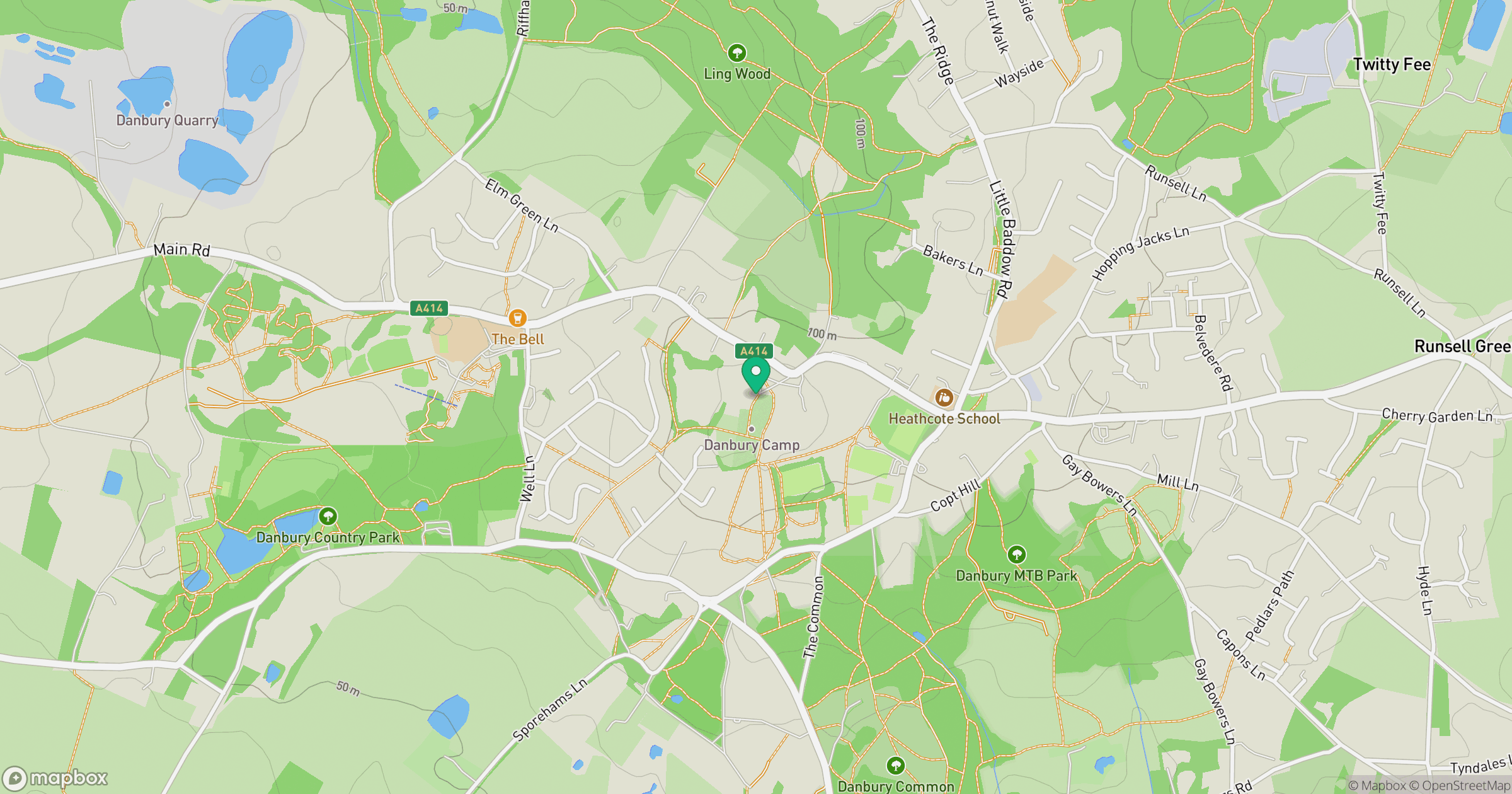
Grid reference: TL779051
View on OpenStreetMapOpens a map in a new tab, centred on the hill.

No comments yet. Be the first.