

Knockchree
Good walks are even better shared.
J2716 : Sandstone rocks of the Hawick Group near the summit of Knockchree
Eric Jones Photo source
Explore routes near Knockchree
Walks starting near this hill. Open a route to check its map, distance and full itinerary.
Silent Valley to Ben Crom Dam: Reservoir Road Walk, County Down
View route
Tollymore Forest Park: River Trail near Newcastle
View route
Castlewellan Forest Park: Lake, Arboretum and Mitchell's Lake Circuit
View route
Scarva to Poyntzpass: Newry Canal and Lough Shark Return
View route
Route planning notes
These notes describe possible approaches. Check a route's map and access information when planning your walk.
Knockchree Loop
A gentle circuit that takes in Knockchree's scenic splendour and local wildlife. Perfect for those who enjoy a leisurely day in the hills.
Make a day of it, together
Find someone to share the walk with, or organise a day out along a route you like.
Photo Gallery
View all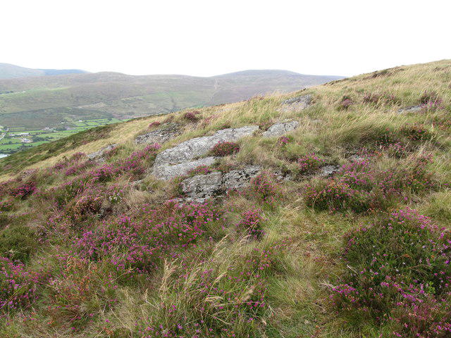 Photo could not load
J2716 : Sandstone rocks of the Hawick Group near the summit of Knockchree
Eric Jones
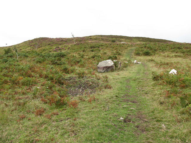 Photo could not load
J2717 : Track leading to the summit of Knockchree
Eric Jones
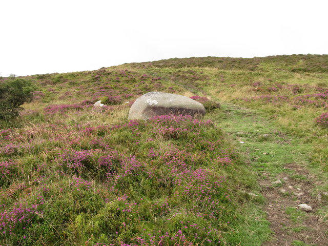 Photo could not load
J2717 : Dry heath and an erratic below the summit of Knockchree
Eric Jones
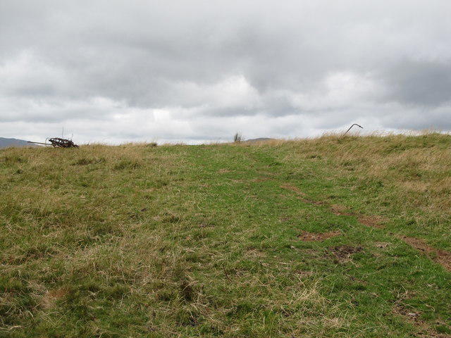 Photo could not load
J2717 : Approaching the summit of Knockchree
Eric Jones
Hill facts and local notes
Classifications
Elevation
306m
1,004 ft
Prominence
180m
Coordinates
54.0865, -6.0585
J271170
OS Map
29
At the Summit
The summit features a prominent trig point and a well-built stone cairn, providing the perfect backdrop for a summit selfie.
Terrain & Geology
Predominantly composed of quartzite, providing stunning views and unique formations. This tough rock can stand the test of time, though it might make a lovely rock for you to trip over if you’re not careful!
Views & Scenery
On a clear day, you can see the expansive Lough Gill and the rugged terrain of the Cuilcagh Mountains. Keep your eyes peeled for the elusive fox, or at least the locals call it so!
History & Heritage
Name Origin
The name 'Knockchree' comes from 'Cnoc Craobh', which translates to 'hill of the tree', likely referring to the lowland woodlands that used to cover the area.
Historical Significance
Knockchree has been a silent witness to the passage of centuries, steeped in local folklore and regarded as a site of natural beauty.
Getting There & Facilities
Parking
There is a small car park located at the start of the Knockchree Loop, offering ample space for hikers, though it does fill up on sunny weekends.
Public Transport
Buses from Sligo city operate to nearby villages. Check local schedules for the latest information.
Nearby Facilities
The nearest facilities are in Ballintogher, where you can find a pub, a shop, and public toilets - perfect for a pre-hike fuel-up.
Safety Information
Known Hazards
- Loose rocks and occasionally boggy areas can create tricky footing; proper footwear is advisable. Also, the weather can change faster than a politician's promises, so be prepared!
General Safety Tips
- Check weather conditions before setting out
- Carry appropriate clothing and equipment
- Let someone know your planned route
- Take a map, compass, and GPS device
- Carry emergency supplies: food, water, first aid kit, torch
Hills
Some common questions about the hills answered
Are there group walks up Knockchree?
Many walkers use Walkmates to join or organise walks with others. You can check for group walks around Knockchree through the maps
Are there other walkers around Knockchree?
Activity varies by location and time, but Walkmates lets you see whether others have shared walks or shown interest in this area. Find other people through the walking friends search walking friends for Knockchree search or of course create your own walk for Knockchree
Can I organise a walk to Knockchree?
Yes. If there aren’t any walks listed already, you can create a walk and make it available for others to join.
If you're signed up to Walkmates, you can create a walk to Knockchree.
How do I find a walk up this hill?
There are often multiple ways to walk this hill, depending on experience and route preference. Walkmates helps you explore walks and routes that others have shared.
Can I suggest a new route up Knockchree?
Yes. You can suggest or create routes to share with others. Walkmates focuses on the social side of walking, so routes are used to help people organise walks and explore areas together, rather than as detailed navigation tools or route libraries.
Other uses really appreciate knowledgeable walkers sharing their routes. Share your favourite route to Knockchree here
The is an error or something incorrect about this hill. How do I let you know?
We always strive to keep the information on Walkmates as accurate as possible. If you find an error, please let us know through the contact form and we'll aim to correct it as quickly as possible
Community Discussion
Comments
Location
View the hill's mapped position and surrounding paths.
Grid reference: J271170
View on OpenStreetMapOpens a map in a new tab, centred on the hill.
No comments yet. Be the first.