

Hoghton Tower
Good walks are even better shared.
SD6226 : Thank goodness
Ian Paterson Photo source
Overview
Hoghton Tower: A Hidden Gem in Lancashire
For anyone looking for a hike that mixes history, stunning views, and a dash of Tudor charm, Hoghton Tower is the perfect destination. Located in Lancashire, this hill isn’t the highest you’ll climb, but it certainly packs a punch in terms of what it offers.
Geology
Hoghton Tower is situated on limestone, featuring fascinating karst topography. When exploring the area, keep an eye out for unique rock formations and evidence of erosion that tell the story of the landscape.
Routes
The Hoghton Tower Loop is a delightful walk that’s suitable for all ages and abilities. Starting from the visitor centre, the 4 km loop takes approximately 1.5 hours. It's well marked, and you might even be tempted to have a picnic on the way, as the route meanders through beautiful woodland and open fields.
Summit Features
Upon reaching the summit, you are greeted by the stunning Hoghton Tower itself. This historical manor is a sight to behold and offers an excellent vantage point to soak up the surrounding scenery.
Terrain Type
The terrain is primarily grassy with some uneven patches, ideal for a casual stroll. Be aware of the odd root sticking out to trip the casual hiker—nature's way of keeping you on your toes!
Views
The views from the summit are nothing short of spectacular. You can see the West Pennine Moors stretching outwards, and on particularly clear days, the Isle of Man might pop into view. Spring and autumn are particularly magical times to visit for colourful displays and wildlife activities. The early morning light is perfect for photography, so don’t forget your camera!
Hazards
As with any hike, always be cautious. The trails can become slippery after rainfall, and it’s easy to trip over roots or uneven ground. A good pair of hiking boots will serve you well here!
Nearby Summits
If you’re feeling adventurous, consider heading to nearby Blea Turret, another charming hill offering beautiful views of the landscape.
Access
Parking is conveniently provided at the visitor centre, making it easy to start your adventure without a long trek to the trailhead. Public transport options are available, with buses from Blackburn stopping close to the hill.
Facilities
The visitor centre is open during the day with a café serving delightful treats—perfect after a good walk. Facilities include clean toilets and a small shop for souvenirs.
History
The etymology of ‘Hoghton’ hints at its Viking past, while the tower itself has stories woven into its walls from its Tudor heyday. King Charles I supposedly knighted a local landowner here, and while he may not have had your average hiking boot, his legacy is well-preserved in this charming spot.
In summary, Hoghton Tower is more than just a hill; it’s a place where history meets nature, making it an ideal outing for both hikers and history buffs alike. So grab your hiking boots and prepare for some breathtaking views!
Explore routes near Hoghton Tower
Walks starting near this hill. Open a route to check its map, distance and full itinerary.
Brockholes Reserve Tour
View route
Brockholes Wildflower Year guided walk
View route
Brockholes Reserve Tour
View route
History of Christmas guided walk
View route
Route planning notes
These notes describe possible approaches. Check a route's map and access information when planning your walk.
Hoghton Tower Loop
A scenic loop starting from the visitor centre, winding through pleasant woodland before ascending towards the tower itself.
Make a day of it, together
Find someone to share the walk with, or organise a day out along a route you like.
Photo Gallery
View all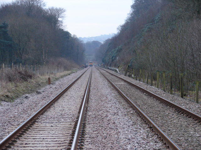 Photo could not load
SD6226 : Thank goodness
Ian Paterson
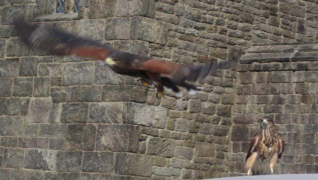 Photo could not load
SD6226 : Harris Hawks at Hoghton Tower
philandju
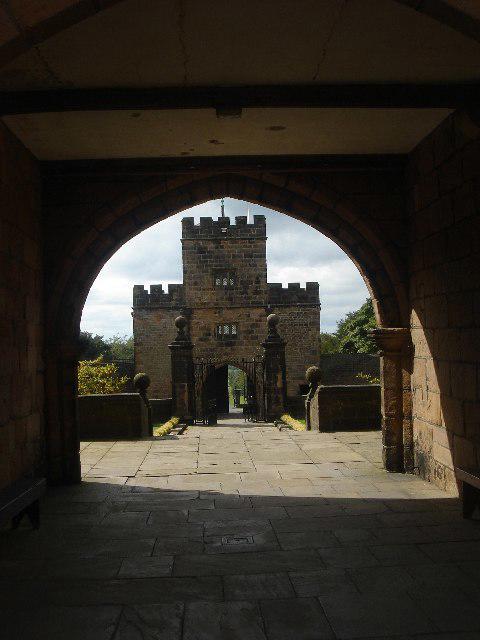 Photo could not load
SD6226 : Hoghton Tower
Margaret Clough
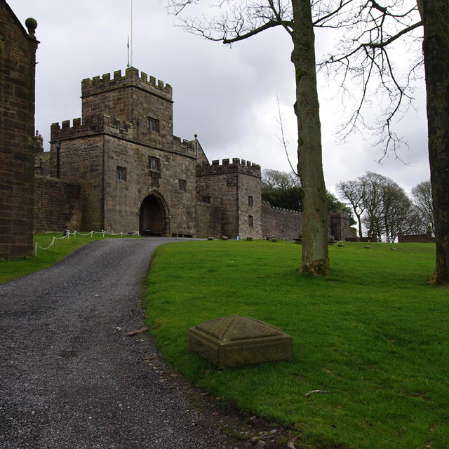 Photo could not load
SD6226 : Hoghton Tower
Ian Taylor
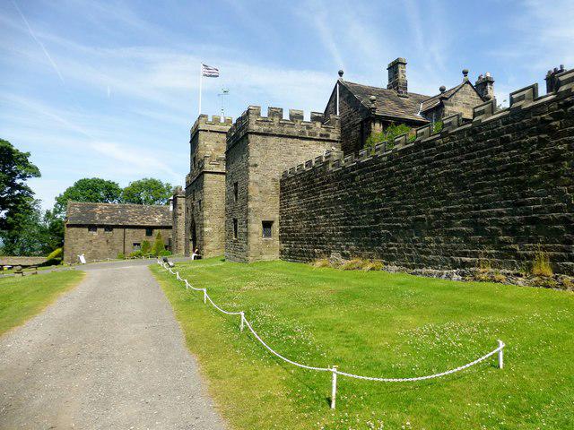 Photo could not load
SD6226 : Hoghton Tower
Rude Health
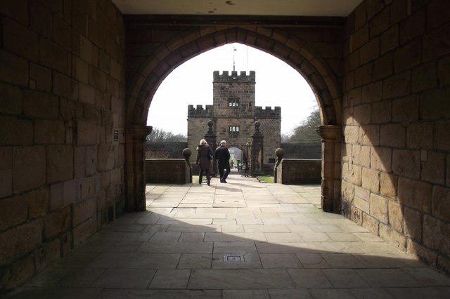 Photo could not load
SD6226 : Hoghton Tower
philandju
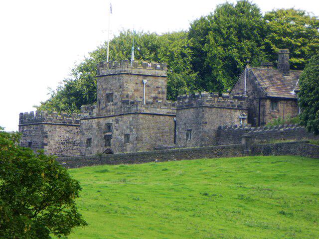 Photo could not load
SD6226 : Hoghton Tower from Green Lane
philandju
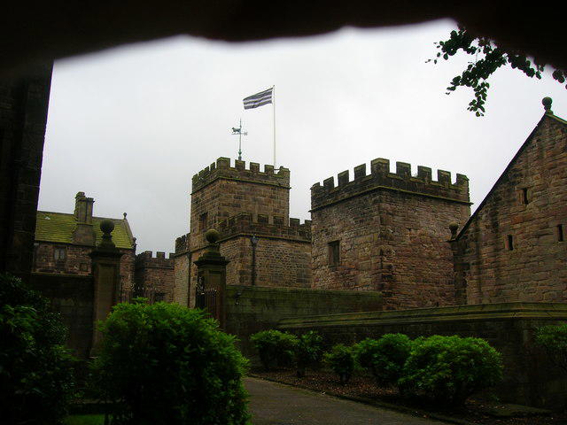 Photo could not load
SD6226 : Hoghton Tower
John H Darch
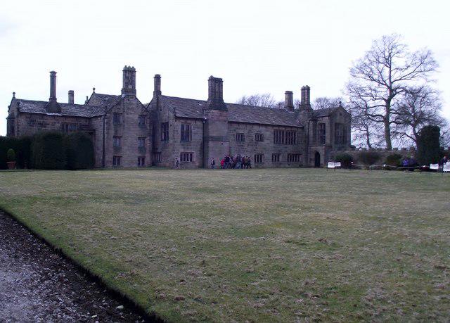 Photo could not load
SD6226 : Hoghton Tower
philandju
Hill facts and local notes
Classifications
Elevation
179m
587 ft
Prominence
69m
Coordinates
53.7330, -2.5729
SD623264
OS Map
102 103
Explorer: 287
At the Summit
The summit is crowned by Hoghton Tower, a magnificent Tudor manor house. There’s also a viewing terrace that provides an extraordinary panorama.
Terrain & Geology
Hoghton Tower is primarily composed of limestone, part of the Bowland Limestone formation. The rock exhibits notable karst features, with some fascinating erosion patterns to explore.
Views & Scenery
From the summit, climbers can see the beautiful West Pennine Moors, and on a clear day, even as far out as the Isle of Man.
History & Heritage
Name Origin
The name 'Hoghton' derives from the Old Norse 'Hogg's Town', suggesting a Viking heritage.
Historical Significance
Hoghton Tower has a rich history dating back to the 16th century and is famously associated with the legend of King Charles I, who is said to have knighted a local landowner here.
Getting There & Facilities
Parking
Parking is available at Hoogheston Tower's visitor centre with ample space for vehicles.
Public Transport
The nearest bus stop is at the bottom of the hill in Hoghton, with services running from Blackburn.
Nearby Facilities
The visitor centre offers a café, toilets, and a souvenir shop. Be sure to sample their cream tea!
Safety Information
Known Hazards
- Uneven trails, particularly after rain, which can become slippery. Watch for low-hanging branches in wooded areas!
General Safety Tips
- Check weather conditions before setting out
- Carry appropriate clothing and equipment
- Let someone know your planned route
- Take a map, compass, and GPS device
- Carry emergency supplies: food, water, first aid kit, torch
Hills
Some common questions about the hills answered
Are there group walks up Hoghton Tower?
Many walkers use Walkmates to join or organise walks with others. You can check for group walks around Hoghton Tower through the maps
Are there other walkers around Hoghton Tower?
Activity varies by location and time, but Walkmates lets you see whether others have shared walks or shown interest in this area. Find other people through the walking friends search walking friends for Hoghton Tower search or of course create your own walk for Hoghton Tower
Can I organise a walk to Hoghton Tower?
Yes. If there aren’t any walks listed already, you can create a walk and make it available for others to join.
If you're signed up to Walkmates, you can create a walk to Hoghton Tower.
How do I find a walk up this hill?
There are often multiple ways to walk this hill, depending on experience and route preference. Walkmates helps you explore walks and routes that others have shared.
Can I suggest a new route up Hoghton Tower?
Yes. You can suggest or create routes to share with others. Walkmates focuses on the social side of walking, so routes are used to help people organise walks and explore areas together, rather than as detailed navigation tools or route libraries.
Other uses really appreciate knowledgeable walkers sharing their routes. Share your favourite route to Hoghton Tower here
The is an error or something incorrect about this hill. How do I let you know?
We always strive to keep the information on Walkmates as accurate as possible. If you find an error, please let us know through the contact form and we'll aim to correct it as quickly as possible
Community Discussion
Comments
Location
View the hill's mapped position and surrounding paths.
Grid reference: SD623264
View on OpenStreetMapOpens a map in a new tab, centred on the hill.




No comments yet. Be the first.