
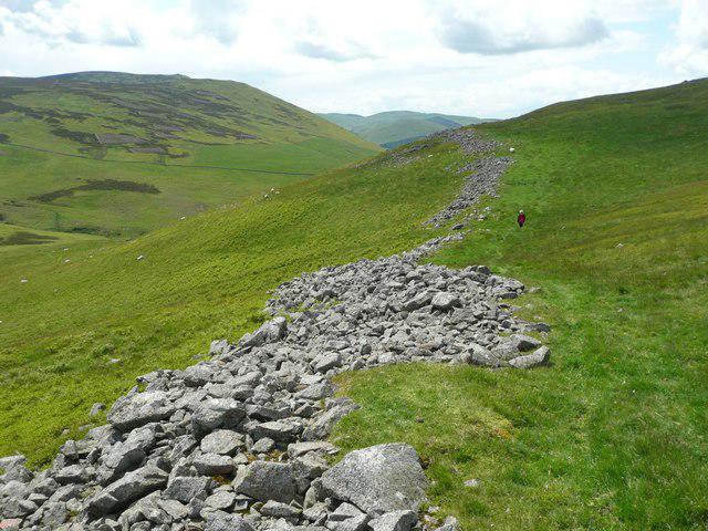
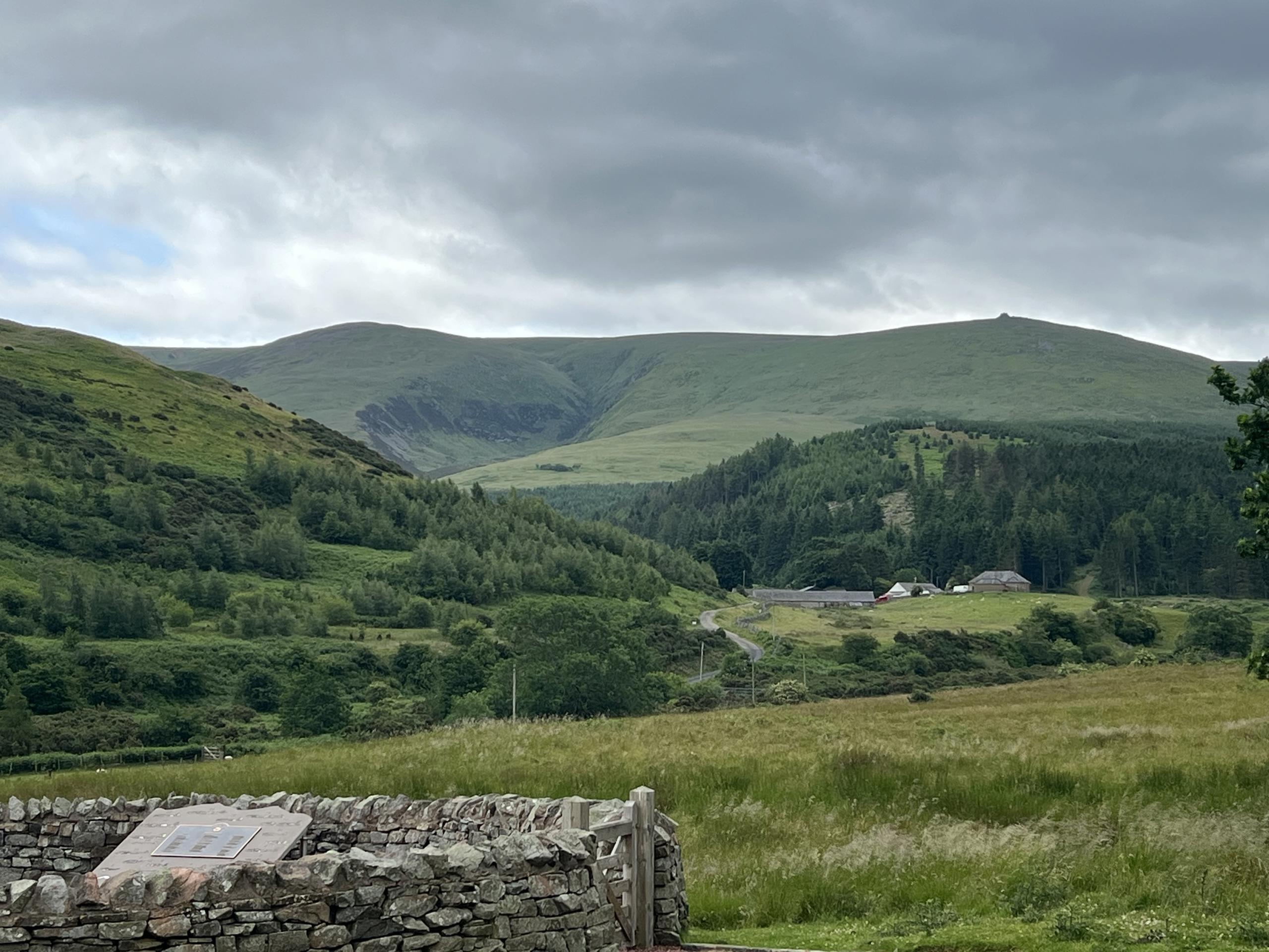
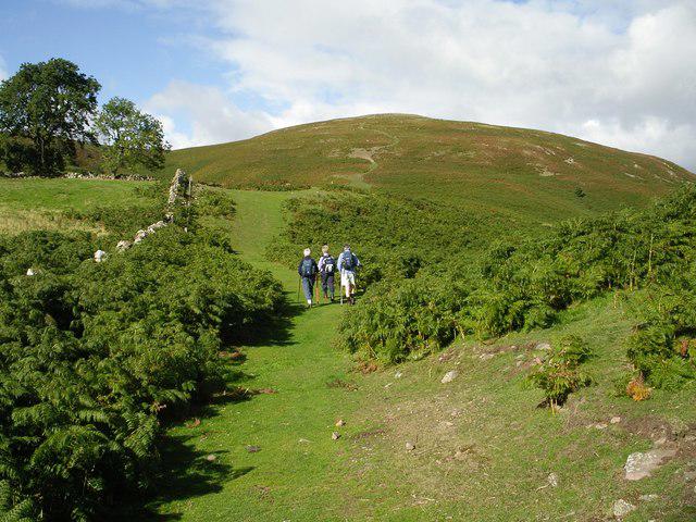
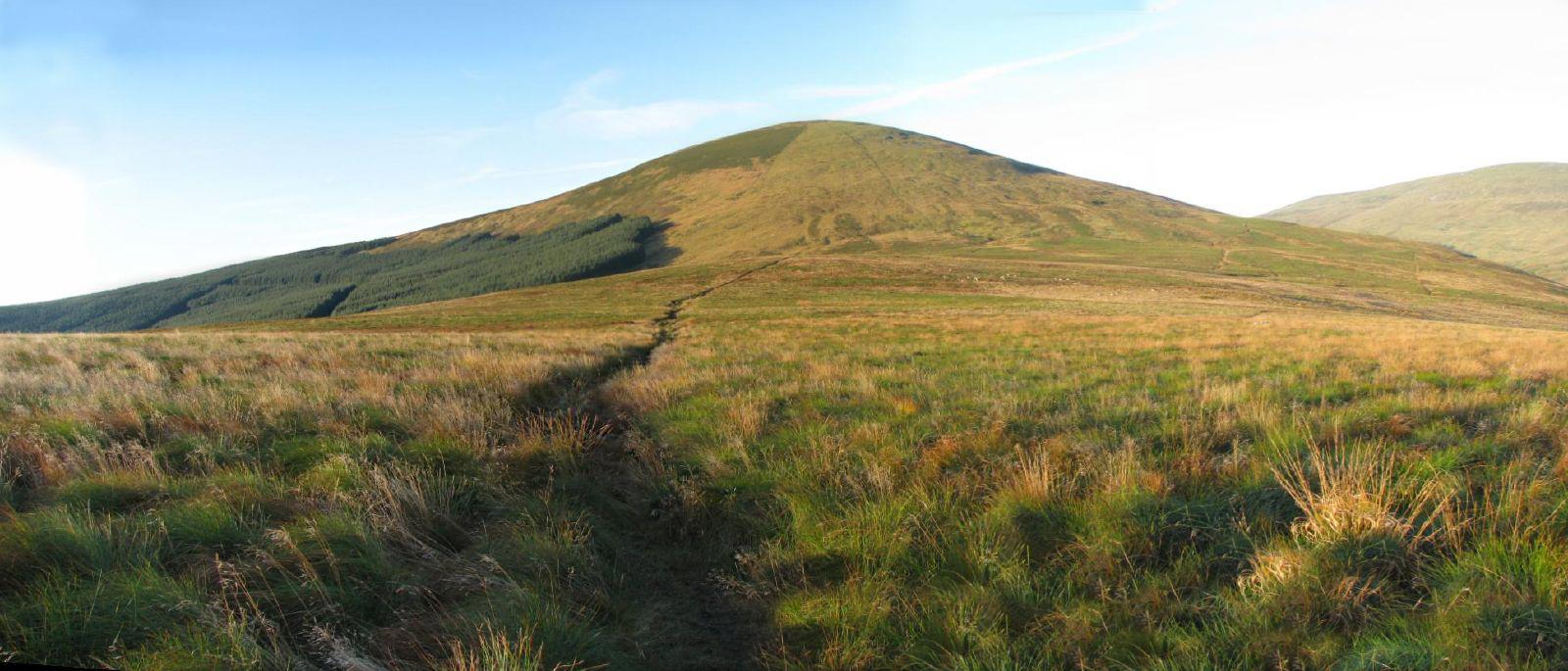
Upland / Hill
Circular
Medium
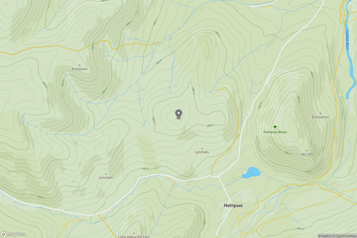
Yeavering Bell and Easter Tor Circular
PaulWalkmates
Walk organiser
No comments yet. Be the first.