Circular
Medium
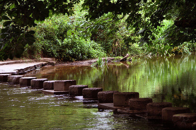
Box Hill - Stepping Stones Circuit
PaulWalkmates
Walk organiser

Westerham Heights Group Walks | Join a Walk
Join group walks, find walking companions and friends, or organise your own!
Don't walk alone! Find friendly walkers to explore Westerham Heights together. Join scheduled group walks or start your own.
Elevation
245m
804 ft
Prominence
0m
Coordinates
51.2895, 0.0583
TQ436564
OS Map
187
Explorer: 147
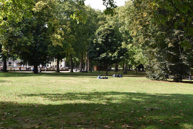
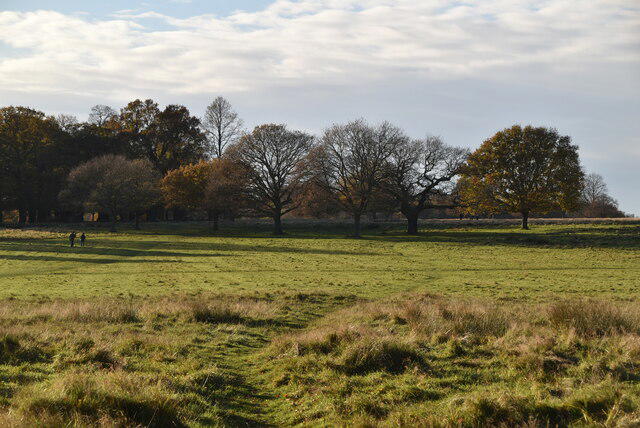
The summit features a trig point and a large grassy area perfect for a picnic. You'll find a bench nearby for a breather while soaking in the scenic views.
Westerham Heights is primarily formed from the Upper Chalk of the Chalk Group, which was deposited in warm, shallow seas during the Late Cretaceous period. This geological formation contributes to the area's distinctive white cliffs and fertile soils, making it a notable feature of the Kent landscape.
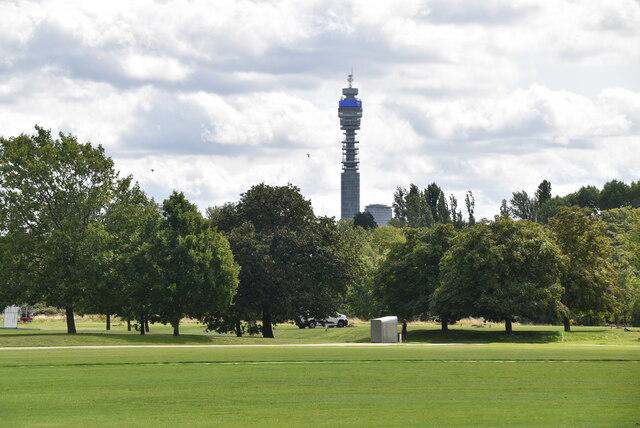
From the summit, you can see the rolling hills of the Kent Downs, the M25 in the distance, and on a clear day, even the iconic London skyline.
The name 'Westerham' is derived from Old English, meaning 'hamlet in the west'.
This area has historical significance related to the English Civil War and the famous Chartwell House, the home of Winston Churchill, is nearby.
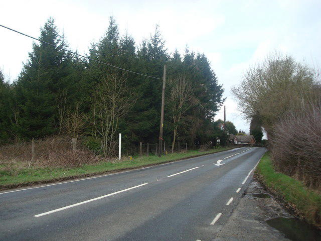
A pleasant circular route starting from Westerham that takes you through lush woodlands and offers views of the surrounding countryside.
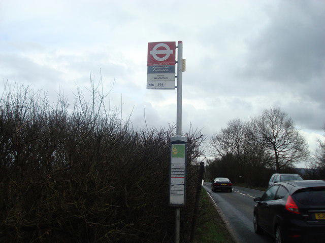
There is parking available at Westerham car park, just a short walk from the trailhead.
The nearest train station is in Sevenoaks, and local buses connect to Westerham.
There are several cafes and shops in Westerham, along with public toilets near the car park.
Join friendly walkers exploring Westerham Heights and surrounding area
More walks starting close to this area
Create a walk and let others join you. It's free and easy!
Some common questions about the hills answered
Many walkers use Walkmates to join or organise walks with others. You can check for group walks around Westerham Heights through the maps
Activity varies by location and time, but Walkmates lets you see whether others have shared walks or shown interest in this area. Find other people through the walking friends search walking friends for Westerham Heights search or of course create your own walk for Westerham Heights
Yes. If there aren’t any walks listed already, you can create a walk and make it available for others to join.
If you're signed up to Walkmates, you can create a walk to Westerham Heights.
There are often multiple ways to walk this hill, depending on experience and route preference. Walkmates helps you explore walks and routes that others have shared.
Yes. You can suggest or create routes to share with others. Walkmates focuses on the social side of walking, so routes are used to help people organise walks and explore areas together, rather than as detailed navigation tools or route libraries.
Other uses really appreciate knowledgeable walkers sharing their routes. Share your favourite route to Westerham Heights here
We always strive to keep the information on Walkmates as accurate as possible. If you find an error, please let us know through the contact form and we'll aim to correct it as quickly as possible
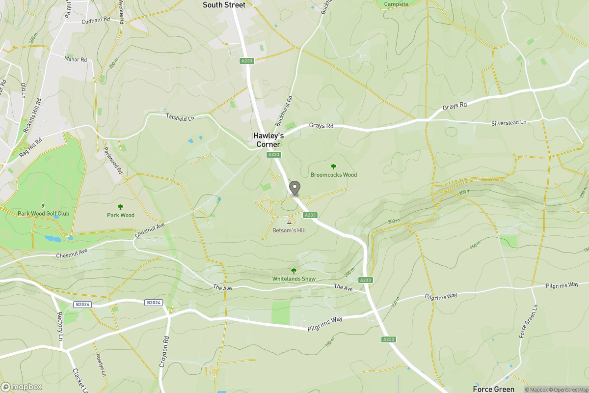
Grid Ref: TQ436564
Ditchling Beacon
248m
Leith Hill
294m
Worcestershire Beacon
425m
Glastonbury Tor
158m
The Roaches
505m
+ 5 more nearby hills
Find more walking companions in the area
No comments yet. Be the first.