Circular
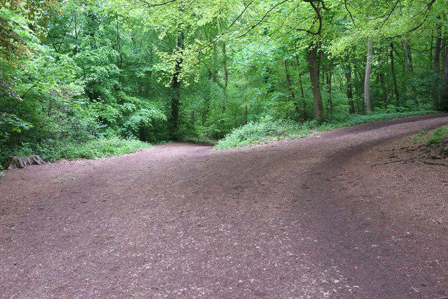
Lower Failand–Priors wood
PaulWalkmates
Walk organiser

Trostrey Hill Group Walks | Join a Walk
Join group walks, find walking companions and friends, or organise your own!
Don't walk alone! Find friendly walkers to explore Trostrey Hill together. Join scheduled group walks or start your own.
Elevation
199m
654 ft
Prominence
137m
Coordinates
51.7418, -2.9151
SO369051
OS Map
161
Explorer: OL13S 152
The summit boasts a trig point and a modest cairn, both excellent spots for a well-deserved lunch break and a photo op.
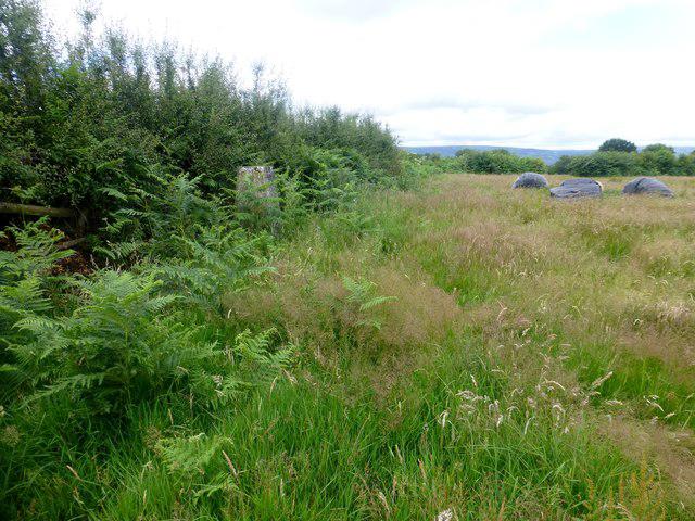
Trostrey Hill is composed primarily of volcanic rocks, notably basalt and andesite, which have been shaped by both erosion and glacial activity, providing a fascinating glimpse into the geological history of the area.
From the summit, enjoy stunning views of the Black Mountains and the rolling hills of the Brecon Beacons, with the valleys stretching down below. On a clear day, you might even spot the Severn!
The name 'Trostrey' is believed to derive from 'Tros Tref', meaning 'a crossing place' or 'hamlet on the ridge'.
Historically, Trostrey Hill has been a landmark for local farmers and shepherds guiding their sheep across the hills.
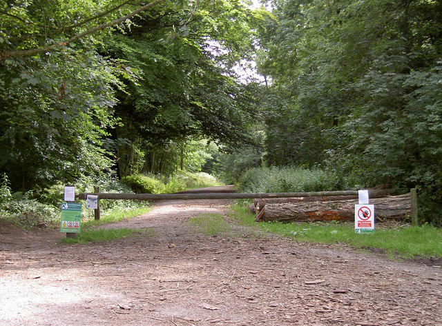
A pleasant circular route starting from the nearby village, offering views and gentle inclines.
A direct but steep path leading to the summit, perfect for those looking to get their breath taken away (both by the climb and the view!).
There is a small car park at the base in the village of Trostrey, with room for about 10 cars.
Regular bus services run to Abergavenny, from where a short taxi ride can take you to Trostrey.
Utilities in Trostrey are limited, but Abergavenny has ample cafés, shops, and public facilities including restrooms.
Join friendly walkers exploring Trostrey Hill and surrounding area
More walks starting close to this area
Create a walk and let others join you. It's free and easy!
Some common questions about the hills answered
Many walkers use Walkmates to join or organise walks with others. You can check for group walks around Trostrey Hill through the maps
Activity varies by location and time, but Walkmates lets you see whether others have shared walks or shown interest in this area. Find other people through the walking friends search walking friends for Trostrey Hill search or of course create your own walk for Trostrey Hill
Yes. If there aren’t any walks listed already, you can create a walk and make it available for others to join.
If you're signed up to Walkmates, you can create a walk to Trostrey Hill.
There are often multiple ways to walk this hill, depending on experience and route preference. Walkmates helps you explore walks and routes that others have shared.
Yes. You can suggest or create routes to share with others. Walkmates focuses on the social side of walking, so routes are used to help people organise walks and explore areas together, rather than as detailed navigation tools or route libraries.
Other uses really appreciate knowledgeable walkers sharing their routes. Share your favourite route to Trostrey Hill here
We always strive to keep the information on Walkmates as accurate as possible. If you find an error, please let us know through the contact form and we'll aim to correct it as quickly as possible
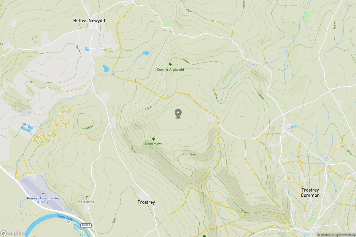
Grid Ref: SO369051
+ 5 more nearby hills
Find more walking companions in the area
No comments yet. Be the first.