

Stob Coire a' Chearcaill
Good walks are even better shared.
NN0172 : Stob Coire a' Chearcaill
Richard Webb Photo source
Explore routes near Stob Coire a' Chearcaill
Walks starting near this hill. Open a route to check its map, distance and full itinerary.
Banavie to Glen Loy Aqueduct: Neptune’s Staircase Canal Towpath
View route
Ben Nevis via Mountain Path
View route
Fort Augustus to Kytra Lock: Caledonian Canal Towpath
View route
Glen Affric: Coire Loch Woodland Trail
View route
Route planning notes
These notes describe possible approaches. Check a route's map and access information when planning your walk.
Coire a' Chearcaill Route
A popular and well-trodden path that starts from the car park near Kinlochleven, leading up through the scenic glen to the summit.
Allt Coire a' Chearcaill Approach
An alternative route starting from the Allt Coire a' Chearcaill, offering stunning views of the surrounding valleys and hills.
Make a day of it, together
Find someone to share the walk with, or organise a day out along a route you like.
Photo Gallery
View all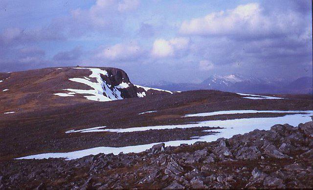 Photo could not load
NN0172 : Stob Coire a' Chearcaill
Richard Webb
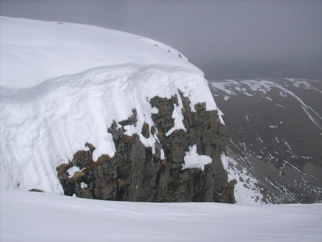 Photo could not load
NN0172 : Summit cliff edge of Stob Coire a' Chearcaill
Stephen Middlemiss
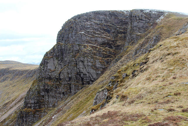 Photo could not load
NN0172 : Crags of Stob Coire a'Chearcaill
Andy Waddington
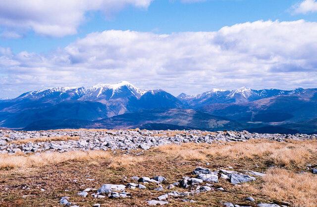 Photo could not load
NN0172 : Rocks on Stob Coire a' Chearcaill
Trevor Littlewood
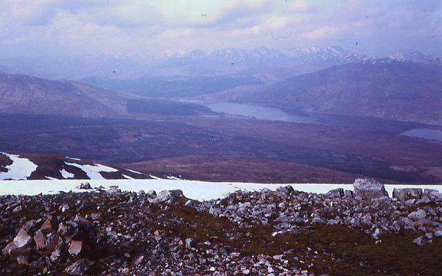 Photo could not load
NN0172 : Quartzite screes, Stob Coire a' Chearcaill
Richard Webb
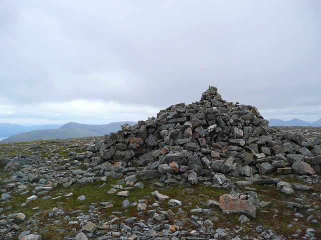 Photo could not load
NN0172 : Large cairn on the summit of Stob Coire a' Chearcaill
Gordon Brown
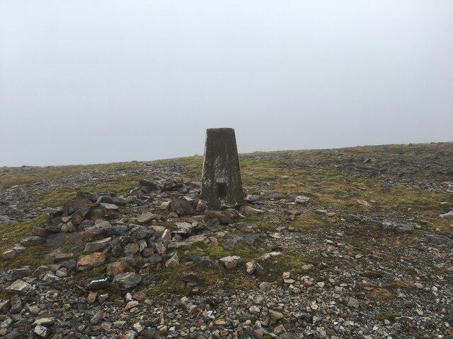 Photo could not load
NN0172 : Trig point on Stob Coire a’ Chearcaill
Steven Brown
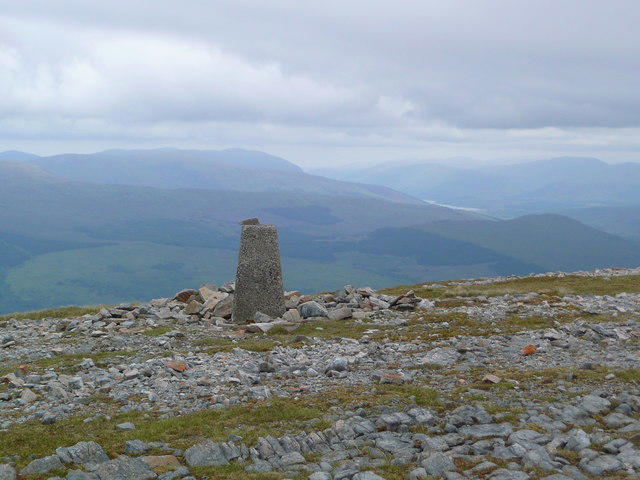 Photo could not load
NN0172 : Trig point on Stob Coire a' Chearcaill
Gordon Brown
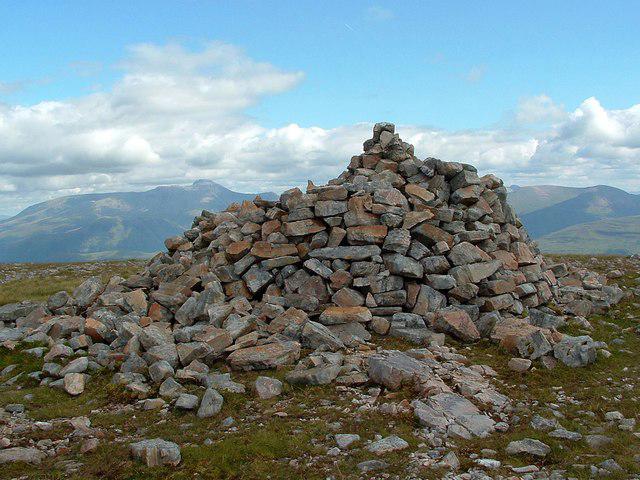 Photo could not load
NN0172 : Stob Coire a' Chearcaill cairn
Raibeart MacAoidh
Hill facts and local notes
Classifications
Elevation
771m
2,530 ft
Prominence
575m
Coordinates
56.8032, -5.2496
NN016726
OS Map
41
Explorer: 391
At the Summit
The summit features a distinctive cairn, providing a great photo opportunity, if you're not too breathless from the ascent!
Terrain & Geology
Stob Coire a' Chearcaill is primarily composed of granite and schist, characteristic of the Highland geological formations. The rugged terrain offers fascinating insights into glacial processes and erosion.
Views & Scenery
From the summit, enjoy breathtaking views of the surrounding landscape, including Ben Nevis, the highest peak in the UK, and the sprawling waters of Loch Leven.
History & Heritage
Name Origin
The name Stob Coire a' Chearcaill translates to 'Peak of the Hen's Coire', suggesting a historical association with the local wildlife or farming.
Historical Significance
Apart from its status as a Munro, the mountain is part of the local folklore and has been a significant landmark for hikers and climbers for many years.
Getting There & Facilities
Parking
There is a designated car park near Kinlochleven. Parking can fill up quickly, especially in peak seasons, so arrive early!
Public Transport
Buses from Fort William to Kinlochleven operate regularly, making it relatively easy to access the starting point.
Nearby Facilities
Kinlochleven has a few cafes, public toilets, and local shops for supplies. The experience wouldn’t be complete without a refreshing post-hike cuppa!
Safety Information
Known Hazards
- Loose rocks may be encountered on the ascent, particularly in steep sections. Be cautious of sudden weather changes, typical in Highland conditions.
General Safety Tips
- Check weather conditions before setting out
- Carry appropriate clothing and equipment
- Let someone know your planned route
- Take a map, compass, and GPS device
- Carry emergency supplies: food, water, first aid kit, torch
Hills
Some common questions about the hills answered
Are there group walks up Stob Coire a' Chearcaill?
Many walkers use Walkmates to join or organise walks with others. You can check for group walks around Stob Coire a' Chearcaill through the maps
Are there other walkers around Stob Coire a' Chearcaill?
Activity varies by location and time, but Walkmates lets you see whether others have shared walks or shown interest in this area. Find other people through the walking friends search walking friends for Stob Coire a' Chearcaill search or of course create your own walk for Stob Coire a' Chearcaill
Can I organise a walk to Stob Coire a' Chearcaill?
Yes. If there aren’t any walks listed already, you can create a walk and make it available for others to join.
If you're signed up to Walkmates, you can create a walk to Stob Coire a' Chearcaill.
How do I find a walk up this hill?
There are often multiple ways to walk this hill, depending on experience and route preference. Walkmates helps you explore walks and routes that others have shared.
Can I suggest a new route up Stob Coire a' Chearcaill?
Yes. You can suggest or create routes to share with others. Walkmates focuses on the social side of walking, so routes are used to help people organise walks and explore areas together, rather than as detailed navigation tools or route libraries.
Other uses really appreciate knowledgeable walkers sharing their routes. Share your favourite route to Stob Coire a' Chearcaill here
The is an error or something incorrect about this hill. How do I let you know?
We always strive to keep the information on Walkmates as accurate as possible. If you find an error, please let us know through the contact form and we'll aim to correct it as quickly as possible
Community Discussion
Comments
Location
View the hill's mapped position and surrounding paths.
Grid reference: NN016726
View on OpenStreetMapOpens a map in a new tab, centred on the hill.
Nearby Hills
Beinn a' Bheithir - Sgorr Dhonuill
1,002m
Beinn a' Bheithir - Sgorr Dhearg
1,024m
Pap of Glencoe
742m
Stob Ban
1,000m
Aonach Eagach - Sgorr nam Fiannaidh
968m
No comments yet. Be the first.