

Sgor Gaibhre
Good walks are even better shared.
NN4467 : Southern ridge of Sgòr Gaibhre
Chris Wimbush Photo source
Overview
Sgor Gaibhre
Location and Overview
Nestled in the heart of the Scottish Highlands, Sgor Gaibhre is a true gem for those eager to conquer a Munro. Towering at 1004 meters, this mountain offers a rewarding day out for hikers. The trail is known for its stunning vistas and varying terrain, making it suitable for a range of walking abilities.
Geology
Sgor Gaibhre's captivating landscape is primarily composed of schist and granite. These rocks are remnants of the Earth's tumultuous past, dating back to the Caledonian Orogeny—a geological event that shaped much of Scotland's rugged contours. It’s as if you’re walking through the pages of history itself!
Routes
There are several routes to tackle Sgor Gaibhre, with the Eas Anie route being one of the most accessible. Stretching around 14 km, this moderate walk offers gentle inclines and stunning scenery, perfect for families and seasoned hikers alike. Alternatively, the Bhranndail route presents a more challenging option, about 12 km in distance, leading you through more complex terrain but rewarding you with moments of solitude away from the crowds.
Summit Features
At the summit, adventurers are greeted with a well-built cairn and a trig point that serves as a navigation aid for those conquering the peak. Don’t forget to take a selfie here, as it’s a milestone worth capturing!
Terrain Type
Expect a blend of rocky paths and grassy slopes, with some tricky boggy patches to navigate near the base. Recommended gear includes sturdy hiking boots and, if you're sensible, gaiters to keep those pesky pebbles at bay.
Views
From the top, you can drink in breathtaking panoramic views of the Ben Alder range and Loch Ericht. On a clear day, the distant peaks of the Cairngorms call out to you. For the best chance of these spectacular views, aim for late spring or early autumn.
Hazards
As with all mountains, you should keep your wits about you. Sudden weather changes are common—be prepared for anything! Also, watch your footing on the rocky sections and keep an eye out for concealed bogs that may try to suck your boots off!
History
The name Sgor Gaibhre, meaning 'peak of the goat,' hints at its wild and pastoral roots. Historically, this area has been a vital part of the Highland landscape, filled with stories of both man and nature.
In conclusion, Sgor Gaibhre is not just another tick on your Munro list, but a rounded experience of Scottish wilderness at its finest. Lace up those hiking boots and prepare for an adventure that combines history, geology, and jaw-dropping views. Bon voyage!
Explore routes near Sgor Gaibhre
Walks starting near this hill. Open a route to check its map, distance and full itinerary.
Ben Nevis via Mountain Path
View route
Banavie to Glen Loy Aqueduct: Neptune’s Staircase Canal Towpath
View route
Killin: Falls of Dochart, Finlarig and Moirlanich Longhouse
View route
Kenmore: Drummond Hill Black Rock Trail above Loch Tay
View route
Route planning notes
These notes describe possible approaches. Check a route's map and access information when planning your walk.
Eas Anie route
A popular and straightforward ascent starting from the Eas Anie burn. This route provides a good mix of terrain and stunning views, making it ideal for both novice and experienced hikers.
Bhranndail route
This route leads up from the north and includes some scenic views of the nearby hills. A bit more challenging, this path rewards those who tackle it with solitude and breathtaking vistas.
Make a day of it, together
Find someone to share the walk with, or organise a day out along a route you like.
Photo Gallery
View all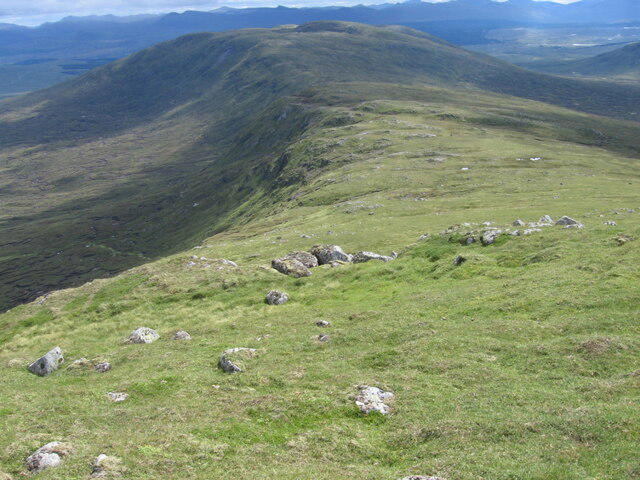 Photo could not load
NN4467 : Southern ridge of Sgòr Gaibhre
Chris Wimbush
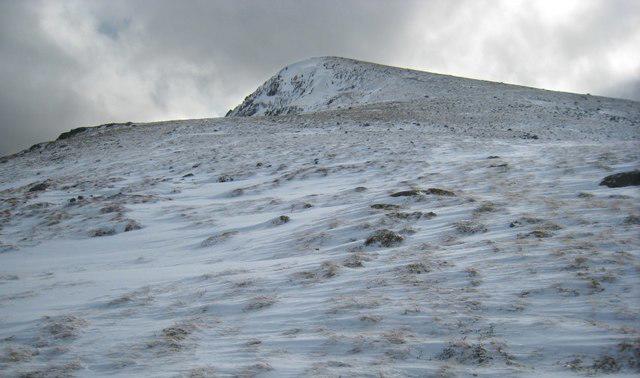 Photo could not load
NN4467 : Sgor Gaibhre
Hill Walker
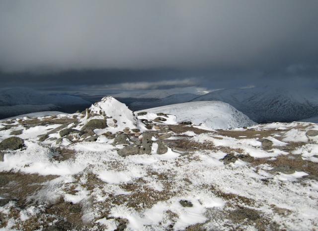 Photo could not load
NN4467 : Summit Cairn - Sgor Gaibhre
Hill Walker
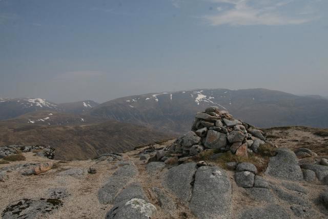 Photo could not load
NN4467 : Summit cairn - Sgor Gaibhre
Dan
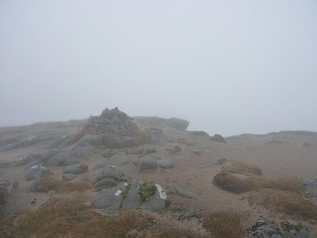 Photo could not load
NN4467 : Summit cairn, Sgòr Gaibhre
Richard Law
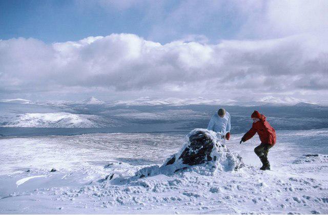 Photo could not load
NN4467 : Summit cairn on Sgòr Gaibhre
Russel Wills
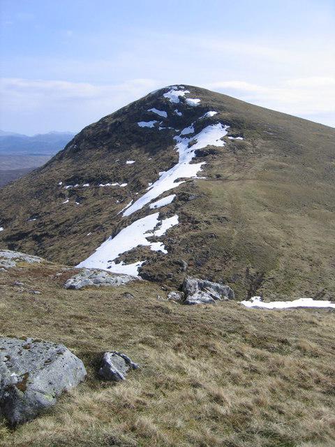 Photo could not load
NN4467 : Sgòr Gaibhre from the slopes of Sgòr Choinnich
Ali Ogden
Hill facts and local notes
Classifications
Elevation
955m
3,132 ft
Prominence
300m
Coordinates
56.7725, -4.5465
NN444674
OS Map
42
Explorer: 385E 385W
At the Summit
The summit features a prominent cairn marked with a trig point that stands as a testament to the many adventurers who have made the journey to the top. On a clear day, there is no shortage of Instagram-worthy photo opportunities!
Terrain & Geology
Sgor Gaibhre is primarily composed of schist and granite, contributing to its rugged beauty and unique landscape. The underlying geology dates back to the Caledonian Orogeny, giving hikers a glimpse into Earth's geological history.
Views & Scenery
From the summit, you'll be treated to panoramic views of the surrounding Ben Alder range, Loch Ericht, and even the distant peaks of the Cairngorms on clear days.
History & Heritage
Name Origin
The name Sgor Gaibhre translates roughly to 'peak of the goat', possibly referring to the mountain’s iconic wildlife or its rugged terrain.
Historical Significance
Sgor Gaibhre is often less frequented than its bigger neighbours, making it a perfect spot for those seeking a sense of isolation amidst Scotland's dramatic natural beauty.
Getting There & Facilities
Parking
Parking can be found at the end of the B846 road near the Eas Anie burn, providing handy access to the hiking start points.
Public Transport
The nearest bus stop is in the village of Dalwhinnie, around 6 miles away. It's best to check timetables as services can be sporadic.
Nearby Facilities
The nearest facilities are in Dalwhinnie, where you can find a cafe, a shop for supplies, and public toilets. Perfect for a pre-hike coffee!
Safety Information
Known Hazards
- Be aware of changing weather conditions, which can shift from sunny to snowy in a heartbeat. Also, watch your step on the rocky sections and beware of bracken in the summer months!
General Safety Tips
- Check weather conditions before setting out
- Carry appropriate clothing and equipment
- Let someone know your planned route
- Take a map, compass, and GPS device
- Carry emergency supplies: food, water, first aid kit, torch
Hills
Some common questions about the hills answered
Are there group walks up Sgor Gaibhre?
Many walkers use Walkmates to join or organise walks with others. You can check for group walks around Sgor Gaibhre through the maps
Are there other walkers around Sgor Gaibhre?
Activity varies by location and time, but Walkmates lets you see whether others have shared walks or shown interest in this area. Find other people through the walking friends search walking friends for Sgor Gaibhre search or of course create your own walk for Sgor Gaibhre
Can I organise a walk to Sgor Gaibhre?
Yes. If there aren’t any walks listed already, you can create a walk and make it available for others to join.
If you're signed up to Walkmates, you can create a walk to Sgor Gaibhre.
How do I find a walk up this hill?
There are often multiple ways to walk this hill, depending on experience and route preference. Walkmates helps you explore walks and routes that others have shared.
Can I suggest a new route up Sgor Gaibhre?
Yes. You can suggest or create routes to share with others. Walkmates focuses on the social side of walking, so routes are used to help people organise walks and explore areas together, rather than as detailed navigation tools or route libraries.
Other uses really appreciate knowledgeable walkers sharing their routes. Share your favourite route to Sgor Gaibhre here
The is an error or something incorrect about this hill. How do I let you know?
We always strive to keep the information on Walkmates as accurate as possible. If you find an error, please let us know through the contact form and we'll aim to correct it as quickly as possible
Community Discussion
Comments
Location
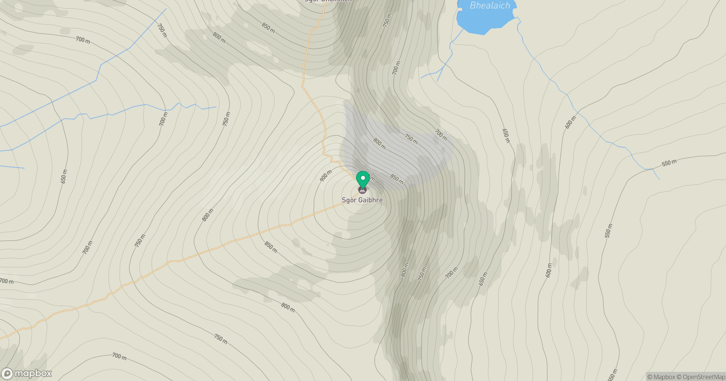
Grid reference: NN444674
View on OpenStreetMapOpens a map in a new tab, centred on the hill.
Nearby Hills
Ben Alder
1,148m
Creag Meagaidh
1,128m
Stob Ban
977m
Stob Choire Claurigh
1,177m
Beinn Dorain
1,076m
No comments yet. Be the first.