

Mynydd Pen-y-cae
Good walks are even better shared.
SN8803 : Boundary Post Without Top
Adrian Dust Photo source
Overview
Mynydd Pen-y-cae
Mynydd Pen-y-cae, towering at 486 meters, is one of the lovely Marilyns nestled in the stunning Brecon Beacons National Park. Whether you're a seasoned hiker or a weekend warrior, this hill offers a refreshing escape into nature, complete with all the wonders of Welsh scenery.
Geology
The rocky embrace of Mynydd Pen-y-cae consists mainly of sandstone and conglomerate, revealing the fascinating geological history of the area. Imagine what these rocks could tell you—if only they could speak.
Routes
The Cae Sgubor Route remains the most popular and well-marked route for adventurers looking to grab a bite of Mynydd Pen-y-cae. Spanning around 5.5 km, it takes approximately 2.5 hours to navigate, making it a moderate trek perfect for families and casual hikers. You might even cross paths with a sheep or two along the way!
Summit Features
When you reach the summit, you’ll be greeted by a sturdy cairn and the ever-reliable trig point, both excellent for group photos. Don't forget to take in the panoramic views—you'll want to remember this adventure.
Terrain
The terrain is a mix of grassy slopes and rocky outcrops, with just enough boggy patches to keep you on your toes. Wear sturdy boots to avoid any unplanned mud skating!
Views
From the top, take a moment to soak in the breathtaking sights of the Black Mountains to the east, and the town of Merthyr Tydfil peeking through the valleys. If you're lucky, you might even catch a sunrise or sunset that makes your heart sing!
Hazards
As beautiful as this landscape is, it has its quirks. Weather can shift from sunshine to downpour quicker than you can say 'Dai's your uncle'. Stay prepared and keep an eye on the trail to avoid any accidental adventures into the bog.
Nearby Summits
Consider extending your trip by exploring nearby summits such as Mynydd y Gwrhyd and Fan Fawr, each offering their own unique perspectives of the stunning Brecon Beacons.
Access
For those driving, park at the small lot near Cae Sgubor farm, ensuring you leave enough room for farm traffic. If you prefer to use public transport, regular buses provide a reliable route from Merthyr Tydfil. Local amenities are readily available in the town, making this a convenient adventure.
Facilities
After your hike, replenish your energy at a local café in Merthyr Tydfil—try the cider cake; it’s local and delightful!
History
The name Mynydd Pen-y-cae translates into something quite picturesque, essentially 'Hill at the Head of the Field.' A fitting name for this enchanting hill within the Brecon Beacons, a region steeped in folklore and stories waiting for you to discover.
So gear up, grab your boots, and set off to uncover the charms of Mynydd Pen-y-cae. Just remember: the only bad hike is the one you don't take!
Explore routes near Mynydd Pen-y-cae
Walks starting near this hill. Open a route to check its map, distance and full itinerary.
Aircraft Crash Site - Wellington Bomber and Vampire Jet (Black Mountain range)
View route
Swansea Canal: Coed Gwilym Park to Pontardawe Aqueduct
View route
Pen y Fan via Corn Du from Storey Arms
View route
Usk Reservoir: Glasfynydd Forest and Dam Circuit
View route
Route planning notes
These notes describe possible approaches. Check a route's map and access information when planning your walk.
Cae Sgubor Route
A well-marked path starting from the Cae Sgubor farm, leading you through enchanting woodland and open moorland. Ideal for a pleasant day out with the family.
Make a day of it, together
Find someone to share the walk with, or organise a day out along a route you like.
Photo Gallery
View all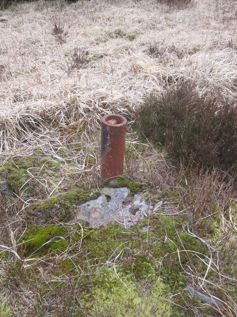 Photo could not load
SN8803 : Boundary Post Without Top
Adrian Dust
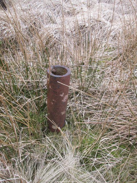 Photo could not load
SN8803 : Boundary Post Without Top
Adrian Dust
Hill facts and local notes
Classifications
Elevation
573m
1,880 ft
Prominence
20m
Coordinates
51.7168, -3.6117
SN887032
OS Map
170
Explorer: 166W
At the Summit
The summit is adorned with a modest cairn and offers a palatial view of the surrounding countryside. A trig point serves as a perfect backdrop for that Instagram shot!
Terrain & Geology
Mynydd Pen-y-cae is primarily composed of Sandstone and conglomerate formations, indicative of ancient river channels and floodplains. The sedimentary rocks provide a fascinating insight into the area's geological history.
Views & Scenery
From the summit, you can spot the peaks of the Black Mountains to the east and even catch a glimpse of the historic town of Merthyr Tydfil nestled in the valleys below.
History & Heritage
Name Origin
Mynydd Pen-y-cae translates roughly to 'Hill at the Head of the Field', which paints a lovely picture of the pastoral landscape you’ll encounter.
Historical Significance
Locally, Mynydd Pen-y-cae is often referred to as a hidden gem for hikers and has historical significance as it is part of the ancient landscape of the Brecon Beacons with stories tied to local folklore.
Getting There & Facilities
Parking
There is a small car park near Cae Sgubor farm where you can securely leave your vehicle. Please park considerately, and don’t block access to farm vehicles!
Public Transport
The nearest bus service is available from Merthyr Tydfil, providing convenient access to the footpaths leading up to Mynydd Pen-y-cae.
Nearby Facilities
Nearby facilities include a small café in Merthyr Tydfil, offering some delicious cider cakes and coffee to fuel your walk. There’s also public toilet access in town.
Safety Information
Known Hazards
- Watch out for sudden changes in weather, as the Brecon Beacons can be a bit temperamental. Also, be cautious of loose stones on rocky paths and ensure you stay on marked trails to avoid getting lost.
General Safety Tips
- Check weather conditions before setting out
- Carry appropriate clothing and equipment
- Let someone know your planned route
- Take a map, compass, and GPS device
- Carry emergency supplies: food, water, first aid kit, torch
Hills
Some common questions about the hills answered
Are there group walks up Mynydd Pen-y-cae?
Many walkers use Walkmates to join or organise walks with others. You can check for group walks around Mynydd Pen-y-cae through the maps
Are there other walkers around Mynydd Pen-y-cae?
Activity varies by location and time, but Walkmates lets you see whether others have shared walks or shown interest in this area. Find other people through the walking friends search walking friends for Mynydd Pen-y-cae search or of course create your own walk for Mynydd Pen-y-cae
Can I organise a walk to Mynydd Pen-y-cae?
Yes. If there aren’t any walks listed already, you can create a walk and make it available for others to join.
If you're signed up to Walkmates, you can create a walk to Mynydd Pen-y-cae.
How do I find a walk up this hill?
There are often multiple ways to walk this hill, depending on experience and route preference. Walkmates helps you explore walks and routes that others have shared.
Can I suggest a new route up Mynydd Pen-y-cae?
Yes. You can suggest or create routes to share with others. Walkmates focuses on the social side of walking, so routes are used to help people organise walks and explore areas together, rather than as detailed navigation tools or route libraries.
Other uses really appreciate knowledgeable walkers sharing their routes. Share your favourite route to Mynydd Pen-y-cae here
The is an error or something incorrect about this hill. How do I let you know?
We always strive to keep the information on Walkmates as accurate as possible. If you find an error, please let us know through the contact form and we'll aim to correct it as quickly as possible
Community Discussion
Comments
Location
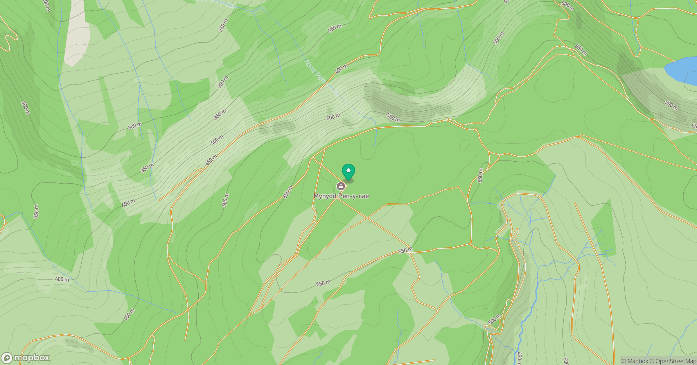
Grid reference: SN887032
View on OpenStreetMapOpens a map in a new tab, centred on the hill.


No comments yet. Be the first.