

Meal Fell
Good walks are even better shared.
NY2833 : On Meal Fell
Michael Graham Photo source
Explore routes near Meal Fell
Walks starting near this hill. Open a route to check its map, distance and full itinerary.
Brae Fell from Longlands Wainwright
View route
Mungrisdale Common and Bowscale Fell from Mosedale Valley Wainwright
View route
Binsey from Binsey Lodge Direct Out and Back Wainwright
View route
Bannerdale Crags from Mungrisdale Wainwright
View route
Route planning notes
These notes describe possible approaches. Check a route's map and access information when planning your walk.
Newlands Pass Route
A scenic route starting from the Newlands Pass that winds through rolling hills and offers splendid views of the surrounding fells.
Watendlath Route
Beginning at the picturesque Watendlath, this route takes hikers on a slightly steeper ascent but rewards with stunning vistas.
Make a day of it, together
Find someone to share the walk with, or organise a day out along a route you like.
Photo Gallery
View all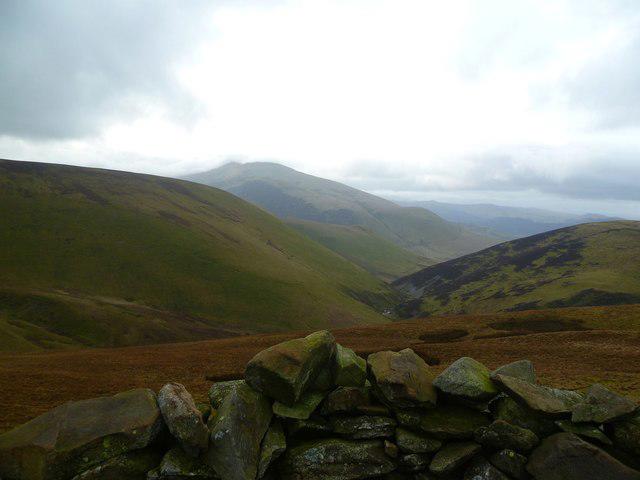 Photo could not load
NY2833 : On Meal Fell
Michael Graham
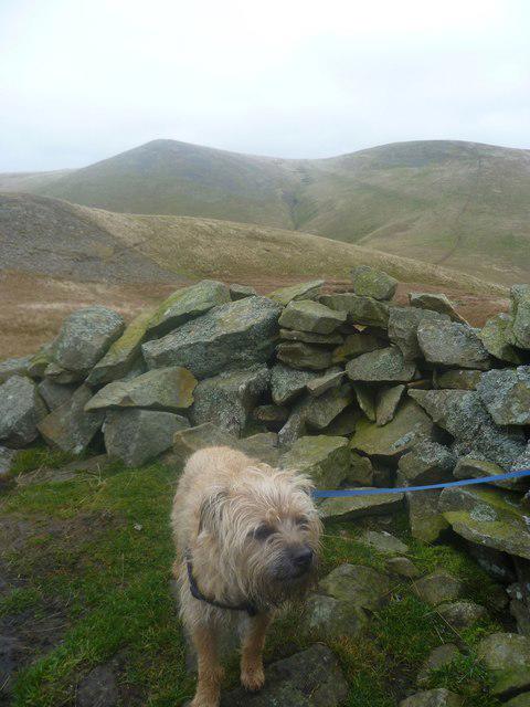 Photo could not load
NY2833 : On Meal Fell
Michael Graham
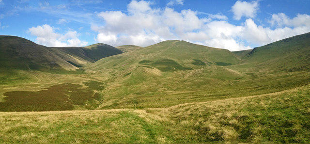 Photo could not load
NY2833 : Panorama from Lower Slopes of Great Cock Up
Robert Matin
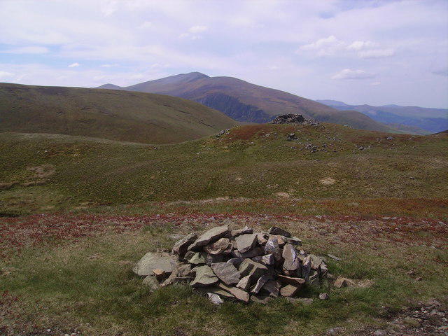 Photo could not load
NY2833 : Cairn and Widshelter Meal Fell
Michael Graham
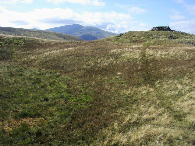 Photo could not load
NY2833 : Meal Fell
Shaun Ferguson
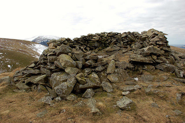 Photo could not load
NY2833 : Summit shelter, Meal Fell
Jim Barton
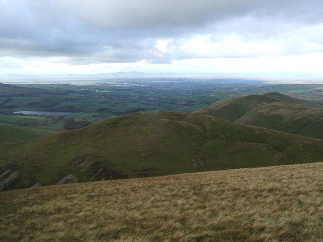 Photo could not load
NY2833 : Meal Fell from Frozen Fell
David Brown
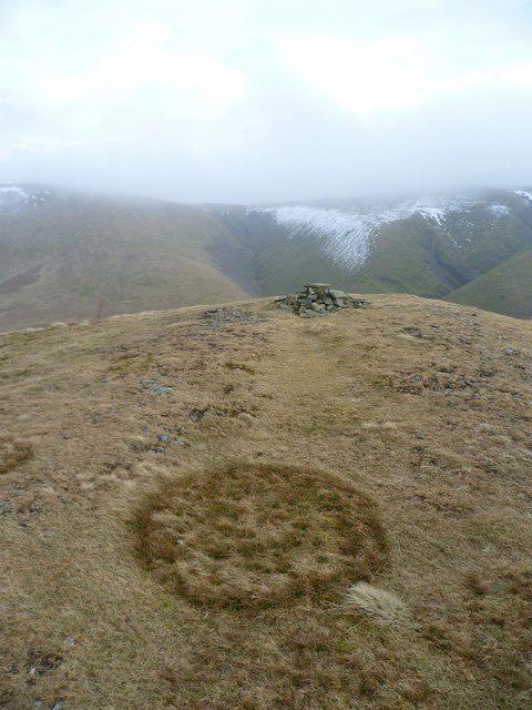 Photo could not load
NY2833 : Meal Fell Summit
Michael Graham
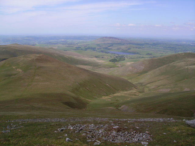 Photo could not load
NY2833 : Meal Fell
Michael Graham
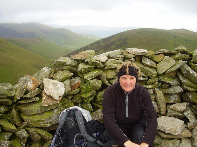
NY2833 : A rest on Meal fell
steven ruffles
Hill facts and local notes
Classifications
Elevation
549m
1,802 ft
Prominence
29m
Coordinates
54.6938, -3.1139
NY283337
OS Map
89 90
Explorer: OL4N
At the Summit
The summit features a small rocky outcrop with a cairn marking the top. Occasional sheep might be seen looking out over their kingdom!
Terrain & Geology
Meal Fell is primarily composed of volcanic rock and ash from past geological activity. The layered formations provide insight into the ancient volcanic processes that shaped the region thousands of years ago.
Views & Scenery
Panoramic views of Skiddaw, Blencathra, and the Helvellyn range. On a clear day, it's possible to see all the way to the Solway Firth.
History & Heritage
Name Origin
The name 'Meal' is derived from the Old Norse word for 'hill' or 'mountain', indicating its height and prominence in the landscape.
Historical Significance
The fell is part of the scenic Lake District, a UNESCO World Heritage Site, and has historical significance as a destination for hiking enthusiasts and nature lovers.
Getting There & Facilities
Parking
Parking is available at Newlands Pass car park, where there are a limited number of spaces. Arrive early during peak seasons to secure a spot!
Public Transport
Buses run from Keswick to Newlands and Watendlath. The nearest stop is at Newlands Pass.
Nearby Facilities
While there are no facilities on Meal Fell itself, Keswick is well-equipped with cafes, shops, and public toilets.
Safety Information
Known Hazards
- Be wary of sudden weather changes common in the Lake District. Low visibility can occur quickly, so keep an eye on the conditions.
General Safety Tips
- Check weather conditions before setting out
- Carry appropriate clothing and equipment
- Let someone know your planned route
- Take a map, compass, and GPS device
- Carry emergency supplies: food, water, first aid kit, torch
Hills
Some common questions about the hills answered
Are there group walks up Meal Fell?
Many walkers use Walkmates to join or organise walks with others. You can check for group walks around Meal Fell through the maps
Are there other walkers around Meal Fell?
Activity varies by location and time, but Walkmates lets you see whether others have shared walks or shown interest in this area. Find other people through the walking friends search walking friends for Meal Fell search or of course create your own walk for Meal Fell
Can I organise a walk to Meal Fell?
Yes. If there aren’t any walks listed already, you can create a walk and make it available for others to join.
If you're signed up to Walkmates, you can create a walk to Meal Fell.
How do I find a walk up this hill?
There are often multiple ways to walk this hill, depending on experience and route preference. Walkmates helps you explore walks and routes that others have shared.
Can I suggest a new route up Meal Fell?
Yes. You can suggest or create routes to share with others. Walkmates focuses on the social side of walking, so routes are used to help people organise walks and explore areas together, rather than as detailed navigation tools or route libraries.
Other uses really appreciate knowledgeable walkers sharing their routes. Share your favourite route to Meal Fell here
The is an error or something incorrect about this hill. How do I let you know?
We always strive to keep the information on Walkmates as accurate as possible. If you find an error, please let us know through the contact form and we'll aim to correct it as quickly as possible
Community Discussion
Comments
Location
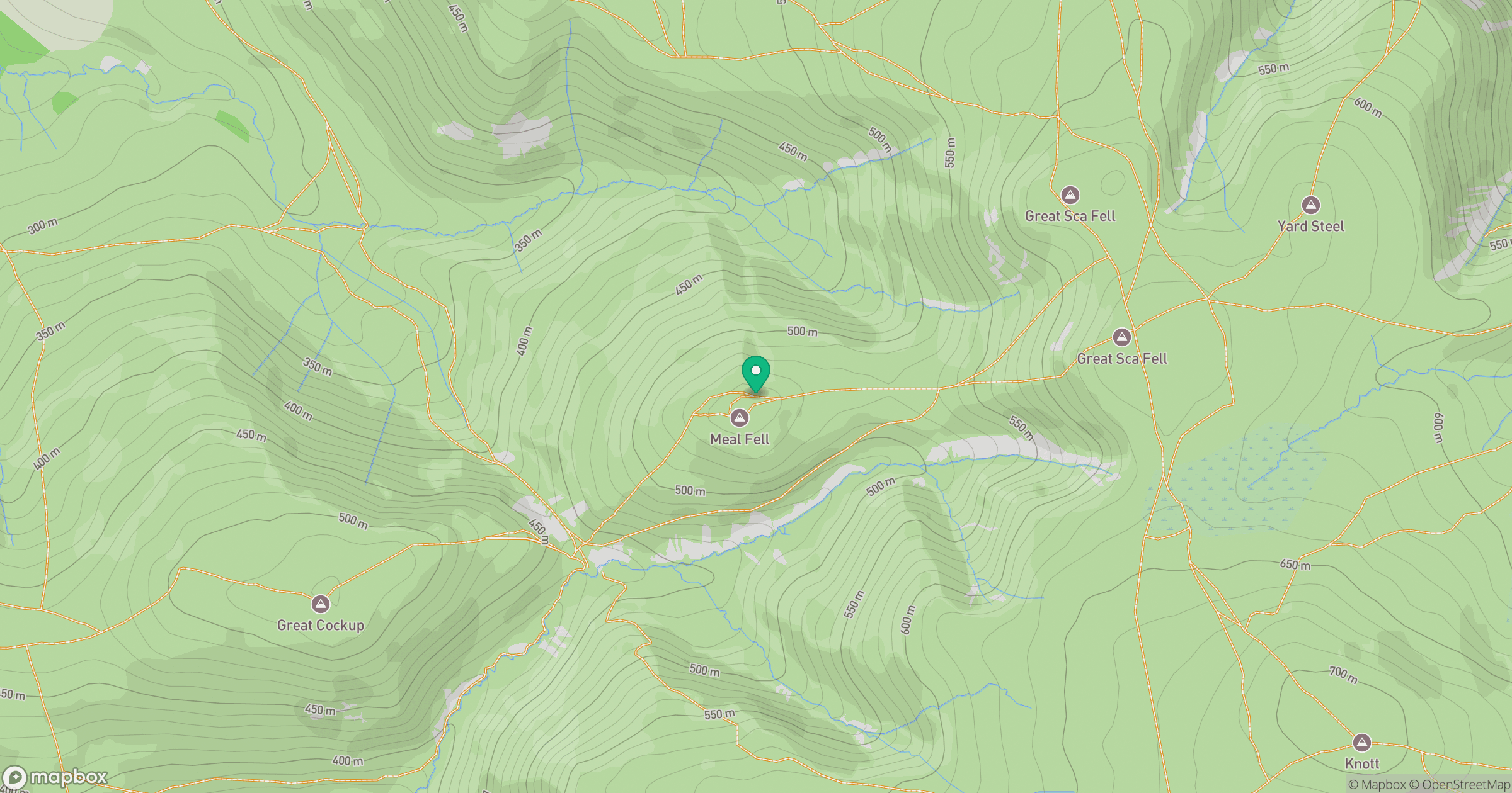
Grid reference: NY283337
View on OpenStreetMapOpens a map in a new tab, centred on the hill.
Nearby Hills
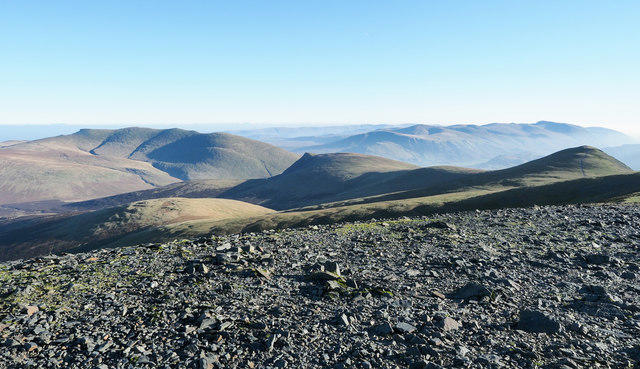
Skiddaw
930m

Blencathra - Hallsfell Top
868m
Grisedale Pike
790m
Crag Hill [Eel Crag]
839m

Helvellyn
950m
No comments yet. Be the first.