

Dundonald Castle
Good walks are even better shared.
NS3634 : Dundonald Castle
Billy McCrorie Photo source
Overview
Dundonald Castle: A Jewel of Ayrshire
Nestled in the picturesque village of Dundonald, this castle ruin offers a delightful blend of history, scenic views, and a gentle hike, appealing to families and history buffs alike.
Geology
Dundonald Castle is set against a backdrop of sedimentary rocks well-known in the Ayrshire coastal landscape. The gentle cliffs and grassy fields provide a stunning natural environment, perfect for a leisurely stroll or a bit of history hunting.
Access
Getting to Dundonald Castle is easy peasy! The nearest parking facilities can be found in the village of Dundonald, where you can park along Main Street. If you're feeling less inclined to drive, regular bus services from Ayr and Irvine make it a breeze to pop on over. The village itself is just a stone’s throw away from the castle, so you'll be on your feet in no time.
The Route
The walk to the castle, dubbed the "Castle Walk", stretches about 1.5 km and is classified as easy. It's perfect for little legs or those who still think of themselves as nimble of foot. Just a quick half-hour will have you striding through the charming village and into the castle grounds.
Summit Features
Upon arrival, you’ll be greeted by the impressive remains of the castle walls, which tell tales of yore. It's hard not to imagine knights and kings strolling these very grounds!
Views
The vistas from the castle are nothing short of spectacular. On a clear day, the Firth of Clyde beckons, with the iconic Isle of Arran waving at you from a distance. Trust me when I say, bring your camera—the Instagram likes will come pouring in!
Facilities
Once the exploration dust has settled, you can wander back to Dundonald village, where several cafes await to lift your spirits with a cup of tea or a quick bite. Public toilets are also readily available, ensuring your trip remains hassle-free.
History
Dundonald Castle carries a rich history. The name itself, 'Dun Dhomhnaill', or 'Donald’s Fort', holds significance as a royal bastion of the days gone by. Built in the late 12th century, this castle served as a stronghold for the kings of Scotland. The historical significance of this site cannot be overstated, particularly concerning its ties with the legendary King Robert the Bruce.
In conclusion, if you have a penchant for history mixed with a dash of nature, Dundonald Castle is the place to be. So lace up those hiking boots and don’t forget that snack—your adventure awaits!
Happy hiking!
Explore routes near Dundonald Castle
Walks starting near this hill. Open a route to check its map, distance and full itinerary.
Goatfell from Cladach
View route
Carrick Forest Drive: Stinchar Bridge to Loch Doon
View route
Motherwell: Strathclyde Loch full shoreline circuit
View route
West Bay walk and talk
View route
Route planning notes
These notes describe possible approaches. Check a route's map and access information when planning your walk.
Castle Walk
A gentle walk from the nearby village of Dundonald leading directly to the castle grounds.
Make a day of it, together
Find someone to share the walk with, or organise a day out along a route you like.
Photo Gallery
View all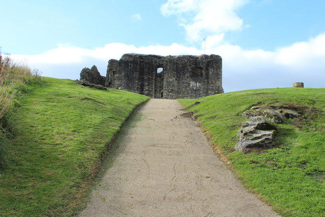 Photo could not load
NS3634 : Dundonald Castle
Billy McCrorie
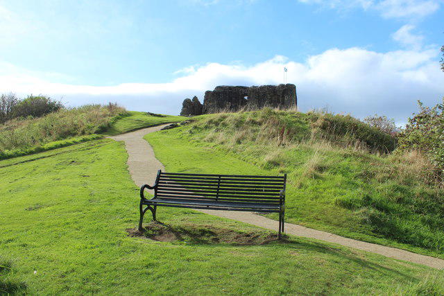 Photo could not load
NS3634 : Dundonald Castle
Billy McCrorie
 Photo could not load
NS3634 : Dundonald Castle
Billy McCrorie
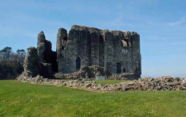 Photo could not load
NS3634 : Dundonald Castle
Mary and Angus Hogg
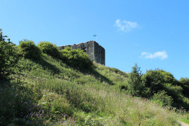 Photo could not load
NS3634 : Dundonald Castle
Billy McCrorie
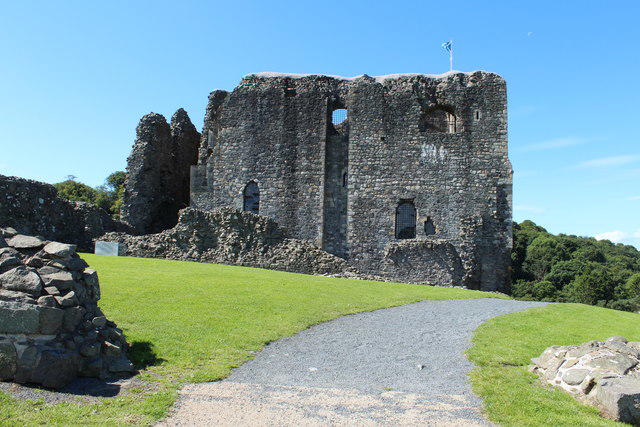 Photo could not load
NS3634 : Dundonald Castle
Billy McCrorie
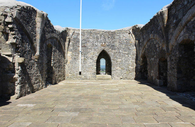 Photo could not load
NS3634 : The Great Hall, Dundonald Castle
Billy McCrorie
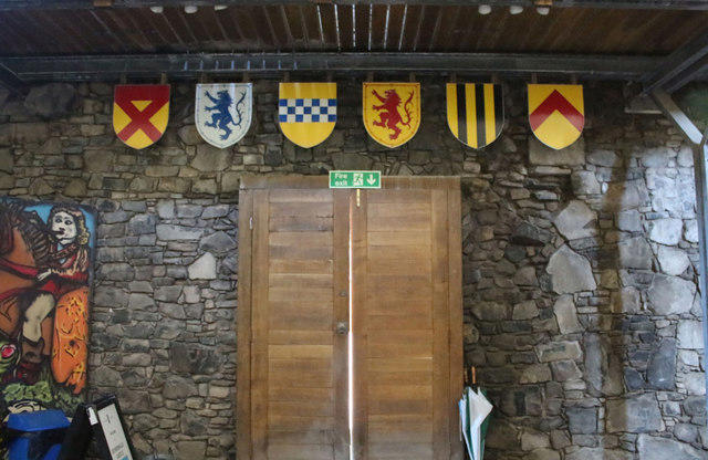 Photo could not load
NS3634 : Ground Floor Dundonald Castle
Billy McCrorie
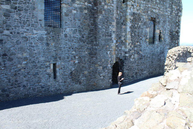 Photo could not load
NS3634 : Entrance to Dundonald Castle
Billy McCrorie
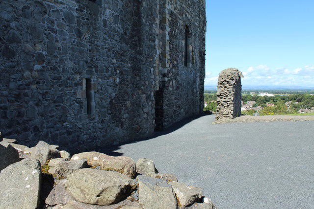
NS3634 : Dundonald Castle
Billy McCrorie
Hill facts and local notes
Classifications
Elevation
57m
187 ft
Prominence
22m
Coordinates
55.5768, -4.5968
NS363345
OS Map
70
Explorer: 333
At the Summit
The remains of the castle walls soaring impressively amidst the surrounding landscape, with a commanding view over the fields and coast.
Terrain & Geology
The area is primarily composed of sedimentary rocks typical of the Ayrshire coastal region with gentle cliffs overlooking the Firth of Clyde.
Views & Scenery
On a clear day, you can enjoy breathtaking views over the Firth of Clyde with the Isle of Arran in the distance.
History & Heritage
Name Origin
The name 'Dundonald' derives from the Gaelic 'Dun Dhomhnaill', meaning 'Donald’s Fort'.
Historical Significance
Dundonald Castle dates back to the late 12th century and was a royal stronghold, significant for its strategic location and historical ties to King Robert the Bruce.
Getting There & Facilities
Parking
The nearest parking is available in Dundonald village, with spaces on Main Street.
Public Transport
Regular bus services run to Dundonald from Ayr and Irvine.
Nearby Facilities
There are various cafes and public toilets in Dundonald village.
Safety Information
Known Hazards
- Watch for uneven ground and slippery grass, especially after rain.
General Safety Tips
- Check weather conditions before setting out
- Carry appropriate clothing and equipment
- Let someone know your planned route
- Take a map, compass, and GPS device
- Carry emergency supplies: food, water, first aid kit, torch
Hills
Some common questions about the hills answered
Are there group walks up Dundonald Castle?
Many walkers use Walkmates to join or organise walks with others. You can check for group walks around Dundonald Castle through the maps
Are there other walkers around Dundonald Castle?
Activity varies by location and time, but Walkmates lets you see whether others have shared walks or shown interest in this area. Find other people through the walking friends search walking friends for Dundonald Castle search or of course create your own walk for Dundonald Castle
Can I organise a walk to Dundonald Castle?
Yes. If there aren’t any walks listed already, you can create a walk and make it available for others to join.
If you're signed up to Walkmates, you can create a walk to Dundonald Castle.
How do I find a walk up this hill?
There are often multiple ways to walk this hill, depending on experience and route preference. Walkmates helps you explore walks and routes that others have shared.
Can I suggest a new route up Dundonald Castle?
Yes. You can suggest or create routes to share with others. Walkmates focuses on the social side of walking, so routes are used to help people organise walks and explore areas together, rather than as detailed navigation tools or route libraries.
Other uses really appreciate knowledgeable walkers sharing their routes. Share your favourite route to Dundonald Castle here
The is an error or something incorrect about this hill. How do I let you know?
We always strive to keep the information on Walkmates as accurate as possible. If you find an error, please let us know through the contact form and we'll aim to correct it as quickly as possible
Community Discussion
Comments
Location
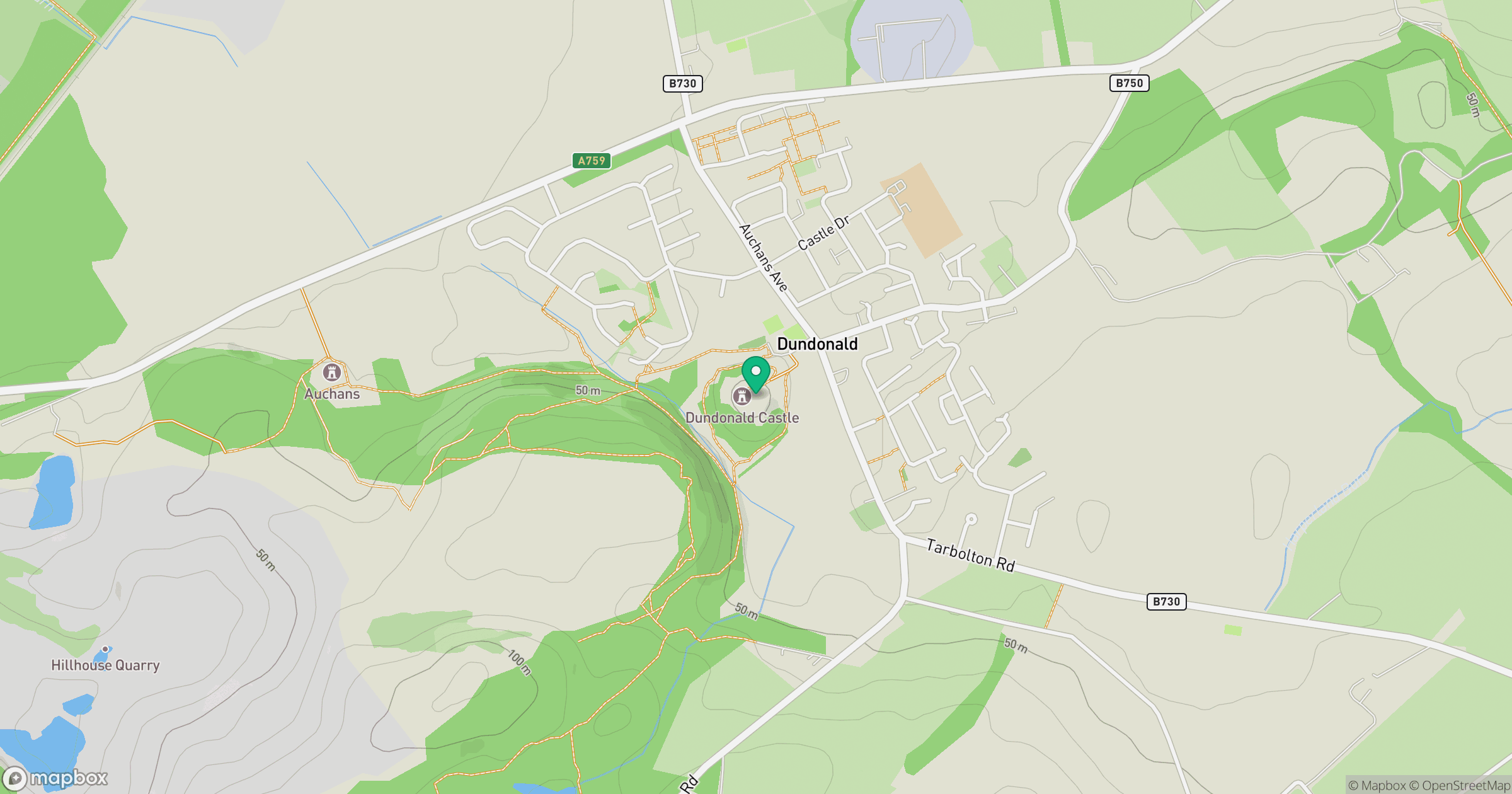
Grid reference: NS363345
View on OpenStreetMapOpens a map in a new tab, centred on the hill.
Nearby Hills
Merrick
843m
Cairnsmore of Carsphairn
797m
Goatfell [Goat Fell]
875m
Ailsa Craig
339m
Ben Lomond
974m
No comments yet. Be the first.