

Corbie Knowe
Good walks are even better shared.
NT8130 : Corbie Knowe
Richard Webb Photo source
Overview
Corbie Knowe: A Hiker's Delight
Located in the beautiful Scottish Borders, Corbie Knowe is a Marilyn that offers a delightful hiking experience for all levels—perfect for those who take their walking shoes seriously, yet love an easy stroll!
Geology
Corbie Knowe primarily showcases sandstone formations interbedded with mudstones, making it an interesting geological site. The layered formations are a textbook example of the region's ancient environments shaped by various natural processes.
Routes
The most popular route, the Cheviot Road Approach, spans approximately 5.2 km. It's a moderate walk, typically taking around 2.5 hours to complete. You’ll wind through some pleasant scenery before making the ascent. Don't forget to stop and catch your breath—or pretend that you’re considering an existential question about life while really just trying to avoid the next steep incline.
Summit Features
At the summit, you'll find a quaint stone cairn. It's modest but serves as a wonderful marker of your achievement. There’s nothing quite like shouting, 'I did it!' into the wind and hoping the mountain shouts back!
Terrain Type
The terrain is a mix of grassy patches and rocky outcrops, providing an enjoyable challenge without being overwhelmingly technical. The soft earth might threaten to welcome your boots to a muddy embrace if you’re not careful!
Views
From the summit, spectacular views await. Bask in the panorama that includes the Cheviot Hills and—if you're lucky—a view of the North Sea glimmering in the distance, adding a touch of magic to your day. The best times to enjoy these vistas are in late spring and early autumn, just before the chaos of summer hikes or the icy chill that comes with winter.
Hazards
Watch out for boggy patches; they can sneak up on you! Hiking is fun until you’re knee-deep in muck—your shoes will surely never forgive you.
Nearby Summits
Consider tacking on a few more miles to your adventure by visiting the nearby Scald Law (225 m) or Humbie Law (200 m). Why not grab a few more selfies while you're at it?
Access
To get to Corbie Knowe, park at the Cheviot Road car park where you'll find reasonable space—but do arrive early if you can! For those relying on public transport, buses do roll into Innerleithen. From there, it’s a lovely little trek to the trailhead, just don’t forget to pack a snack along with your enthusiasm. Innerleithen is well-equipped with cafes and shops, just in case you need to refuel.
History
As for the name, 'Corbie' comes from the Scots word for raven, so watch for the locals! This area also has deep-rooted cultural significance, with the Cheviots serving as notable landmarks for navigation and ancient pastoral traditions throughout history.
So, whether you're after the views, a bit of exercise, or a chance to commune with nature (and perhaps the resident ravens), Corbie Knowe is waiting—just make sure you're prepared and in good spirits. Happy hiking!
Explore routes near Corbie Knowe
Walks starting near this hill. Open a route to check its map, distance and full itinerary.
Kirk Yetholm to the Border Gate: St Cuthbert’s Way return
View route
Kirk Yetholm to Burnhead footbridge: Halter Burn valley return
View route
Morebattle to Kirk Yetholm: St Cuthbert's Way over Wideopen Hill
View route
Hethpool RAF100: Madam Law, The Curr and Black Sike aircraft walk
View route
Route planning notes
These notes describe possible approaches. Check a route's map and access information when planning your walk.
Cheviot Road Approach
Starting from the Cheviot Road, this route offers a straightforward and scenic hike that winds through lush landscapes before ascending to the summit.
Make a day of it, together
Find someone to share the walk with, or organise a day out along a route you like.
Photo Gallery
View all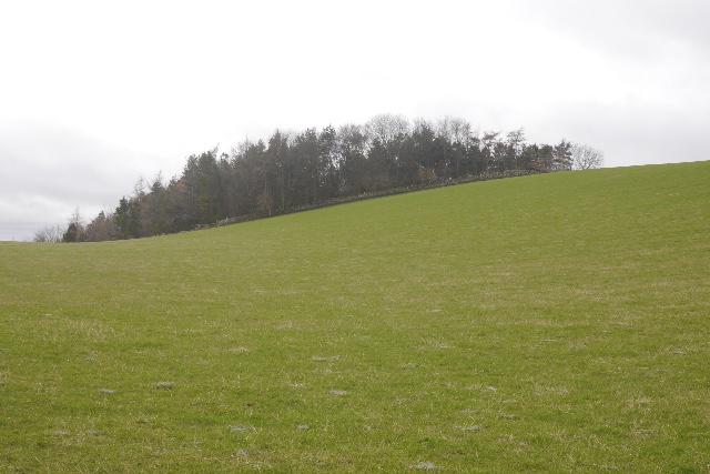 Photo could not load
NT8130 : Corbie Knowe
Richard Webb
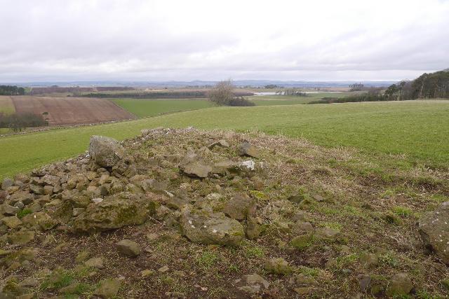 Photo could not load
NT8130 : Clearance cairn, Corbie Knowe
Richard Webb
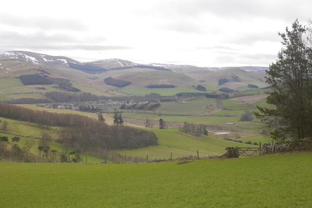 Photo could not load
NT8130 : Town Yetholm seen from Corbie Knowe
Richard Webb
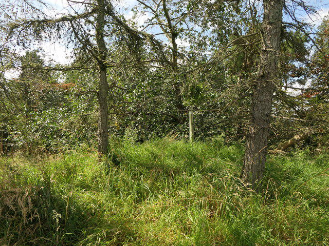 Photo could not load
NT8130 : Summit, Corbie Knowe
Richard Webb
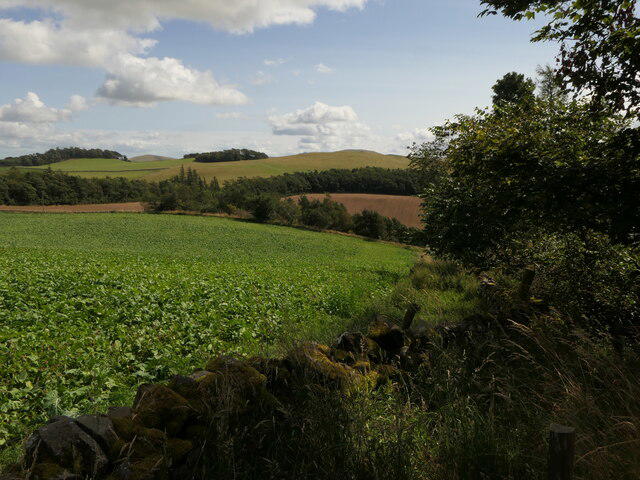 Photo could not load
NT8130 : Turnips, Corbie Knowe
Richard Webb
Hill facts and local notes
Classifications
Elevation
240m
787 ft
Prominence
31m
Coordinates
55.5639, -2.3008
NT811300
OS Map
74
Explorer: 339E
At the Summit
The summit is adorned with a small stone cairn, which although modest, evokes a sense of achievement for many a weary hiker. It’s a perfect spot for a summit selfie, or as some might say, 'I climbed a hill!'
Terrain & Geology
Primarily composed of sandstone with interbedded mudstones, Corbie Knowe showcases the geological history of the region through its layered formations. The erosion patterns—thanks to Mother Nature's artistry—reveal intriguing features that tell tales of ancient environments.
Views & Scenery
From the summit, hikers are treated to stunning views of the surrounding Cheviot Hills, the rolling foothills, and on a clear day, you might catch a glimpse of the North Sea shimmering on the horizon.
History & Heritage
Name Origin
The name 'Corbie' is derived from the Scots word for raven,/hence, this area might have been a hotspot for those feathered friends.
Historical Significance
Historically, the Cheviots have been significant landmarks for both navigation and local cultural heritage, often linked to ancient pastoral traditions.
Getting There & Facilities
Parking
Parking is available at the Cheviot Road car park, which can accommodate several vehicles but fills up during sunny weekends—get there early!
Public Transport
Buses run to the nearby town of Innerleithen, from where it is a pleasant walk to the trailhead.
Nearby Facilities
Innerleithen offers various facilities, including cafes, small shops, and public toilets, perfect for a post-hike snack or to use that 'nature calling' excuse.
Safety Information
Known Hazards
- Some areas may be boggy, especially after heavy rain, so walker be warned—you might want to leave those fancy shoes at home.
General Safety Tips
- Check weather conditions before setting out
- Carry appropriate clothing and equipment
- Let someone know your planned route
- Take a map, compass, and GPS device
- Carry emergency supplies: food, water, first aid kit, torch
Hills
Some common questions about the hills answered
Are there group walks up Corbie Knowe?
Many walkers use Walkmates to join or organise walks with others. You can check for group walks around Corbie Knowe through the maps
Are there other walkers around Corbie Knowe?
Activity varies by location and time, but Walkmates lets you see whether others have shared walks or shown interest in this area. Find other people through the walking friends search walking friends for Corbie Knowe search or of course create your own walk for Corbie Knowe
Can I organise a walk to Corbie Knowe?
Yes. If there aren’t any walks listed already, you can create a walk and make it available for others to join.
If you're signed up to Walkmates, you can create a walk to Corbie Knowe.
How do I find a walk up this hill?
There are often multiple ways to walk this hill, depending on experience and route preference. Walkmates helps you explore walks and routes that others have shared.
Can I suggest a new route up Corbie Knowe?
Yes. You can suggest or create routes to share with others. Walkmates focuses on the social side of walking, so routes are used to help people organise walks and explore areas together, rather than as detailed navigation tools or route libraries.
Other uses really appreciate knowledgeable walkers sharing their routes. Share your favourite route to Corbie Knowe here
The is an error or something incorrect about this hill. How do I let you know?
We always strive to keep the information on Walkmates as accurate as possible. If you find an error, please let us know through the contact form and we'll aim to correct it as quickly as possible
Community Discussion
Comments
Location
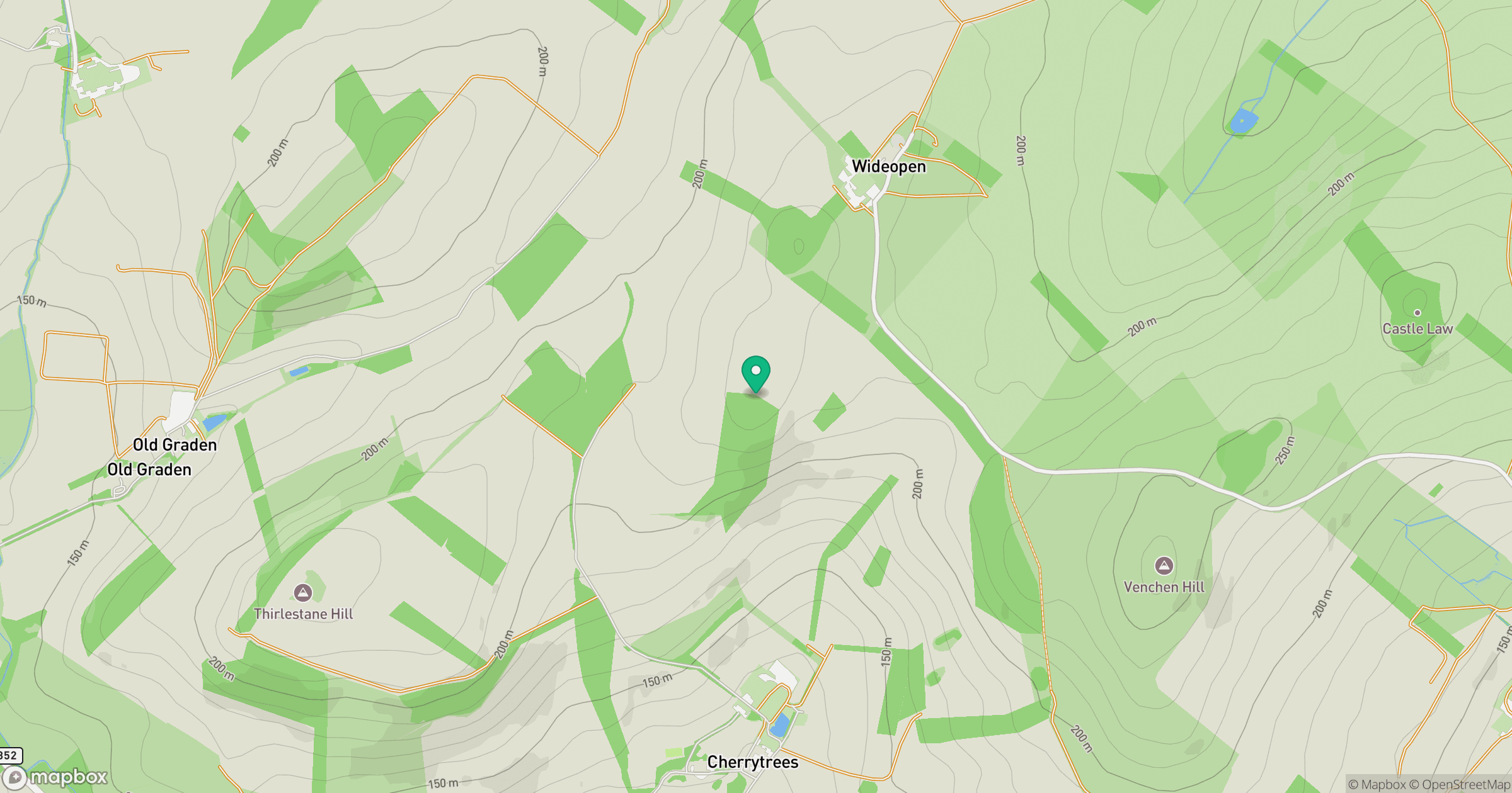
Grid reference: NT811300
View on OpenStreetMapOpens a map in a new tab, centred on the hill.





No comments yet. Be the first.