

Biod an Athair
Good walks are even better shared.
NG1655 : View toward Coral Beach from Dunvegan Head Trig Point
thejackrustles Photo source
Explore routes near Biod an Athair
Walks starting near this hill. Open a route to check its map, distance and full itinerary.
Berneray Community Hall to the beautiful beach
View route
Dun Mhulan Broch Quick Walk
View route
Beautiful private beach walk Isle of Harris
View route
Fairy Lochs Liberator Wreckage Circuit
View route
Route planning notes
These notes describe possible approaches. Check a route's map and access information when planning your walk.
Biod an Athair from Glen Brittle
A well-trodden path starting from Glen Brittle car park, leading up to the stunning summit of Biod an Athair through diverse terrains, including rocky slopes and grassy knolls.
Make a day of it, together
Find someone to share the walk with, or organise a day out along a route you like.
Photo Gallery
View all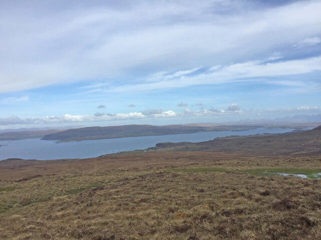 Photo could not load
NG1655 : View toward Coral Beach from Dunvegan Head Trig Point
thejackrustles
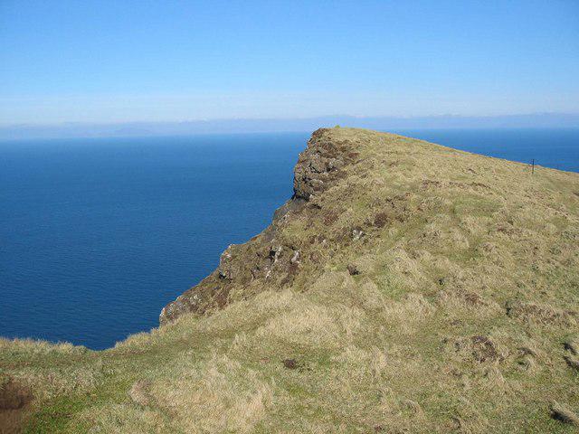 Photo could not load
NG1555 : Clifftop North of Biod an Athair
John Allan
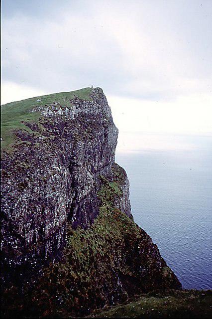 Photo could not load
NG1555 : Biod an Athair
Richard Webb
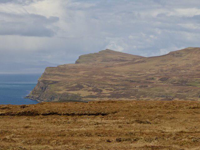 Photo could not load
NG1554 : Biod an Athair
Richard Webb
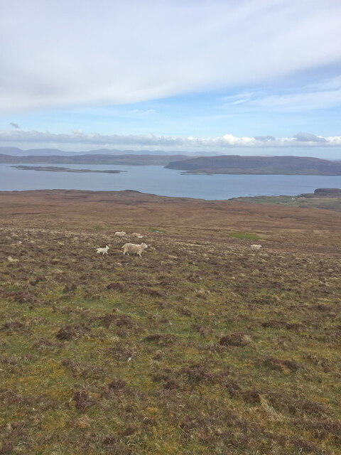 Photo could not load
NG1555 : Sheep and Lambs near Dunvegan Head Trig Point
thejackrustles
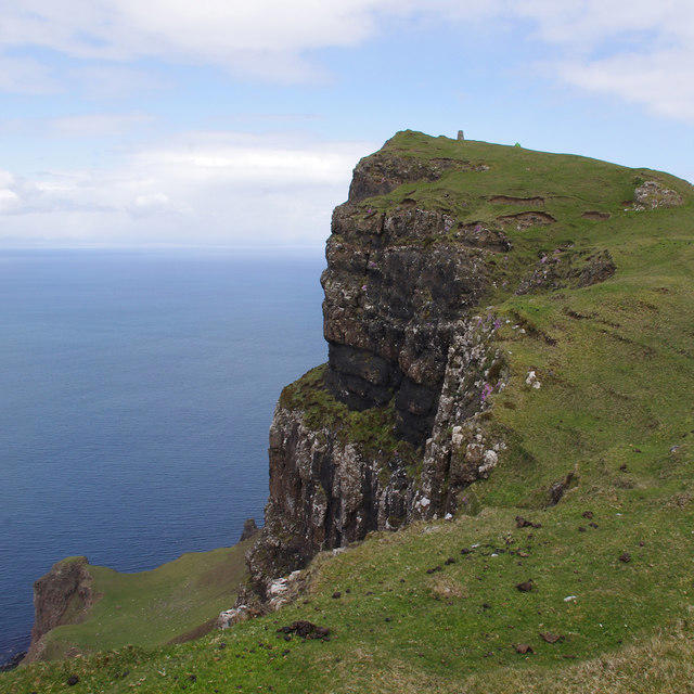 Photo could not load
NG1554 : Biod an Athair
Ian Taylor
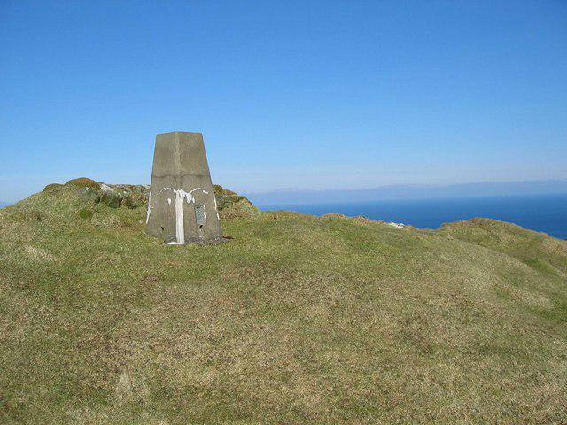 Photo could not load
NG1554 : Biod an Athair
John Allan
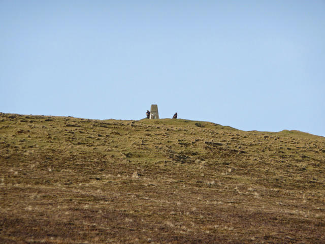 Photo could not load
NG1554 : Eagles on Biod an Athair
John Allan
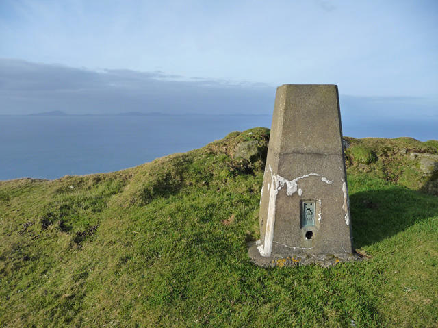 Photo could not load
NG1554 : Biod an Athair trig point
John Allan
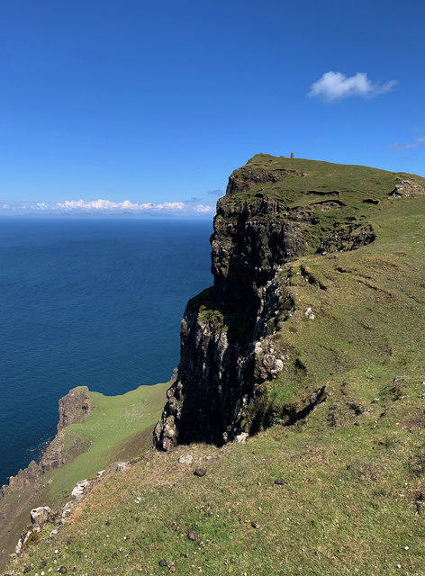
NG1554 : Biod an Athair from the south
John Allan
Hill facts and local notes
Classifications
Elevation
314m
1,030 ft
Prominence
178m
Coordinates
57.4953, -6.7449
NG158549
OS Map
23
Explorer: 407
At the Summit
The summit features a large stone cairn which is a popular photo spot. On a clear day, you might even spot some snow-capped peaks in the distance and wonder what you're missing out on if you didn't bring snacks!
Terrain & Geology
Biod an Athair is primarily composed of ancient Lewisian gneiss, which is some of the oldest rock found in the UK. This rugged geology has been shaped by glacial activity, leaving behind distinctive features that make hiking here an enchanting experience.
Views & Scenery
Stunning views over the Isle of Skye, the Cuillin Ridge, and the surrounding landscapes of the Hebrides.
History & Heritage
Name Origin
The name 'Biod an Athair' translates to 'The Father’s Peak', suggesting a sense of reverence in its registration; imagine a mountain giving fatherly advice!
Historical Significance
This mountain holds cultural importance in local legends, often cited in tales of ancient clans and their encounters with nature.
Getting There & Facilities
Parking
Glen Brittle Car Park - a convenient parking spot just a stone's throw away from the start of the trail.
Public Transport
Buses run from Portree to Glen Brittle, making it accessible without a personal car (if you’re not too fussy about the schedule!).
Nearby Facilities
There are toilets at Glen Brittle car park, but for a cuppa and a nibble, Portree is your best bet for some homemade cake.
Safety Information
Known Hazards
- Slim chances of encountering ankle-twisting rocks, sudden weather changes, and the occasional grouchy sheep that doesn't seem to appreciate your presence!
General Safety Tips
- Check weather conditions before setting out
- Carry appropriate clothing and equipment
- Let someone know your planned route
- Take a map, compass, and GPS device
- Carry emergency supplies: food, water, first aid kit, torch
Hills
Some common questions about the hills answered
Are there group walks up Biod an Athair?
Many walkers use Walkmates to join or organise walks with others. You can check for group walks around Biod an Athair through the maps
Are there other walkers around Biod an Athair?
Activity varies by location and time, but Walkmates lets you see whether others have shared walks or shown interest in this area. Find other people through the walking friends search walking friends for Biod an Athair search or of course create your own walk for Biod an Athair
Can I organise a walk to Biod an Athair?
Yes. If there aren’t any walks listed already, you can create a walk and make it available for others to join.
If you're signed up to Walkmates, you can create a walk to Biod an Athair.
How do I find a walk up this hill?
There are often multiple ways to walk this hill, depending on experience and route preference. Walkmates helps you explore walks and routes that others have shared.
Can I suggest a new route up Biod an Athair?
Yes. You can suggest or create routes to share with others. Walkmates focuses on the social side of walking, so routes are used to help people organise walks and explore areas together, rather than as detailed navigation tools or route libraries.
Other uses really appreciate knowledgeable walkers sharing their routes. Share your favourite route to Biod an Athair here
The is an error or something incorrect about this hill. How do I let you know?
We always strive to keep the information on Walkmates as accurate as possible. If you find an error, please let us know through the contact form and we'll aim to correct it as quickly as possible
Community Discussion
Comments
Location
View the hill's mapped position and surrounding paths.
Grid reference: NG158549
View on OpenStreetMapOpens a map in a new tab, centred on the hill.
No comments yet. Be the first.