
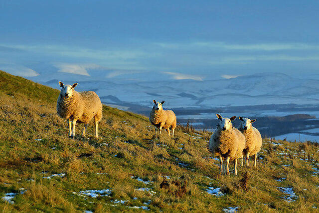
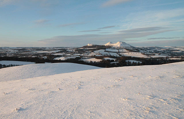
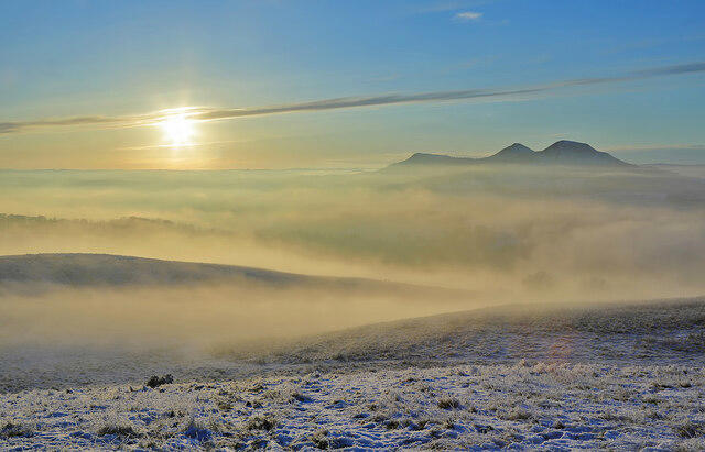
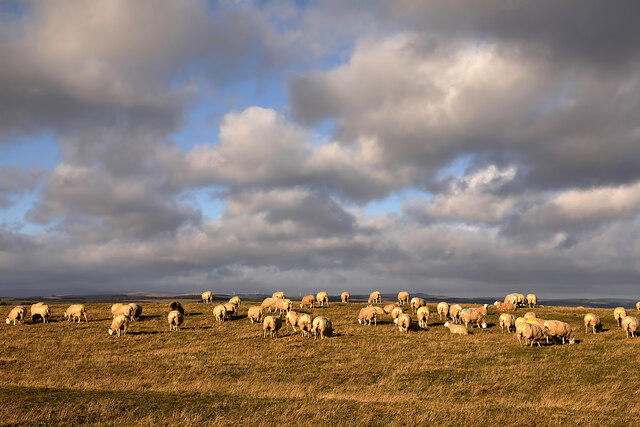
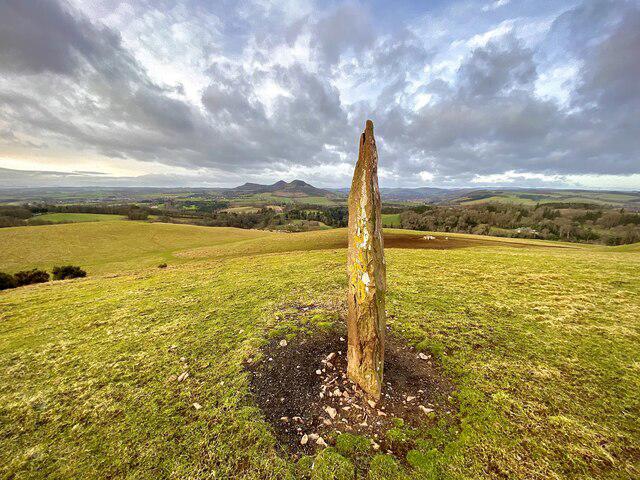
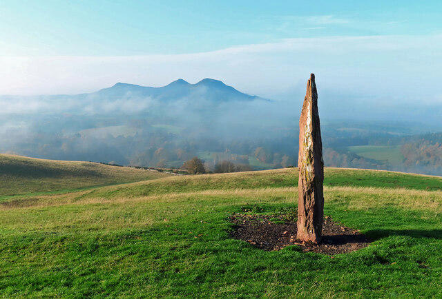
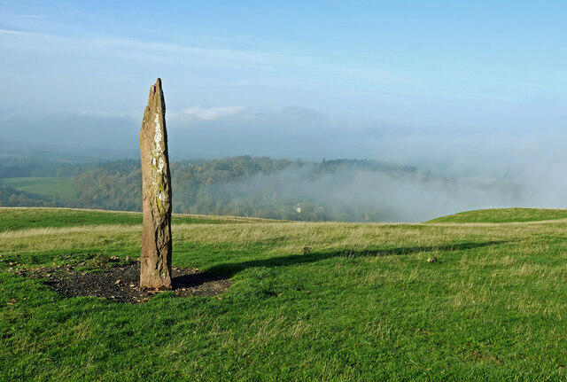
Upland / Hill
Circular
Hard
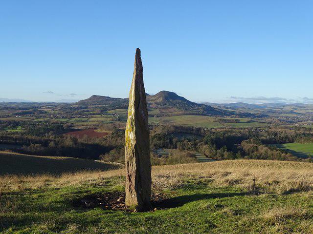
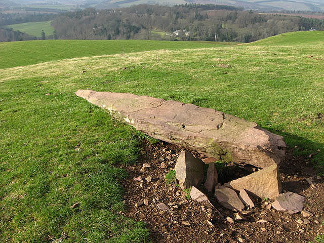
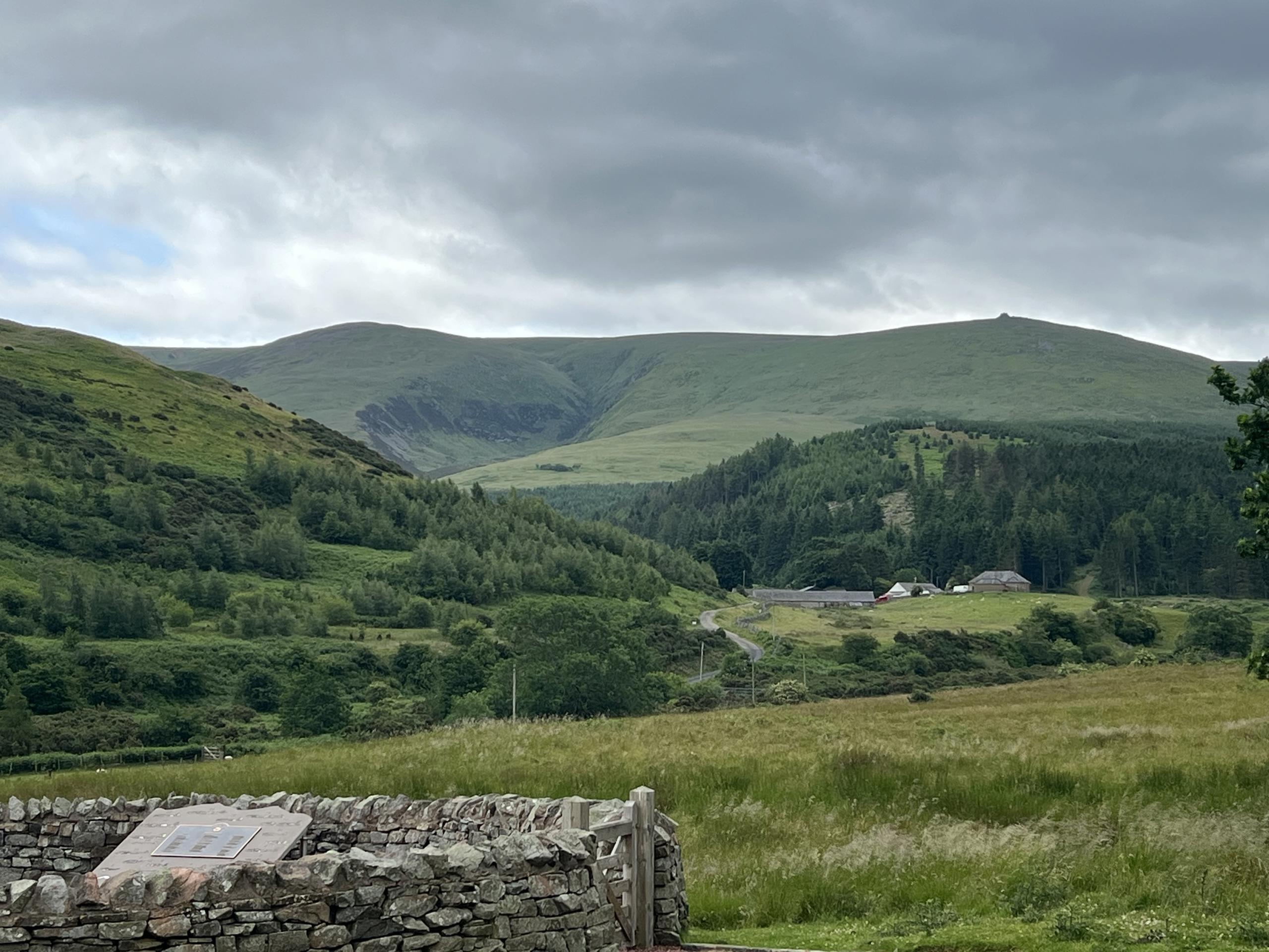
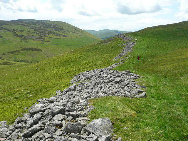
The Cheviot - two ww2 wrecks
PaulWalkmates
Walk organiser
No comments yet. Be the first.