

Badbury Rings
Good walks are even better shared.
ST9602 : Ditches and ramparts at Badbury Rings hill fort, Dorset
Phil Champion Photo source
Overview
Badbury Rings
Nestled in the enchanting Dorset countryside, Badbury Rings is not just any old hill; it’s a time capsule of ancient history and a beacon for outdoor enthusiasts. Standing at an elevation of 158 meters, the hill fort offers both breathtaking views and a touch of the historic.
Geology
The area is rich in chalk, a legacy of a prehistoric ocean, and the landscape is marked by rolling hills that would make even the most seasoned geographer swoon. This geology contributes to the fertile fields surrounding the Rings, making it a haven for nature and wildlife alike.
Routes
One of the most popular routes is a circular walk from the car park. It’s approximately 3.5 km and is suitable for walkers of all ages. Perfect for families and those who fancy a gentle stroll while soaking up history and scenery.
Summit Features
At the summit, walkers will find the impressive earthworks of the hill fort, which hark back to the Iron Age. The view from the top is simply stunning; you can see for miles, taking in the verdant fields and distant hills that form part of Cranborne Chase.
Terrain
The terrain around Badbury Rings is predominantly grassy, interspersed with wooded paths that add to the charm of the hike. Be prepared for uneven ground, as the remnants of the fortifications can make for a few tricky steps.
Views
Dramatic views are guaranteed! Highlights include the picturesque Cranborne Chase Area of Outstanding Natural Beauty and, on days when the sky is particularly clear, you might even catch a glimpse of the Isle of Purbeck. Best views can be had in spring and summer when nature puts on its best frock.
Hazards
While the paths are generally well-marked, always keep an eye out for changes in the weather. Fog can drift in quickly—much like unsolicited advice from a know-it-all relative. Additionally, be wary of the slightly uneven terrain around the fort’s earthworks.
Access
The nearest car park is conveniently located off the A354, just a short walk from the hill fort. It is free but tends to fill up quickly on weekends. If you're relying on public transport, the nearest train station is in Blandford Forum. A bus ride from there will get you close to the fort, making it accessible for everyone!
Facilities
While the site is devoid of facilities, don't fret! The nearby villages, such as Child Okeford, offer charming pubs and cafes where you can refuel after a day of exploring.
History
The name Badbury evokes a feeling of welcome—'bade' meaning to beckon in Old English. The hill fort itself has significant historical and archaeological value, shedding light on the lives of those who inhabited the area centuries ago.
Make sure to have your walking boots ready, and your camera at the ready! Badbury Rings offers a delightful mix of nature, history, and the kind of views that could make even the hardiest of walkers' knees go weak.
Enjoy your visit!
Explore routes near Badbury Rings
Walks starting near this hill. Open a route to check its map, distance and full itinerary.
Badbury Rings and The Oaks from Heron Drove, Dorset
View route
Bournemouth Walk with Men Walking & Talking
View route
Sturminster Newton, Cutt Mill and Stalbridge Lane
View route
Commoners’ Ways: Kingston, Corfe Castle and Blashenwell
View route
Route planning notes
These notes describe possible approaches. Check a route's map and access information when planning your walk.
Circular Walk from the Car Park
A scenic circular walk that showcases the natural beauty surrounding Badbury Rings and offers a chance to explore its historical features.
Make a day of it, together
Find someone to share the walk with, or organise a day out along a route you like.
Photo Gallery
View all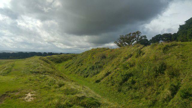 Photo could not load
ST9602 : Ditches and ramparts at Badbury Rings hill fort, Dorset
Phil Champion
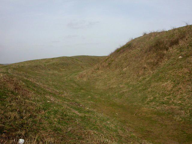 Photo could not load
ST9603 : Badbury Rings, ditch
Mike Faherty
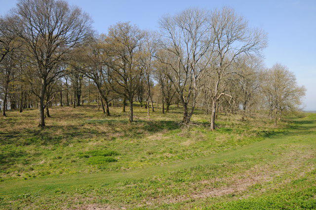 Photo could not load
ST9603 : Trees on Badbury Rings
Philip Halling
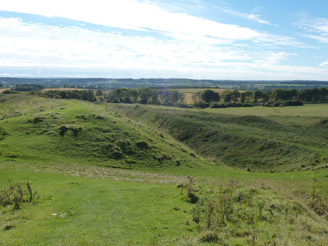 Photo could not load
ST9603 : Shapwick: across the main path into Badbury Rings
Chris Downer
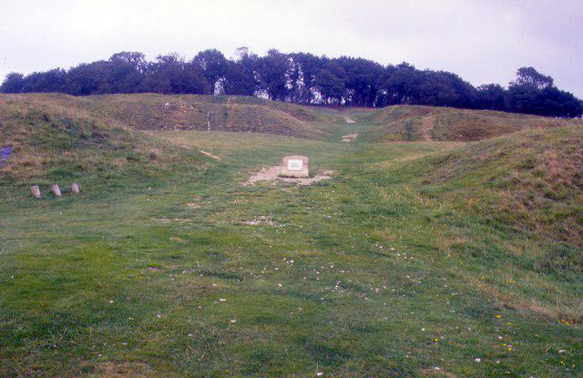 Photo could not load
ST9603 : Badbury Rings, Dorset
Chris Andrews
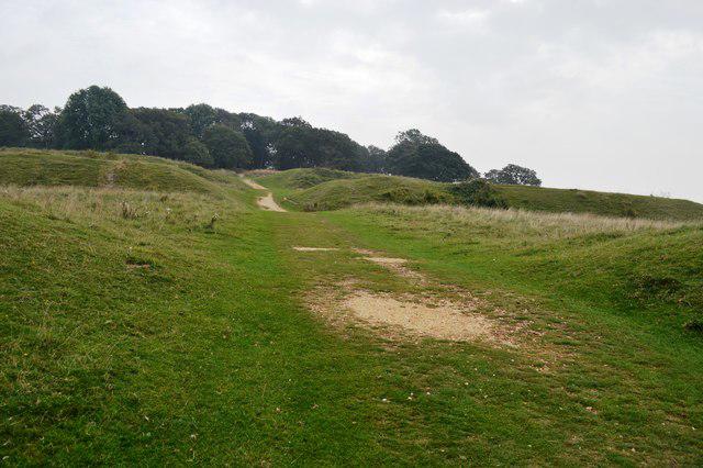 Photo could not load
ST9603 : Passing through the outer ring at Badbury Rings
John M
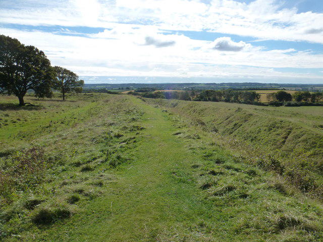 Photo could not load
ST9602 : Shapwick: the inner ring of Badbury Rings
Chris Downer
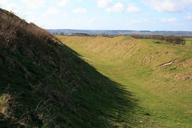 Photo could not load
ST9602 : Inner rampart, Badbury Rings
David Lally
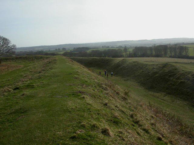 Photo could not load
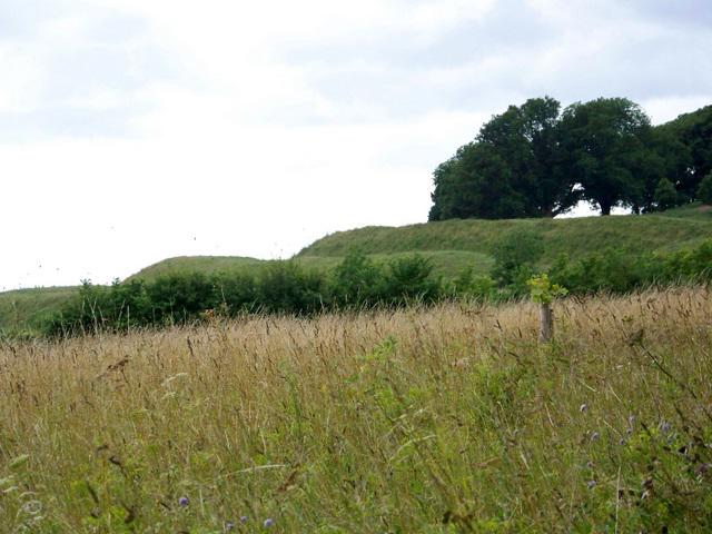
ST9603 : Badbury Rings, ramparts
Mike Faherty
ST9602 : Badbury Rings
Maigheach-gheal
Hill facts and local notes
Classifications
Elevation
101m
330 ft
Prominence
35m
Coordinates
50.8264, -2.0528
ST963029
OS Map
195
Explorer: 118S
At the Summit
At the summit, you’ll find the impressive earthworks of the hill fort along with stunning views over the Blackmore Vale and beyond.
Terrain & Geology
Badbury Rings is primarily composed of chalk, a sedimentary rock formed from marine organisms over millions of years. The surrounding landscape features the characteristic rolling hills and fertile valleys of the South Wessex region.
Views & Scenery
Distant views of the Cranborne Chase Area of Outstanding Natural Beauty and, on clear days, the Isle of Purbeck.
History & Heritage
Name Origin
The name 'Badbury' is derived from 'bade', an Old English word for 'to beckon' or 'to invite', hinting at the welcoming nature of the hill fort to ancient visitors.
Historical Significance
Badbury Rings is an important archaeological site, indicative of Iron Age hill fort construction. It has served historical and ceremonial purposes over the centuries.
Getting There & Facilities
Parking
There is a dedicated car park off the A354, approximately 1 km from the hill fort. It is free of charge, but gets busy on weekends.
Public Transport
The nearest train station is in Blandford Forum, from where you can catch a bus towards Bere Regis, getting off at the nearest stop.
Nearby Facilities
Unfortunately, there are no facilities at the site itself, but there are pubs and cafes in Child Okeford and the surrounding villages.
Safety Information
Known Hazards
- Keep an eye out for sudden changes in weather, as mist can roll in quite quickly. Be wary of uneven ground near the fortifications.
General Safety Tips
- Check weather conditions before setting out
- Carry appropriate clothing and equipment
- Let someone know your planned route
- Take a map, compass, and GPS device
- Carry emergency supplies: food, water, first aid kit, torch
Hills
Some common questions about the hills answered
Are there group walks up Badbury Rings?
Many walkers use Walkmates to join or organise walks with others. You can check for group walks around Badbury Rings through the maps
Are there other walkers around Badbury Rings?
Activity varies by location and time, but Walkmates lets you see whether others have shared walks or shown interest in this area. Find other people through the walking friends search walking friends for Badbury Rings search or of course create your own walk for Badbury Rings
Can I organise a walk to Badbury Rings?
Yes. If there aren’t any walks listed already, you can create a walk and make it available for others to join.
If you're signed up to Walkmates, you can create a walk to Badbury Rings.
How do I find a walk up this hill?
There are often multiple ways to walk this hill, depending on experience and route preference. Walkmates helps you explore walks and routes that others have shared.
Can I suggest a new route up Badbury Rings?
Yes. You can suggest or create routes to share with others. Walkmates focuses on the social side of walking, so routes are used to help people organise walks and explore areas together, rather than as detailed navigation tools or route libraries.
Other uses really appreciate knowledgeable walkers sharing their routes. Share your favourite route to Badbury Rings here
The is an error or something incorrect about this hill. How do I let you know?
We always strive to keep the information on Walkmates as accurate as possible. If you find an error, please let us know through the contact form and we'll aim to correct it as quickly as possible
Community Discussion
Comments
Location
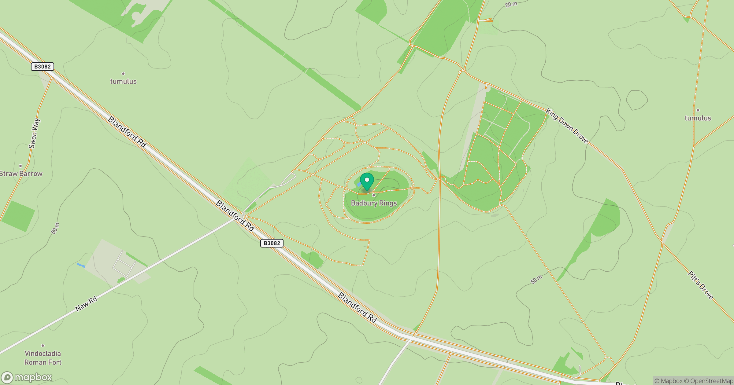
Grid reference: ST963029
View on OpenStreetMapOpens a map in a new tab, centred on the hill.
Nearby Hills
Glastonbury Tor
158m
Worcestershire Beacon
425m

Dunkery Beacon
520m
Titterstone Clee Hill
533m
Leith Hill
294m
No comments yet. Be the first.