

Tom Buidhe
Good walks are even better shared.
NO2178 : On Tom Buidhe
Michael Graham Photo source
Explore routes near Tom Buidhe
Walks starting near this hill. Open a route to check its map, distance and full itinerary.
Loch Kinord: Muir of Dinnet Woodland Circuit
View route
Forfar to Lunanhead: East Road and the Ditches Walk
View route
Potarch to Shooting Greens: Deeside Way return
View route
Rothiemurchus: Beaver Trail and Lochan Mor
View route
Route planning notes
These notes describe possible approaches. Check a route's map and access information when planning your walk.
Beinn a' Chlachair Trail
A scenic route starting from the eastern approach, providing a mix of gentle slopes and steeper sections towards the summit.
Make a day of it, together
Find someone to share the walk with, or organise a day out along a route you like.
Photo Gallery
View all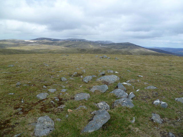 Photo could not load
NO2178 : On Tom Buidhe
Michael Graham
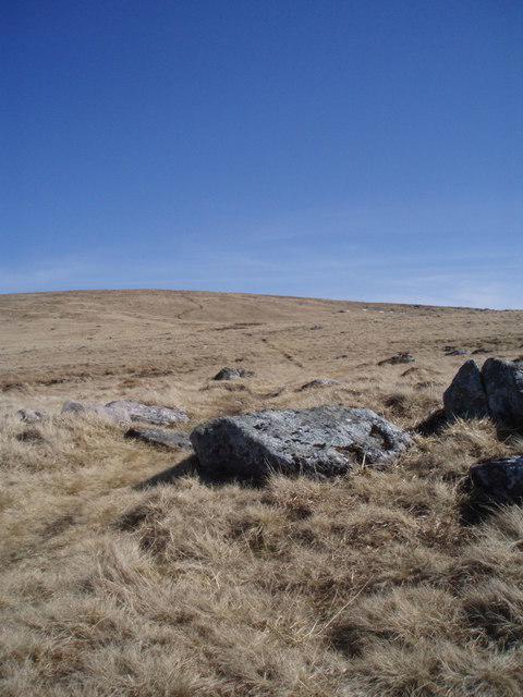 Photo could not load
NO2178 : The path to the summit of Tom Buidhe.
Gwen and James Anderson
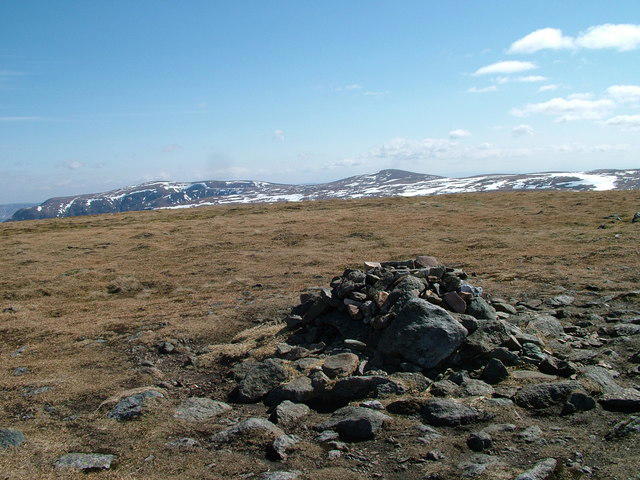 Photo could not load
NO2178 : Summit of Tom Buidhe
David Brown
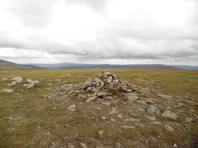 Photo could not load
NO2178 : Tom Buidhe summit cairn
Stephen Sweeney
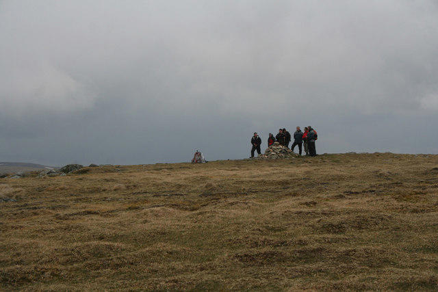 Photo could not load
NO2178 : Watch the birdie, Tom Buidhe
Nic Bullivant
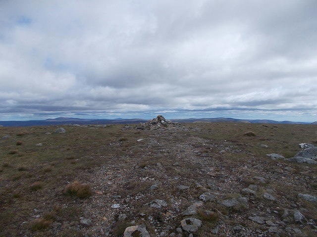 Photo could not load
NO2178 : Summit of Tom Buidhe
Iain Russell
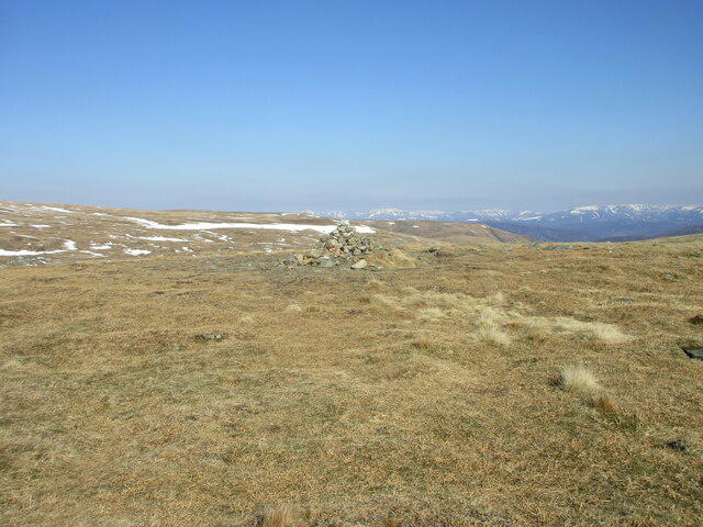 Photo could not load
NO2178 : Summit of Tom Buidhe
Scott Cormie
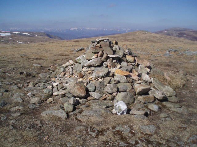 Photo could not load
NO2178 : The summit Cairn of Tom Buidhe
Gwen and James Anderson
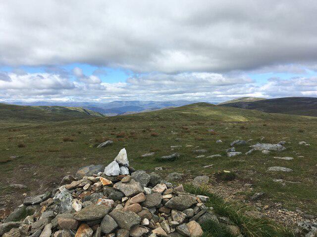 Photo could not load
NO2178 : Summit of Tom Buidhe
Steven Brown
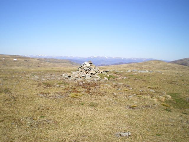
NO2178 : The summit of Tom Buidhe
Richard Law
Hill facts and local notes
Classifications
Elevation
958m
3,142 ft
Prominence
73m
Coordinates
56.8936, -3.2924
NO213787
OS Map
44
Explorer: OL53N 388N
At the Summit
The summit boasts a sizable cairn, perfect for a celebratory photo. There is also a small weathered trig point, which unfortunately isn’t great at carrying a conversation but it stands as a reliable landmark.
Terrain & Geology
Primarily composed of granite which offers a sturdy base for this peak. The surrounding landscape features glacial deposits from the last Ice Age, giving it that picturesque Highland charm.
Views & Scenery
Dazzling views of the nearby Schiehallion, as well as Loch Rannoch to the south, making it a feast for the eyes.
History & Heritage
Name Origin
The name 'Tom Buidhe' translates to 'yellow hill' in Gaelic, possibly referring to the sparse yellow grasses that can be seen in summer.
Historical Significance
Tom Buidhe has long held significance for hikers and is part of traditional routes that connect various Munro peaks.
Getting There & Facilities
Parking
The nearest parking can be found at the end of the public road near the Dalwhinnie area, with space for about 10-15 vehicles.
Public Transport
Buses run from main towns like Pitlochry and Aberfeldy. From the bus stop, it's a bit of a trek, so don’t forget your walking boots!
Nearby Facilities
There's a welcoming café in Dalwhinnie where you can grab a bite after your climb, as well as public toilets nearby.
Safety Information
Known Hazards
- Be careful of occasional loose stones and boggy areas. The weather can change in a jiffy, so ensure to check forecasts before heading out.
General Safety Tips
- Check weather conditions before setting out
- Carry appropriate clothing and equipment
- Let someone know your planned route
- Take a map, compass, and GPS device
- Carry emergency supplies: food, water, first aid kit, torch
Hills
Some common questions about the hills answered
Are there group walks up Tom Buidhe?
Many walkers use Walkmates to join or organise walks with others. You can check for group walks around Tom Buidhe through the maps
Are there other walkers around Tom Buidhe?
Activity varies by location and time, but Walkmates lets you see whether others have shared walks or shown interest in this area. Find other people through the walking friends search walking friends for Tom Buidhe search or of course create your own walk for Tom Buidhe
Can I organise a walk to Tom Buidhe?
Yes. If there aren’t any walks listed already, you can create a walk and make it available for others to join.
If you're signed up to Walkmates, you can create a walk to Tom Buidhe.
How do I find a walk up this hill?
There are often multiple ways to walk this hill, depending on experience and route preference. Walkmates helps you explore walks and routes that others have shared.
Can I suggest a new route up Tom Buidhe?
Yes. You can suggest or create routes to share with others. Walkmates focuses on the social side of walking, so routes are used to help people organise walks and explore areas together, rather than as detailed navigation tools or route libraries.
Other uses really appreciate knowledgeable walkers sharing their routes. Share your favourite route to Tom Buidhe here
The is an error or something incorrect about this hill. How do I let you know?
We always strive to keep the information on Walkmates as accurate as possible. If you find an error, please let us know through the contact form and we'll aim to correct it as quickly as possible
Community Discussion
Comments
Location
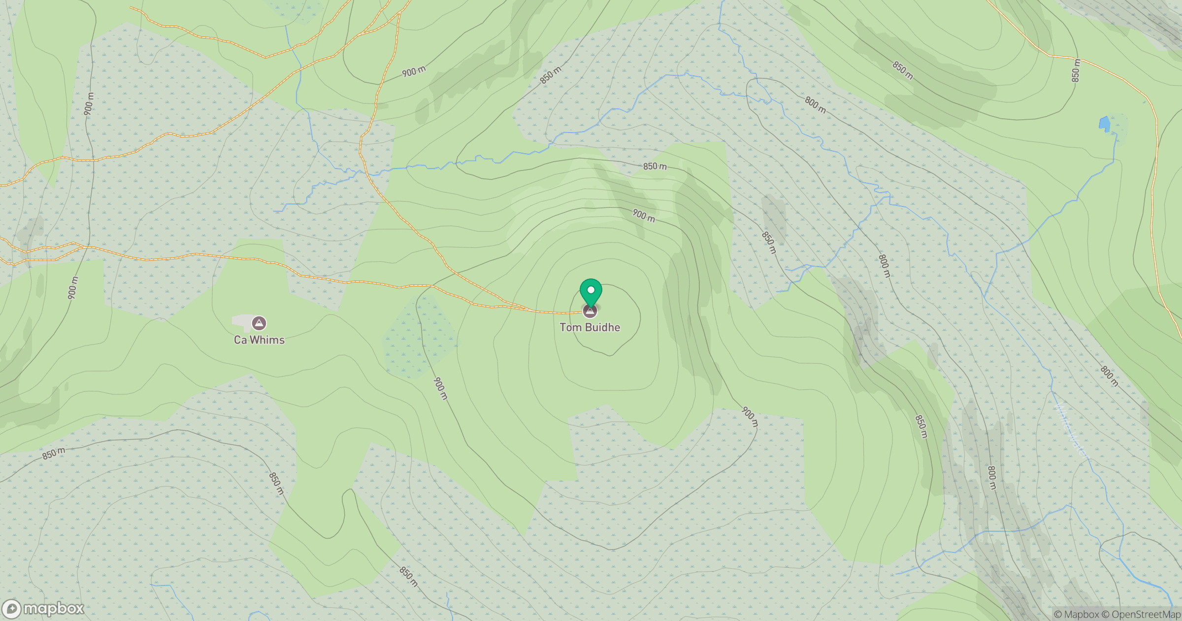
Grid reference: NO213787
View on OpenStreetMapOpens a map in a new tab, centred on the hill.
No comments yet. Be the first.