
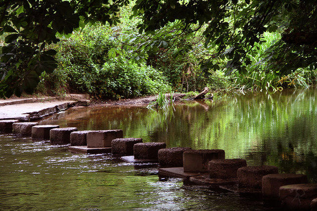
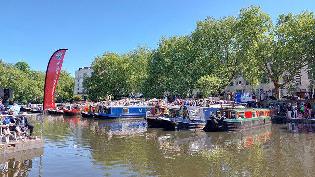
Canal / Riverside
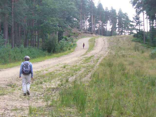
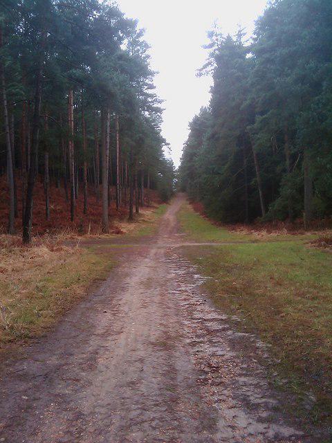
Circular
Easy
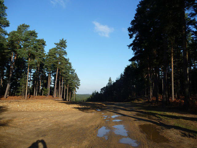
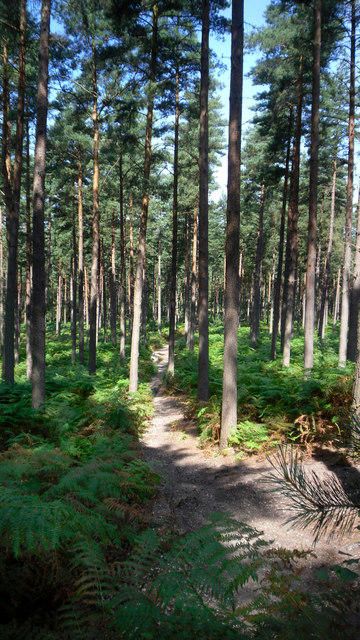
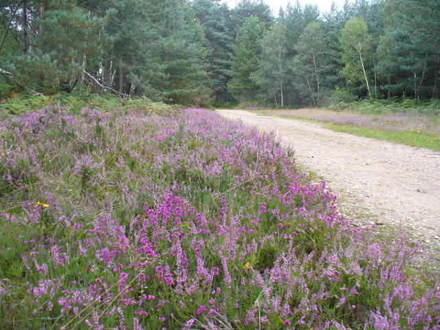
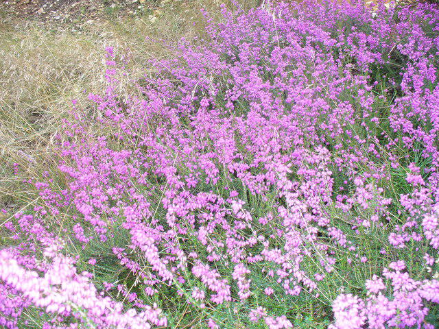
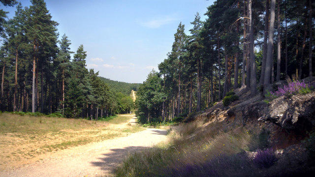
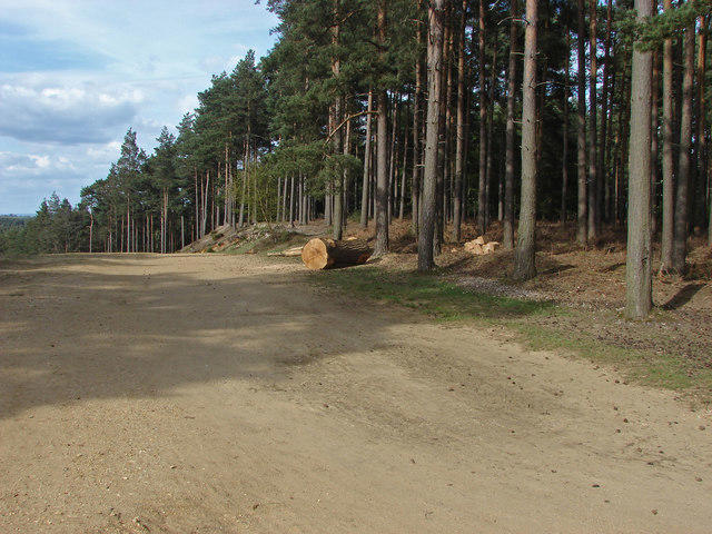
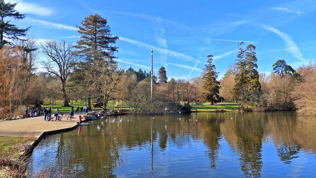
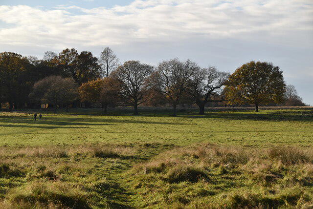
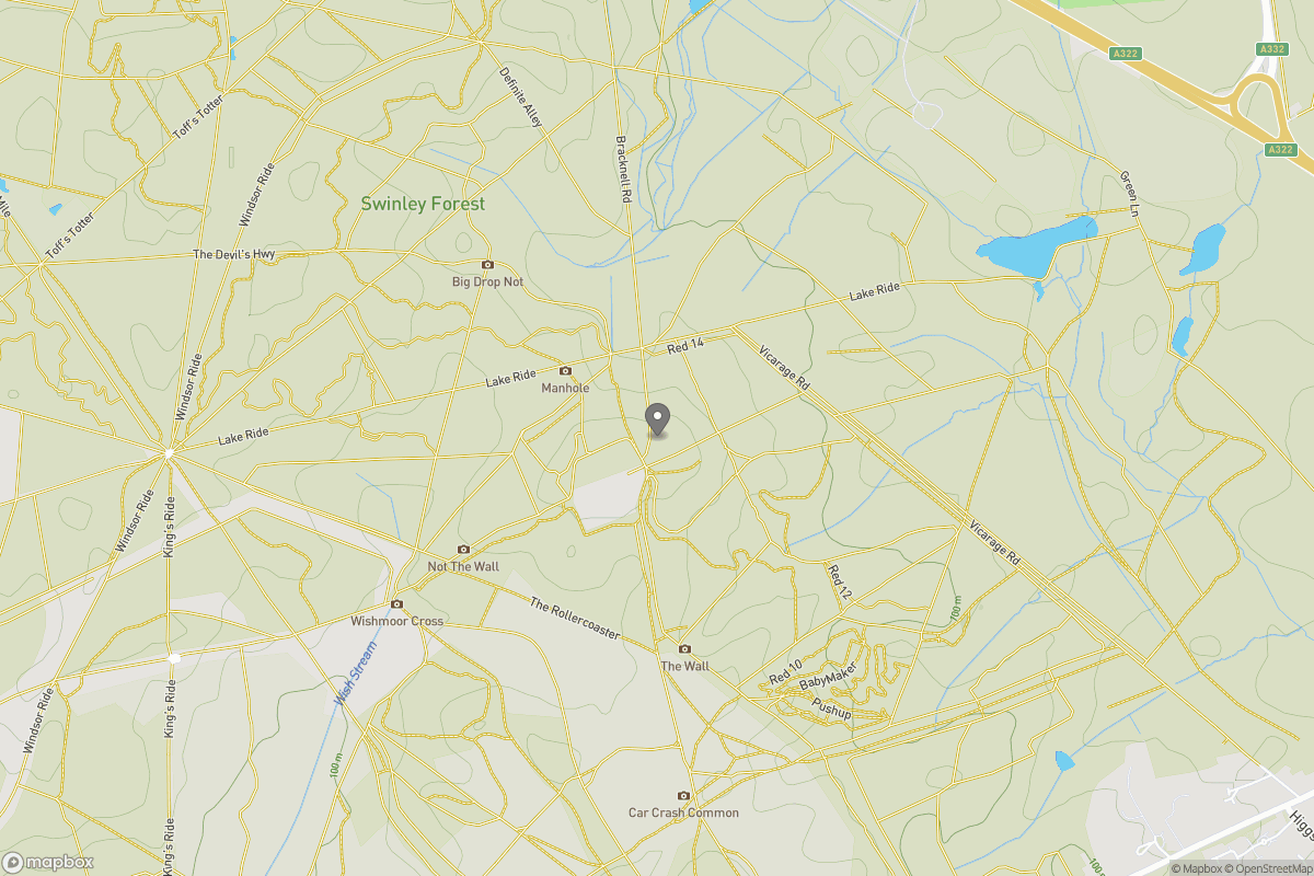
Virginia Water Circlular
PaulWalkmates
Walk organiser
No comments yet. Be the first.