Circular
Medium
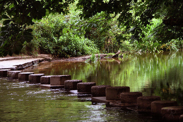
Box Hill - Stepping Stones Circuit
PaulWalkmates
Walk organiser

St Martha's Hill Group Walks | Join a Walk
Join group walks, find walking companions and friends, or organise your own!
Don't walk alone! Find friendly walkers to explore St Martha's Hill together. Join scheduled group walks or start your own.
Elevation
175m
574 ft
Prominence
58m
Coordinates
51.2246, -0.5293
TQ027482
OS Map
186
Explorer: 145
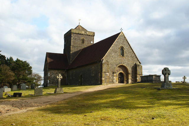
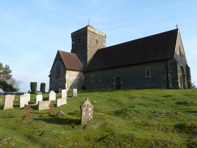
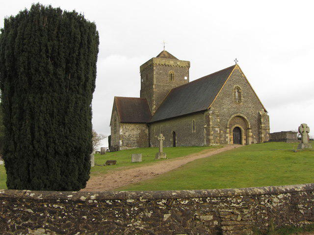
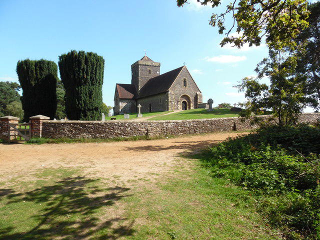
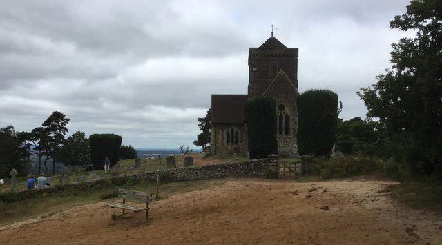
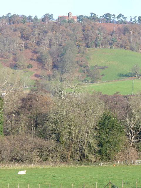
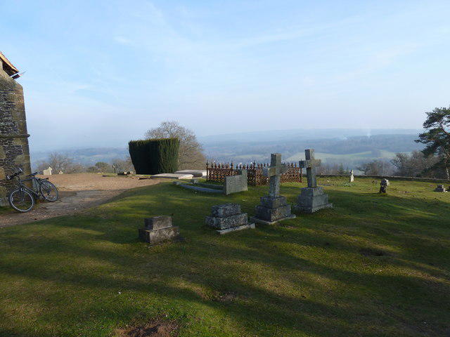
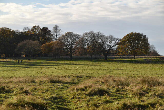
The summit features a distinctive trig point and a quaint church, St Martha-on-the-Hill, which dates back to the 12th century, offering a splendid touch of history alongside the panoramic views.
St Martha's Hill is primarily composed of sandstone, which has eroded over time to create the charming slopes and cliffs seen today. The area also features occasional patches of clay, yielding a mix of rich soil ideal for the local flora.
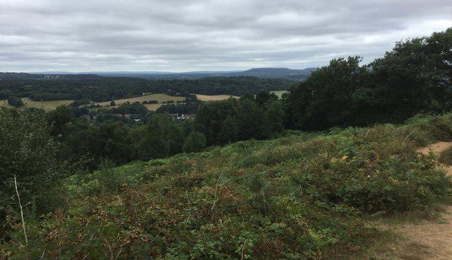
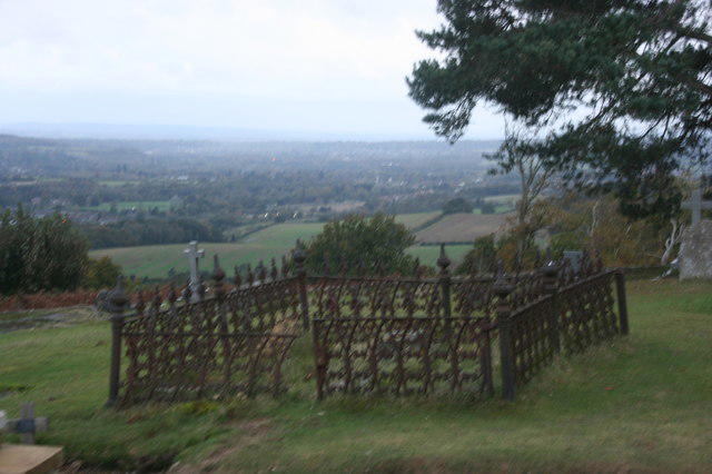
From the summit, hikers can feast their eyes on the distant North Downs, the rolling Surrey countryside, and on a clear day, even the iconic skyline of London can be glimpsed.
The name 'St Martha' likely derives from St Martha of Bethany, an important figure in Christianity, and the hill has had ecclesiastical ties for centuries.
The church at the summit has been a pilgrimage site for many, adding a layer of historical and spiritual significance to the climb.
A delightful circular route taking in the stunning views and diverse landscapes around St Martha's Hill.
There is parking available at Newland's Corner, which is approximately 2 km from the start of the hiking route to St Martha's Hill. The car park has a small charge.
The nearest railway station is Guildford, approximately 7 km away. From there, local buses or a taxi can take you to Newland's Corner.
There are no facilities directly on the hill, but nearby Newland's Corner has a café and public toilets available.
Join friendly walkers exploring St Martha's Hill and surrounding area
More walks starting close to this area

Create a walk and let others join you. It's free and easy!
Some common questions about the hills answered
Many walkers use Walkmates to join or organise walks with others. You can check for group walks around St Martha's Hill through the maps
Activity varies by location and time, but Walkmates lets you see whether others have shared walks or shown interest in this area. Find other people through the walking friends search walking friends for St Martha's Hill search or of course create your own walk for St Martha's Hill
Yes. If there aren’t any walks listed already, you can create a walk and make it available for others to join.
If you're signed up to Walkmates, you can create a walk to St Martha's Hill.
There are often multiple ways to walk this hill, depending on experience and route preference. Walkmates helps you explore walks and routes that others have shared.
Yes. You can suggest or create routes to share with others. Walkmates focuses on the social side of walking, so routes are used to help people organise walks and explore areas together, rather than as detailed navigation tools or route libraries.
Other uses really appreciate knowledgeable walkers sharing their routes. Share your favourite route to St Martha's Hill here
We always strive to keep the information on Walkmates as accurate as possible. If you find an error, please let us know through the contact form and we'll aim to correct it as quickly as possible
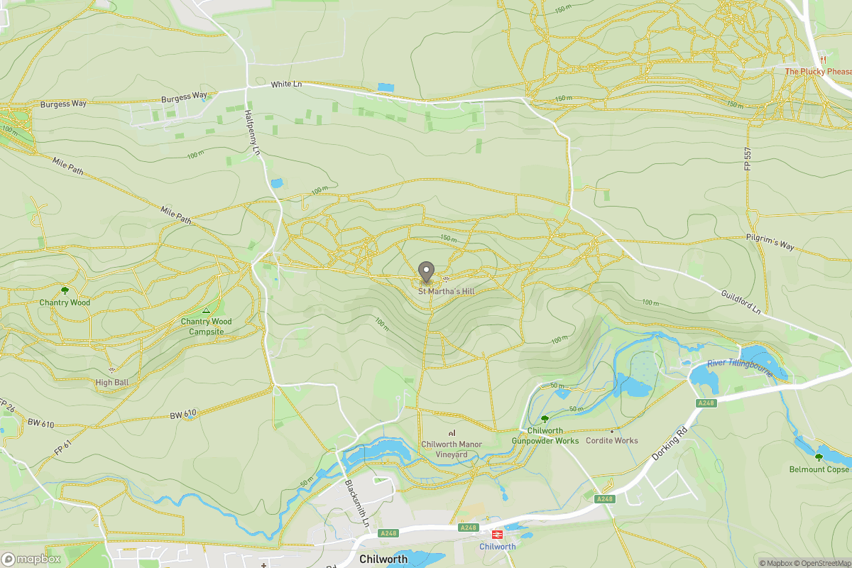
Grid Ref: TQ027482
Leith Hill
294m
Ditchling Beacon
248m
Worcestershire Beacon
425m
Glastonbury Tor
158m
Titterstone Clee Hill
533m
+ 5 more nearby hills
Find more walking companions in the area
No comments yet. Be the first.