

St Breock Beacon
Good walks are even better shared.
SW9668 : St Breock Downs Monolith
G Laird Photo source
Overview
St Breock Beacon
St Breock Beacon, perched at an elevation of 274 meters, is a delightful Marilyn situated in the stunning landscapes of Cornwall. With its inviting grassy slopes and rocky outcrops, the beacon is a favourite amongst hikers looking for a moderately challenging outing.
Geology
A geological treasure, St Breock Beacon is composed mainly of granite, delivering a peek into the Earth’s volcanic past from the Permian period. Marvel at the variety of rocks and the unique formations that have stood the test of time.
Routes
The standout route to the summit is the St Breock Beacon Circular Walk. This 5.0 km trail will take you around 2 hours to complete, offering scenic views along the way and rewarding you with a summit vista that is nothing short of magnificent. Perfect for families and seasoned walkers alike, it’s a crowd-pleaser!
Summit Features
Once at the top, you'll encounter the iconic trig point that serves as a beacon for many adventurous souls. There's even a small shelter where you can rest your weary legs and enjoy your well-deserved snack while taking in the sights.
Terrain Type
The terrain comprises a pleasant blend of grassy areas interspersed with rocky patches, providing a comfortable path for a pleasant stroll amid nature. Just keep an eye out for those cheeky mud patches after rain!
Views
The views from St Breock Beacon are nothing short of breathtaking, with highlights including the Camel Estuary and the sparkling Atlantic Ocean. It’s recommended to visit during spring or early autumn for the best vistas and clear skies, though early morning endeavours can also yield stunning views free from the usual mist.
Hazards
As beautiful as the Cornish countryside is, it can also be deceptively unpredictable. Be wary of sudden weather changes, as conditions can shift faster than you can say “Cornish pasty.” Additionally, tread carefully in muddy areas post-rain — your shoes will thank you later!
Nearby Summits
Nearby summits include Sugar Loaf Hill and Roughtor, both of which offer additional adventure opportunities for those looking to explore further.
Access
For those driving, there’s convenient free parking located at a layby on the A389, just a hop, skip, and jump from the trailhead. Public transport is available too, with buses connecting Wadebridge and St Breock throughout the day.
Facilities
Post-hike, feel free to pop into Wadebridge, where a world of cafes, restaurants, and restrooms awaits to replenish your energy.
History
The name St Breock is derived from the Cornish word for ‘hill’ and pays homage to St. Breaca. This beacon has long served as a marker in Cornwall’s landscape, reminding visitors of the rich history and culture that the area has to offer.
In summary, St Breock Beacon provides a delightful blend of scenic beauty, geological wonders, and historical significance, all wrapped up in a moderate hiking experience ideal for enthusiasts and families alike. Don't miss out on this joy in the Cornish countryside!
Happy hiking!
For your safety, ensure you’re adequately prepared and always check the weather before your adventure.
Explore routes near St Breock Beacon
Walks starting near this hill. Open a route to check its map, distance and full itinerary.
Wadebridge to Boscarne: Camel Valley Railway Walk
View route
Padstow to Trevone coastal circular
View route
Lanhydrock: Deer Wall, River Fowey and Woodland Circuit
View route
Ropehaven Cliffs and Black Head
View route
Route planning notes
These notes describe possible approaches. Check a route's map and access information when planning your walk.
St Breock Beacon Circular Walk
A popular circular route starting from the nearby village, taking hikers through scenic countryside and up to the summit of St Breock Beacon.
Make a day of it, together
Find someone to share the walk with, or organise a day out along a route you like.
Photo Gallery
View all Photo could not load
SW9668 : St Breock Downs Monolith
G Laird
 Photo could not load
SW9668 : St Breock Downs Monolith
G Laird
 Photo could not load
SW9668 : St Breock Downs Monolith
Sandy Gerrard
 Photo could not load
SW9668 : St Breock Beacon
Rude Health
Hill facts and local notes
Classifications
Elevation
216m
709 ft
Prominence
95m
Coordinates
50.4784, -4.8660
SW967682
OS Map
200
Explorer: 106
At the Summit
The summit features a prominent trig point and a viewpoint offering expansive views of the surrounding landscape. There is also a shelter where hikers can take a break and enjoy their packed lunch.
Terrain & Geology
St Breock Beacon is primarily composed of granite, which is a remnant of volcanic activity from the Permian period. The rocky formations provide a glimpse into the earth's geological history, showcasing both intrusive and extrusive igneous rocks.
Views & Scenery
From the summit, hikers can see the Camel Estuary, the Atlantic Ocean, and, on a clear day, the distant outlines of Bodmin Moor. The sweeping views provide a true sense of the rugged Cornwall landscape.
History & Heritage
Name Origin
The name 'Breock' is derived from the Cornish word for 'hill', combining with 'St' in reference to St. Breaca, a local saint.
Historical Significance
St Breock Beacon has been a significant landmark for centuries and plays a part in local folklore and history, serving as a lookout point since ancient times.
Getting There & Facilities
Parking
There is free parking available at the small layby off the A389, just a short walk from the trailhead. Additional parking can be found in the nearby village.
Public Transport
The closest bus service runs from Wadebridge to St Breock, with regular service throughout the day. Check local timetables for the latest information.
Nearby Facilities
Although there are no facilities directly on the mountain, Wadebridge offers plenty of options, including cafes, restaurants, and public toilets for pre- or post-hike requirements.
Safety Information
Known Hazards
- Watch out for sudden weather changes, as conditions can turn quickly in Cornwall. The paths can also be muddy and slippery after rain, so sturdy footwear is advised.
General Safety Tips
- Check weather conditions before setting out
- Carry appropriate clothing and equipment
- Let someone know your planned route
- Take a map, compass, and GPS device
- Carry emergency supplies: food, water, first aid kit, torch
Hills
Some common questions about the hills answered
Are there group walks up St Breock Beacon?
Many walkers use Walkmates to join or organise walks with others. You can check for group walks around St Breock Beacon through the maps
Are there other walkers around St Breock Beacon?
Activity varies by location and time, but Walkmates lets you see whether others have shared walks or shown interest in this area. Find other people through the walking friends search walking friends for St Breock Beacon search or of course create your own walk for St Breock Beacon
Can I organise a walk to St Breock Beacon?
Yes. If there aren’t any walks listed already, you can create a walk and make it available for others to join.
If you're signed up to Walkmates, you can create a walk to St Breock Beacon.
How do I find a walk up this hill?
There are often multiple ways to walk this hill, depending on experience and route preference. Walkmates helps you explore walks and routes that others have shared.
Can I suggest a new route up St Breock Beacon?
Yes. You can suggest or create routes to share with others. Walkmates focuses on the social side of walking, so routes are used to help people organise walks and explore areas together, rather than as detailed navigation tools or route libraries.
Other uses really appreciate knowledgeable walkers sharing their routes. Share your favourite route to St Breock Beacon here
The is an error or something incorrect about this hill. How do I let you know?
We always strive to keep the information on Walkmates as accurate as possible. If you find an error, please let us know through the contact form and we'll aim to correct it as quickly as possible
Community Discussion
Comments
Location
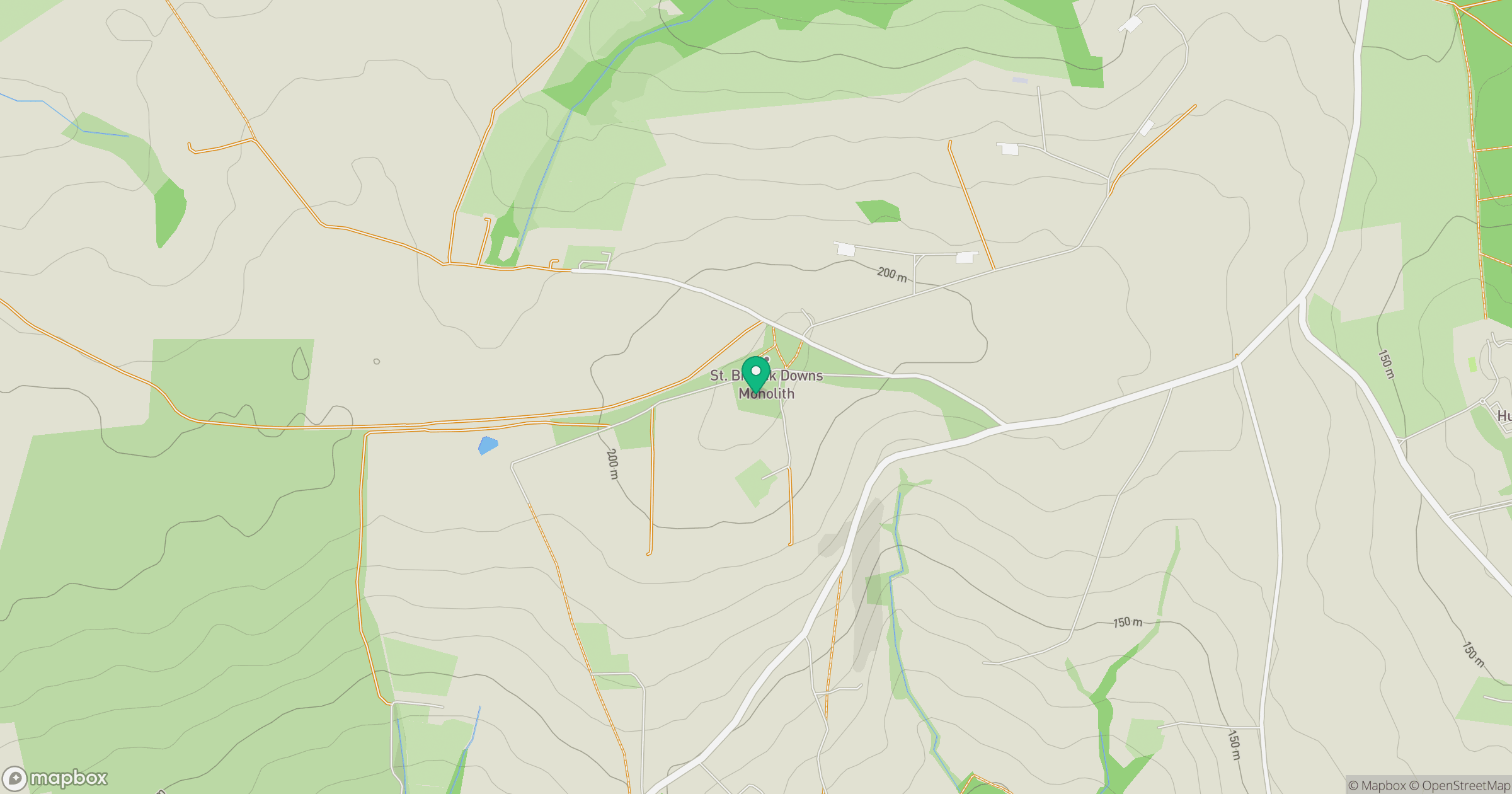
Grid reference: SW967682
View on OpenStreetMapOpens a map in a new tab, centred on the hill.
Nearby Hills
Brown Willy
420m
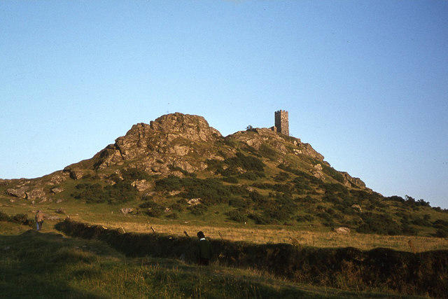
Brent Tor
334m
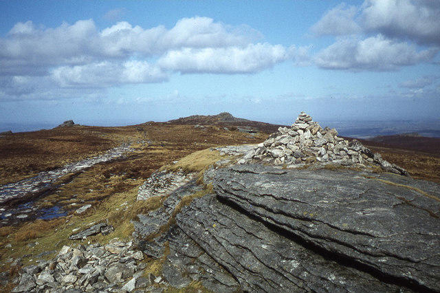
High Willhays
622m
Rhossili Down - The Beacon
193m
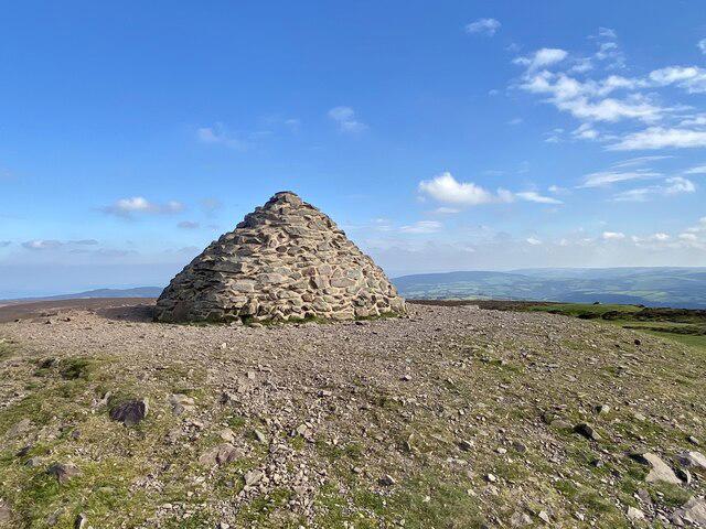
Dunkery Beacon
520m
No comments yet. Be the first.