

Scoat Fell
Good walks are even better shared.
NY1511 : On Steeple
Michael Graham Photo source
Explore routes near Scoat Fell
Walks starting near this hill. Open a route to check its map, distance and full itinerary.
Scafell Pike via Brown Tonge and Hollow Stones
View route
Scafell Pike from Seathwaite via the Corridor Route
View route
Great Carrs Halifax Wreckage from Wrynose Pass
View route
Tarn Hows Fast Route
View route
Route planning notes
These notes describe possible approaches. Check a route's map and access information when planning your walk.
Scoat Fell via the Mosedale Valley
A popular route starting from the Mosedale Valley, ascending gently before tackling the steeper slopes to the summit. Perfect for those looking to stretch their legs and their lungs.
Make a day of it, together
Find someone to share the walk with, or organise a day out along a route you like.
Photo Gallery
View all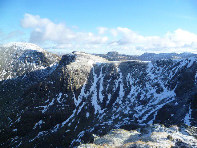 Photo could not load
NY1511 : On Steeple
Michael Graham
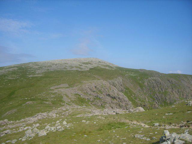 Photo could not load
NY1611 : Little Scoat Fell
Michael Graham
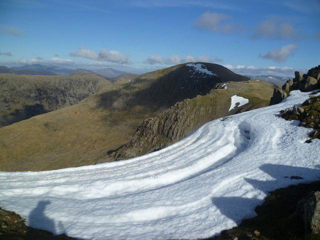 Photo could not load
NY1511 : Sagging Cornice
Michael Graham
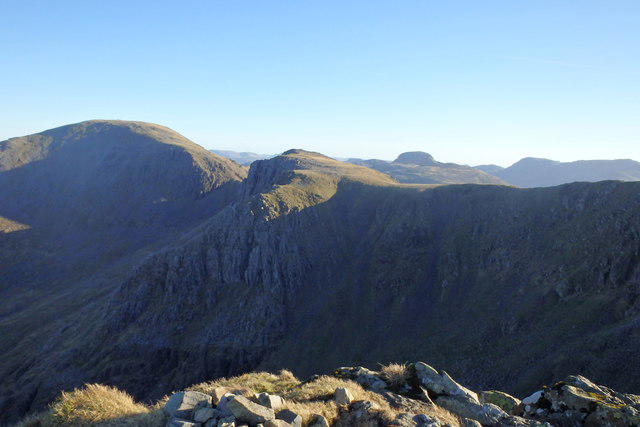 Photo could not load
NY1511 : On Steeple
Michael Graham
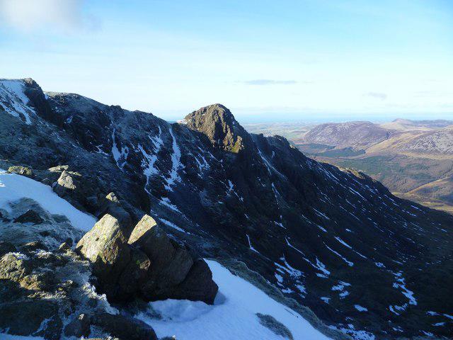 Photo could not load
NY1611 : Above Mirk Cove
Michael Graham
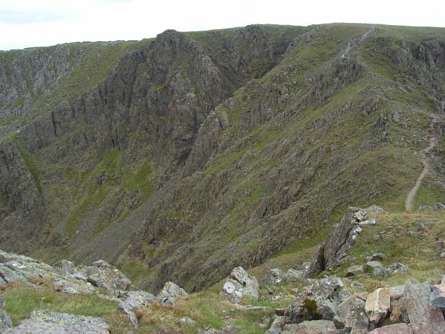 Photo could not load
NY1511 : Scoat Fell
Andrew Smith
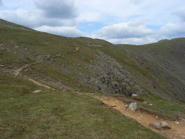 Photo could not load
NY1611 : Path skirting Scoat Fell
Andrew Smith
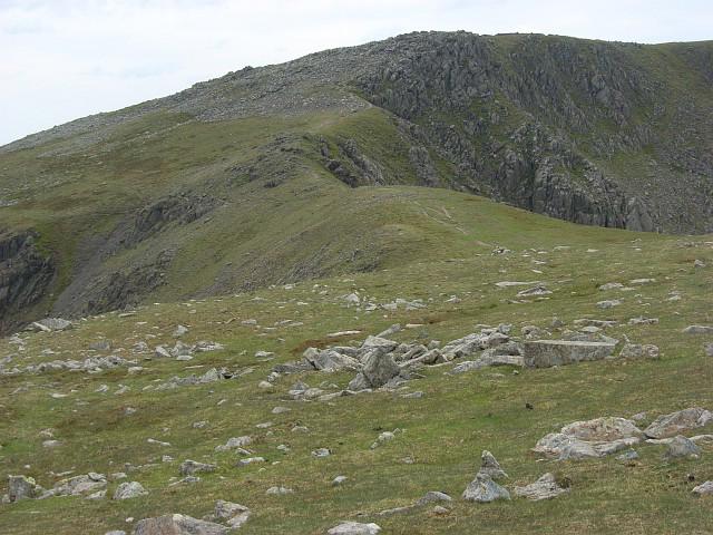 Photo could not load
NY1611 : Ridge between Scoat Fell and Pillar
Andrew Smith
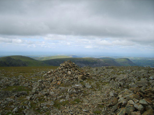 Photo could not load
NY1511 : Cairn on Scoat Fell
Michael Graham
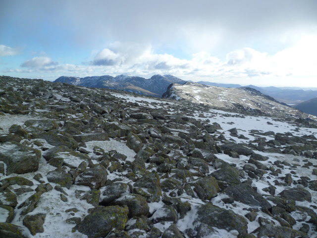
NY1511 : On Scoat Fell
Michael Graham
Hill facts and local notes
Classifications
Elevation
841m
2,759 ft
Prominence
85m
Coordinates
54.4909, -3.2992
NY159113
OS Map
89
Explorer: OL4S
At the Summit
The summit of Scoat Fell features a large cairn and offers a stunning view across the surrounding fells, making it a perfect spot for a well-earned picnic, as long as you don’t mind sharing with the circling gulls.
Terrain & Geology
Scoat Fell is primarily composed of volcanic rocks, specifically andesite, formed during the volcanic activity in the area approximately 450 million years ago. This rugged geology contributes to the dramatic landscapes typical of the Lake District.
Views & Scenery
From the summit, one can see the towering peaks of the Scafell range, the serene Wast Water, and even the distant peaks of the Yorkshire Dales on a clear day.
History & Heritage
Name Origin
The name 'Scoat' is thought to derive from the Old Norse word 'skot,' meaning 'a place for landing' or 'shelter.' Coupled with 'Fell,' which refers broadly to a hill or mountain.
Historical Significance
Scoat Fell has a rich history associated with mountaineering and has been frequented by climbers and hikers for generations. The nearby valleys have also been important in the Sheep farming industry.
Getting There & Facilities
Parking
Parking is available at the Wasdale Head car park, located approximately 5 miles from the trailhead. Arrive early as spaces can fill up quickly, especially on weekends.
Public Transport
There are limited bus services to the area from nearby towns like Keswick and Ravenglass; however, they may not run frequently, so check local timetables in advance.
Nearby Facilities
While there are no facilities directly on the mountain, the Wasdale Head Hotel offers basic refreshments and information. It's recommended to bring your own snacks and water to avoid disappointment.
Safety Information
Known Hazards
- Steep and uneven terrain can pose a risk of falls. Be wary of weather changes, as conditions can turn quickly in the Lake District.
General Safety Tips
- Check weather conditions before setting out
- Carry appropriate clothing and equipment
- Let someone know your planned route
- Take a map, compass, and GPS device
- Carry emergency supplies: food, water, first aid kit, torch
Hills
Some common questions about the hills answered
Are there group walks up Scoat Fell?
Many walkers use Walkmates to join or organise walks with others. You can check for group walks around Scoat Fell through the maps
Are there other walkers around Scoat Fell?
Activity varies by location and time, but Walkmates lets you see whether others have shared walks or shown interest in this area. Find other people through the walking friends search walking friends for Scoat Fell search or of course create your own walk for Scoat Fell
Can I organise a walk to Scoat Fell?
Yes. If there aren’t any walks listed already, you can create a walk and make it available for others to join.
If you're signed up to Walkmates, you can create a walk to Scoat Fell.
How do I find a walk up this hill?
There are often multiple ways to walk this hill, depending on experience and route preference. Walkmates helps you explore walks and routes that others have shared.
Can I suggest a new route up Scoat Fell?
Yes. You can suggest or create routes to share with others. Walkmates focuses on the social side of walking, so routes are used to help people organise walks and explore areas together, rather than as detailed navigation tools or route libraries.
Other uses really appreciate knowledgeable walkers sharing their routes. Share your favourite route to Scoat Fell here
The is an error or something incorrect about this hill. How do I let you know?
We always strive to keep the information on Walkmates as accurate as possible. If you find an error, please let us know through the contact form and we'll aim to correct it as quickly as possible
Community Discussion
Comments
Location
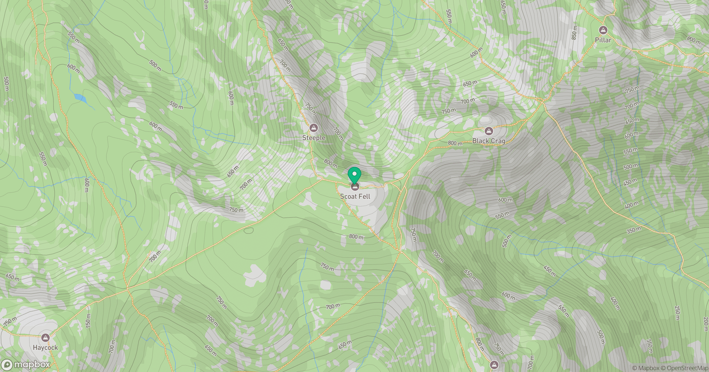
Grid reference: NY159113
View on OpenStreetMapOpens a map in a new tab, centred on the hill.
Nearby Hills
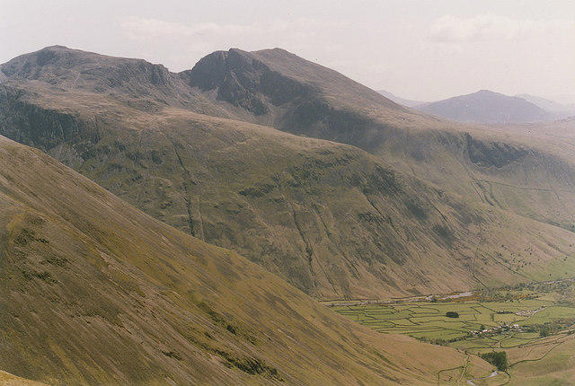
Pillar
892m
High Stile [Grey Crag - High Stile]
806m
Fleetwith Pike
649m

Great Gable
899m
Grasmoor
852m
No comments yet. Be the first.