

Martinsell Hill
Good walks are even better shared.
SU1763 : Martinsell Hill
Andrew Smith Photo source
Overview
Martinsell Hill
Martinsell Hill, reaching an elevation of 193 metres, is a captivating Marilyn situated in the picturesque South Wilts Downs. It offers hikers a delightful blend of scenic landscape, geological intrigue, and a welcoming community at nearby Marlborough.
Geology
This hill is predominantly made from chalk—a soft, white stone that has shaped the stunning downland scenery seen today. The chalk supports a unique ecosystem, attracting various wildlife, especially during spring when the area blooms with vibrant wildflowers.
Access and Parking
Getting to Martinsell Hill is relatively straightforward. The nearest town is Marlborough, which is just 1.5 km away from the hill itself. There’s a modest car park in the village where you can leave your vehicle before embarking on your adventure. If you're relying on public transport, bus services regularly connect Marlborough with Swindon and nearby towns, making it accessible for all.
Routes
One of the most popular routes to take is the Martinsell Hill Circular. This moderate 5.5 km hike offers a delightful round trip that takes about 2.5 hours to complete. You’ll wind through lush fields and enjoy nature at its finest—don't forget your camera! This route is perfect for families and outdoor enthusiasts alike.
Summit Features
At the summit, you’ll be greeted by a trig point standing tall, inviting you to take a moment and admire the sprawling views to all corners. The friendly butterflies and the ambience will make this stop memorable; just be wary of having too many snacks—the wildlife might get curious!
Views and Best Times to Visit
The views from the top are magnificent. Notably, you can spot the Kennet Valley and the rolling hills of the Pewsey Downs in the distance. Spring through summer is ideal for the best views when the landscape bursts into life. But if you fancy a bit of autumnal magic, the changing foliage can be simply stunning.
Hazards
As always, a bit of caution goes a long way: be sure to watch out for muddy conditions during or after rain, and keep an eye out for any roaming sheep—they might want to make sure you’re not there to steal their grass!
Nearby Summits
For those looking to conquer more heights, nearby summits like Pewsey Hill and Knotley Hill provide perfect add-ons to your hiking adventure. Each offers its own charm and views to complement your Martinsell experience.
Facilities
When you descend back to civilisation, enjoy the local establishments in Marlborough—plenty of cafes and pubs to grab a bite and celebrate your hiking victory, as well as public toilets for a quick refresh.
In Conclusion
Martinsell Hill is not just a hill; it’s a splendid outing into the heart of Britain's countryside. Whether you're an experienced hiker or just looking to stretch your legs with the family, Martinsell Hill offers a bit of everything. So lace up those boots and enjoy the adventure—it’s well worth the effort!
Explore routes near Martinsell Hill
Walks starting near this hill. Open a route to check its map, distance and full itinerary.
Donkey Walk
View route
Chiseldon to Barbury Shooting School Circular Walk
View route
Devizes Wharf and Caen Hill Lock Flight Towpath Walk
View route
Chippenham Walk with Men Walking & Talking
View route
Route planning notes
These notes describe possible approaches. Check a route's map and access information when planning your walk.
Martinsell Hill Circular
A scenic circular trail starting from the village of Marlborough, winding through beautiful countryside and providing an opportunity to observe both flora and fauna characteristic of chalk downland.
Make a day of it, together
Find someone to share the walk with, or organise a day out along a route you like.
Photo Gallery
View all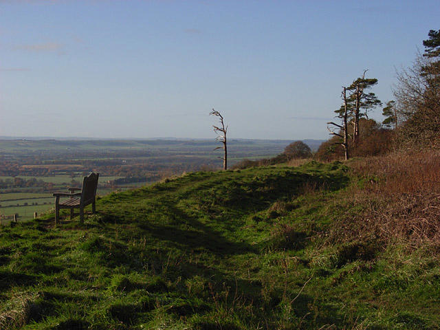 Photo could not load
SU1763 : Martinsell Hill
Andrew Smith
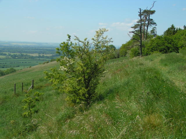 Photo could not load
SU1763 : Martinsell Hill
Rob Purvis
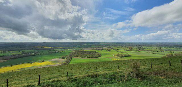 Photo could not load
SU1763 : Martinsell Hill, Wiltshire
Rebecca A Wills
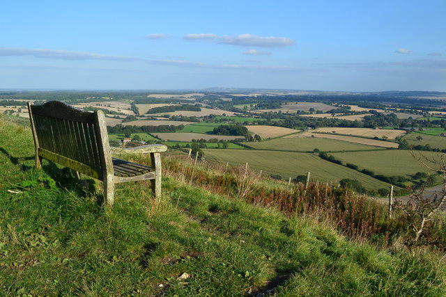 Photo could not load
SU1763 : Seat with a view on Martinsell Hill
David Martin
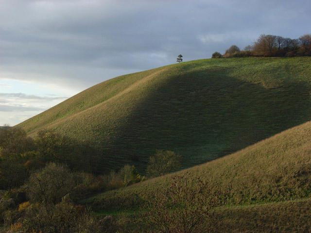 Photo could not load
SU1763 : Martinsell Hill
Andrew Smith
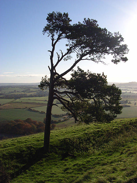 Photo could not load
SU1763 : Pine tree, Martinsell Hill
Andrew Smith
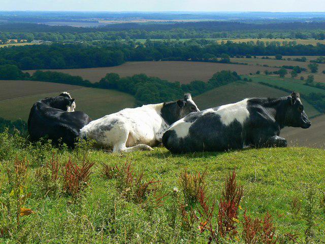 Photo could not load
SU1763 : Living on the edge, Martinsell Hill, Wootton Rivers
Brian Robert Marshall
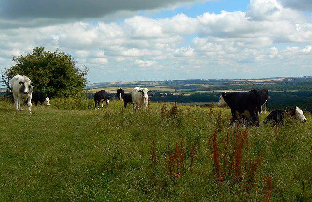 Photo could not load
SU1763 : Cattle on the Mid Wilts Way, Martinsell Hill, near Wootton Rivers
Brian Robert Marshall
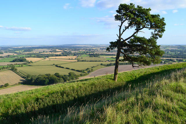 Photo could not load
SU1763 : Isolated tree on Martinsell Hill
David Martin
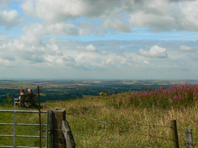
SU1763 : Seat, Martinsell Hill, near Wootton Rivers
Brian Robert Marshall
Hill facts and local notes
Classifications
Elevation
289m
948 ft
Prominence
76m
Coordinates
51.3736, -1.7451
SU178638
OS Map
173
Explorer: 157
At the Summit
The summit features a well-placed trig point and a small grassy area perfect for a picnic or simply taking in the views. It's also a great spot for chalkhill blue butterflies during their active months.
Terrain & Geology
Martinsell Hill is primarily composed of chalk, a soft, friable rock that is notable for its lighter colour and prominent ridges, formed during the Late Cretaceous period. The hill’s chalk geology supports unique flora and fauna.
Views & Scenery
From the summit, you can see the impressive expanse of the Kennet Valley, the Pewsey Downs, and on a clear day, even as far as the Cotswolds.
History & Heritage
Name Origin
The name 'Martinsell' is believed to derive from 'Martins Hill', possibly referencing a historical figure or the influence of martins (birds) in the area.
Historical Significance
Martinsell Hill has been a prominent landmark in the landscape, influencing local folklore and providing a natural vantage point for generations.
Getting There & Facilities
Parking
There is a small car park at the village of Marlborough, approximately 1.5 km from the trailhead to the hill. Limited parking spaces are available, so arrive early!
Public Transport
Marlborough is accessible via a direct bus service from Swindon and other surrounding towns.
Nearby Facilities
You can find several pubs, cafes, and shops in Marlborough, as well as public toilets near the market square.
Safety Information
Known Hazards
- Watch out for muddy patches after rainfall, and be cautious of livestock in the surrounding areas.
General Safety Tips
- Check weather conditions before setting out
- Carry appropriate clothing and equipment
- Let someone know your planned route
- Take a map, compass, and GPS device
- Carry emergency supplies: food, water, first aid kit, torch
Hills
Some common questions about the hills answered
Are there group walks up Martinsell Hill?
Many walkers use Walkmates to join or organise walks with others. You can check for group walks around Martinsell Hill through the maps
Are there other walkers around Martinsell Hill?
Activity varies by location and time, but Walkmates lets you see whether others have shared walks or shown interest in this area. Find other people through the walking friends search walking friends for Martinsell Hill search or of course create your own walk for Martinsell Hill
Can I organise a walk to Martinsell Hill?
Yes. If there aren’t any walks listed already, you can create a walk and make it available for others to join.
If you're signed up to Walkmates, you can create a walk to Martinsell Hill.
How do I find a walk up this hill?
There are often multiple ways to walk this hill, depending on experience and route preference. Walkmates helps you explore walks and routes that others have shared.
Can I suggest a new route up Martinsell Hill?
Yes. You can suggest or create routes to share with others. Walkmates focuses on the social side of walking, so routes are used to help people organise walks and explore areas together, rather than as detailed navigation tools or route libraries.
Other uses really appreciate knowledgeable walkers sharing their routes. Share your favourite route to Martinsell Hill here
The is an error or something incorrect about this hill. How do I let you know?
We always strive to keep the information on Walkmates as accurate as possible. If you find an error, please let us know through the contact form and we'll aim to correct it as quickly as possible
Community Discussion
Comments
Location
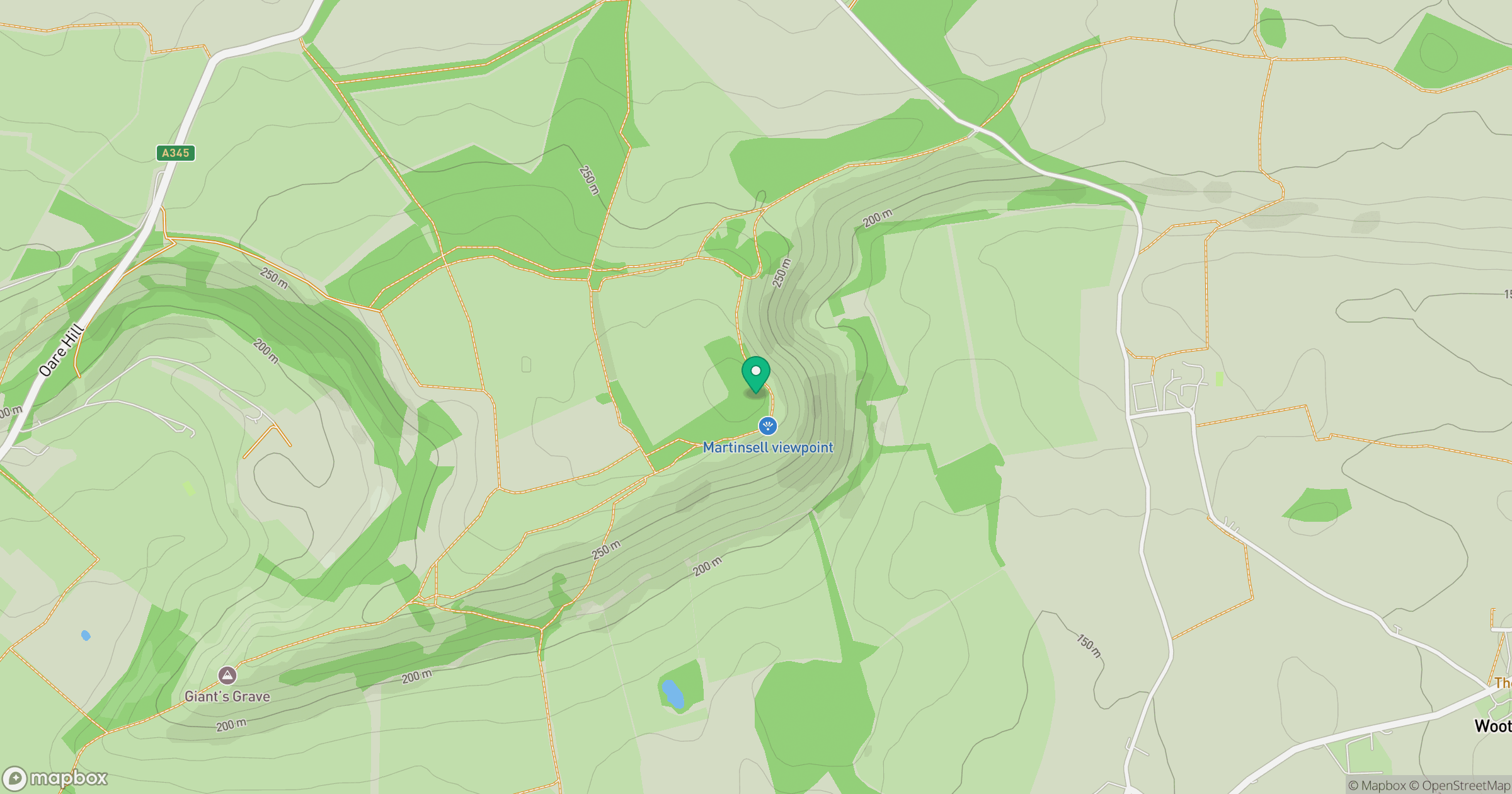
Grid reference: SU178638
View on OpenStreetMapOpens a map in a new tab, centred on the hill.
Nearby Hills
Worcestershire Beacon
425m
Glastonbury Tor
158m
Titterstone Clee Hill
533m
Leith Hill
294m

The Wrekin
407m
No comments yet. Be the first.