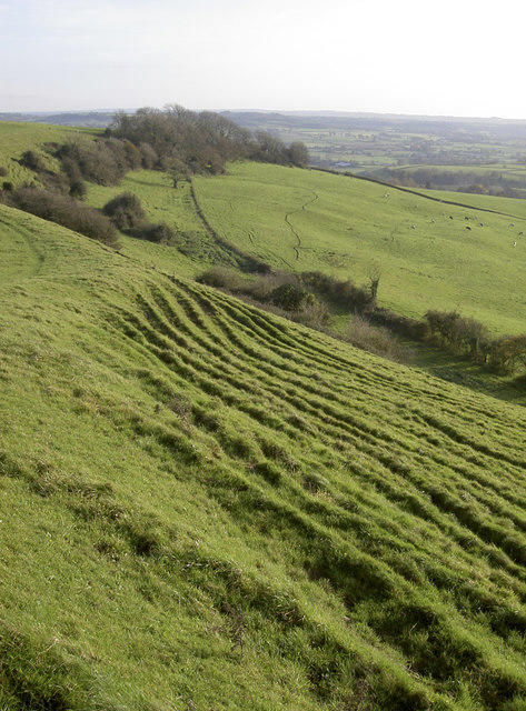
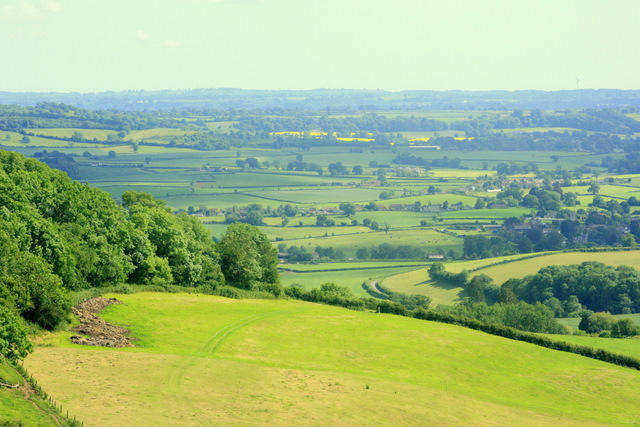
Maes Knoll

Maes Knoll

Maes Knoll Group Walks | Join a Walk

198m Elevation
28m Prominence
England Country

Join group walks, find walking companions and friends, or organise your own!

Classifications

Unclassified

Looking for walking companions?

Don't walk alone! Find friendly walkers to explore Maes Knoll together. Join scheduled group walks or start your own.

Elevation

198m

649 ft

Prominence

28m

Coordinates

51.3920, -2.5750

ST600660

OS Map

172 182

Explorer: 154 155

At the Summit

The summit is marked by a prominent earthen mound and offers a fantastic panoramic view, particularly of the surrounding Mendip Hills and the Glastonbury Tor in the distance.

Terrain & Geology

Grassy with some rocky sections making it easy on the legs but be careful of the occasional slick patch after rain.

Maes Knoll is primarily composed of limestone, particularly from the Carboniferous period, which lends the area its unique rocky outcrops and rich biodiversity. Look out for the intriguing fossils embedded in the rock if you fancy a little archaeology while hiking!

Views & Scenery

Glastonbury Tor, the Bristol Channel, and on a clear day, the South Wales mountains pop out on the horizon.

History & Heritage

Name Origin

The name 'Maes Knoll' derives from Welsh, meaning 'field mound'. It’s a fitting name for a hill that has witnessed countless sunrises.

Historical Significance

Historically significant for the magnificent views it provides. It's also believed to have been a site of ancient human activity, possibly linked to burial practices.

Popular Routes

Maes Knoll Circular Walk

Moderate

A delightful circular route that starts at the foot of the hill, meanders through picturesque pastures, and ascends to the summit for those panoramic views.

4.5 km 1.5 hours

Getting There & Facilities

Parking

There is a small parking area at the base of Maes Knoll beside the minor road leading into the village of Bishop Sutton.

Public Transport

While there’s no direct public transport to the hill, nearby villages are served by local bus services; consider a bit of a walk from Bishop Sutton.

Nearby Facilities

Amenities are quite basic; nearby Bishop Sutton offers a quaint cafe and public toilets in the village.

Safety Information

Known Hazards

  • Occasional slippery paths, uneven terrain, and sudden changes in weather. Watch your step, especially when rooting for the best photo op!

General Safety Tips

  • Check weather conditions before setting out
  • Carry appropriate clothing and equipment
  • Let someone know your planned route
  • Take a map, compass, and GPS device
  • Carry emergency supplies: food, water, first aid kit, torch

Find Walking Companions

Join friendly walkers exploring Maes Knoll and surrounding area

Can't find a walk? Organise your own!

Create a walk and let others join you. It's free and easy!

Hills

Some common questions about the hills answered

Are there group walks up Maes Knoll?

Many walkers use Walkmates to join or organise walks with others. You can check for group walks around Maes Knoll through the maps

Are there other walkers around Maes Knoll?

Activity varies by location and time, but Walkmates lets you see whether others have shared walks or shown interest in this area. Find other people through the walking friends search walking friends for Maes Knoll search or of course create your own walk for Maes Knoll

Can I organise a walk to Maes Knoll?

Yes. If there aren’t any walks listed already, you can create a walk and make it available for others to join.

If you're signed up to Walkmates, you can create a walk to Maes Knoll.

How do I find a walk up this hill?

There are often multiple ways to walk this hill, depending on experience and route preference. Walkmates helps you explore walks and routes that others have shared.

Can I suggest a new route up Maes Knoll?

Yes. You can suggest or create routes to share with others. Walkmates focuses on the social side of walking, so routes are used to help people organise walks and explore areas together, rather than as detailed navigation tools or route libraries.

Other uses really appreciate knowledgeable walkers sharing their routes. Share your favourite route to Maes Knoll here

The is an error or something incorrect about this hill. How do I let you know?

We always strive to keep the information on Walkmates as accurate as possible. If you find an error, please let us know through the contact form and we'll aim to correct it as quickly as possible