Circular
Locking Parklands–Hutton–Christon
PaulWalkmates
Walk organiser

Lynton Hill Group Walks | Join a Walk
Join group walks, find walking companions and friends, or organise your own!
Don't walk alone! Find friendly walkers to explore Lynton Hill together. Join scheduled group walks or start your own.
Elevation
318m
1,043 ft
Prominence
52m
Coordinates
51.2217, -3.8549
SS705485
OS Map
180
Explorer: OL9W
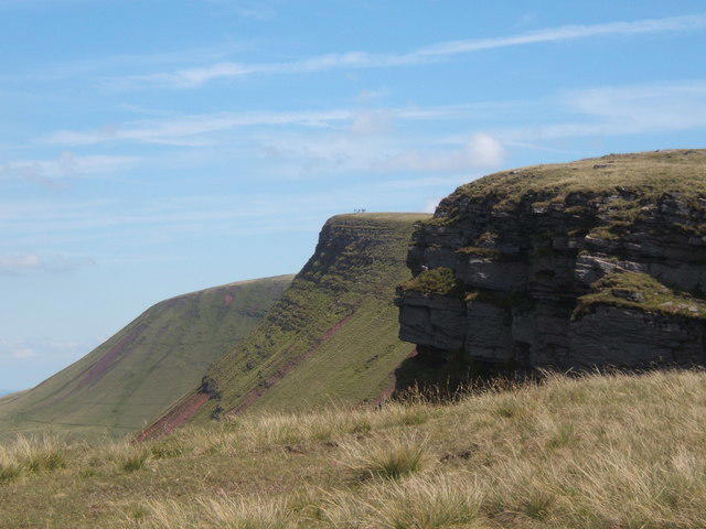
At the summit, there is a small stone cairn, perfect for a photo opportunity. Look closely, and you might even spot a few cheeky sheep resting nearby!
The hill is composed predominantly of sedimentary rocks, primarily from the Triassic period, including sandstone and mudstone. This geological makeup has shaped its rugged yet gentle slopes.
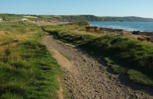
From the summit, you can catch glimpses of the Bristol Channel, the rolling hills of the Quantocks, and even the distant peaks of Exmoor on a clear day.
The name 'Lynton' is derived from the Old English words for 'water' and 'town' indicating the area’s historical connection to local water sources.
Lynton and its surroundings are rich in history, with ancient pathways once used by local miners and a significant role during the industrial revolution.
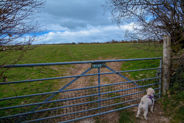
This delightful circular route offers an immersive experience through lush woodlands and open fields, with stunning views of the surrounding foothills.
There is limited parking available near the village of Lynton. Public car parks can be found at the bottom of the hill.
Regular bus services operate from Taunton to Lynton. Check local timetables for details.
Lynton has several cafes and pubs where you can refuel after your hike. Public toilets are available in the village.
Join friendly walkers exploring Lynton Hill and surrounding area
More walks starting close to this area

Create a walk and let others join you. It's free and easy!
Some common questions about the hills answered
Many walkers use Walkmates to join or organise walks with others. You can check for group walks around Lynton Hill through the maps
Activity varies by location and time, but Walkmates lets you see whether others have shared walks or shown interest in this area. Find other people through the walking friends search walking friends for Lynton Hill search or of course create your own walk for Lynton Hill
Yes. If there aren’t any walks listed already, you can create a walk and make it available for others to join.
If you're signed up to Walkmates, you can create a walk to Lynton Hill.
There are often multiple ways to walk this hill, depending on experience and route preference. Walkmates helps you explore walks and routes that others have shared.
Yes. You can suggest or create routes to share with others. Walkmates focuses on the social side of walking, so routes are used to help people organise walks and explore areas together, rather than as detailed navigation tools or route libraries.
Other uses really appreciate knowledgeable walkers sharing their routes. Share your favourite route to Lynton Hill here
We always strive to keep the information on Walkmates as accurate as possible. If you find an error, please let us know through the contact form and we'll aim to correct it as quickly as possible
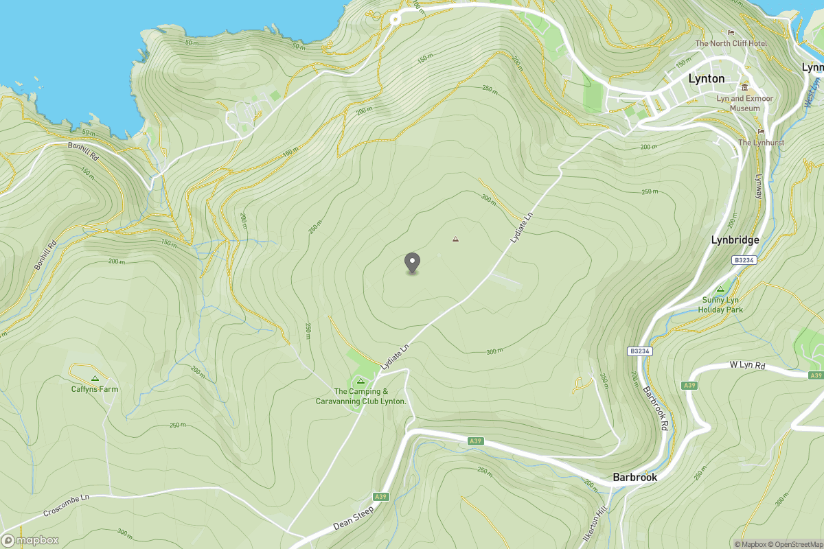
Grid Ref: SS705485
Dunkery Beacon
520m
Rhossili Down - The Beacon
193m
High Willhays
622m
Fan Gyhirych
726m
Fan Brycheiniog - Twr y Fan Foel
802m
+ 5 more nearby hills
Find more walking companions in the area
No comments yet. Be the first.