

Little Solsbury Hill
Good walks are even better shared.
ST7668 : A stone springboard?
Neil Owen Photo source
Overview
Little Solsbury Hill
Little Solsbury Hill rises above Batheaston, northeast of Bath, to 191.8 m. Its 67 m prominence makes it a Tump. DoBIH places the natural high point on unmarked rough grass at ST 76792 67954; the trig pillar is a nearby landmark. Primary hill record
Landscape and history
The hill is capped by oolitic limestone, with thin clay beds described in the National Trust heritage record. The open top overlooks the Avon valley and Bath. Iron Age earthworks and later field systems remain visible; treat them as protected archaeology. National Trust heritage record, Historic England
A complete return walk
Use Bathscape Walk 9, Little Solsbury Hill Circular, starting and finishing at Batheaston Riverside Gardens. Its riverside approach leads through Bathampton and Bailbrook before the steep hill climb, then returns through fields and Batheaston. The common-route outline above follows the full published circuit; use the linked guide’s map and junction directions. The optional Tin Church visit is extra. No scalar walking time or independently measured ascent is asserted. Walk guide
This is not an all-abilities gentle stroll: expect steep slopes, steps and mud. Avoid the riverside section during flooding and respect any closure. Keep dogs on a lead around livestock and ground-nesting birds.
Travel and access
Batheaston Riverside Gardens parking has a two-hour limit. Do not assume that is enough for the circuit; use public transport or a lawful longer-stay option. Shops and refreshments are in Batheaston, and toilet availability should be checked locally. Bath Riverline visitor information
Check current buses to Batheaston and the last return journey. On 18 October 2026, First Bus route 3 runs between Bath city centre and Bathford; its continuation to Weston/RUH is suspended until November 2026 because of the Manvers Street closure. First Bus service information
Sources checked on 18 October 2026. The walking guide carries April 2022 and September 2023 check dates; this source check is not an on-foot inspection of current conditions.
Explore routes near Little Solsbury Hill
Walks starting near this hill. Open a route to check its map, distance and full itinerary.
Bath Skyline hills and Rainbow Wood from central Bath
View route
Bitton to Kelston Bridge: Bristol and Bath Railway Path Return
View route
Conham River Park to Hanham Mills: River Avon towpath return
View route
Bristol Walk with Men Walking & Talking
View route
Route planning notes
These notes describe possible approaches. Check a route's map and access information when planning your walk.
Little Solsbury Hill circular from Batheaston Riverside Gardens
Start and finish at Batheaston Riverside Gardens car park on London Road East. Cross the Avon footbridge, follow the river to Bathampton Mill, then cross the toll bridge on foot and take the tunnel beneath it. Continue past the weir, meadows and rugby pitches; cross London Road West and climb via Eveleigh Avenue, Bailbrook Lane and the path beside the A46 to Swainswick Lane. Take the signed field path and steep climb to the hilltop trig. Follow the hill edge to the National Trust sign, descend through the gate and lanes, then follow the signed field paths and steps past the Church of the Good Shepherd to Batheaston High Street and the starting car park. Use Bathscape Walk 9 for junction detail. The 5.3 km total excludes the optional Tin Church diversion and any flood detour; the trig is a landmark rather than the exact natural high point. Source: https://www.bathscape.co.uk/activity/little-solsbury-hill-circular/
Make a day of it, together
Find someone to share the walk with, or organise a day out along a route you like.
Photo Gallery
View all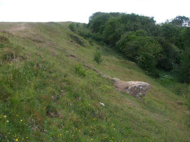 Photo could not load
ST7668 : A stone springboard?
Neil Owen
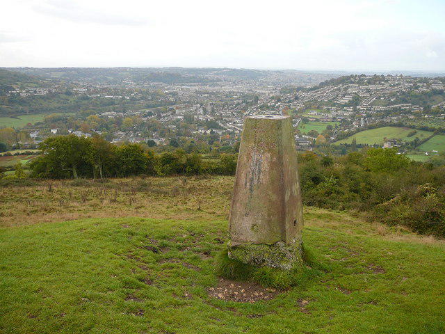 Photo could not load
ST7667 : Trig point on Little Solsbury Hill
Colin Park
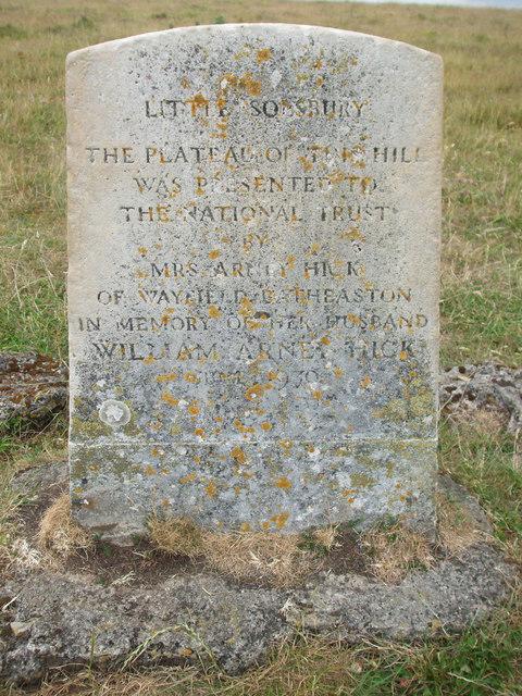 Photo could not load
ST7667 : Handing the hill over to the National Trust
Neil Owen
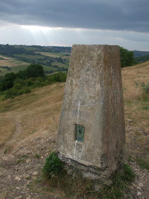 Photo could not load
ST7667 : Solsbury Hill trig pillar
Neil Owen
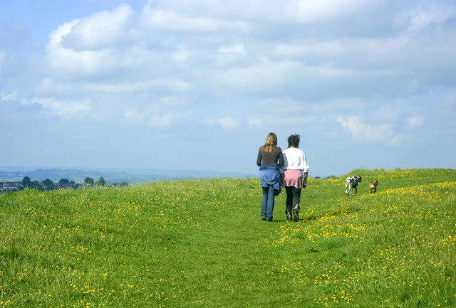 Photo could not load
ST7667 : 2008 : Walking the dogs on Little Solsbury Hill
Maurice Pullin
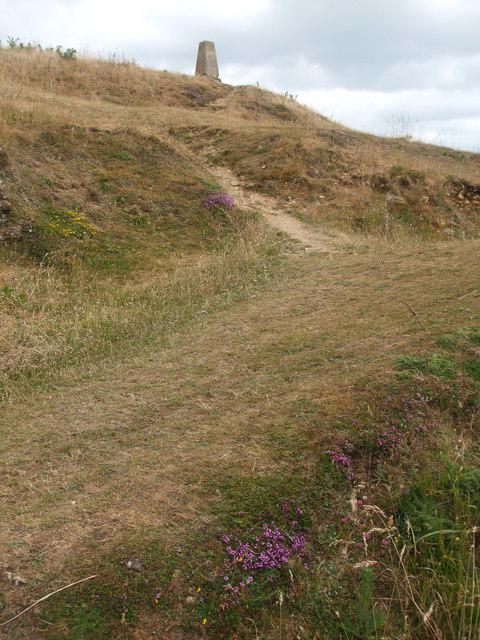 Photo could not load
ST7667 : Nearly at the top of the fort
Neil Owen
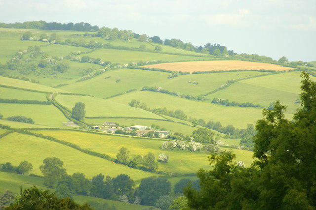 Photo could not load
ST7667 : 2008 : North West from Little Solsbury Hill
Maurice Pullin
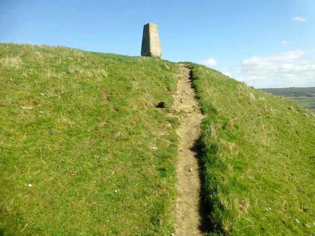 Photo could not load
ST7667 : Solsbury Hill Trig Point
Rude Health
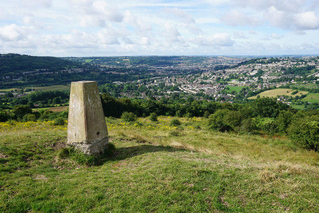 Photo could not load
ST7667 : Trig point on Little Solsbury Hill
Bill Boaden
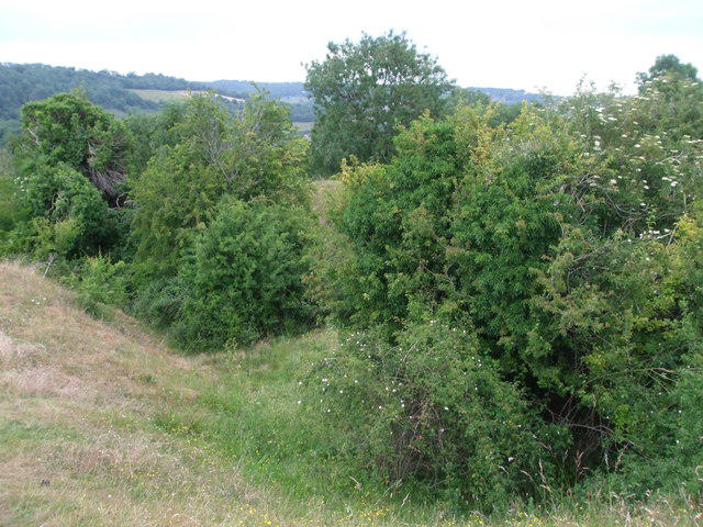
ST7668 : Making the trees grow
Neil Owen
Hill facts and local notes
Classifications
Elevation
192m
629 ft
Prominence
67m
Coordinates
51.4101, -2.3351
ST767679
OS Map
172
Explorer: 155
At the Summit
The natural high point is unmarked rough grass at ST 76792 67954, recorded at 191.8 m by DoBIH. The trig pillar is a nearby hilltop landmark, not the recorded summit feature. Earthworks of the Iron Age hillfort surround the plateau.
Terrain & Geology
Little Solsbury Hill is capped by oolitic limestone. National Trust’s heritage record also describes thin grey clay beds and springs below the summit scarp. Limestone grassland covers much of the hilltop.
Views & Scenery
Views over Batheaston, the Avon valley and Bath from the open hilltop, subject to visibility.
History & Heritage
Historical Significance
Little Solsbury Hill is the site of a scheduled Iron Age hillfort, with later field systems and agricultural use. It is also associated with Peter Gabriel’s song Solsbury Hill. The broad hillfort history is better established than precise occupation dates, which differ between visitor summaries.
Getting There & Facilities
Parking
The described loop starts at Batheaston Riverside Gardens car park on London Road East. Current Bath Riverline information gives a maximum stay of two hours; do not assume the whole walk will fit that restriction. Check signs and choose lawful longer-stay arrangements or public transport if needed. No free hill-base parking on Solsbury Hill Road is guaranteed.
Public Transport
Use current journey information for Batheaston, where the walk guide identifies a bus stop beside the start on London Road East. First Bus route 3 runs between Bath city centre and Bathford; its alert checked on 18 October 2026 says it is not continuing to Weston/RUH until November 2026 because of the Manvers Street closure. Recheck stops and return times before travelling.
Nearby Facilities
Batheaston offers shops and refreshments near the start; the route also passes Bathampton Mill. The guide lists toilets at the starting car park, but check current opening and charges. There are no visitor facilities established on the hilltop.
Safety Information
Known Hazards
- The ascent and descent can be very muddy and slippery; the route publisher advises against walking it after wet weather.
- Riverside sections may flood. Follow closures and do not enter floodwater; a detour changes the published route totals.
- Take care on narrow lanes, at road crossings and on the shared path used by cyclists.
- Livestock graze the hill and meadows; keep dogs under close control and on a lead around animals and ground-nesting birds.
General Safety Tips
- Check weather conditions before setting out
- Carry appropriate clothing and equipment
- Let someone know your planned route
- Take a map, compass, and GPS device
- Carry emergency supplies: food, water, first aid kit, torch
Hills
Some common questions about the hills answered
Are there group walks up Little Solsbury Hill?
Many walkers use Walkmates to join or organise walks with others. You can check for group walks around Little Solsbury Hill through the maps
Are there other walkers around Little Solsbury Hill?
Activity varies by location and time, but Walkmates lets you see whether others have shared walks or shown interest in this area. Find other people through the walking friends search walking friends for Little Solsbury Hill search or of course create your own walk for Little Solsbury Hill
Can I organise a walk to Little Solsbury Hill?
Yes. If there aren’t any walks listed already, you can create a walk and make it available for others to join.
If you're signed up to Walkmates, you can create a walk to Little Solsbury Hill.
How do I find a walk up this hill?
There are often multiple ways to walk this hill, depending on experience and route preference. Walkmates helps you explore walks and routes that others have shared.
Can I suggest a new route up Little Solsbury Hill?
Yes. You can suggest or create routes to share with others. Walkmates focuses on the social side of walking, so routes are used to help people organise walks and explore areas together, rather than as detailed navigation tools or route libraries.
Other uses really appreciate knowledgeable walkers sharing their routes. Share your favourite route to Little Solsbury Hill here
The is an error or something incorrect about this hill. How do I let you know?
We always strive to keep the information on Walkmates as accurate as possible. If you find an error, please let us know through the contact form and we'll aim to correct it as quickly as possible
Community Discussion
Comments
Location
View the hill's mapped position and surrounding paths.
Grid reference: ST767679
View on OpenStreetMapOpens a map in a new tab, centred on the hill.
Nearby Hills
Glastonbury Tor
158m
Worcestershire Beacon
425m
Titterstone Clee Hill
533m
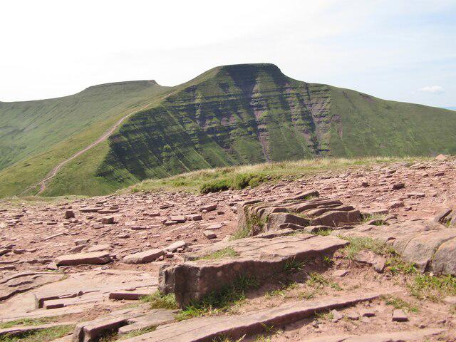
Cribyn
794m
Pen y Fan
886m
No comments yet. Be the first.