
Upland / Hill
Circular
Hard
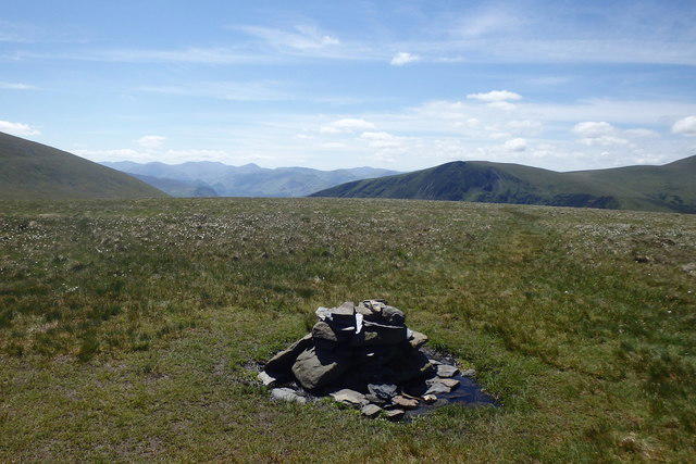
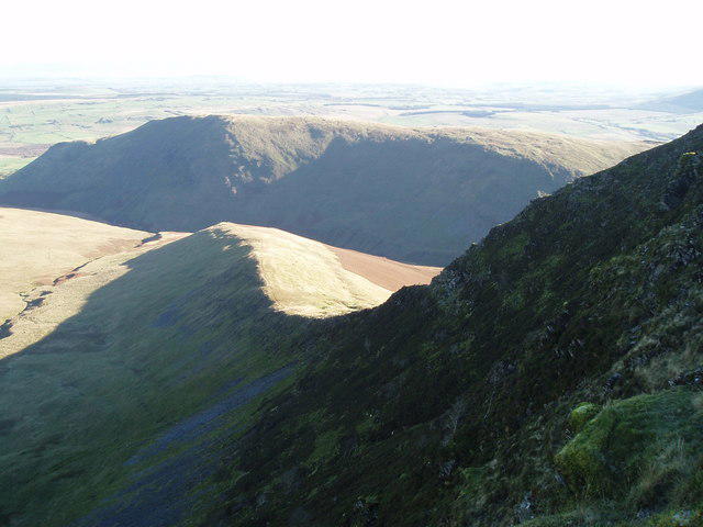
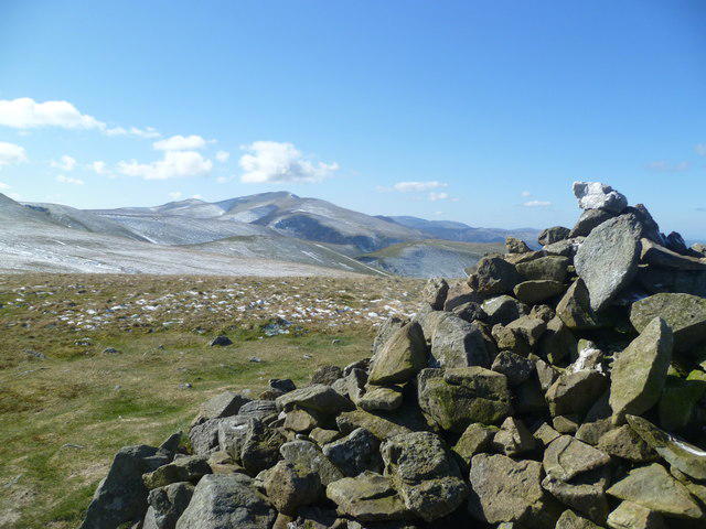
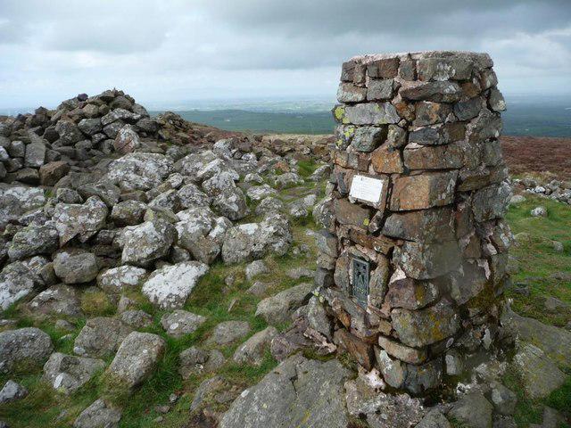
Mungrisdale Common and Bowscale Fell from Mosedale Valley Wainwright
PaulWalkmates
Walk organiser
No comments yet. Be the first.