Circular
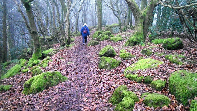
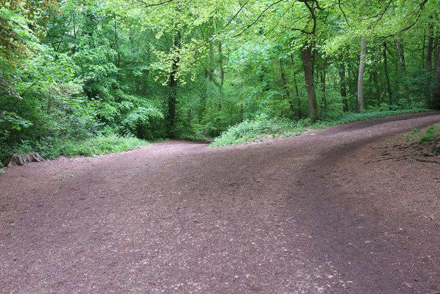
Lower Failand–Priors wood
PaulWalkmates
Walk organiser

Kymin Group Walks | Join a Walk
Join group walks, find walking companions and friends, or organise your own!
Don't walk alone! Find friendly walkers to explore Kymin together. Join scheduled group walks or start your own.
Elevation
256m
840 ft
Prominence
86m
Coordinates
51.8092, -2.6866
SO527125
OS Map
162
Explorer: OL14W
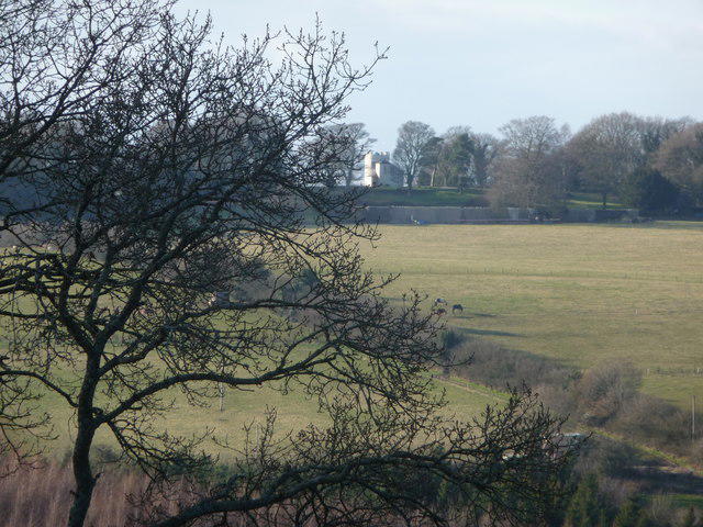
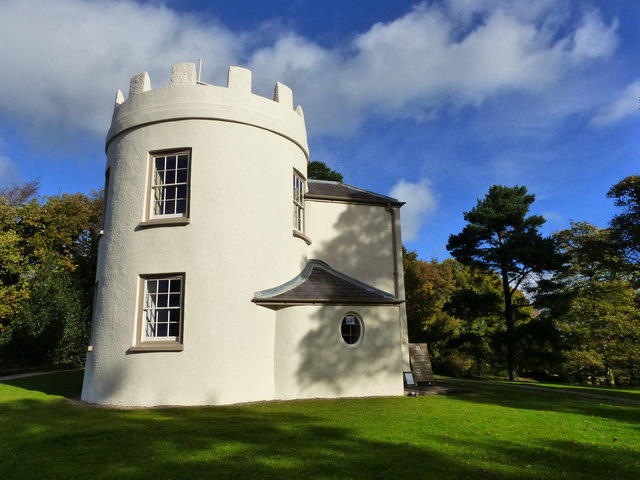
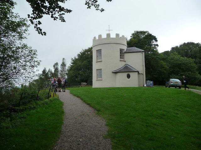
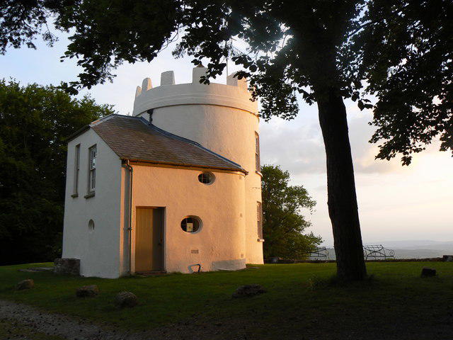
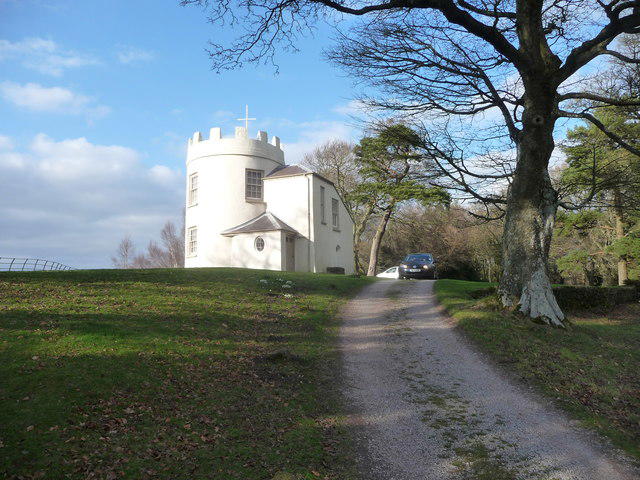
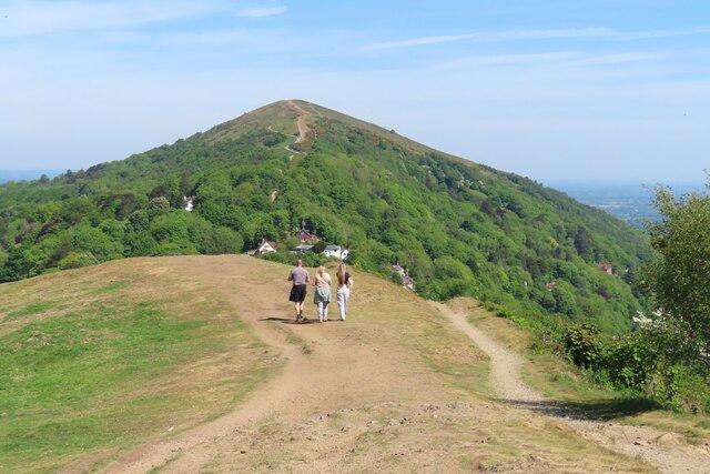
At the summit, you'll find a prominent circular stone tower, which is a former observatory built in the 19th century. There's also a delightful picnic area and impressive views.
Kymin is primarily composed of Old Red Sandstone, which gives the hill its distinctive reddish hue. The rock formations were laid down in the Devonian period, making it a key site for enthusiasts interested in geological history.
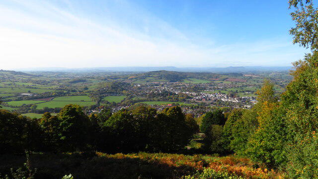
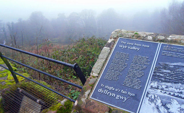
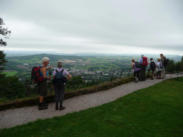
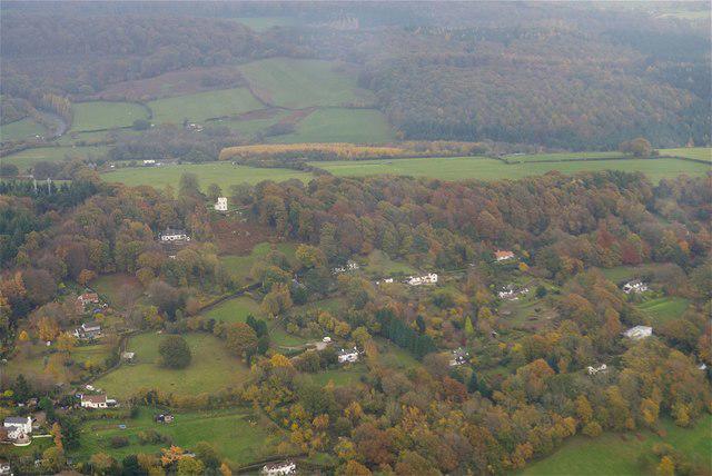
From the summit, hikers can enjoy panoramic views of the Wye Valley, the River Wye, and the vibrant landscapes of the Forest of Dean.
The name 'Kymin' is derived from the Welsh word 'cyn', meaning 'hill', so you could say it's aptly named!
The Kymin Observatory was built in the early 1800s by the Royal Engineers, making it a site of historical interest for those keen on Britain’s surveying and engineering history.
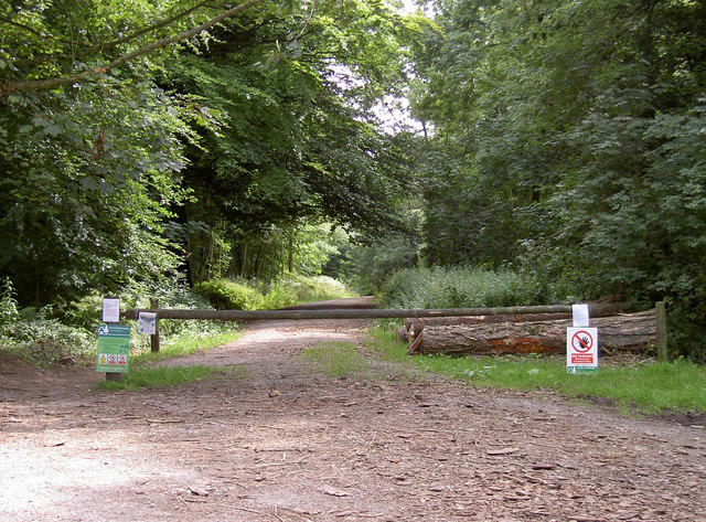
A circular route starting from the nearby village of Redbrook, taking in woodland trails and stunning views across the Wye Valley.
A picturesque path that connects various viewpoints, leading hikers through lush landscapes and alongside the River Wye.
There are several parking spots in Redbrook village, just a short walk from the trails leading to Kymin.
Regular bus services run to Redbrook from Monmouth and nearby towns.
There are public toilets in Redbrook village, and several cafés in Monmouth offering a warm meal and a hot beverage after your hike.
Join friendly walkers exploring Kymin and surrounding area
More walks starting close to this area
Create a walk and let others join you. It's free and easy!
Some common questions about the hills answered
Many walkers use Walkmates to join or organise walks with others. You can check for group walks around Kymin through the maps
Activity varies by location and time, but Walkmates lets you see whether others have shared walks or shown interest in this area. Find other people through the walking friends search walking friends for Kymin search or of course create your own walk for Kymin
Yes. If there aren’t any walks listed already, you can create a walk and make it available for others to join.
If you're signed up to Walkmates, you can create a walk to Kymin.
There are often multiple ways to walk this hill, depending on experience and route preference. Walkmates helps you explore walks and routes that others have shared.
Yes. You can suggest or create routes to share with others. Walkmates focuses on the social side of walking, so routes are used to help people organise walks and explore areas together, rather than as detailed navigation tools or route libraries.
Other uses really appreciate knowledgeable walkers sharing their routes. Share your favourite route to Kymin here
We always strive to keep the information on Walkmates as accurate as possible. If you find an error, please let us know through the contact form and we'll aim to correct it as quickly as possible
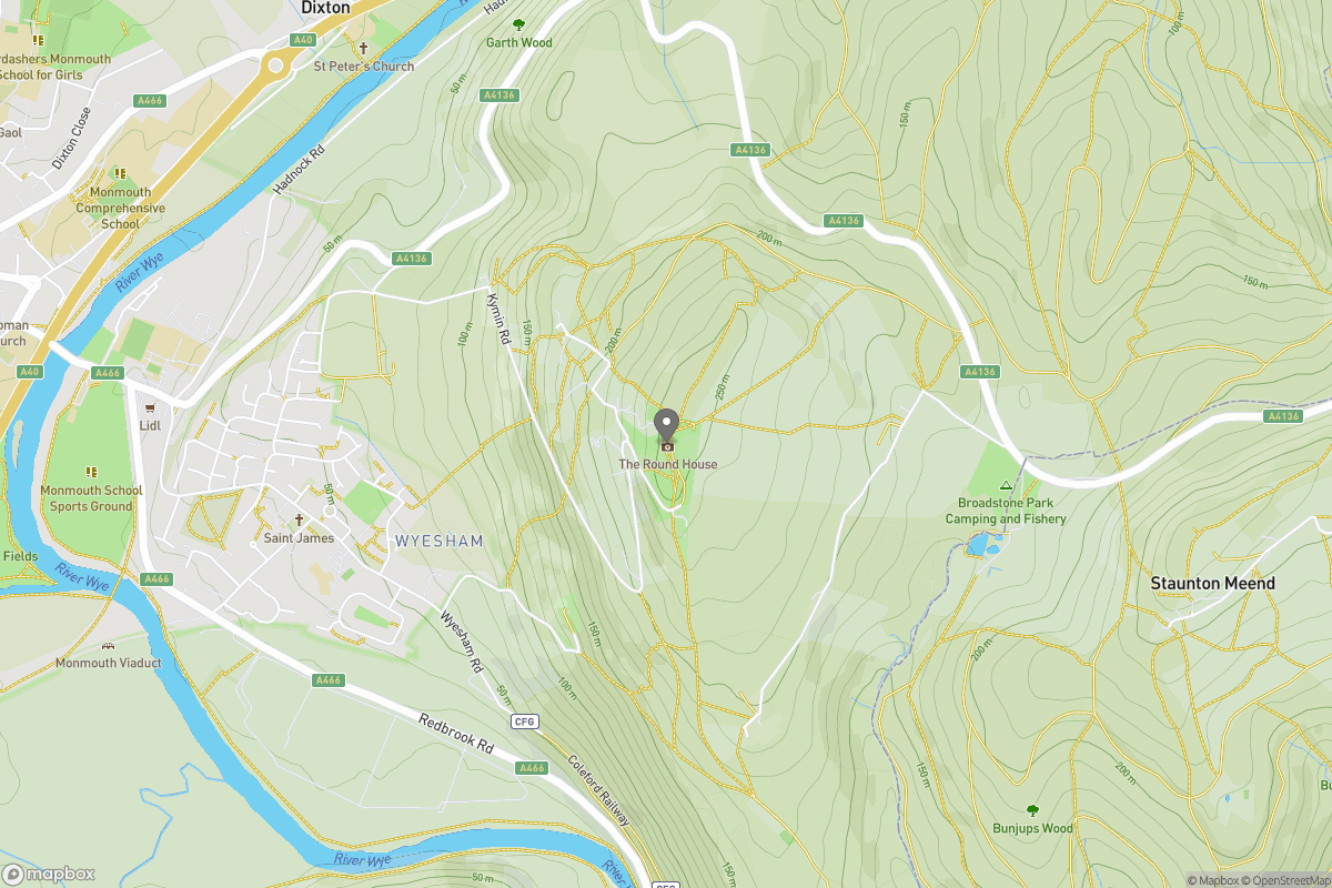
Grid Ref: SO527125
Worcestershire Beacon
425m
Titterstone Clee Hill
533m
Glastonbury Tor
158m
Cribyn
795m
Pen y Fan
886m
+ 5 more nearby hills
Find more walking companions in the area
No comments yet. Be the first.