

Kirkby Moor [Lowick High Common]
Good walks are even better shared.
SD2684 : On Kirkby Moor
Michael Graham Photo source
Explore routes near Kirkby Moor [Lowick High Common]
Walks starting near this hill. Open a route to check its map, distance and full itinerary.
Coniston to Tarn Hows: Monk Coniston Gardens and Woodland Circuit
View route
Tarn Hows Fast Route
View route
Great Carrs Halifax Wreckage from Wrynose Pass
View route
Sizergh: Park End Moss and Brigsteer Park Wood Circuit
View route
Route planning notes
These notes describe possible approaches. Check a route's map and access information when planning your walk.
Lowick Common Trail
A pleasant trail starting from Lowick village that meanders through scenic fields and moorland before ascending the gentle slopes of Kirkby Moor.
Brougham Hall Route
A longer hike that provides more panoramic views along the ascent, perfect for avid walkers looking for a bit more challenge.
Make a day of it, together
Find someone to share the walk with, or organise a day out along a route you like.
Photo Gallery
View all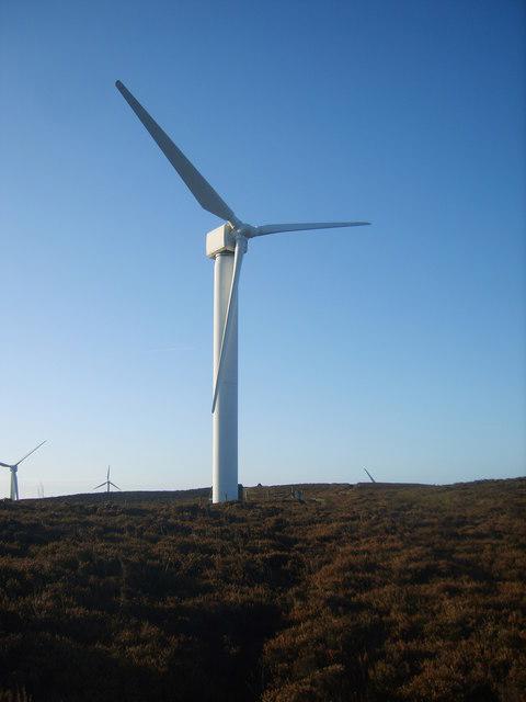 Photo could not load
SD2684 : On Kirkby Moor
Michael Graham
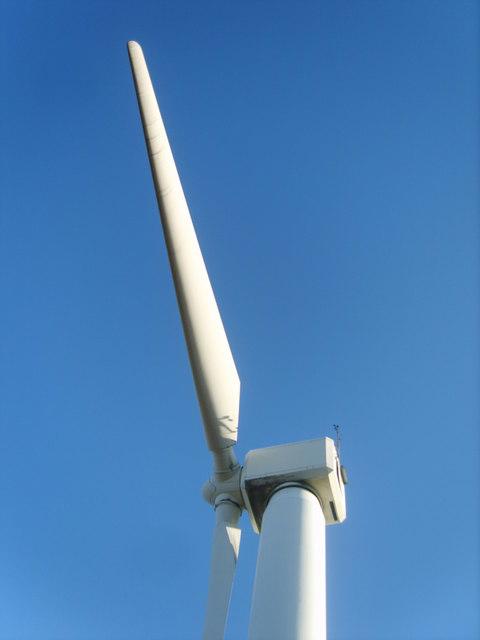 Photo could not load
SD2684 : Wind Turbine
Michael Graham
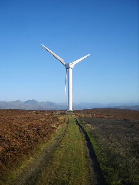 Photo could not load
SD2684 : On Kirkby Moor
Michael Graham
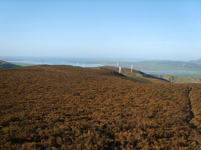 Photo could not load
SD2583 : Kirkby Moor
Michael Graham
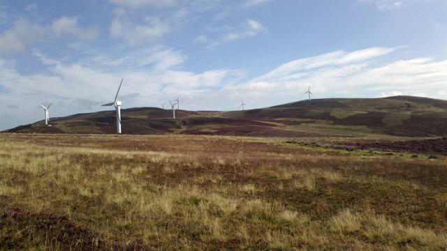 Photo could not load
SD2683 : Wind turbines on Kirkby Moor
Stephen Keenan
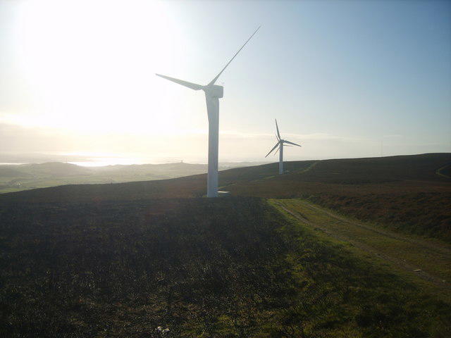 Photo could not load
SD2683 : On Kirkby Moor
Michael Graham
![SD2583 : Kirkby Moor [Lowick High Common]](https://cdn.walkmates.com/gallery-images/a10bb10fdfae47fda1af92813c9738f2.jpg) Photo could not load
Photo could not load
SD2583 : Kirkby Moor [Lowick High Common]
Rude Health
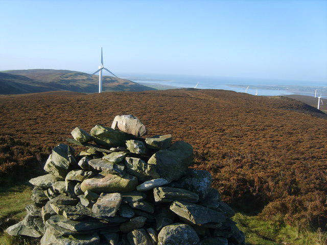 Photo could not load
SD2583 : From Kirkby Moor Summit
Michael Graham
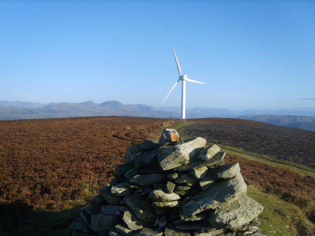 Photo could not load
SD2583 : Kirkby Moor Summit
Michael Graham
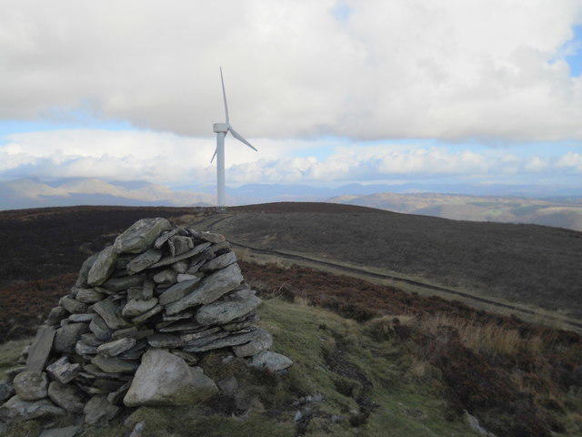 Photo could not load
SD2583 : Cairn on Kirkby Moor
David Brown
Hill facts and local notes
Classifications
Elevation
335m
1,099 ft
Prominence
231m
Coordinates
54.2456, -3.1373
SD259839
OS Map
96
Explorer: OL6S
At the Summit
The summit features a well-marked trig point, which serves as an excellent spot for photos and a great place to catch your breath (and maybe a snack).
Terrain & Geology
Kirkby Moor predominantly features limestone and sandstone, which contribute to its rugged terrain and unique geological formations. The area showcases some interesting karst topography as well.
Views & Scenery
From the summit, you can enjoy extensive views over to Coniston Old Man and to the rolling landscapes of the Lake District. On a clear day, the hills of the Yorkshire Dales may also be visible in the distance.
History & Heritage
Name Origin
The name 'Kirkby' originates from Old Norse, meaning 'village with a church'. The 'Moor' signifies the characteristic landscape found here.
Historical Significance
Kirkby Moor has a rich heritage related to the farming communities that have lived in the area for centuries.
Getting There & Facilities
Parking
Parking is available at the Lowick village hall, which is a short walk from the trailhead.
Public Transport
Regular buses run to Lowick from Ulverston and Coniston, making it accessible for those using public transport.
Nearby Facilities
There are no facilities on Kirkby Moor itself, but Ulverston, just a short drive away, offers cafes and public toilets.
Safety Information
Known Hazards
- Uneven rocky paths and potential for slippery conditions in wet weather. Take care near the boggy areas!
General Safety Tips
- Check weather conditions before setting out
- Carry appropriate clothing and equipment
- Let someone know your planned route
- Take a map, compass, and GPS device
- Carry emergency supplies: food, water, first aid kit, torch
Hills
Some common questions about the hills answered
Are there group walks up Kirkby Moor [Lowick High Common]?
Many walkers use Walkmates to join or organise walks with others. You can check for group walks around Kirkby Moor [Lowick High Common] through the maps
Are there other walkers around Kirkby Moor [Lowick High Common]?
Activity varies by location and time, but Walkmates lets you see whether others have shared walks or shown interest in this area. Find other people through the walking friends search walking friends for Kirkby Moor [Lowick High Common] search or of course create your own walk for Kirkby Moor [Lowick High Common]
Can I organise a walk to Kirkby Moor [Lowick High Common]?
Yes. If there aren’t any walks listed already, you can create a walk and make it available for others to join.
If you're signed up to Walkmates, you can create a walk to Kirkby Moor [Lowick High Common].
How do I find a walk up this hill?
There are often multiple ways to walk this hill, depending on experience and route preference. Walkmates helps you explore walks and routes that others have shared.
Can I suggest a new route up Kirkby Moor [Lowick High Common]?
Yes. You can suggest or create routes to share with others. Walkmates focuses on the social side of walking, so routes are used to help people organise walks and explore areas together, rather than as detailed navigation tools or route libraries.
Other uses really appreciate knowledgeable walkers sharing their routes. Share your favourite route to Kirkby Moor [Lowick High Common] here
The is an error or something incorrect about this hill. How do I let you know?
We always strive to keep the information on Walkmates as accurate as possible. If you find an error, please let us know through the contact form and we'll aim to correct it as quickly as possible
Community Discussion
Comments
Location
View the hill's mapped position and surrounding paths.
Grid reference: SD259839
View on OpenStreetMapOpens a map in a new tab, centred on the hill.
Nearby Hills
Dow Crag
778m
![The Old Man of Coniston [Coniston Old Man]](https://cdn.walkmates.com/gallery-images/0c140e91269b49abbee339fc41828d25.jpg)
The Old Man of Coniston [Coniston Old Man]
802m
Wetherlam
763m
Hard Knott
550m
Pike of Blisco
703m
No comments yet. Be the first.