

King Henry VIII Mound
Good walks are even better shared.
TQ1873 : The Rose Garden, Pembroke Lodge, Richmond Park
Chris Reynolds Photo source
Overview
King Henry VIII Mound: An Overview
Situated in the scenic Richmond Park, King Henry VIII Mound is an artificial hill that offers stunning vantage points of London’s iconic landmarks. While not towering in height, this mound boasts a charming blend of history and nature, making it a delightful destination for walkers, joggers, and those who simply wish to bask in the splendour of the Thames Valley.
Geology
The mound is primarily made of earth and grass, with a landscaping history that marries human artistry with nature's beauty. This is not a rocky peak like many others, but rather a carefully curated hill meant for enjoyment and contemplation.
Access and Facilities
To access the mound, the Pembroke Lodge car park is your best bet, providing easy parking with a relaxed stroll through the park. If you prefer public transport, Richmond Station is your gateway; it connects you to the heart of London with engagement from both trains and the Underground. Once you arrive, a leisurely 20-minute walk leads you through the beautiful landscapes of Richmond Park.
For refreshments and essential needs, Pembroke Lodge Café sits nearby, serving delightful sandwiches and cakes. You can always grab a caffeine fix before heading to the mound, as a caffeinated hiker is a happy hiker!
The Experience
At the summit, the grassy expanse welcomes you to relax and soak in the panoramic views towards St. Paul's Cathedral and beyond. This site is a perfect spot for family picnics, casual photography, and some well-deserved unwinding. Just remember to keep an eye out for other park-goers nearby!
Conclusion
While it may not be the highest hill on the block, King Henry VIII Mound encapsulates a unique slice of history, beauty, and tranquility. A visit here is sure to add a dash of royal charm to your outdoor adventures. So grab your walking shoes and prepare to take in those splendid views—Henry would surely approve!
Whether you’re a local or a visitor, this mound caters to everyone—just don’t forget your camera, and perhaps consider bringing a friend for good measure! Stay safe and enjoy your outing!
Explore routes near King Henry VIII Mound
Walks starting near this hill. Open a route to check its map, distance and full itinerary.
Richmond Park - The Tamsin Trail
View route
Bushy Park Ponds, Woodland Gardens and Diana Fountain
View route
Osterley Park: Nine Acre and the lakes
View route
Nonsuch Park: woodland, mansion and the former palace site
View route
Route planning notes
These notes describe possible approaches. Check a route's map and access information when planning your walk.
Approach from Richmond Park
A gentle stroll through Richmond Park leads you to the mound, where you can enjoy the historical atmosphere and beautiful views.
Make a day of it, together
Find someone to share the walk with, or organise a day out along a route you like.
Photo Gallery
View all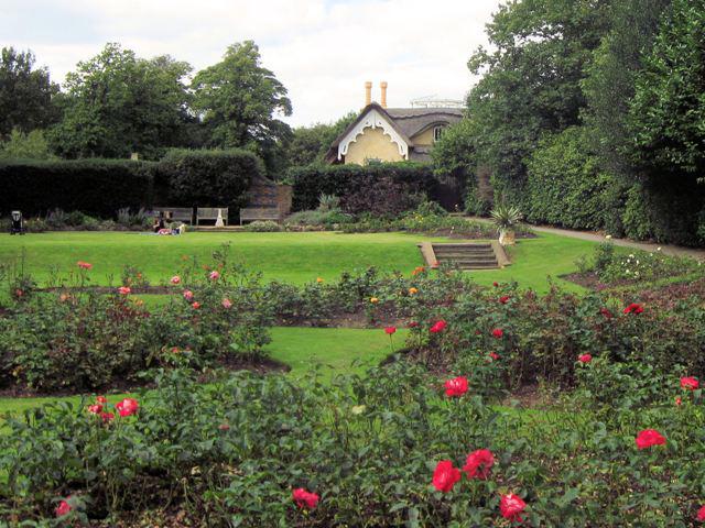 Photo could not load
TQ1873 : The Rose Garden, Pembroke Lodge, Richmond Park
Chris Reynolds
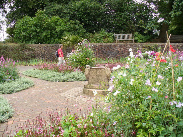 Photo could not load
TQ1873 : Pembroke Lodge Gardens
Colin Smith
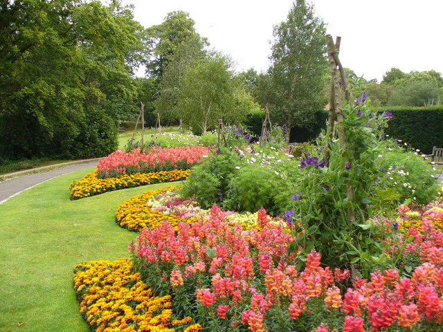 Photo could not load
TQ1873 : Flower Beds by Pembroke Lodge
Colin Smith
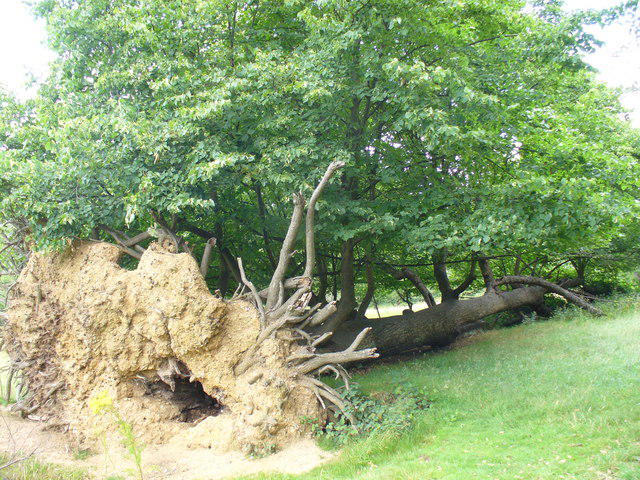 Photo could not load
TQ1873 : Life After Death?
Colin Smith
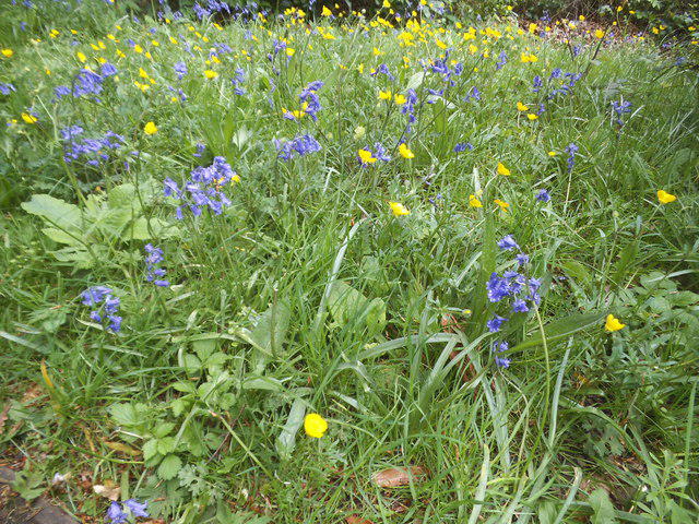 Photo could not load
TQ1873 : Bluebells and buttercups by Pembroke Lodge
David Howard
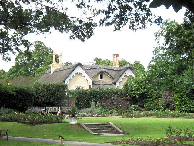 Photo could not load
TQ1873 : The Cottage, Pembroke Lodge, Richmond Park
Chris Reynolds
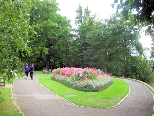 Photo could not load
TQ1873 : The Oval Flower Bed, Pembroke Lodge, Richmond Park
Chris Reynolds
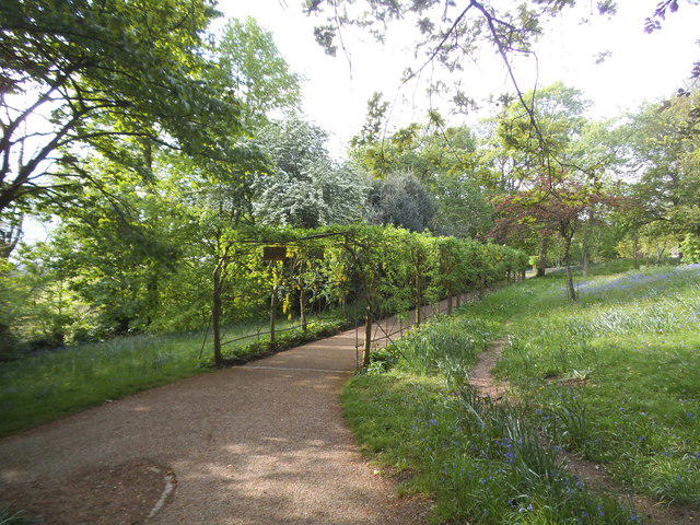 Photo could not load
TQ1873 : Trellis walkway on Richmond Park
David Howard
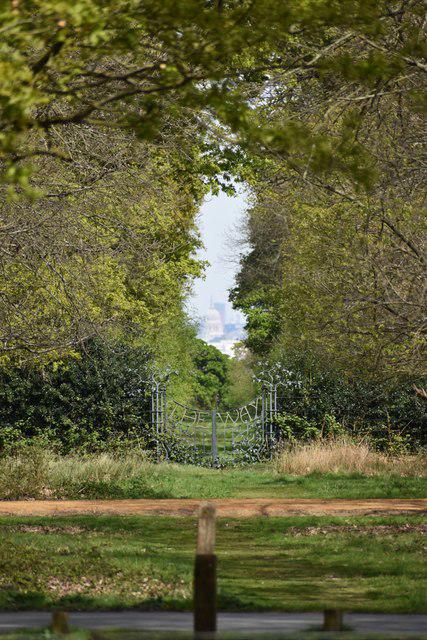 Photo could not load
TQ1873 : View through the trees to St Paul's Cathedral
David Martin
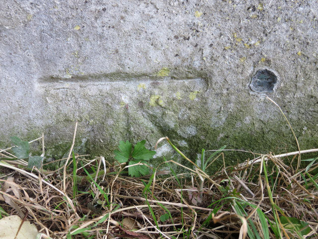
TQ1873 : Bench mark and bolt near Pembroke Lodge
John S Turner
Hill facts and local notes
Classifications
Elevation
58m
190 ft
Prominence
45m
Coordinates
51.4449, -0.2947
TQ186731
OS Map
176
Explorer: 161
At the Summit
At the summit, you will find a well-maintained grassy area with a notable viewpoint but lacking a formal trig point or cairn.
Terrain & Geology
The mound is primarily composed of earth and grass, with a structure created sub-urban landscaping. It's an artificial mount that has been landscaped over centuries.
Views & Scenery
Panoramic views of St. Paul's Cathedral, the City of London skyline, and on clear days, the Thames winding through the city.
History & Heritage
Name Origin
The mound is named after King Henry VIII, reputedly linked to the hunting grounds of the Tudor monarch.
Historical Significance
Historically a viewpoint, it holds importance as a location associated with Tudor royalty and has become a loved site for Londoners and tourists alike.
Getting There & Facilities
Parking
There is parking available at Richmond Park’s Pembroke Lodge car park, which is approximately 1 km away from the mound.
Public Transport
Richmond Station is the nearest transport hub, served by both train and London Underground. From the station, it’s a 20-minute walk.
Nearby Facilities
There are several cafes nearby within Richmond Park and public toilets at Pembroke Lodge.
Safety Information
Known Hazards
- Watch out for busy park traffic in the vicinity, as the area around the mound can attract a good number of cyclists and pedestrians.
General Safety Tips
- Check weather conditions before setting out
- Carry appropriate clothing and equipment
- Let someone know your planned route
- Take a map, compass, and GPS device
- Carry emergency supplies: food, water, first aid kit, torch
Hills
Some common questions about the hills answered
Are there group walks up King Henry VIII Mound?
Many walkers use Walkmates to join or organise walks with others. You can check for group walks around King Henry VIII Mound through the maps
Are there other walkers around King Henry VIII Mound?
Activity varies by location and time, but Walkmates lets you see whether others have shared walks or shown interest in this area. Find other people through the walking friends search walking friends for King Henry VIII Mound search or of course create your own walk for King Henry VIII Mound
Can I organise a walk to King Henry VIII Mound?
Yes. If there aren’t any walks listed already, you can create a walk and make it available for others to join.
If you're signed up to Walkmates, you can create a walk to King Henry VIII Mound.
How do I find a walk up this hill?
There are often multiple ways to walk this hill, depending on experience and route preference. Walkmates helps you explore walks and routes that others have shared.
Can I suggest a new route up King Henry VIII Mound?
Yes. You can suggest or create routes to share with others. Walkmates focuses on the social side of walking, so routes are used to help people organise walks and explore areas together, rather than as detailed navigation tools or route libraries.
Other uses really appreciate knowledgeable walkers sharing their routes. Share your favourite route to King Henry VIII Mound here
The is an error or something incorrect about this hill. How do I let you know?
We always strive to keep the information on Walkmates as accurate as possible. If you find an error, please let us know through the contact form and we'll aim to correct it as quickly as possible
Community Discussion
Comments
Location
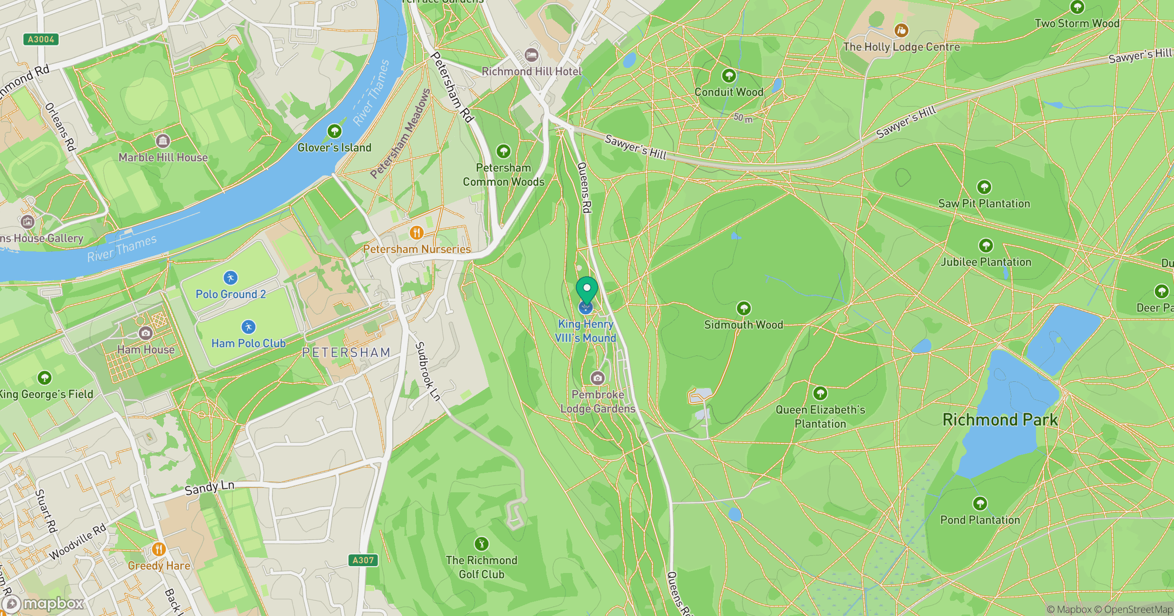
Grid reference: TQ186731
View on OpenStreetMapOpens a map in a new tab, centred on the hill.
Nearby Hills
Leith Hill
294m
Ditchling Beacon
248m
Worcestershire Beacon
425m
Glastonbury Tor
158m
The Roaches
505m
No comments yet. Be the first.