
Upland / Hill
Circular
Easy
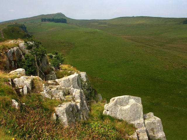
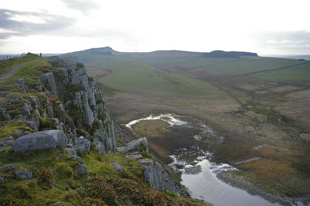
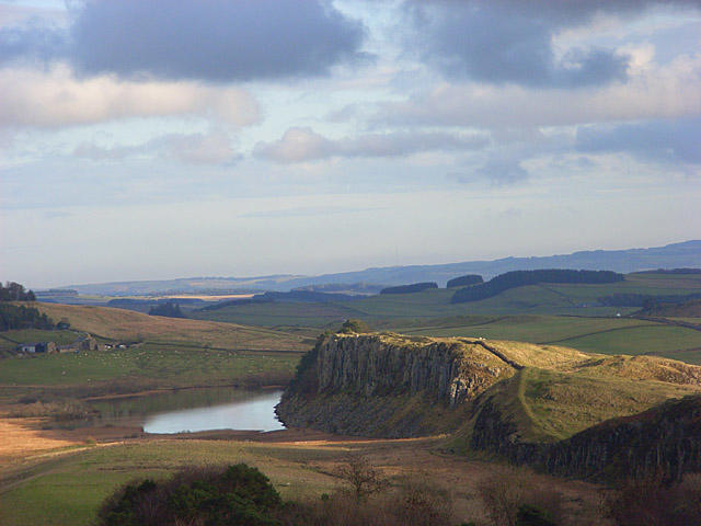
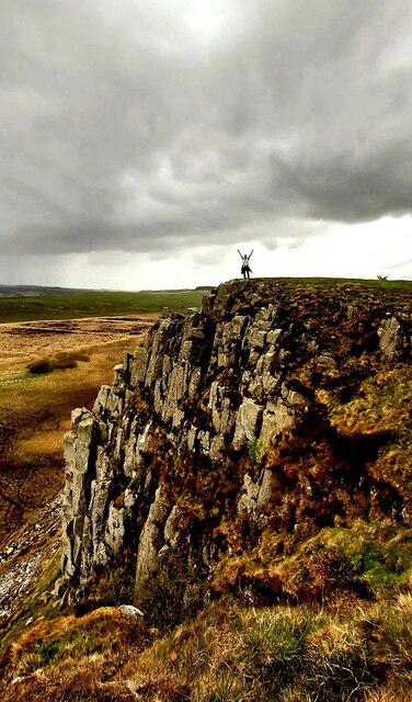
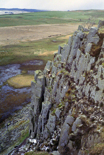
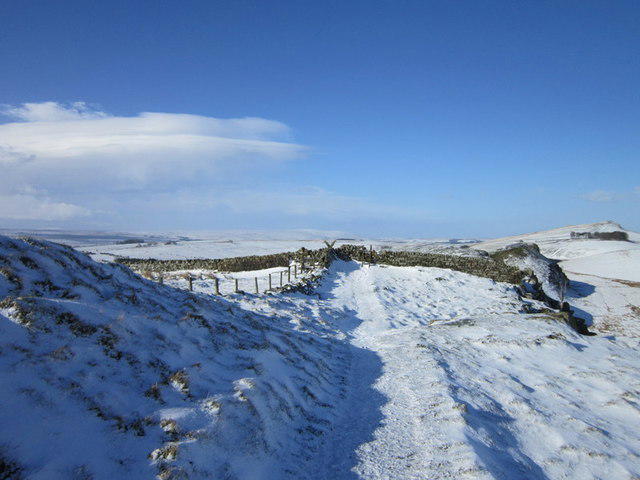
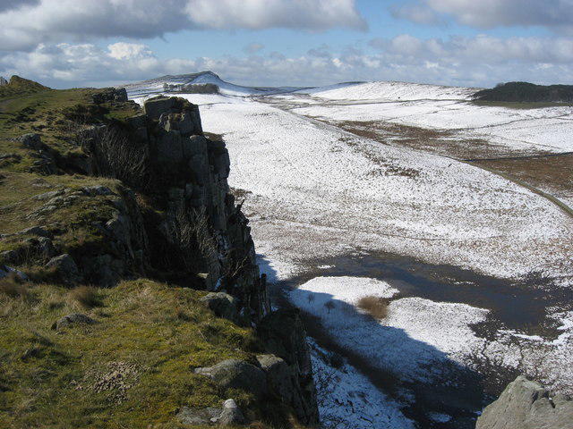
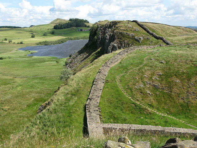
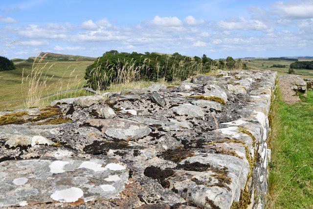
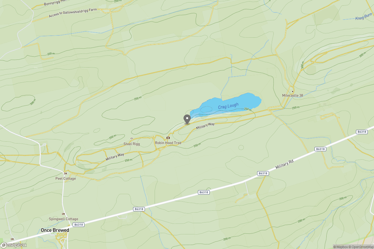
Queens Crags from Housesteads inc Cuddy's Crags
PaulTime
Walk organiser

No comments yet. Be the first.