

Heddon's Mouth Hill
Good walks are even better shared.
SS6449 : Trentishoe : Grassy Field & Cows
Lewis Clarke Photo source
Overview
Heddon's Mouth Hill
Nestled within the stunning Exmoor National Park, Heddon's Mouth Hill is a hidden gem for hikers and nature lovers alike. Standing at an elevation of 150 meters, it might not be a giant among the peaks, but its character and views are certainly towering!
Geology
Heddon's Mouth Hill boasts rocky outcrops and ancient Devonian sandstone, formed from marine sediments. The area teems with geological interest, giving a unique insight into the Earth's history. So grab your geology hammer—just kidding, leave that at home unless you really want to break something!
Routes
The most popular route to the summit is the Heddon's Mouth Trail, which leads you through lush woodlands along the river. Round-trip covers about 6 km and takes roughly 2.5 hours. Suitable for most hikers, moderate fitness is recommended, particularly for those who might be overly attached to their couches.
Summit Features
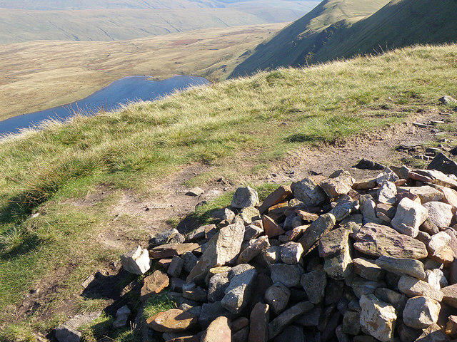
At the peak, you'll find a modest stone cairn. It's nothing too flashy, but the panoramic views are what really steal the show. From here, you can spot the rugged North Devon coastline and the sweeping moors of Exmoor, proving that sometimes, it’s the journey—and the view—that matters.
Access
For those driving, the nearest parking is at Heddon's Mouth, with a surprisingly limited number of spaces. Arrive early! Public transport is available from Lynton to Lynmouth, and a quick walk will lead you to the trailhead. The quaint village of Lynmouth offers nearby facilities, including a café perfect for a post-hike treat.
Facilities
After your hike, don’t forget to visit the local café for a well-deserved cream tea—complete with clotted cream, of course. Public toilets are also available in the village.
Hazards
Be mindful of rocky terrains and potential muddy spots, especially after rain. And keep an eye out for local wildlife! Sheep are common in the area and might sheepishly pass by, causing you to giggle or groan at their woolly antics.
Conclusion
Whether you're looking for a peaceful retreat into nature or wanting to stretch your legs and enjoy breathtaking views, Heddon's Mouth Hill offers a delightful day out. Grab your boots, pack your snacks, and get ready for an adventure that’s sure to leave you with a smile!
Happy hiking!
Explore routes near Heddon's Mouth Hill
Walks starting near this hill. Open a route to check its map, distance and full itinerary.
Lynmouth, Watersmeet and Ash Bridge woodland circuit
View route
Braunton Walk with Men Walking & Talking
View route
Dunkery Beacon sunset ranger walk
View route
Bossington Hill dusk and dark-sky walk
View route
Route planning notes
These notes describe possible approaches. Check a route's map and access information when planning your walk.
Heddon's Mouth Trail
A scenic route following the river along Heddon’s Mouth before the ascent up the hill, offering beautiful views of the gorge and surrounding woodlands.
Make a day of it, together
Find someone to share the walk with, or organise a day out along a route you like.
Photo Gallery
View all Photo could not load
SS6449 : Trentishoe : Grassy Field & Cows
Lewis Clarke
 Photo could not load
SS6449 : South West Coast Path, near Trentishoe
Roger Cornfoot
 Photo could not load
SS6449 : Heddon Valley Walk 37: Heather everywhere, bell heather 'Erica cinerea'
Michael Garlick
 Photo could not load
SS6449 : Footpaths above East Cleave
Bill Boaden
 Photo could not load
SS6449 : Trentishoe : Grassy Field & Cattle
Lewis Clarke
 Photo could not load
SS6549 : Sheep above Heddon's Mouth Cleave
Bill Boaden
 Photo could not load
SS6449 : Trentishoe : Footpath
Lewis Clarke
 Photo could not load
SS6549 : Trentishoe : Footpath
Lewis Clarke
 Photo could not load
SS6549 : Heddon Valley Walk 33: Looking back along the track
Michael Garlick

SS6449 : Heather moorland, above East Cleave
Roger Cornfoot
Hill facts and local notes
Classifications
Elevation
248m
814 ft
Prominence
36m
Coordinates
51.2254, -3.9341
SS650491
OS Map
180
Explorer: OL9W
At the Summit
The summit of Heddon's Mouth Hill features a small stone cairn, with stunning views over the Bristol Channel and the rolling hills of Exmoor. It's a perfect spot to catch your breath and take in the scenery.
Terrain & Geology
Heddon's Mouth Hill is primarily composed of Devonian sandstone, which gives rise to its rugged cliffs and deep gorges. This ancient sedimentary rock, formed from the remains of marine organisms, provides a fascinating geological history that can be seen throughout the area.
Views & Scenery
From the summit, hikers can see the rugged coastline of the North Devon coast, the sweeping moors of Exmoor, and the sprawling expanse of the Bristol Channel. A sight that makes the effort worth every step!
History & Heritage
Name Origin
The name 'Heddon's Mouth' is derived from the River Heddon, which flows through the gorge before meeting the sea, with 'mouth' referring to the river's confluence with the ocean.
Historical Significance
This area has a rich history, being frequented by smugglers in the 18th century, and it’s part of the Exmoor’s unique cultural heritage.
Getting There & Facilities
Parking
There is a small car park at Heddon's Mouth (SS646475), which can accommodate about 10 vehicles. Arrive early to secure a spot as it fills up quickly during peak seasons.
Public Transport
The nearest bus service operates from Lynton to Lynmouth. From there, it’s a short walk to the trailhead.
Nearby Facilities
A café is located close to the trailhead in Lynmouth, along with toilet facilities. Make sure to grab a cream tea—it’s worth the calories!
Safety Information
Known Hazards
- Care should be taken on rocky sections and muddy patches, especially after rainfall. Wildlife, including sheep and the occasional deer, may cross your path unexpectedly. Always keep a watchful eye!
General Safety Tips
- Check weather conditions before setting out
- Carry appropriate clothing and equipment
- Let someone know your planned route
- Take a map, compass, and GPS device
- Carry emergency supplies: food, water, first aid kit, torch
Hills
Some common questions about the hills answered
Are there group walks up Heddon's Mouth Hill?
Many walkers use Walkmates to join or organise walks with others. You can check for group walks around Heddon's Mouth Hill through the maps
Are there other walkers around Heddon's Mouth Hill?
Activity varies by location and time, but Walkmates lets you see whether others have shared walks or shown interest in this area. Find other people through the walking friends search walking friends for Heddon's Mouth Hill search or of course create your own walk for Heddon's Mouth Hill
Can I organise a walk to Heddon's Mouth Hill?
Yes. If there aren’t any walks listed already, you can create a walk and make it available for others to join.
If you're signed up to Walkmates, you can create a walk to Heddon's Mouth Hill.
How do I find a walk up this hill?
There are often multiple ways to walk this hill, depending on experience and route preference. Walkmates helps you explore walks and routes that others have shared.
Can I suggest a new route up Heddon's Mouth Hill?
Yes. You can suggest or create routes to share with others. Walkmates focuses on the social side of walking, so routes are used to help people organise walks and explore areas together, rather than as detailed navigation tools or route libraries.
Other uses really appreciate knowledgeable walkers sharing their routes. Share your favourite route to Heddon's Mouth Hill here
The is an error or something incorrect about this hill. How do I let you know?
We always strive to keep the information on Walkmates as accurate as possible. If you find an error, please let us know through the contact form and we'll aim to correct it as quickly as possible
Community Discussion
Comments
Location
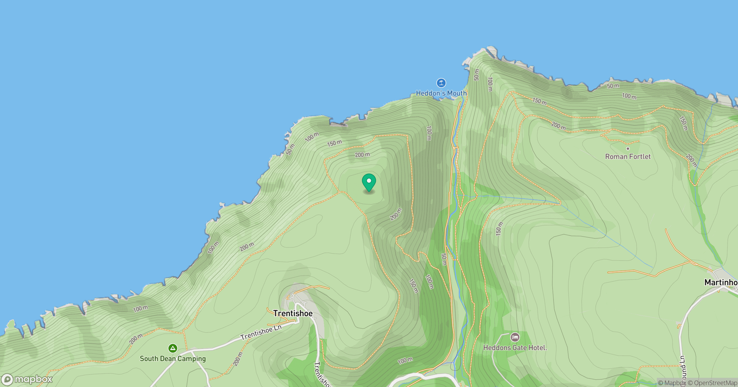
Grid reference: SS650491
View on OpenStreetMapOpens a map in a new tab, centred on the hill.
Nearby Hills
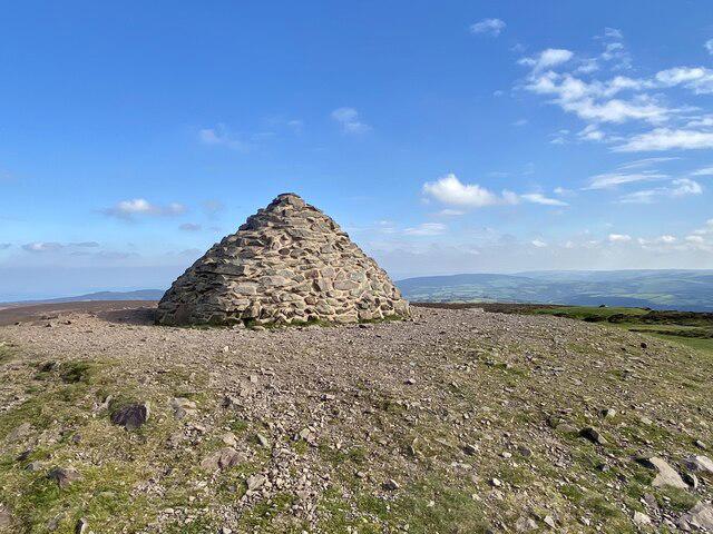
Dunkery Beacon
520m
Rhossili Down - The Beacon
193m
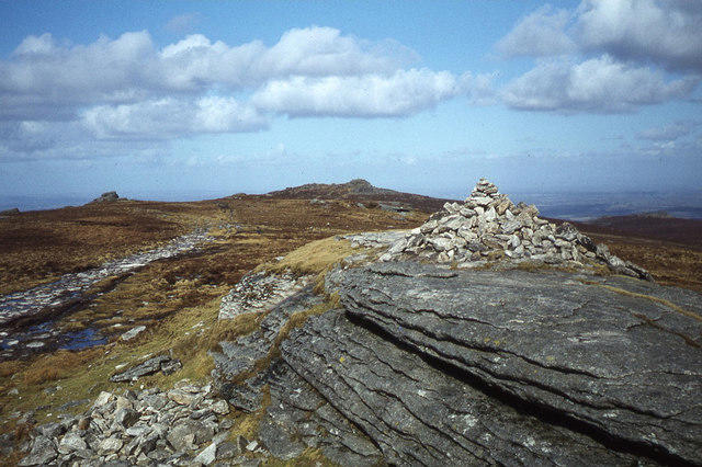
High Willhays
622m
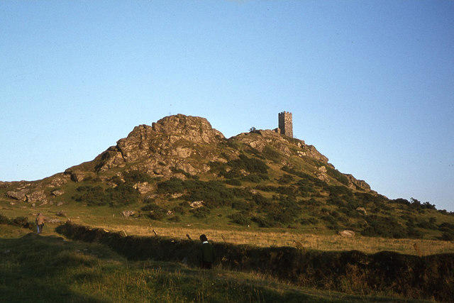
Brent Tor
334m
Fan Brycheiniog - Twr y Fan Foel
802m
No comments yet. Be the first.