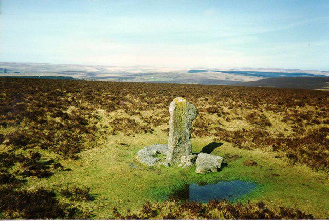
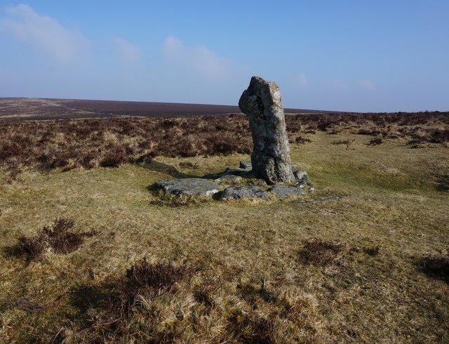
![Hameldown [Hamel Down]](https://cdn.walkmates.com/hill-photos/hill-placeholder.jpg)
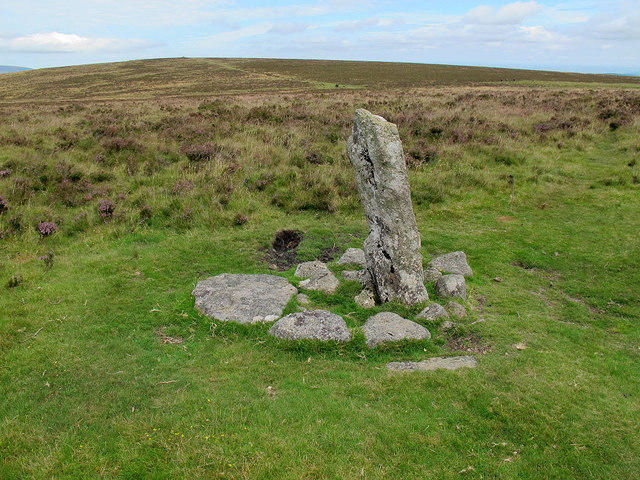

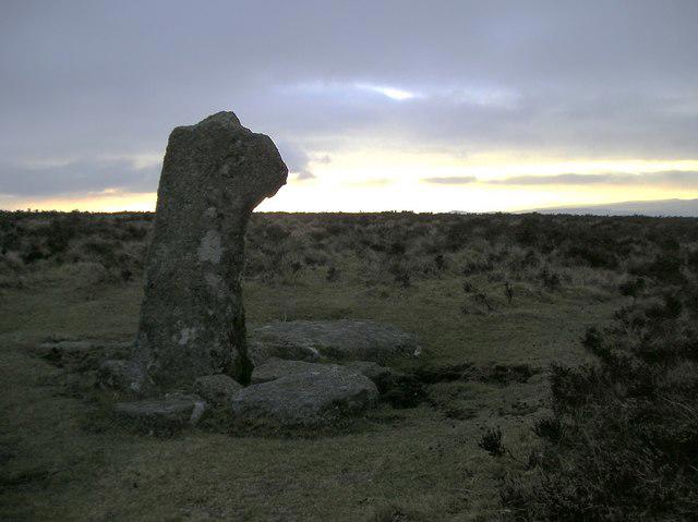
![SX7079 : Hameldown [Hamel Down]](https://cdn.walkmates.com/gallery-images/81ac120c6c814e3cb76a2bf38a4988da.jpg)
Coastal
Circular
Medium
Widemouth Bay to Bude Coastal and Canal
PaulWalkmates
Walk organiser
![Hameldown [Hamel Down] location map](https://cdn.walkmates.com/hill-maps/hameldown-[hamel-down].png)
No comments yet. Be the first.