

Great Ayton Moor
Good walks are even better shared.
NZ5912 : Old Boundary Marker
Mike Rayner Photo source
Overview
Great Ayton Moor
Introduction
Located in the picturesque North York Moors, Great Ayton Moor is a favourite among hikers and outdoor enthusiasts alike. With its rolling hills and scenic vistas, it's a place where adventure meets tranquillity.
Geology
Great Ayton Moor's terrain features stunning sandstone and clay layers, reminiscent of nature's handiwork long before we ever laced up our hiking boots. The moorland's geology not only shapes the landscape but also supports a diverse range of flora and fauna.
Route Options
- Great Ayton to Captain Cook's Monument: This 5 km stretch is both inviting and somewhat invigorating. Not only do you get to trek through beautiful woodlands, but the sense of accomplishing a walk worthy of Captain Cook himself is just the cherry on top.
- Lordstones Country Park Loop: A pleasant 8 km circular route that serves as a perfect introduction to the moors, featuring diverse scenery that'll have your camera working overtime.
Summit Features
Upon reaching the summit, you'll be greeted by a friendly cairn (who possibly harbours a few secrets!) and views that feel like they stretch all the way to the heavens.
Terrain Type
Prepare for a delightful mixed bag of terrain: grassy expanses, rocky outcrops, and patches that might challenge your balance due to occasional bogginess. Always keep your wits about you!
Views
The views from Great Ayton Moor offer the opportunity to spot landmarks of great importance. Take a moment to appreciate the stunning valleys and distant hills. Autumn and spring are especially magical times to be out and about, each season painting the landscape in different hues.
Hazards
While adventure awaits, be mindful of potential hazards. Sudden weather changes can bring thick fog faster than you can say 'pass the sandwiches.' And, of course, those rocky paths can be a bit slippery.
Nearby Summits
Feeling ambitious? The towering Roseberry Topping is just a hop and skip away, alongside Carlton Moor, which is known for its own magnificent views and challenging trails.
Access
The access points are well thought-out. With parking at Lordstones Country Park and good public transport links from nearby towns, it’s easier than pie to get started on your adventure.
Facilities
Don't worry about going without! The nearby Lordstones Country Park offers a cosy cafe and toilet facilities, and the village of Great Ayton has several shops and places to eat.
History
In terms of history, Great Ayton holds a remarkable place in the legacy of Captain Cook. The name 'Ayton' is a nod to the area's Norse roots, reminding us of its long-standing agricultural heritage.
Conclusion
Great Ayton Moor is more than just a hill; it’s a gateway to nature, history, and breathtaking views. So lace up those hiking boots, pack a picnic, and set forth on an adventure that promises to be a memorable one!
Happy hiking!
Explore routes near Great Ayton Moor
Walks starting near this hill. Open a route to check its map, distance and full itinerary.
Commondale and Hob Cross
View route
River Tees industrial heritage
View route
Cod Beck Reservoir circuit
View route
Wynyard Woodland Park Railway Walk
View route
Route planning notes
These notes describe possible approaches. Check a route's map and access information when planning your walk.
Great Ayton to Captain Cook's Monument
A popular trail that leads from Great Ayton, passing through scenic woodlands and open moorland, culminating at the Captain Cook's Monument.
Lordstones Country Park Loop
A circular route starting and ending at Lordstones Country Park, incorporating a variety of terrain and stunning vistas of the moors.
Make a day of it, together
Find someone to share the walk with, or organise a day out along a route you like.
Photo Gallery
View all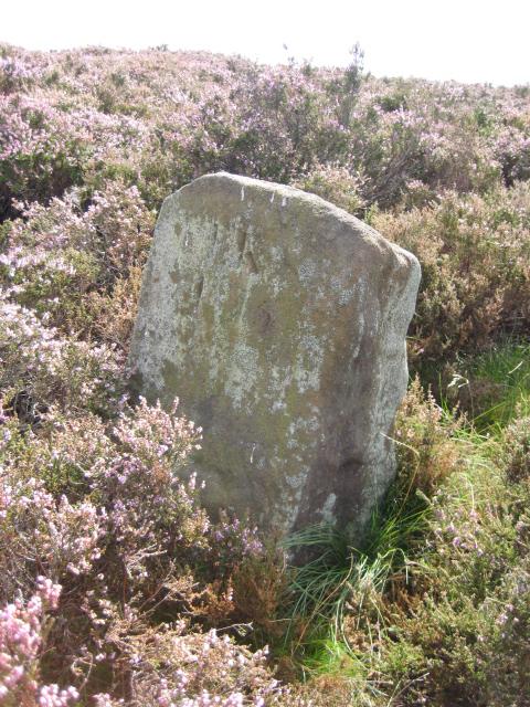 Photo could not load
NZ5912 : Old Boundary Marker
Mike Rayner
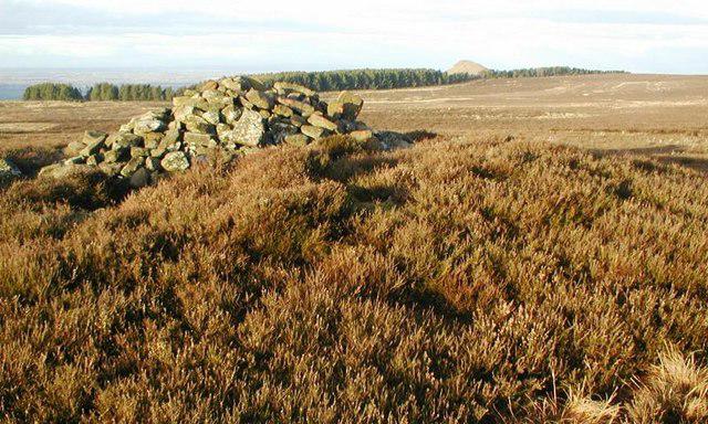 Photo could not load
NZ5912 : Cairn, Great Ayton Moor
Mick Garratt
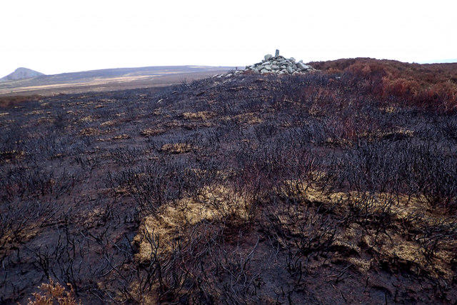 Photo could not load
NZ5912 : Bronze Age Round Cairn on a scorched moor
Mick Garratt
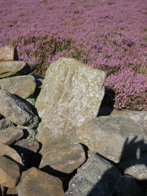 Photo could not load
NZ5912 : Old Boundary Marker on Newton Moor, Guisborough Parish
Milestone Society
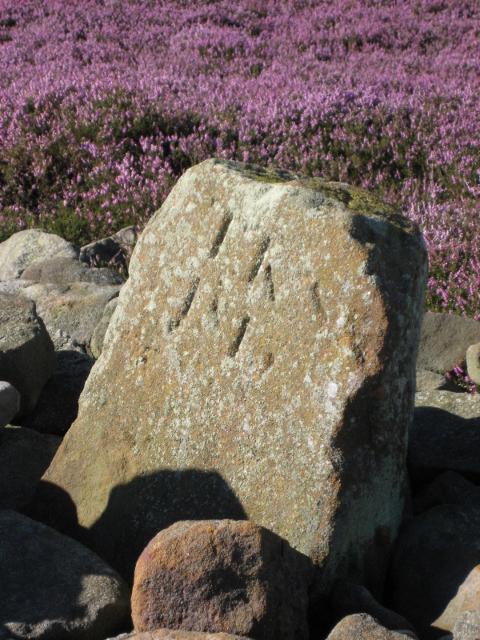 Photo could not load
NZ5912 : Old Boundary Marker on Newton Moor, Guisborough Parish
Milestone Society
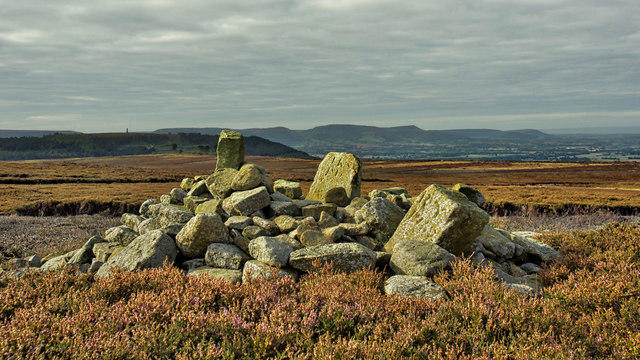 Photo could not load
NZ5912 : Two boundary stones and a Bronze Age round cairn
Mick Garratt
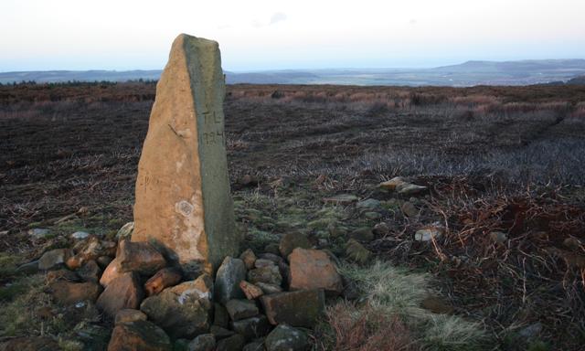 Photo could not load
NZ5912 : Stone Boundary Stone, Great Ayton Moor
Mick Garratt
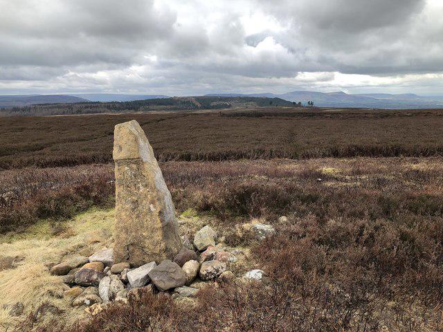 Photo could not load
NZ5912 : Boundary Stone, Great Ayton Moor
David Robinson
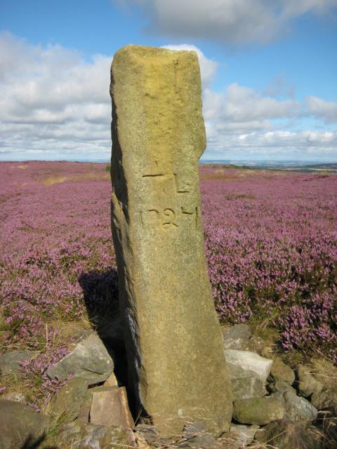 Photo could not load
NZ5912 : Old Boundary Marker on Newton Moor, Guisborough Parish
M Rayner
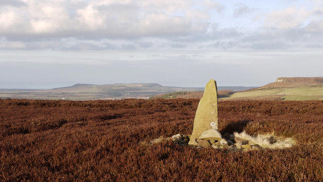 Photo could not load
NZ5912 : Boundary stone on Great Ayton Moor
Trevor Littlewood
Hill facts and local notes
Classifications
Elevation
318m
1,043 ft
Prominence
79m
Coordinates
54.5039, -1.0782
NZ597124
OS Map
93
Explorer: OL26N
At the Summit
The summit is marked by a large stone cairn, offering a fantastic spot for a breather and to take in the sights.
Terrain & Geology
The area is primarily composed of sandstone and clay, common in the North York Moors, providing a striking contrast between the rugged outcrops and lush vegetation.
Views & Scenery
From the summit, gaze upon the sweeping hills of the North York Moors, the market town of Great Ayton, and on a clear day, the distant outline of Roseberry Topping.
History & Heritage
Name Origin
The name 'Ayton' is derived from Old Norse, meaning 'farmstead on the river', reflecting the region's agricultural roots.
Historical Significance
The area is historically linked to Captain James Cook, who was born nearby. The monument dedicated to him is a nearby highlight.
Getting There & Facilities
Parking
There is ample parking available at the Lordstones Country Park, which provides easy access to multiple trails, including those leading to Great Ayton Moor.
Public Transport
Buses regularly run from nearby towns like Middlesbrough to Great Ayton, making it convenient for hikers without a car.
Nearby Facilities
Facilities can be found at Lordstones Country Park, which has a cafe and toilet facilities. The village of Great Ayton also offers various shops and eateries.
Safety Information
Known Hazards
- Beware of sudden changes in weather; the moors can become very foggy, reducing visibility. Watch your step on the rocky areas and be aware of livestock.
General Safety Tips
- Check weather conditions before setting out
- Carry appropriate clothing and equipment
- Let someone know your planned route
- Take a map, compass, and GPS device
- Carry emergency supplies: food, water, first aid kit, torch
Hills
Some common questions about the hills answered
Are there group walks up Great Ayton Moor?
Many walkers use Walkmates to join or organise walks with others. You can check for group walks around Great Ayton Moor through the maps
Are there other walkers around Great Ayton Moor?
Activity varies by location and time, but Walkmates lets you see whether others have shared walks or shown interest in this area. Find other people through the walking friends search walking friends for Great Ayton Moor search or of course create your own walk for Great Ayton Moor
Can I organise a walk to Great Ayton Moor?
Yes. If there aren’t any walks listed already, you can create a walk and make it available for others to join.
If you're signed up to Walkmates, you can create a walk to Great Ayton Moor.
How do I find a walk up this hill?
There are often multiple ways to walk this hill, depending on experience and route preference. Walkmates helps you explore walks and routes that others have shared.
Can I suggest a new route up Great Ayton Moor?
Yes. You can suggest or create routes to share with others. Walkmates focuses on the social side of walking, so routes are used to help people organise walks and explore areas together, rather than as detailed navigation tools or route libraries.
Other uses really appreciate knowledgeable walkers sharing their routes. Share your favourite route to Great Ayton Moor here
The is an error or something incorrect about this hill. How do I let you know?
We always strive to keep the information on Walkmates as accurate as possible. If you find an error, please let us know through the contact form and we'll aim to correct it as quickly as possible
Community Discussion
Comments
Location
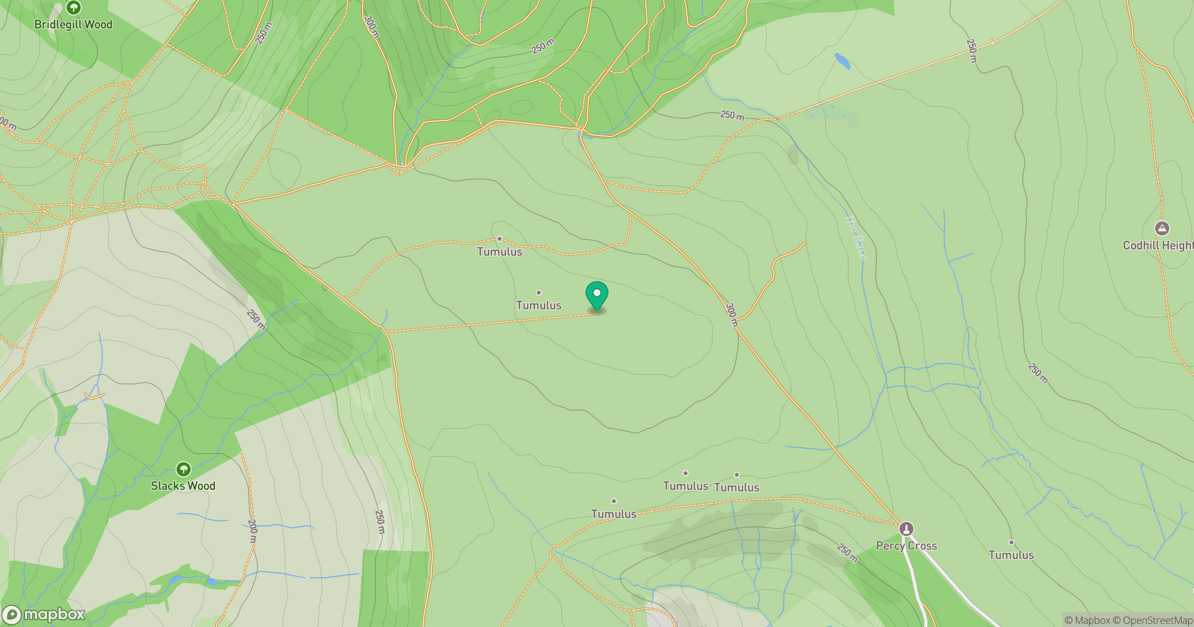
Grid reference: NZ597124
View on OpenStreetMapOpens a map in a new tab, centred on the hill.
Nearby Hills
Rombalds Moor [Ilkley Moor]
402m
Buckden Pike
702m
Nine Standards Rigg
662m

Pen-y-ghent
694m

Whernside
737m
No comments yet. Be the first.