

Easby Moor
Good walks are even better shared.
NZ5910 : Cleveland Way approaching the Captain Cook Monument
Chris Heaton Photo source
Overview
Easby Moor: A Hidden Gem of the North York Moors
Easby Moor, standing at a modest 262 meters, is a Marilyn in the heart of the North York Moors. It may not be the highest peak in the area, but what it lacks in elevation, it more than makes up for in charm and stunning views.
Geology
The underlying geology consists largely of sandstone and gravel. This intriguing composition not only shapes the landscape but also supports a diverse range of flora and fauna. Hiking across the heather-clad moors can be a visual delight, especially during blooming seasons.
Routes
For those itching to explore, the Easby Moor Circular route is highly recommended. It stretches approximately 8 km and offers a delightful variety of paths, from moorland to woodland, allowing hikers to indulge in the splendid scenery.
Summit Features
Upon reaching the summit, you'll find a small cairn marking your accomplishment. If you're lucky, you might even get a friendly nod from the local sheep, who seem to think they own the place!
Terrain Type
The terrain consists mainly of grassy areas dotted with patches of heather. Be prepared for occasional rocky sections and boggy ground—nature's way of reminding us to watch our step!
Views
The summit serves as a fantastic vantage point, providing breathtaking panoramas of the Cleveland Hills and beyond. Roseberry Topping, with its distinctive shape, is a particular highlight visible from the peak. If you're after picture-perfect moments, aim for a hike during spring or autumn for the clearest skies and vibrant landscapes.
Hazards
While Easby Moor is generally a friendly place for hikers, remember that conditions can change rapidly. Always check the weather before you set off, and stay vigilant—those bogs can be deceptively deep!
Access
Getting to Easby Moor is easy. The nearest parking is conveniently located near Great Ayton, which also boasts a train station and bus connections making it accessible for those travelling without a car.
Facilities
After your hike, you can treat yourself to a well-deserved meal at one of Great Ayton's local cafes or pubs. Public toilets are also available in the village, so no need to worry there!
History
Easby Moor carries historical significance with its name deriving from Old Norse. It has been an integral part of local traditions and folklore, often associated with tales of the supernatural.
In conclusion, whether you're looking to lose yourself in nature or simply have a jolly good walk, Easby Moor has got you covered. So, lace up those hiking boots, grab your walking stick, and venture onto this beautiful moor—you won't regret it!
Explore routes near Easby Moor
Walks starting near this hill. Open a route to check its map, distance and full itinerary.
Commondale and Hob Cross
View route
River Tees industrial heritage
View route
Cod Beck Reservoir circuit
View route
Silton Forest and Red Way circuit
View route
Route planning notes
These notes describe possible approaches. Check a route's map and access information when planning your walk.
Easby Moor Circular
A fantastic circular route starting from the village of Great Ayton, offering a mix of moorland paths and woodland trails.
Make a day of it, together
Find someone to share the walk with, or organise a day out along a route you like.
Photo Gallery
View all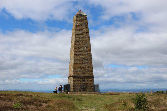 Photo could not load
NZ5910 : Cleveland Way approaching the Captain Cook Monument
Chris Heaton
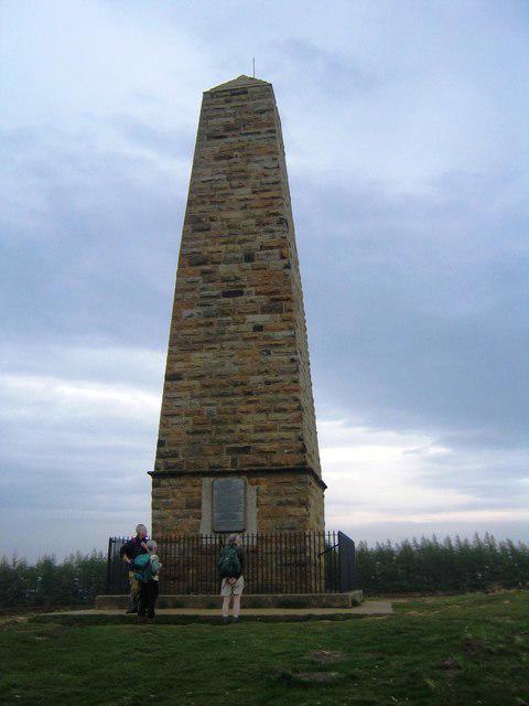 Photo could not load
NZ5910 : Captain Cook's Monument (view east)
Philip Barker
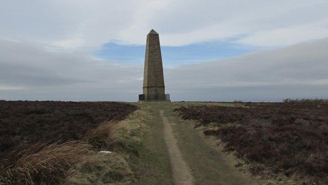 Photo could not load
NZ5910 : Captain Cook's monument
steven ruffles
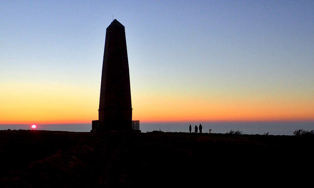 Photo could not load
NZ5910 : Capt. Cook's Monument
Mick Garratt
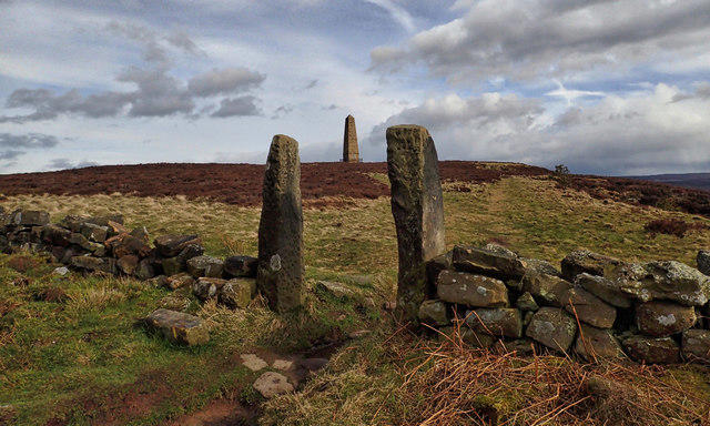 Photo could not load
NZ5910 : Capt. Cook's Monument and Easby Moor
Mick Garratt
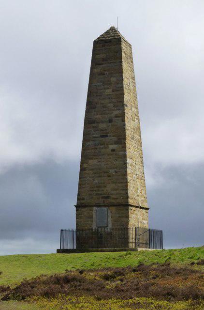 Photo could not load
NZ5910 : Captain Cook's Monument
Russel Wills
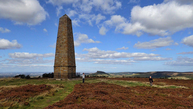 Photo could not load
NZ5910 : Capt. Cook's Monument
Mick Garratt
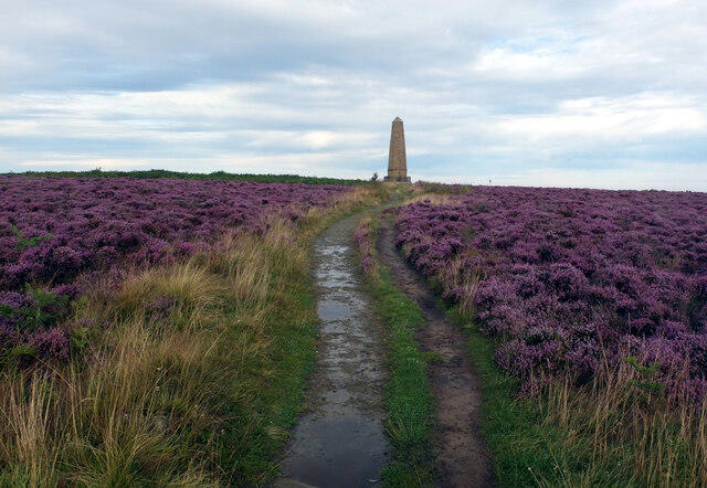 Photo could not load
NZ5910 : The Captain Cook Monument, Easby Moor
habiloid
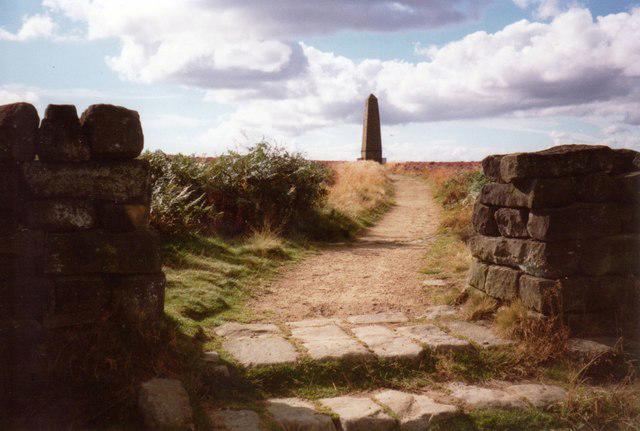 Photo could not load
NZ5910 : Approaching Captain Cook's Monument
Graham Horn
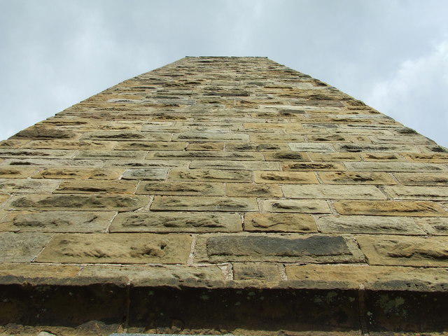
NZ5910 : Stonework Of Captain Cooks Monument
Keith Evans
Hill facts and local notes
Classifications
Elevation
324m
1,063 ft
Prominence
95m
Coordinates
54.4828, -1.0906
NZ590100
OS Map
93
Explorer: OL26N
At the Summit
The summit is marked by a modest cairn, providing a sense of achievement for those who reach it. A few grazing sheep may offer an approving bleat—a nod of recognition for your efforts.
Terrain & Geology
The moor is primarily composed of sandstone and gravel, formed during significant geological changes in the region. The substrate supports a unique ecosystem of heather and bilberry, making it a haven for both hikers and wildlife enthusiasts.
Views & Scenery
From the summit, one can enjoy panoramic views of the Cleveland Hills and the North York Moors, with the distant outline of Roseberry Topping visible on a clear day.
History & Heritage
Name Origin
The name 'Easby' is derived from Old Norse, meaning 'Easbi's island', suggesting a historical settlement in the area.
Historical Significance
Easby Moor has been a prominent feature in local folklore, with tales of the supernatural said to haunt its windswept heights, making it a point of convergence for both history buffs and curious adventurers.
Getting There & Facilities
Parking
There is a car park just off the B1257 near Great Ayton. It can accommodate a good number of vehicles, but arrive early during weekends to snag a space.
Public Transport
The nearest train station is in Great Ayton, with regular services from Middlesbrough. Local buses also connect here.
Nearby Facilities
Great Ayton offers various facilities, including a handful of cafes and pubs where you can reward yourself with a hearty meal after your hike. Toilets are available in the village.
Safety Information
Known Hazards
- Be mindful of sudden weather changes; moorland visibility can drop quickly. The terrain can be slippery in wet conditions, and patches of bog can catch unsuspecting feet.
General Safety Tips
- Check weather conditions before setting out
- Carry appropriate clothing and equipment
- Let someone know your planned route
- Take a map, compass, and GPS device
- Carry emergency supplies: food, water, first aid kit, torch
Hills
Some common questions about the hills answered
Are there group walks up Easby Moor?
Many walkers use Walkmates to join or organise walks with others. You can check for group walks around Easby Moor through the maps
Are there other walkers around Easby Moor?
Activity varies by location and time, but Walkmates lets you see whether others have shared walks or shown interest in this area. Find other people through the walking friends search walking friends for Easby Moor search or of course create your own walk for Easby Moor
Can I organise a walk to Easby Moor?
Yes. If there aren’t any walks listed already, you can create a walk and make it available for others to join.
If you're signed up to Walkmates, you can create a walk to Easby Moor.
How do I find a walk up this hill?
There are often multiple ways to walk this hill, depending on experience and route preference. Walkmates helps you explore walks and routes that others have shared.
Can I suggest a new route up Easby Moor?
Yes. You can suggest or create routes to share with others. Walkmates focuses on the social side of walking, so routes are used to help people organise walks and explore areas together, rather than as detailed navigation tools or route libraries.
Other uses really appreciate knowledgeable walkers sharing their routes. Share your favourite route to Easby Moor here
The is an error or something incorrect about this hill. How do I let you know?
We always strive to keep the information on Walkmates as accurate as possible. If you find an error, please let us know through the contact form and we'll aim to correct it as quickly as possible
Community Discussion
Comments
Location
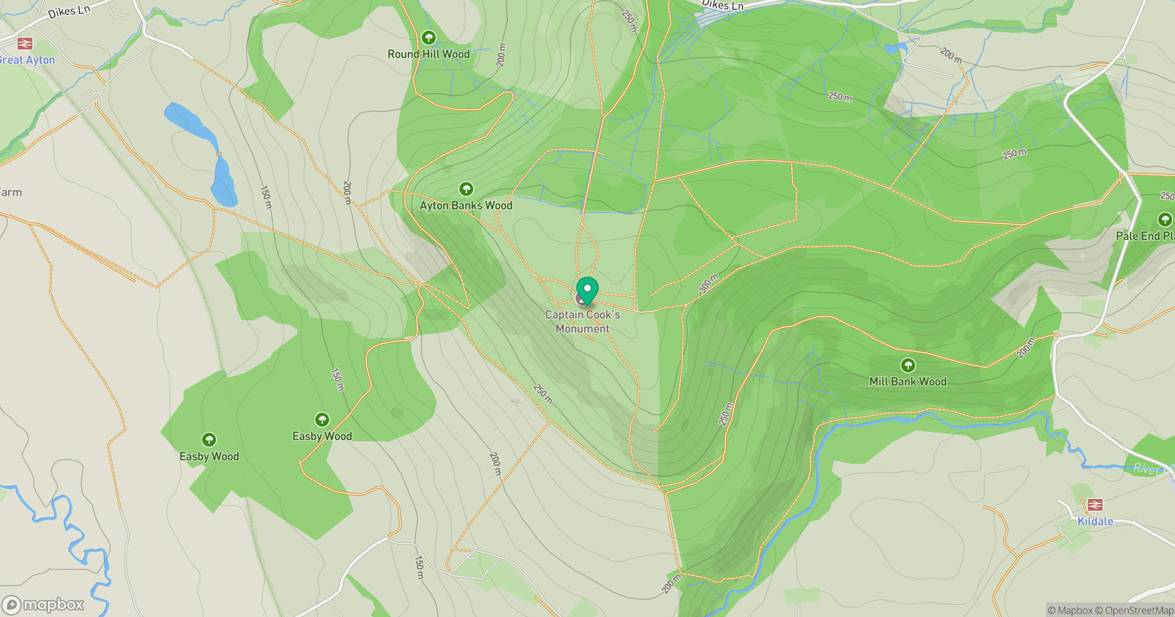
Grid reference: NZ590100
View on OpenStreetMapOpens a map in a new tab, centred on the hill.
Nearby Hills
Rombalds Moor [Ilkley Moor]
402m
Buckden Pike
702m
Nine Standards Rigg
662m

Pen-y-ghent
694m

Whernside
737m
No comments yet. Be the first.