

Dumglow
Good walks are even better shared.
NT0796 : Forest below Dumglow
Rob Burke Photo source
Explore routes near Dumglow
Walks starting near this hill. Open a route to check its map, distance and full itinerary.
Loch Leven: Kinross Pier to RSPB Loch Leven Heritage Trail
View route
Devilla Forest: Bordie Loch, Moor Loch and Peppermill Dam Circuit
View route
Linlithgow: Beecraigs Loch and Southern Woodland Circuit
View route
Falkirk Wheel: Bonnybridge and Doctor's Pend Canal Walk
View route
Route planning notes
These notes describe possible approaches. Check a route's map and access information when planning your walk.
Dumglow via the Cheviot Ridge
A scenic route starting from the picturesque village of Ingram and traversing the rolling hills along the way, culminating in a delightful ascent to the summit of Dumglow.
Dumglow via the Breamish Valley
This route trails through the beautiful Breamish Valley, offering a gentle ascent with stunning views of the countryside, ideal for those who prefer a more leisurely hike.
Make a day of it, together
Find someone to share the walk with, or organise a day out along a route you like.
Photo Gallery
View all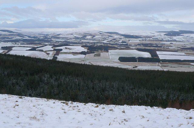 Photo could not load
NT0796 : Forest below Dumglow
Rob Burke
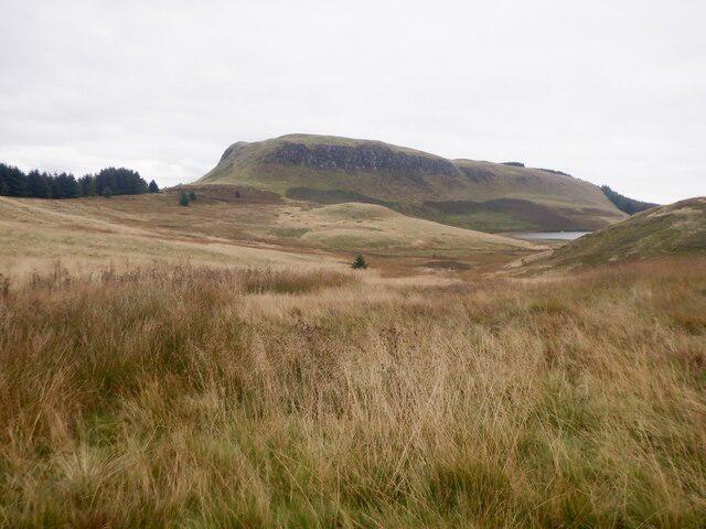 Photo could not load
NT0796 : The non forested side of Dumglow
Richard Webb
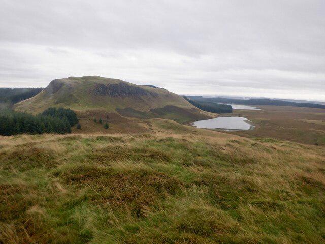 Photo could not load
NT0796 : Dumglow
Richard Webb
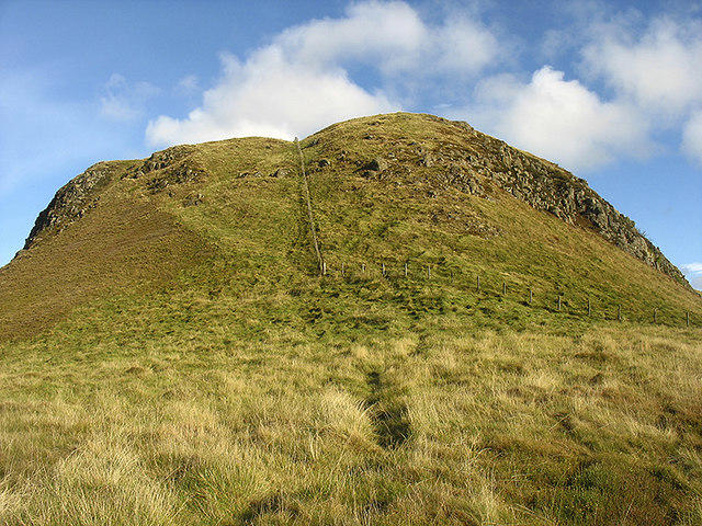 Photo could not load
NT0796 : Ascending Dumglow
William Starkey
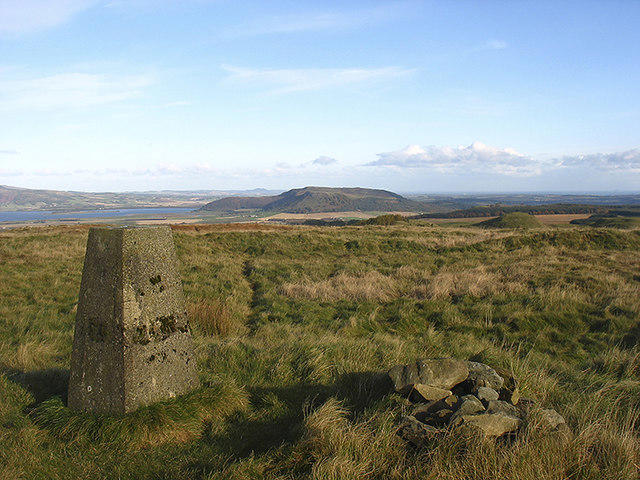 Photo could not load
NT0796 : Summit area, Dumglow
William Starkey
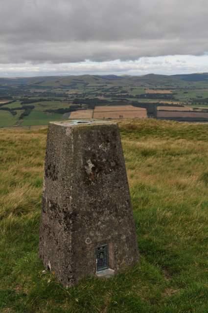 Photo could not load
NT0796 : Dumglow Trig Point
Robert Struthers
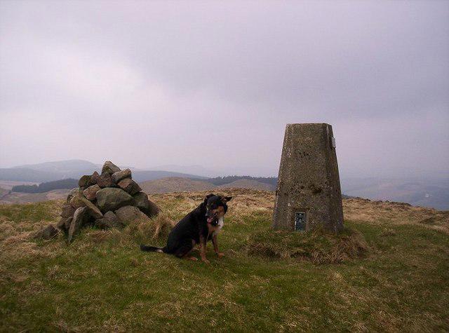 Photo could not load
NT0796 : Dumglow summit on a windy day.
Neil MacLeod
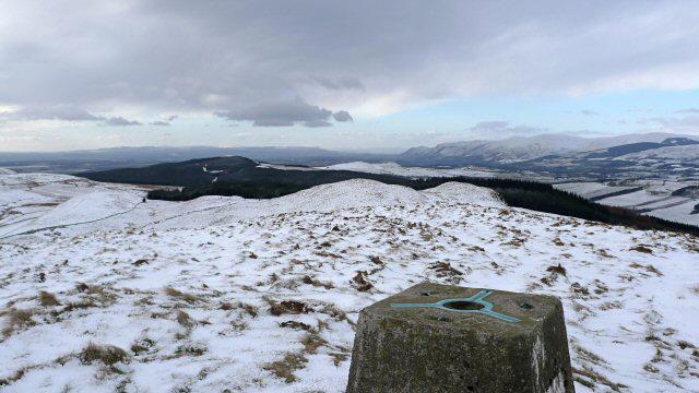 Photo could not load
NT0796 : Dumglow top
Rob Burke
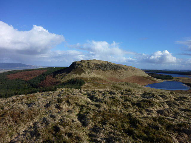 Photo could not load
NT0796 : Dumglow from the West
I A Smellie
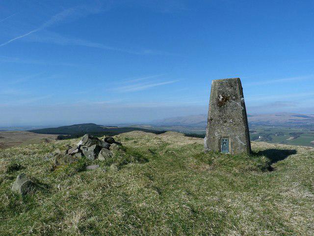
NT0796 : Dumglow (trig point)
Raibeart MacAoidh
Hill facts and local notes
Classifications
Elevation
379m
1,243 ft
Prominence
251m
Coordinates
56.1523, -3.4891
NT075965
OS Map
58
Explorer: 367W
At the Summit
The summit of Dumglow is marked by a well-constructed cairn, perfect for photo opportunities or a quick rest. On clear days, you'll find a splendid view of the rolling hills around the Cheviots.
Terrain & Geology
Dumglow is primarily composed of Old Red Sandstone, characterised by striking red hues that really pop against the green of the surrounding heaths. This rock formation is a fascinating topic, often leading to discussions about the geological history of the region during the Devonian period.
Views & Scenery
From the summit, you can see the expansive Northumberland National Park, the Cheviot hills, and on a clear day, even as far as the North Sea coast. Keep your eyes peeled for the picturesque Ingram Valley below.
History & Heritage
Name Origin
The name Dumglow is believed to derive from 'Dum' meaning hill and 'glow', relating to the rocky outcrop or possibly an old Scottish term referring to the glow of the stones from a distance.
Historical Significance
Dumglow, although not as famed as some of its towering cousins, has been a local staple for generations, often featured in regional folklore and old tales of the Cheviots.
Getting There & Facilities
Parking
Parking is available at the main car park in Ingram, which accommodates several vehicles and is free of charge. Be wary, as it fills up quickly on weekends.
Public Transport
The nearest bus stop is in Ingram village, accessible via the 817 service from Alnwick. It would be good to check for the latest schedule, as services can be a bit sparse.
Nearby Facilities
In Ingram, there are limited facilities including a small café and a public toilet. For more extensive amenities, Alnwick offers shops, restaurants, and ample refreshments.
Safety Information
Known Hazards
- The terrain can be uneven and slippery in wet conditions. Wildlife, including sheep and occasional livestock, may wander onto paths.
General Safety Tips
- Check weather conditions before setting out
- Carry appropriate clothing and equipment
- Let someone know your planned route
- Take a map, compass, and GPS device
- Carry emergency supplies: food, water, first aid kit, torch
Hills
Some common questions about the hills answered
Are there group walks up Dumglow?
Many walkers use Walkmates to join or organise walks with others. You can check for group walks around Dumglow through the maps
Are there other walkers around Dumglow?
Activity varies by location and time, but Walkmates lets you see whether others have shared walks or shown interest in this area. Find other people through the walking friends search walking friends for Dumglow search or of course create your own walk for Dumglow
Can I organise a walk to Dumglow?
Yes. If there aren’t any walks listed already, you can create a walk and make it available for others to join.
If you're signed up to Walkmates, you can create a walk to Dumglow.
How do I find a walk up this hill?
There are often multiple ways to walk this hill, depending on experience and route preference. Walkmates helps you explore walks and routes that others have shared.
Can I suggest a new route up Dumglow?
Yes. You can suggest or create routes to share with others. Walkmates focuses on the social side of walking, so routes are used to help people organise walks and explore areas together, rather than as detailed navigation tools or route libraries.
Other uses really appreciate knowledgeable walkers sharing their routes. Share your favourite route to Dumglow here
The is an error or something incorrect about this hill. How do I let you know?
We always strive to keep the information on Walkmates as accurate as possible. If you find an error, please let us know through the contact form and we'll aim to correct it as quickly as possible
Community Discussion
Comments
Location
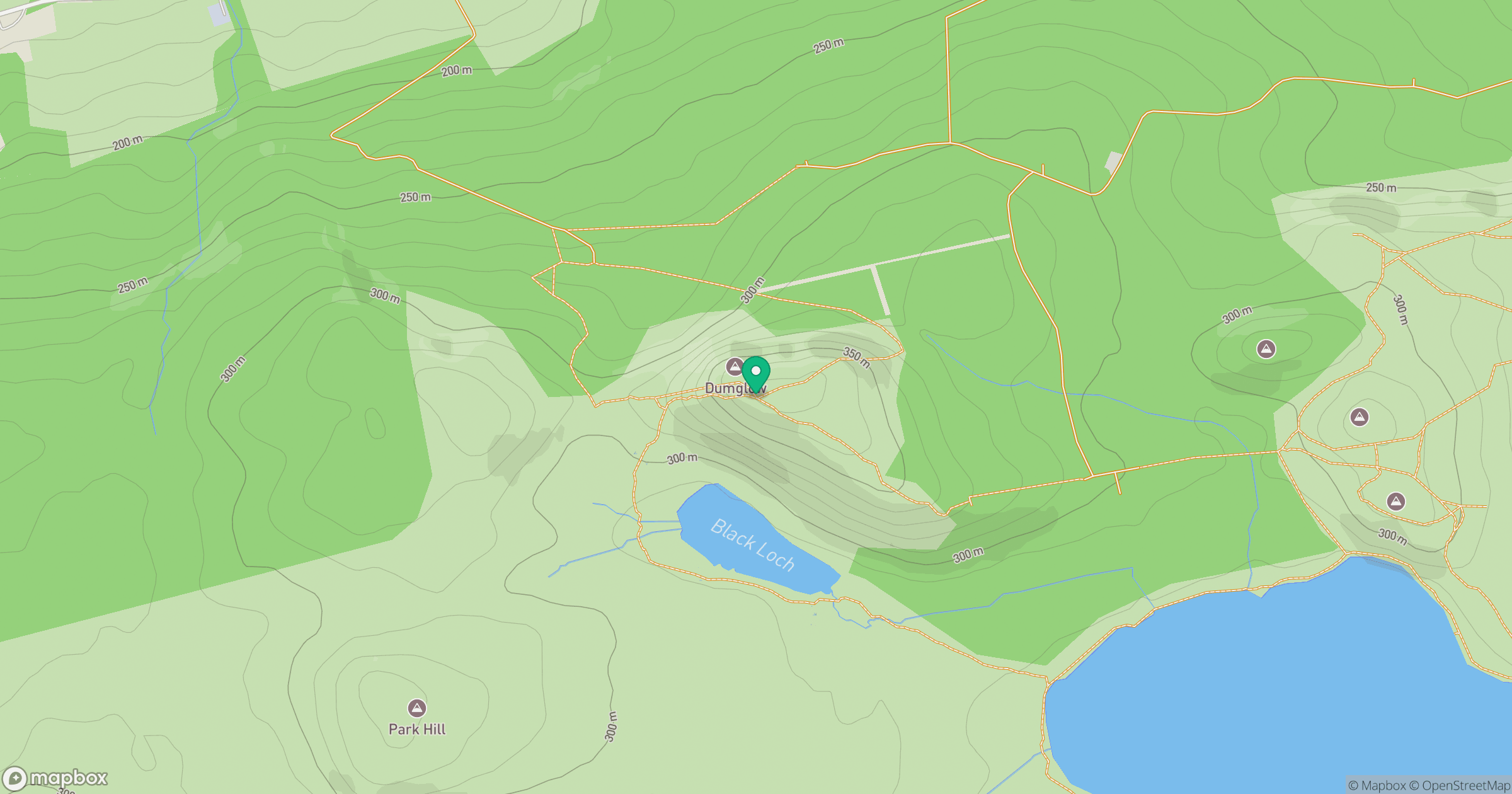
Grid reference: NT075965
View on OpenStreetMapOpens a map in a new tab, centred on the hill.


No comments yet. Be the first.