


Circular
Banwell–Vering Down–Winscombe
PaulWalkmates
Walk organiser

Crook Peak Group Walks | Join a Walk
Join group walks, find walking companions and friends, or organise your own!
Don't walk alone! Find friendly walkers to explore Crook Peak together. Join scheduled group walks or start your own.
Elevation
191m
627 ft
Prominence
46m
Coordinates
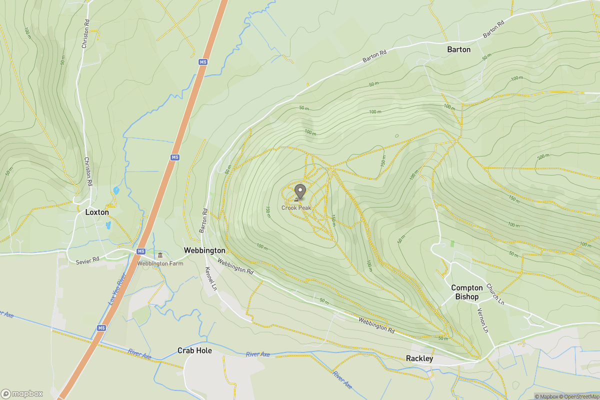
51.2983, -2.8800
ST387558
OS Map
182
Explorer: 153
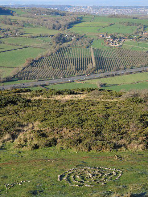
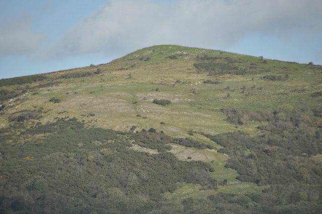
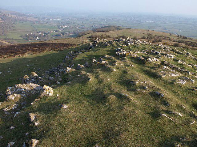
The summit is adorned with a large cairn and offers a trig point for that perfect Instagram snap. The rugged topography is ideal for a cozy picnic - just remember to bring a blanket!
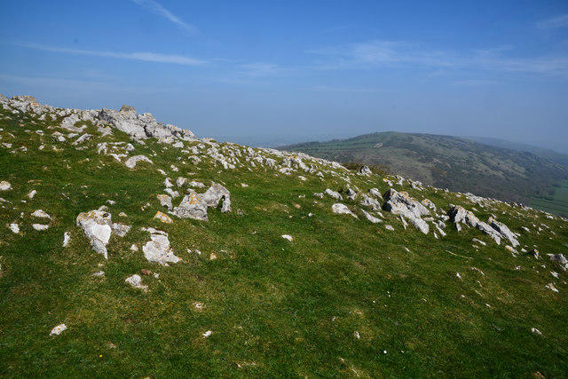
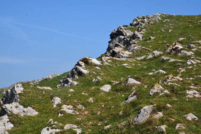
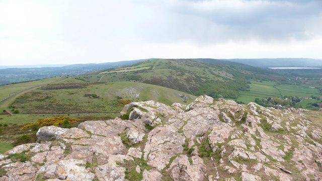
Primarily composed of limestone with sedimentary layers, Crook Peak boasts sheer cliffs and interesting rock formations that have formed over millions of years. The geology offers a glimpse into the geological history of the Mendip Hills.
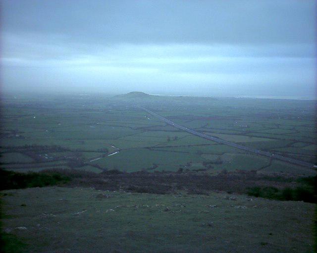
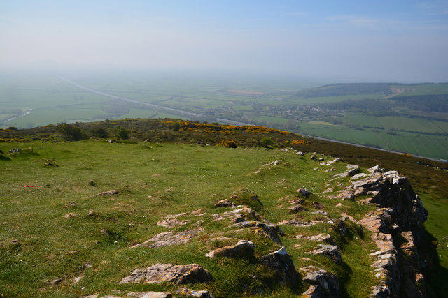
From the summit, one can enjoy panoramic views of the Cheddar Gorge, the Bristol Channel, and on a clear day, even the distant Brecon Beacons.
The name 'Crook' likely derives from the Old English 'crocc', meaning 'hook' or 'bend', possibly referring to the shape of the hill.
Crook Peak carries historical significance as a viewpoint during warfare, used to spot approaching threats. It's seen its fair share of drama over the centuries!
A scenic circular route that starts from the village of Axbridge, taking you through lush woodlands and open fields before ascending to the summit of Crook Peak.
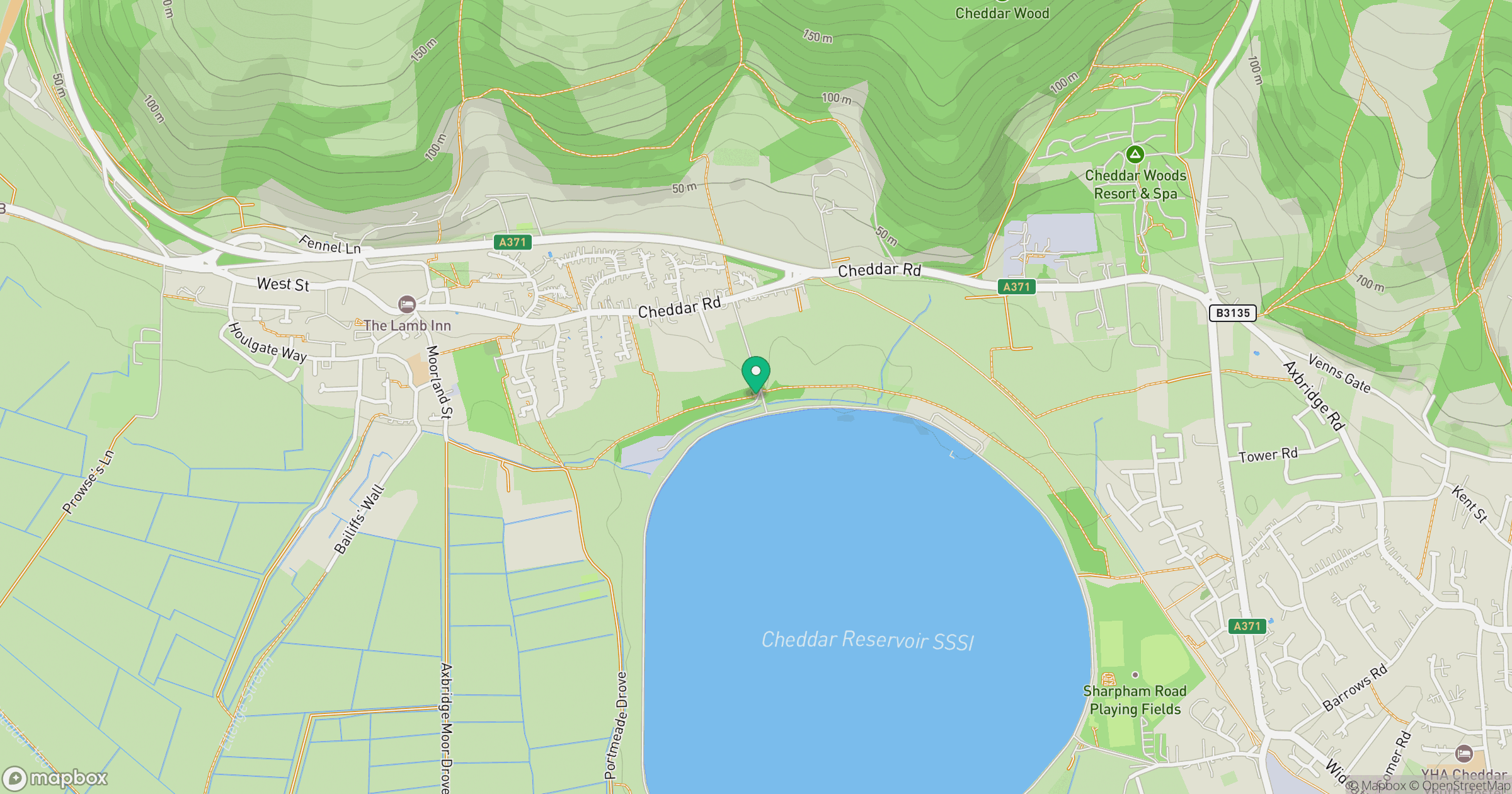
Parking is available at the Axbridge reservoir car park, approximately 2 km from the trailhead.
Regular bus services run from Bristol and Weston-super-Mare to Axbridge. The bus stop is a short walk to the start of the trail.
There are several pubs and cafes in Axbridge where weary hikers can grab a bite to eat or a hot drink after their adventure. Public toilets are also available near the town centre.
Join friendly walkers exploring Crook Peak and surrounding area
More walks starting close to this area
Create a walk and let others join you. It's free and easy!
Some common questions about the hills answered
Many walkers use Walkmates to join or organise walks with others. You can check for group walks around Crook Peak through the maps
Activity varies by location and time, but Walkmates lets you see whether others have shared walks or shown interest in this area. Find other people through the walking friends search walking friends for Crook Peak search or of course create your own walk for Crook Peak
Yes. If there aren’t any walks listed already, you can create a walk and make it available for others to join.
If you're signed up to Walkmates, you can create a walk to Crook Peak.
There are often multiple ways to walk this hill, depending on experience and route preference. Walkmates helps you explore walks and routes that others have shared.
Yes. You can suggest or create routes to share with others. Walkmates focuses on the social side of walking, so routes are used to help people organise walks and explore areas together, rather than as detailed navigation tools or route libraries.
Other uses really appreciate knowledgeable walkers sharing their routes. Share your favourite route to Crook Peak here
We always strive to keep the information on Walkmates as accurate as possible. If you find an error, please let us know through the contact form and we'll aim to correct it as quickly as possible
Grid Ref: ST387558
+ 5 more nearby hills
Find more walking companions in the area
No comments yet. Be the first.