
Circular
Locking Parklands–Hutton–Christon
PaulWalkmates
Walk organiser

Craig Ruperra Group Walks | Join a Walk
Join group walks, find walking companions and friends, or organise your own!
Don't walk alone! Find friendly walkers to explore Craig Ruperra together. Join scheduled group walks or start your own.
Elevation
182m
597 ft
Prominence
50m
Coordinates
51.5738, -3.1221
ST223866
OS Map
171
Explorer: 152
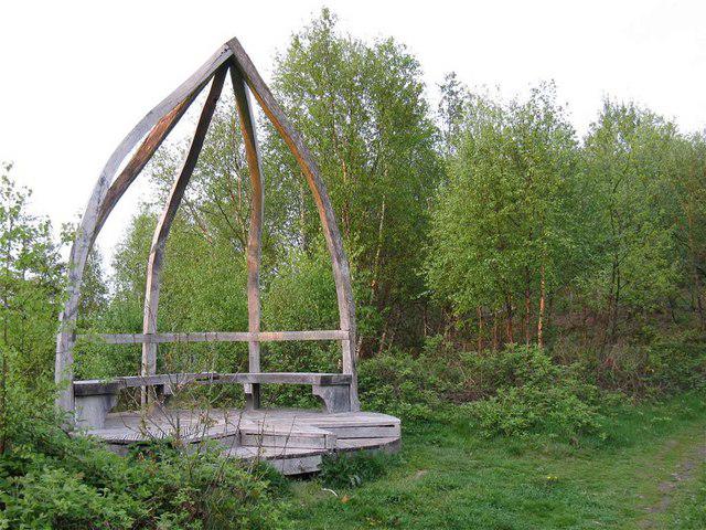
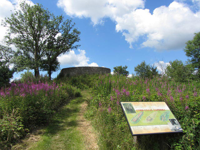
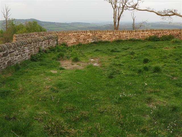
The summit features a well-marked rocky outcrop with stunning views, perfect for a group photo. A small cairn marks the highest point, giving hikers a sense of achievement.
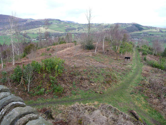
Craig Ruperra primarily consists of volcanic rock, specifically basalt, formed during the ancient geological activity that shaped South Wales. Its rugged cliff faces provide a glimpse into the planet's fiery past.
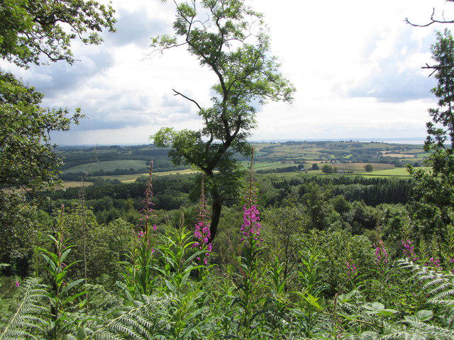
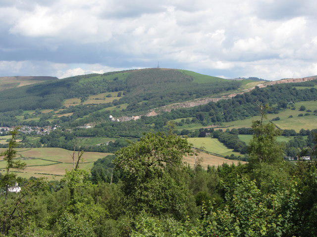
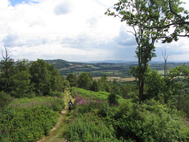
From the summit, hikers can enjoy panoramic views across the Severn Estuary, Cardiff, and the surrounding valleys, with the Brecon Beacons in the distance.
The name 'Ruperra' is thought to derive from the old Welsh words meaning 'the bank of the river', reflecting the area's picturesque location.
The historical Ruperra Castle nearby adds a cultural dimension to your hike, as it dates back to the early 19th century and is steeped in local lore.
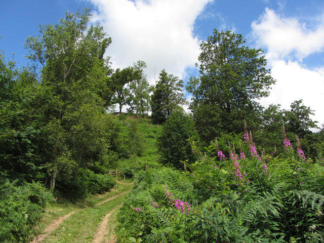
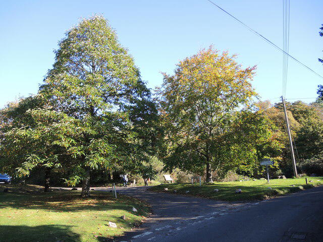
Starting from the ruins of Ruperra Castle, this route meanders through woodland and across gentle slopes, providing a lovely warm-up for the ascent to the summit.
A scenic loop that takes you through Tredegar Park and leads up to the rocky outcrop of Craig Ruperra, perfect for those looking to explore at a more leisurely pace.
There is a small parking area at the entrance to Ruperra Castle, which provides easy access to the trails leading up to Craig Ruperra.
Accessible via local buses that serve the nearby areas of Tredegar, with the nearest bus stop just a short walk from Ruperra Castle.
Closest facilities can be found in Caerphilly, where you can find cafes, public toilets, and shops for a quick refuel or snack before your adventure.
Join friendly walkers exploring Craig Ruperra and surrounding area
More walks starting close to this area
Create a walk and let others join you. It's free and easy!
Some common questions about the hills answered
Many walkers use Walkmates to join or organise walks with others. You can check for group walks around Craig Ruperra through the maps
Activity varies by location and time, but Walkmates lets you see whether others have shared walks or shown interest in this area. Find other people through the walking friends search walking friends for Craig Ruperra search or of course create your own walk for Craig Ruperra
Yes. If there aren’t any walks listed already, you can create a walk and make it available for others to join.
If you're signed up to Walkmates, you can create a walk to Craig Ruperra.
There are often multiple ways to walk this hill, depending on experience and route preference. Walkmates helps you explore walks and routes that others have shared.
Yes. You can suggest or create routes to share with others. Walkmates focuses on the social side of walking, so routes are used to help people organise walks and explore areas together, rather than as detailed navigation tools or route libraries.
Other uses really appreciate knowledgeable walkers sharing their routes. Share your favourite route to Craig Ruperra here
We always strive to keep the information on Walkmates as accurate as possible. If you find an error, please let us know through the contact form and we'll aim to correct it as quickly as possible
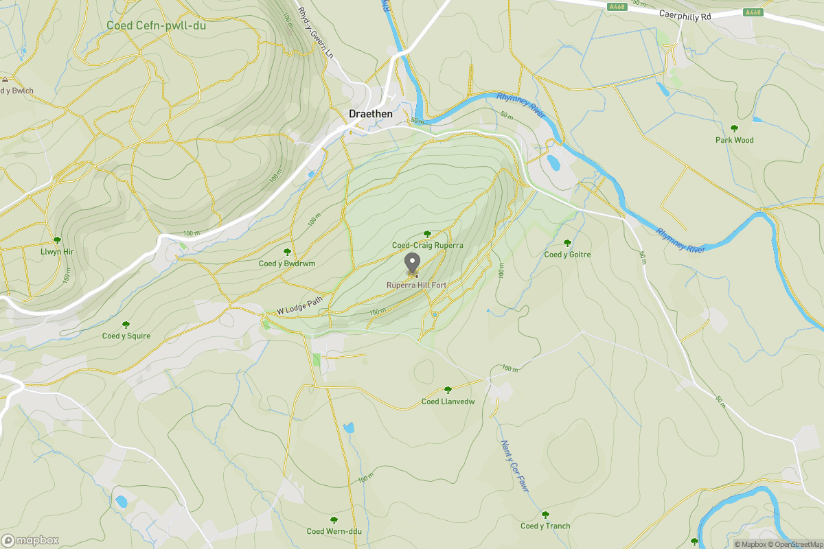
Grid Ref: ST223866
+ 5 more nearby hills
Find more walking companions in the area

No comments yet. Be the first.