Circular
Locking Parklands–Hutton–Christon
PaulWalkmates
Walk organiser

Conygar Tower Group Walks | Join a Walk
Join group walks, find walking companions and friends, or organise your own!
Don't walk alone! Find friendly walkers to explore Conygar Tower together. Join scheduled group walks or start your own.
Elevation
103m
339 ft
Prominence
39m
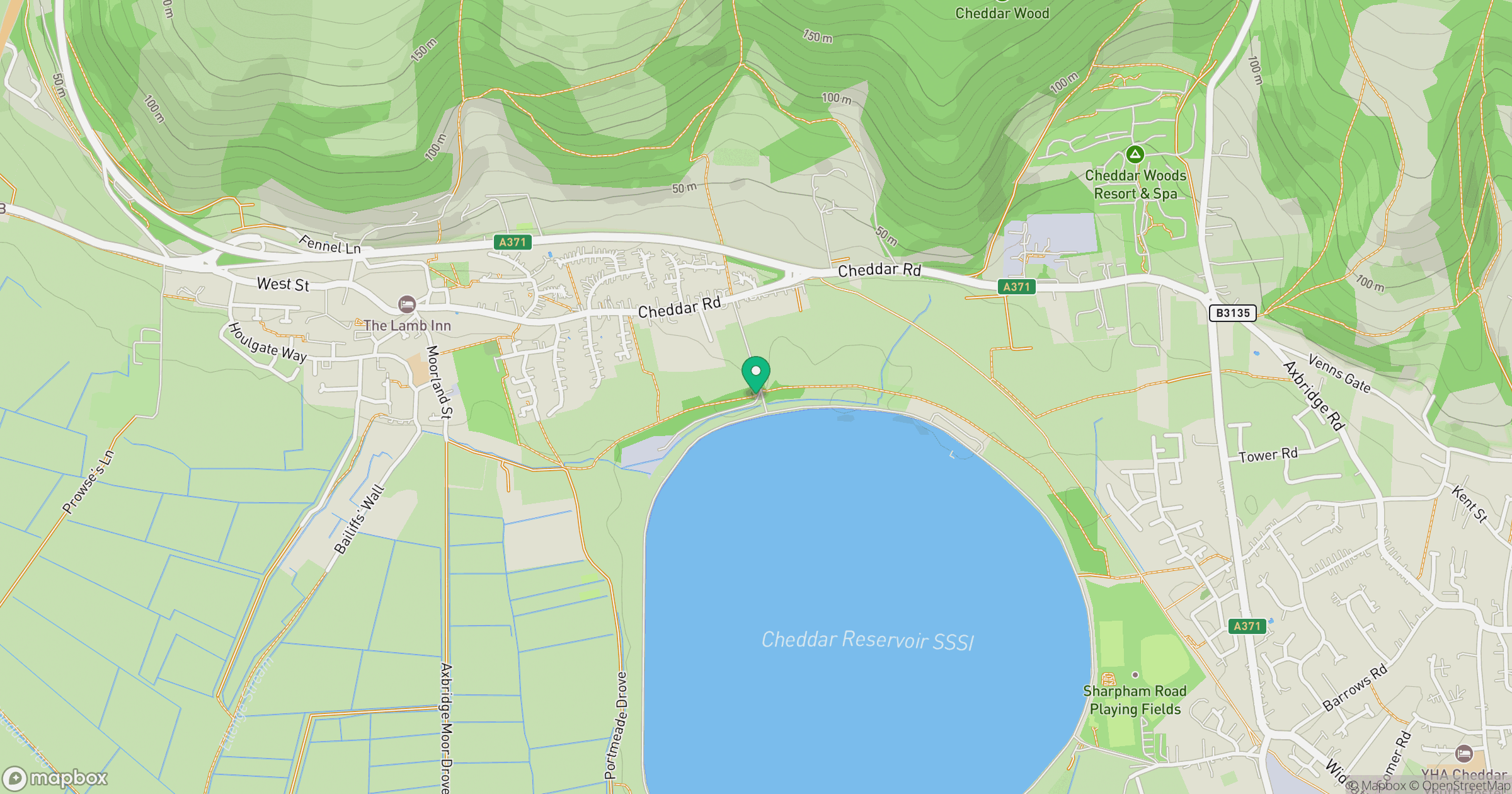
Coordinates
51.1872, -3.4440
SS991441
OS Map
181
Explorer: OL9E
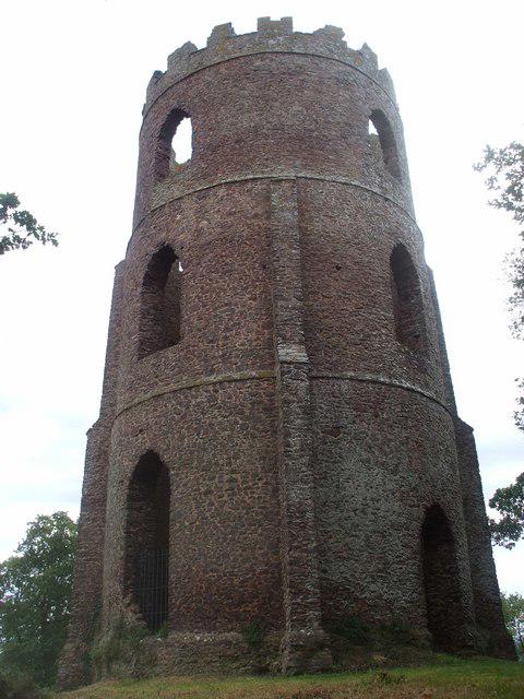
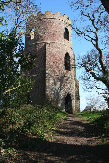
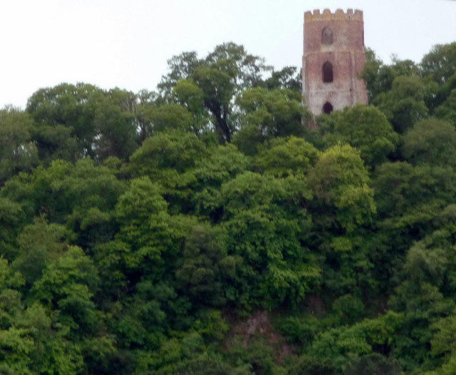
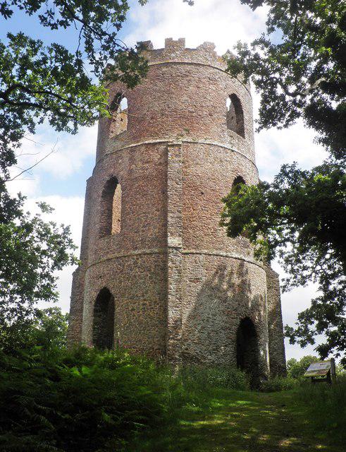
At the summit, visitors will find a stone tower that provides panoramic views and serves as a historical monument commemorating the area's heritage.
The area features a mix of sedimentary rocks, predominantly sandstone, shaped by glacial and fluvial processes during the last Ice Age. The uplifted terrain creates interesting rock formations and viewpoints.
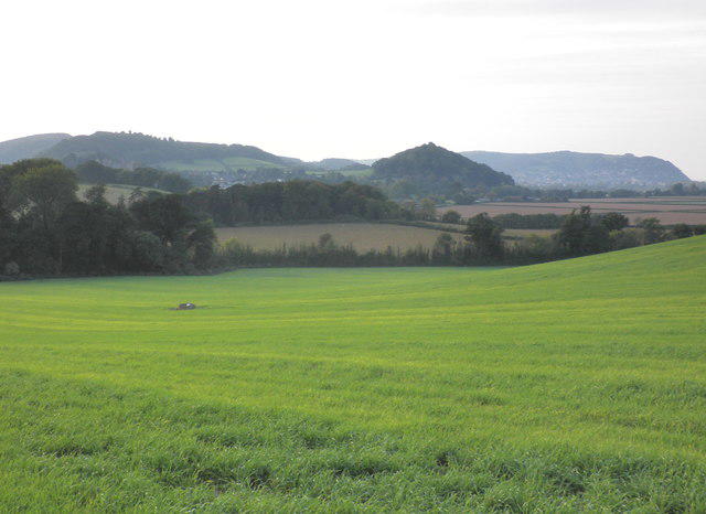
The summit offers breathtaking views of the Brecon Beacons, the Black Mountains, and on a clear day, the Bristol Channel and even the Pembrokeshire coastline.
The name 'Conygar' is derived from Old Welsh meaning 'the hill of the rabbits', hinting at the local wildlife present in historical times.
Conygar Tower was built in the early 19th century and served as a lookout point. The summit's historical significance adds to its allure for visitors.
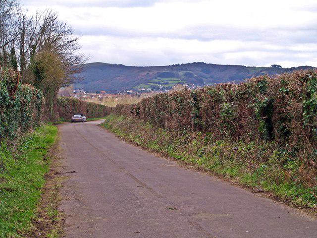
A well-marked path begins from the car park near Clydach Gorge, leading through woodland before ascending to the open moorland towards Conygar Tower.
This alternate route begins at Tor y Foel and offers a more direct ascent with stunning views, especially at the summit.
Parking is available at the Clydach Gorge car park, which accommodates around 20 vehicles. Arrive early, as it fills up quickly on weekends.
Regular bus services run from Merthyr Tydfil to Clydach Bridge, with a short walk to the trailhead.
There are no facilities directly at the summit, but Merthyr Tydfil has a variety of cafes, pubs, and toilets available.
Join friendly walkers exploring Conygar Tower and surrounding area
More walks starting close to this area
Create a walk and let others join you. It's free and easy!
Some common questions about the hills answered
Many walkers use Walkmates to join or organise walks with others. You can check for group walks around Conygar Tower through the maps
Activity varies by location and time, but Walkmates lets you see whether others have shared walks or shown interest in this area. Find other people through the walking friends search walking friends for Conygar Tower search or of course create your own walk for Conygar Tower
Yes. If there aren’t any walks listed already, you can create a walk and make it available for others to join.
If you're signed up to Walkmates, you can create a walk to Conygar Tower.
There are often multiple ways to walk this hill, depending on experience and route preference. Walkmates helps you explore walks and routes that others have shared.
Yes. You can suggest or create routes to share with others. Walkmates focuses on the social side of walking, so routes are used to help people organise walks and explore areas together, rather than as detailed navigation tools or route libraries.
Other uses really appreciate knowledgeable walkers sharing their routes. Share your favourite route to Conygar Tower here
We always strive to keep the information on Walkmates as accurate as possible. If you find an error, please let us know through the contact form and we'll aim to correct it as quickly as possible
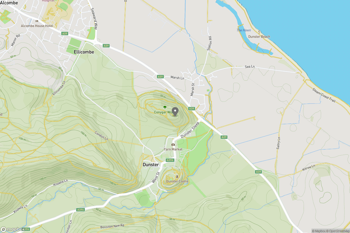
Grid Ref: SS991441
Dunkery Beacon
520m
Cribyn
795m
Fan Gyhirych
726m
Pen y Fan
886m
Fan Brycheiniog - Twr y Fan Foel
802m
+ 5 more nearby hills
Find more walking companions in the area

No comments yet. Be the first.