Circular
Felton–Barrow tanks–Wilford
PaulWalkmates
Walk organiser

Cley Hill Group Walks | Join a Walk
Join group walks, find walking companions and friends, or organise your own!
Don't walk alone! Find friendly walkers to explore Cley Hill together. Join scheduled group walks or start your own.
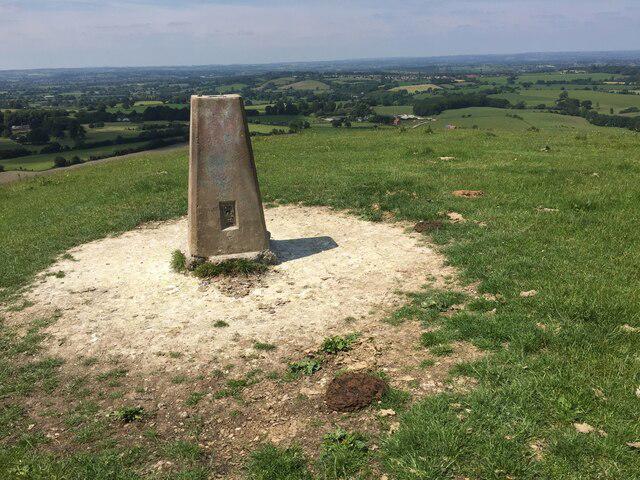
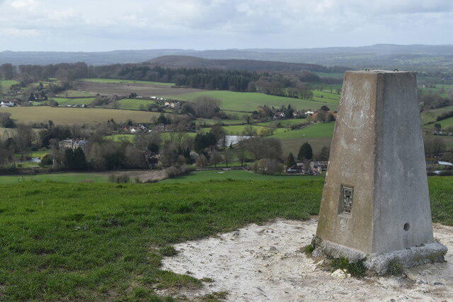
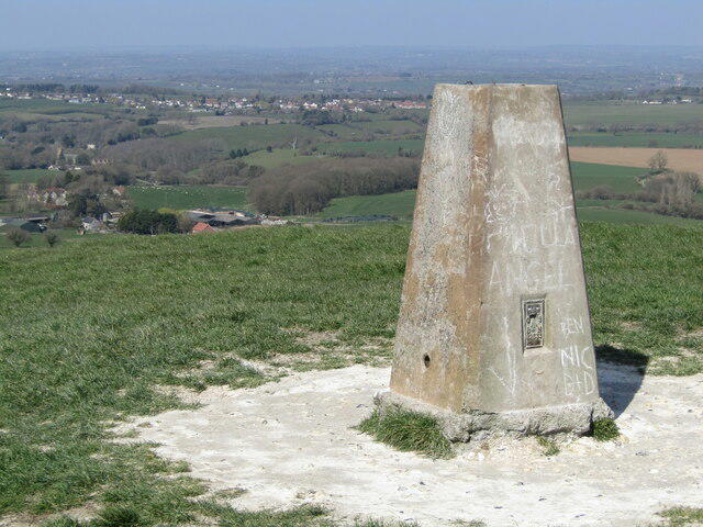
Elevation
244m
801 ft
Prominence
73m
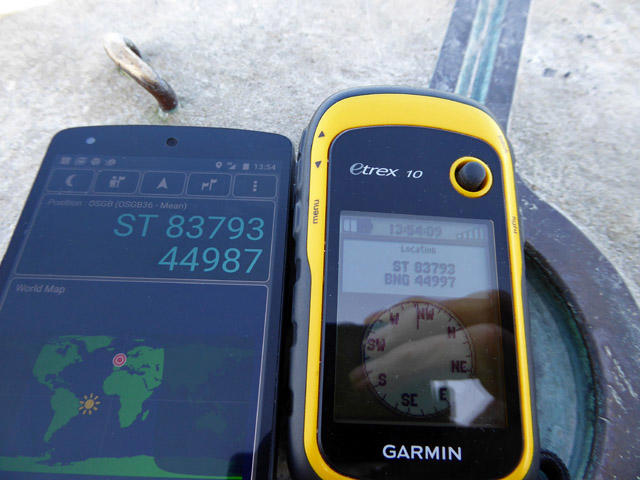
Coordinates
51.2023, -2.2325
ST838448
OS Map
183
Explorer: 143
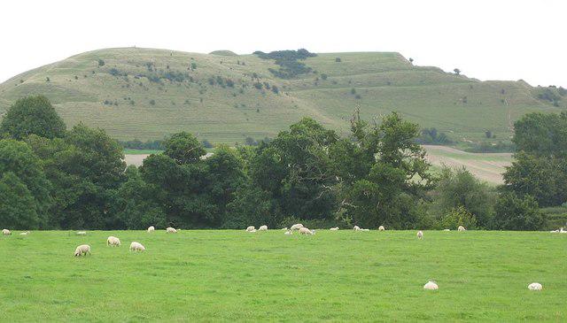
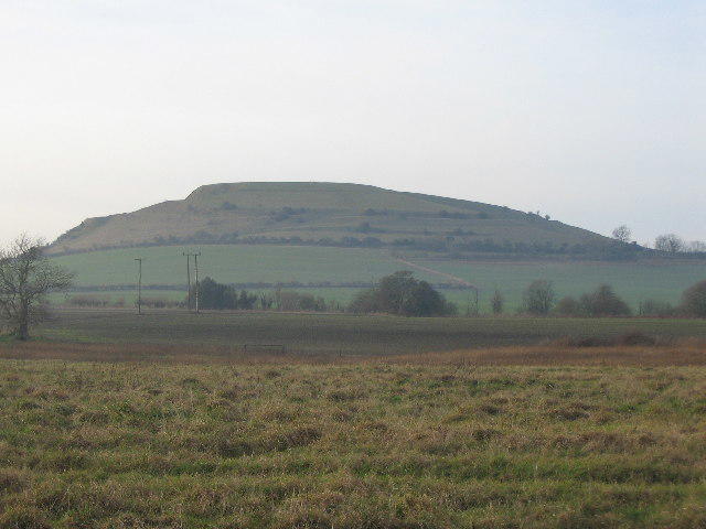
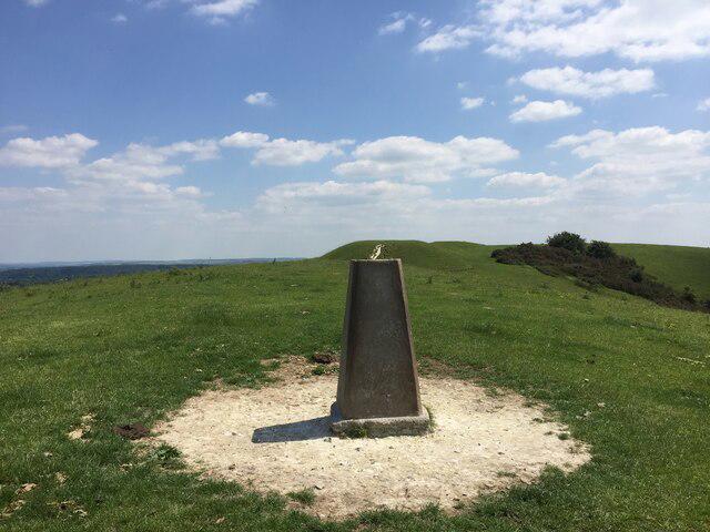
The summit is adorned with a prominent trig point, and nearby you might find remnants of ancient earthworks. It’s said these Hill Forts were built by anyone trying to stake a claim for the best picnic spot.
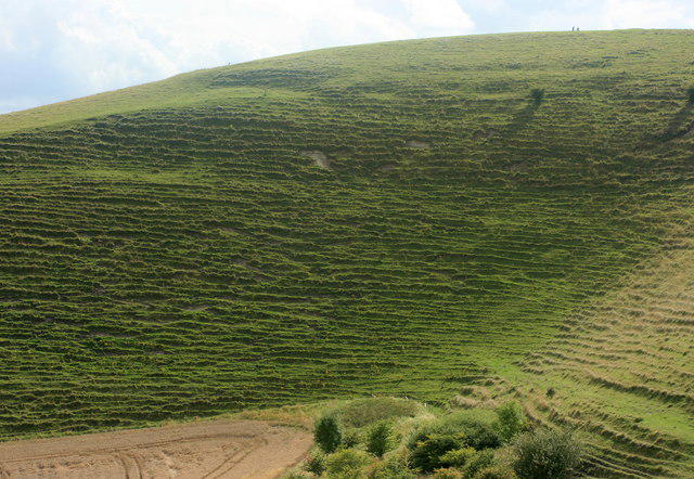
Cley Hill is primarily composed of limestone, formed during the Mid Jurassic period, giving it unique rocky outcrops and a characteristic steep slope that would make even a goat reconsider its life choices.
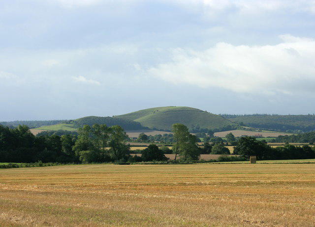
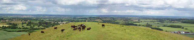
Breathtaking views of the surrounding countryside, including Longleat and the serene landscapes of Wiltshire and Somerset.
The name 'Cley' is derived from the Old English word for 'hill', possibly indicating that those who named it were not particularly imaginative.
Historically, Cley Hill has been a site of human habitation since the Iron Age, making it a witness to a myriad of historical events—though it hasn't written any memoirs yet.
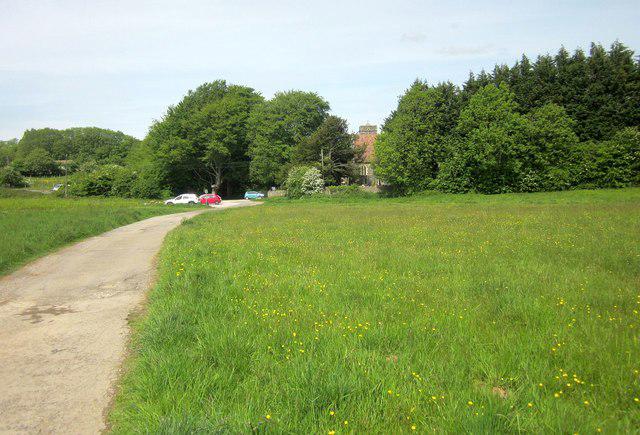
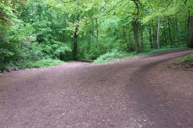
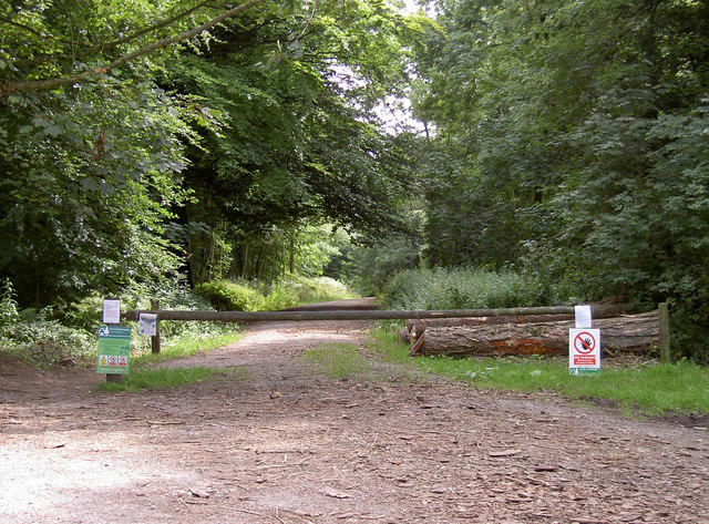
This popular circular route begins at the National Trust car park near the base of Cley Hill. The walk ascends the hill via a winding path, offering panoramic views of the surrounding countryside. After reaching the summit, the route descends along the northern slope before looping back through fields and woodland to the starting point.
Starting from the same National Trust car park, this route combines the ascent of Cley Hill with an extended loop through nearby woodland and farmland. After enjoying the summit views, the trail heads eastward, meandering through shaded paths before returning via an open field path.
This longer route begins at the National Trust car park and takes in the summit of Cley Hill before heading south toward the boundary of the Longleat Estate. The walk offers a mix of open countryside and shaded trails, with occasional glimpses of Longleat House in the distance, before looping back to the start.
This shorter route is designed for those looking to experience a sunrise from the summit of Cley Hill. The walk starts at the base of the hill and follows a direct path to the top. After enjoying the views, walkers return via the same path, making it a quick yet rewarding hike.
This route combines a visit to Cley Hill with a section of the historic Wessex Ridgeway. Starting from the car park, the trail ascends Cley Hill before heading west to join the Ridgeway. Walkers follow the path through rolling countryside and return via a series of connecting trails.
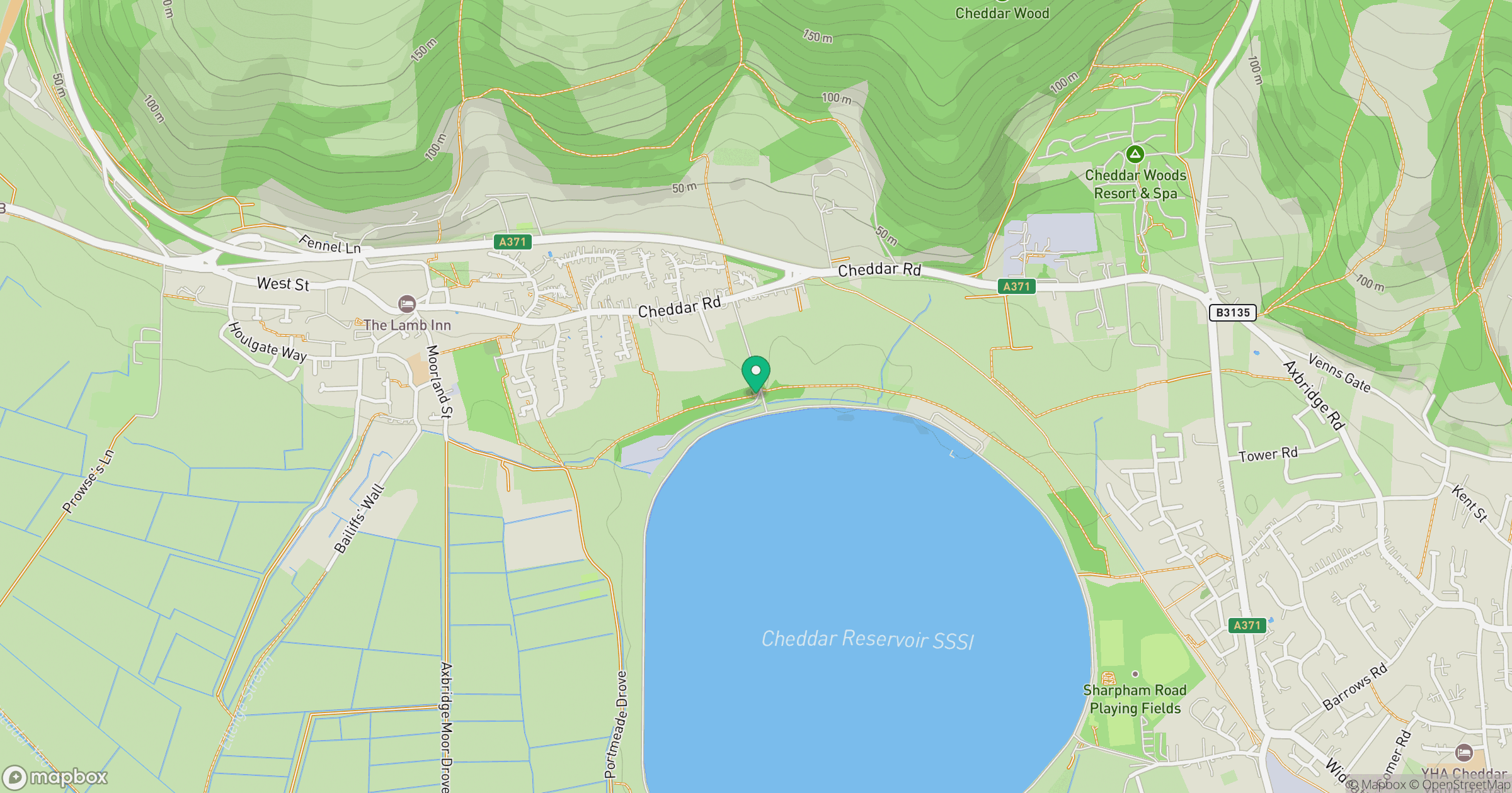
The Cley Hill car park is conveniently located at ST839444, with enough spaces for vehicles—a bit like a game of Tetris if you're there during peak times.
The nearest station is Warminster, from which local buses run to the village of Heytesbury. Good luck, you might need it with the bus schedules!
The closest facilities include The Corner Shop in Heytesbury, offering refreshments and the occasional chat about local flora and fauna.
Join friendly walkers exploring Cley Hill and surrounding area
More walks starting close to this area
Create a walk and let others join you. It's free and easy!
Some common questions about the hills answered
Many walkers use Walkmates to join or organise walks with others. You can check for group walks around Cley Hill through the maps
Activity varies by location and time, but Walkmates lets you see whether others have shared walks or shown interest in this area. Find other people through the walking friends search walking friends for Cley Hill search or of course create your own walk for Cley Hill
Yes. If there aren’t any walks listed already, you can create a walk and make it available for others to join.
If you're signed up to Walkmates, you can create a walk to Cley Hill.
There are often multiple ways to walk this hill, depending on experience and route preference. Walkmates helps you explore walks and routes that others have shared.
Yes. You can suggest or create routes to share with others. Walkmates focuses on the social side of walking, so routes are used to help people organise walks and explore areas together, rather than as detailed navigation tools or route libraries.
Other uses really appreciate knowledgeable walkers sharing their routes. Share your favourite route to Cley Hill here
We always strive to keep the information on Walkmates as accurate as possible. If you find an error, please let us know through the contact form and we'll aim to correct it as quickly as possible
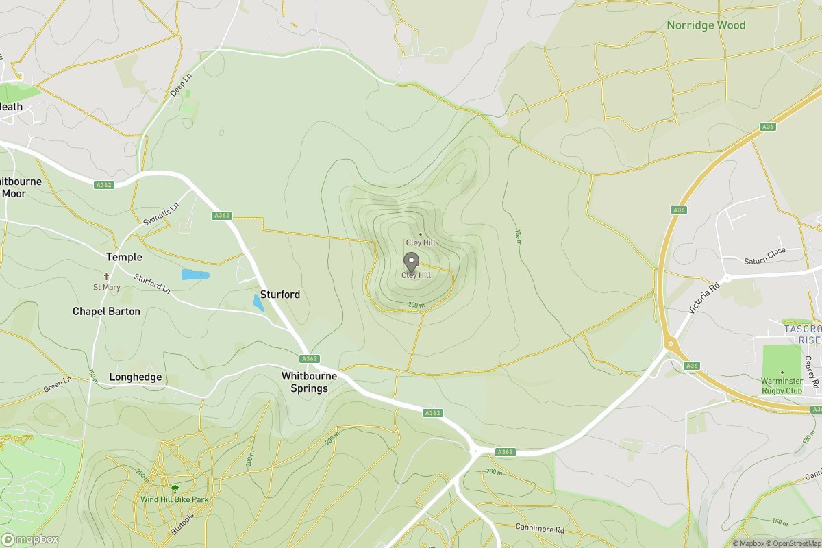
Grid Ref: ST838448
Glastonbury Tor
158m
Worcestershire Beacon
425m
Titterstone Clee Hill
533m
Dunkery Beacon
520m
Cribyn
795m
+ 5 more nearby hills
Find more walking companions in the area
No comments yet. Be the first.