Upland / Hill
OutAndBack
Medium
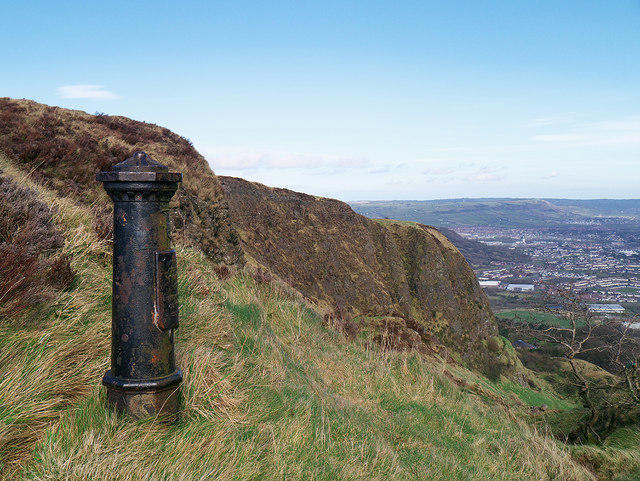
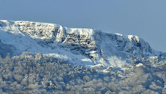
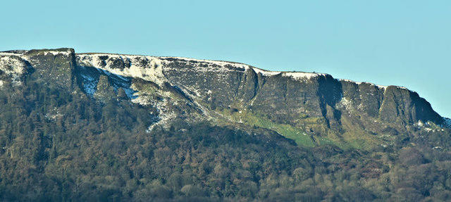
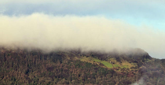
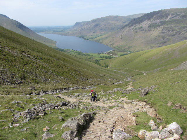
Goatfell from Cladach
PaulWalkmates
Walk organiser
No comments yet. Be the first.