
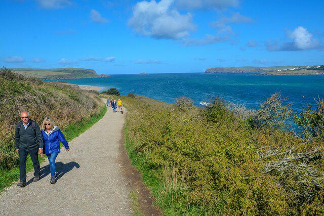
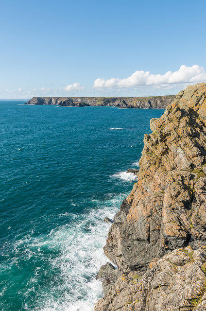
Coastal
Circular
Medium
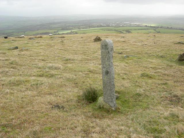
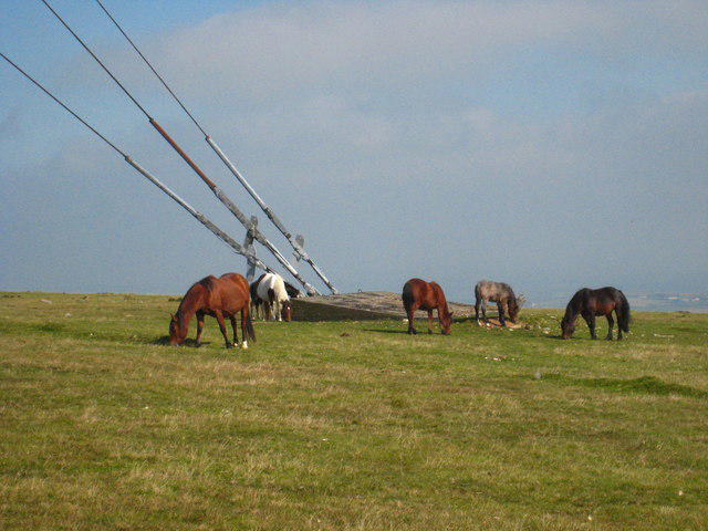
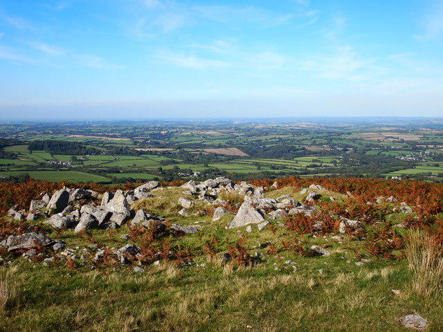
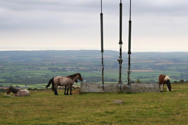
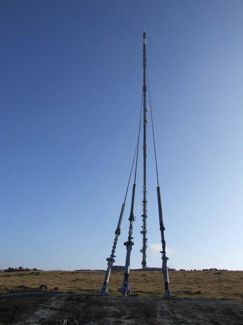
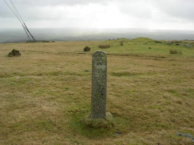
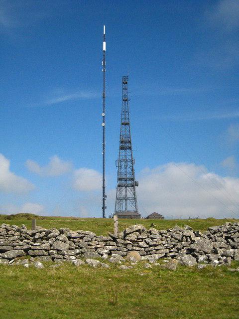
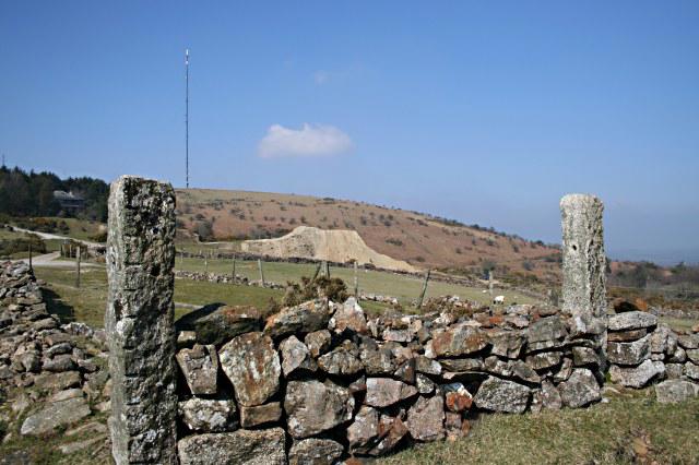
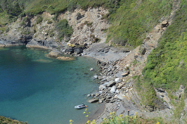
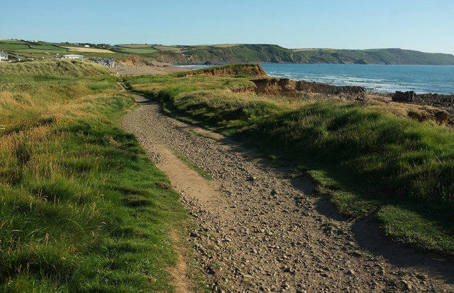
Ropehaven Cliffs and Black Head
PaulWalkmates
Walk organiser
No comments yet. Be the first.