

Brean Down
Good walks are even better shared.
ST2859 : Brean : Brean Down
Lewis Clarke Photo source
Overview
Brean Down
Hill and summit
Brean Down is a 97 m Somerset headland, classed as a Tump and Subhump. The natural high point at ST2849259012 lies just northwest of the trig pillar. The fort is farther west on lower ground.
Walking route
The National Trust's coastal circuit starts and finishes at Cove Café, ST296588. Its published totals are 4.8 km and 50–70 minutes; allow longer for stops and conditions. The outward southern line passes archaeological remains and the high ridge before reaching the fort. Return on the northern side to the steps and café. The published beach approach is tide-dependent. A road alternative or an exact-summit detour changes the line; those variations have no verified totals here. Carry the Trust's route map.
Landscape and history
Carboniferous limestone and dolomitised beds form the headland. Archaeological remains span prehistoric settlement, an Iron Age hillfort and a Romano-Celtic temple. The western fort dates from the 1860s and was used again in the Second World War. Brean's name has no secure derivation established here.
Access and safety
Use the National Trust car park at the foot of the Down. Confirm its tariff and closing time. Café and toilet hours vary. First's service 20 serves Brean, with an additional walk to the start; check the date-specific timetable.
Cliffs, slippery steps, wind and deep tidal mud require care. Keep children supervised and dogs on leads. Do not explore mudflats or try to cross the Axe estuary. The views reach across the Bristol Channel when visibility permits.
Other hills
Brent Knoll, 139 m, is a separate outing and is not included in this circuit.
Explore routes near Brean Down
Walks starting near this hill. Open a route to check its map, distance and full itinerary.
Weston-super-Mare Walk with Men Walking & Talking
View route
Yatton to Sandford Strawberry Line and Cider Orchards
View route
Cheddar River Yeo and Stubbingham Drove Circuit
View route
Ramscombe, Dead Woman’s Ditch and Adscombe woodland circuit, Quantock Hills
View route
Route planning notes
These notes describe possible approaches. Check a route's map and access information when planning your walk.
Brean Down coastal circuit
Start and finish at Cove Café, ST296588. Use the published low-tide beach approach to the steep steps only when safe, then follow the southern path past the temple and field remains, over the high ridge to the western fort. Return along the northern side past the Iron Age earthworks, curving back to the steps and café. National Trust totals: 4.8 km, 50–70 minutes; stops take longer. Check tide conditions for the return too. The military-road alternative and any exact-summit diversion are different lines without verified totals here. https://www.nationaltrust.org.uk/visit/somerset/brean-down/brean-down-coastal-walk
Make a day of it, together
Find someone to share the walk with, or organise a day out along a route you like.
Photo Gallery
View all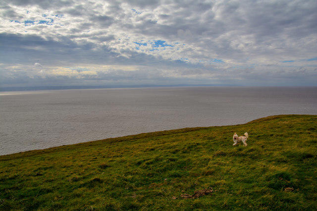 Photo could not load
ST2859 : Brean : Brean Down
Lewis Clarke
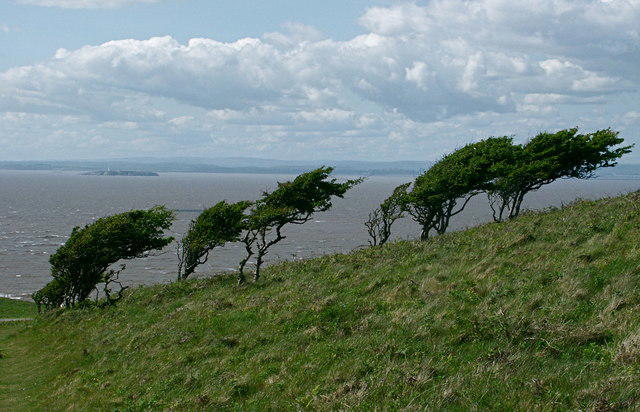 Photo could not load
ST2858 : Weather-beaten trees on the top of Brean Down, North Somerset
Anthony O'Neil
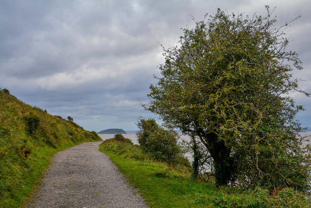 Photo could not load
ST2859 : Brean : Brean Down
Lewis Clarke
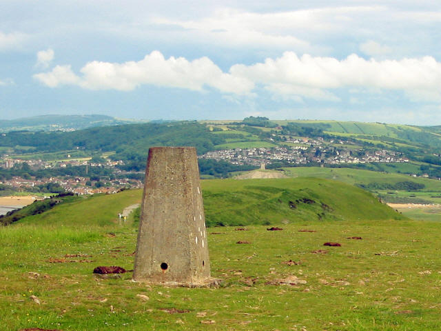 Photo could not load
ST2858 : Trig point on Brean Down
Ken Grainger
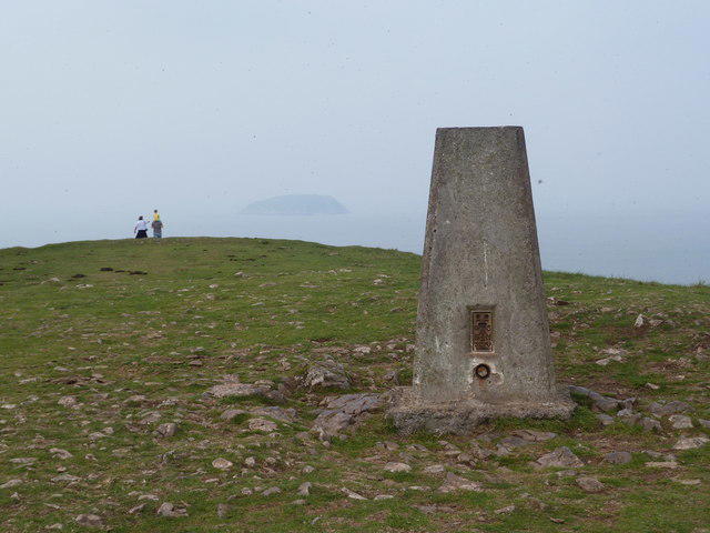 Photo could not load
ST2858 : Trig point, Brean Down
Ruth Sharville
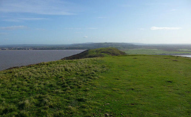 Photo could not load
ST2859 : Brean Down - Both Sides Now (2)
Chris Talbot
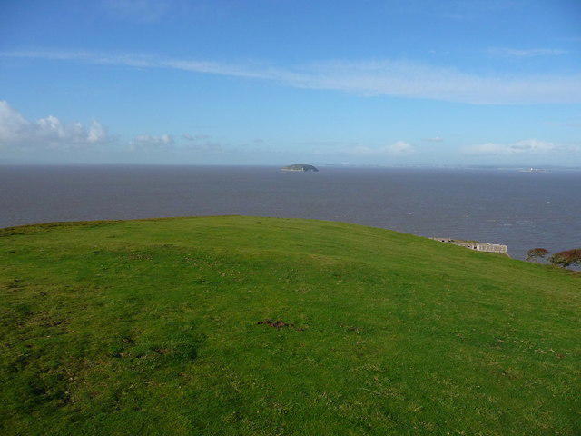 Photo could not load
ST2859 : Brean Down - Steep Holm
Chris Talbot
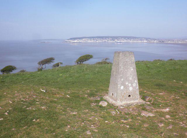 Photo could not load
ST2858 : Trig Point on Brean Down
Roger Cornfoot
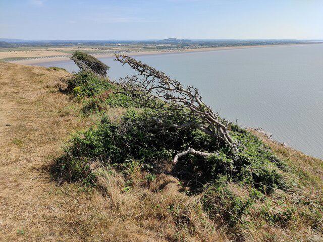 Photo could not load
ST2858 : Wind-shaped trees on Brean Down
Mat Fascione
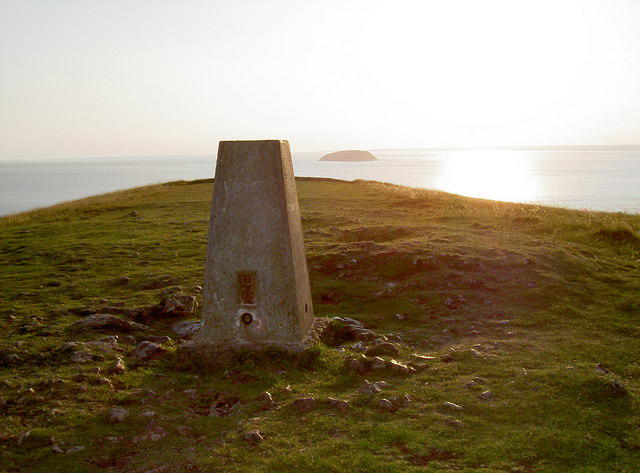
ST2859 : Brean Down trig point
Neil Owen
Hill facts and local notes
Classifications
Elevation
97m
318 ft
Prominence
91m
Coordinates
51.3256, -3.0277
ST284590
OS Map
182
Explorer: 153
At the Summit
The 97 m summit is natural ground a few metres northwest of the trig pillar, at ST2849259012. The Victorian fort is a separate, lower objective at the western end of the headland.
Terrain & Geology
Brean Down is a Carboniferous Limestone headland, continuing the Mendip rocks westwards. Some beds have been altered to dolomite; the coastal exposures show several formations.
Views & Scenery
Bristol Channel, the Somerset coast and Weston Bay, with the Welsh coast visible in clear conditions.
History & Heritage
Name Origin
The origin of the place-name Brean is uncertain.
Historical Significance
The scheduled archaeological landscape includes prehistoric settlement and burials, an Iron Age hillfort and a Romano-Celtic temple. The fort at the western tip was built in the 1860s and reused during the Second World War.
Getting There & Facilities
Parking
National Trust car park beside Cove Café at the foot of the Down, Brean Down Road, TA8 2RS. Charges apply to non-members; check the current tariff and closing time. Members must register their membership for free parking.
Public Transport
First service 20 connects Weston-super-Mare, Brean and Burnham-on-Sea. The bus approach through Brean adds a substantial walk to the Down, outside the circuit distance. Check stops and the last return; the operator lists 1 November 2026 as the last seasonal Sunday service.
Nearby Facilities
Café and toilets, including an accessible toilet and baby-change facilities, are beside the car park. Check opening hours; there are no regular facilities on the headland.
Safety Information
Known Hazards
- Stay on the main paths, away from the very steep cliff edges; supervise children.
- Keep dogs on leads throughout the Down; grazing livestock may be present.
- Wind, wet grass, rocks and steps can make the exposed headland hazardous, with little shelter.
- Check tides before using any beach approach. Avoid dangerous deep mud and never attempt an estuary shortcut.
General Safety Tips
- Check weather conditions before setting out
- Carry appropriate clothing and equipment
- Let someone know your planned route
- Take a map, compass, and GPS device
- Carry emergency supplies: food, water, first aid kit, torch
Hills
Some common questions about the hills answered
Are there group walks up Brean Down?
Many walkers use Walkmates to join or organise walks with others. You can check for group walks around Brean Down through the maps
Are there other walkers around Brean Down?
Activity varies by location and time, but Walkmates lets you see whether others have shared walks or shown interest in this area. Find other people through the walking friends search walking friends for Brean Down search or of course create your own walk for Brean Down
Can I organise a walk to Brean Down?
Yes. If there aren’t any walks listed already, you can create a walk and make it available for others to join.
If you're signed up to Walkmates, you can create a walk to Brean Down.
How do I find a walk up this hill?
There are often multiple ways to walk this hill, depending on experience and route preference. Walkmates helps you explore walks and routes that others have shared.
Can I suggest a new route up Brean Down?
Yes. You can suggest or create routes to share with others. Walkmates focuses on the social side of walking, so routes are used to help people organise walks and explore areas together, rather than as detailed navigation tools or route libraries.
Other uses really appreciate knowledgeable walkers sharing their routes. Share your favourite route to Brean Down here
The is an error or something incorrect about this hill. How do I let you know?
We always strive to keep the information on Walkmates as accurate as possible. If you find an error, please let us know through the contact form and we'll aim to correct it as quickly as possible
Community Discussion
Comments
Location
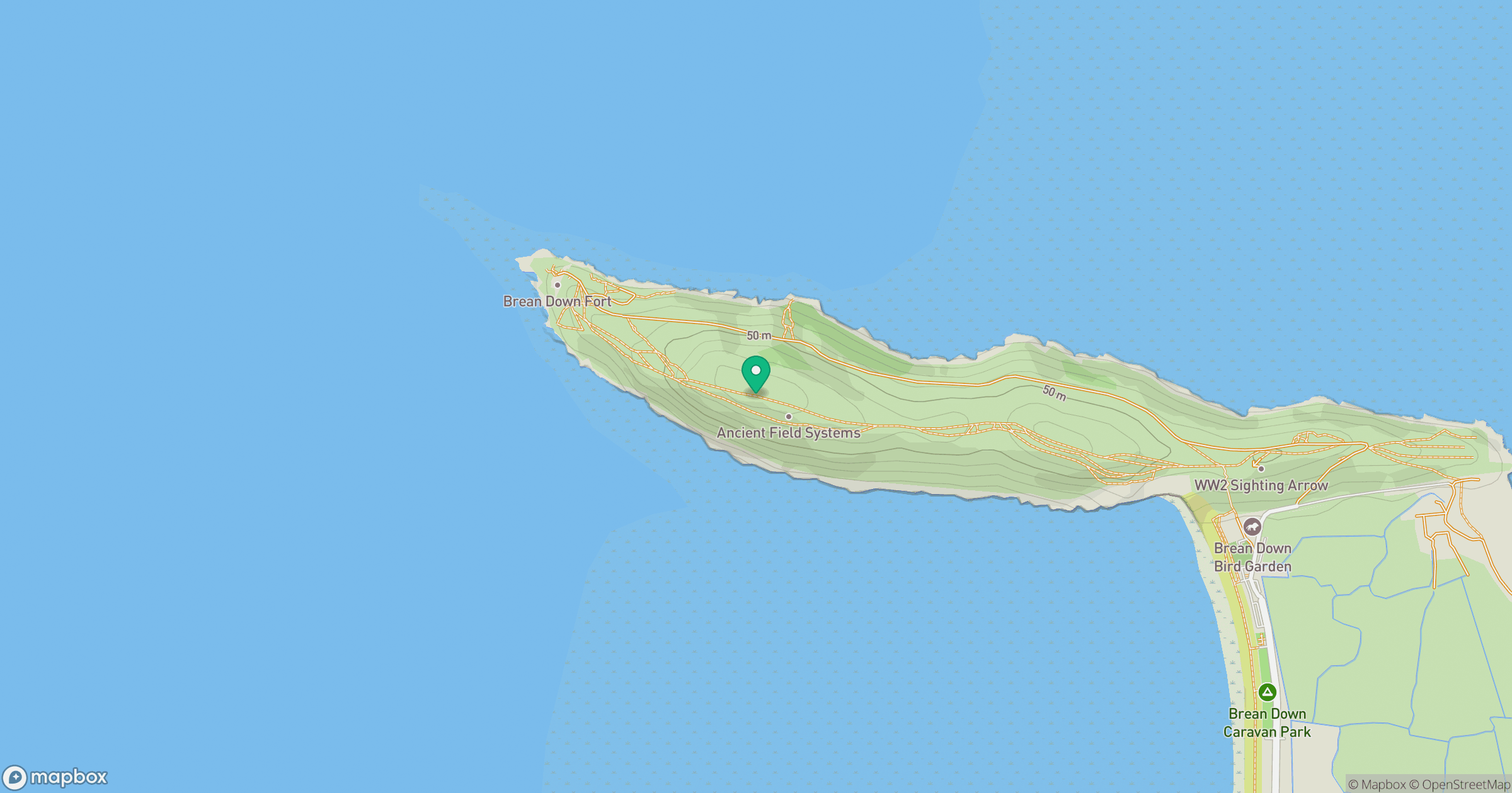
Grid reference: ST284590
View on OpenStreetMapOpens a map in a new tab, centred on the hill.


No comments yet. Be the first.