

Bellever Tor
Good walks are even better shared.
SX6476 : View north from Bellever Tor
Mr Ignavy Photo source
Overview
Exploring Bellever Tor
Bellever Tor, standing at a respectable height of 563 meters, is one of Dartmoor's most accessible summits. Nestled within the vast expanse of Dartmoor National Park in Devon, this granite gem offers not just a refreshing hike but also picturesque views that'll make you swoon.
Geology
As a product of ancient volcanic activity, Bellever Tor features stunning granite formations. The weathered outcrops create an appealing landscape that's a delight for any photo enthusiast. Keep your cameras ready – granite selfies are the new thing!
Routes
One of the most popular routes to Bellever Tor is the Bellever Forest Circular. This moderate hike of approximately 6 km takes about 2.5 hours to complete. You'll meander through enchanting forests before tackling the summit, so don't forget to say hello to the trees along the way!
Summit Features
The summit's granite outcrop is not just any rocky hill – it’s a classic dartmoor tor with ample spots to perch and take it all in. Be prepared, you might have to share your picnic with some local sheep who find it perfectly acceptable to intrude on your snack time.
Views
Make sure you’re at the top for the best views! You’ll be treated to sweeping panoramas of the surrounding moors and the magical River Dart. Recommended times for the best views? Spring and autumn offer vibrant colours that will jazz up your Instagram feed, provided the moody Dartmoor weather plays nice!
Hazards
As with any Dartmoor adventure, pay heed to the weather forecast. Sudden changes can turn your jaunt into a bit of a scramble. And mind those slippery stones – staying upright is highly encouraged!
Access
You can park conveniently at the Bellever Forest car park (SX646767) to kick off your adventure. Public transportation options exist but may require a walk to the trailhead from local towns. Postbridge is your nearest village for tea and perhaps a loo break.
Facilities
While the immediate area lacks amenities, a lovely tearoom in Postbridge is just a short distance away – ideal for refuelling post-hike!
History
The name Bellever translates to 'beautiful river,' a nod to its charming surroundings. Historically, this area has drawn hikers since the days of yore, and it's not hard to see why.
So there you have it! Bellever Tor not only has rich geology and history but also picturesque trails and eye-catching views. Grab your boots, and don't forget your camera; you'll want to capture those moments!
Explore routes near Bellever Tor
Walks starting near this hill. Open a route to check its map, distance and full itinerary.
Moretonhampstead to Lustleigh: Wray Valley woodland railway trail
View route
Castle Drogo and Fingle Bridge: Teign Gorge woodland circuit
View route
Cotehele: Danescombe Valley and Mining Heritage Circuit
View route
Exeter Canal, Double Locks and Countess Wear river circuit
View route
Route planning notes
These notes describe possible approaches. Check a route's map and access information when planning your walk.
Bellever Forest Circular
A scenic loop through Bellever Forest that culminates in a summit ascent to Bellever Tor, offering picturesque views of the Dartmoor National Park.
Make a day of it, together
Find someone to share the walk with, or organise a day out along a route you like.
Photo Gallery
View all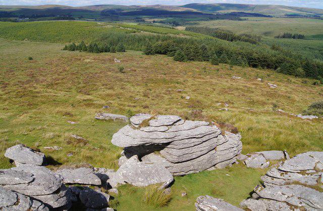 Photo could not load
SX6476 : View north from Bellever Tor
Mr Ignavy
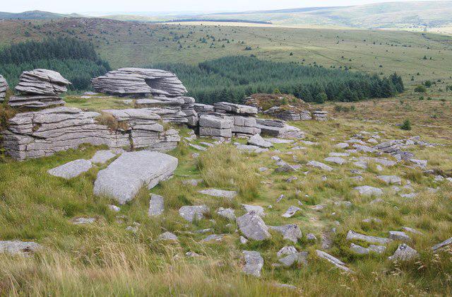 Photo could not load
SX6476 : View south from Bellever Tor
Mr Ignavy
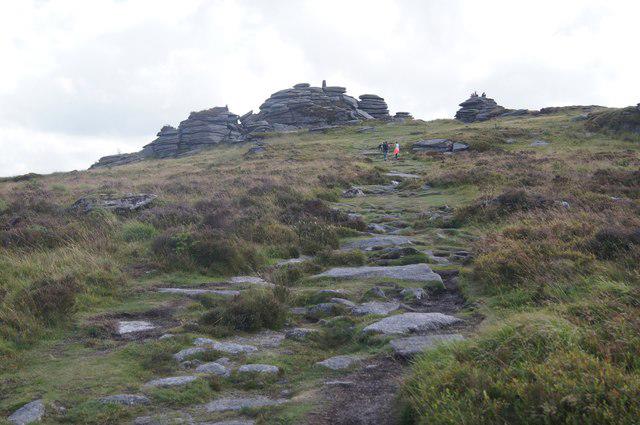 Photo could not load
SX6476 : Approach to Bellever Tor
Mr Ignavy
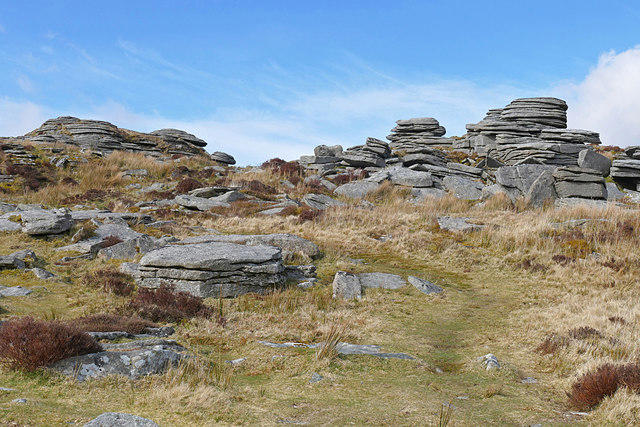 Photo could not load
SX6476 : Bellever Tor, Dartmoor
Alan Hunt
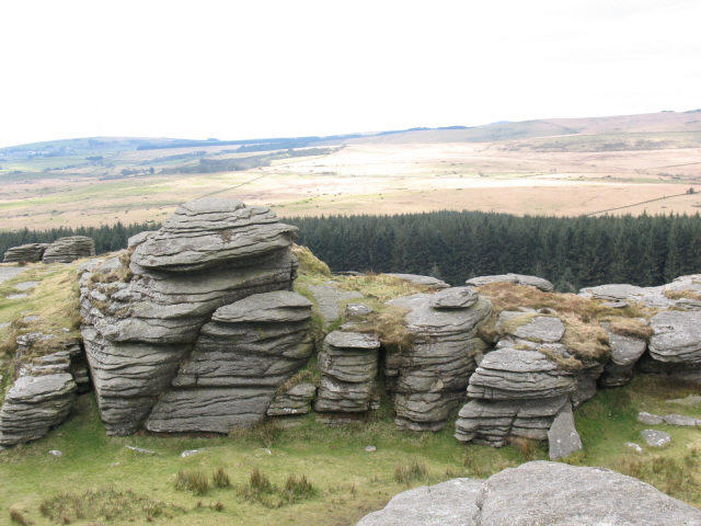 Photo could not load
SX6476 : Bellever Tor: across the gap
Stephen Craven
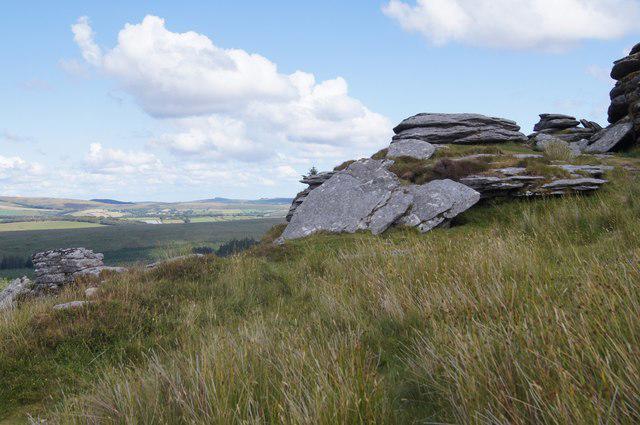 Photo could not load
SX6476 : Bellever Tor & surrounds
Mr Ignavy
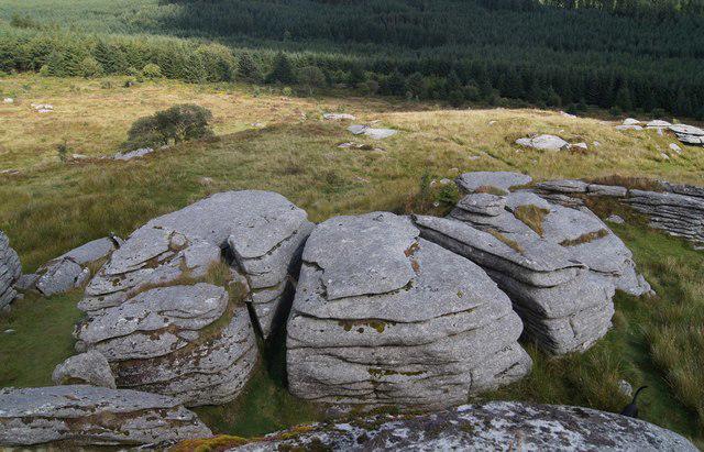 Photo could not load
SX6476 : Bellever Tor - Dartmoor
Mr Ignavy
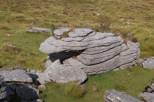 Photo could not load
SX6476 : Bellever Tor - Dartmoor
Mr Ignavy
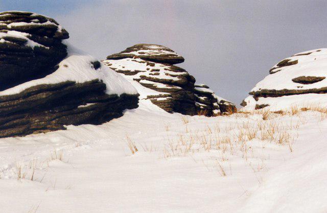 Photo could not load
SX6476 : Bellever Tor
Chris Andrews
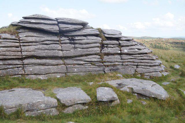
SX6476 : Bellever Tor - Dartmoor
Mr Ignavy
Hill facts and local notes
Classifications
Elevation
444m
1,457 ft
Prominence
74m
Coordinates
50.5719, -3.9153
SX644764
OS Map
191
Explorer: OL28N OL28S
At the Summit
The summit features an impressive granite outcrop, offering ample space for hikers to rest and take in the views. There are several small boulders and a few curious sheep that might keep you company!
Terrain & Geology
Bellever Tor is composed primarily of granite, a product of the ancient volcanic activity that shaped Dartmoor. The tor showcases stunning examples of weathered granite, forming boulders and outcrops that make for thrilling landscapes.
Views & Scenery
From the summit, you can enjoy views of the surrounding moorlands, the River Dart and even distant landmarks like High Willhays, the highest point in Dartmoor.
History & Heritage
Name Origin
The name 'Bellever' is derived from the Old English term for 'beautiful river', reflecting the picturesque landscape surrounding the area.
Historical Significance
Bellever Tor is an important geological site, showcasing the unique granite formations of Dartmoor as well as serving as a popular hiking destination since the Victorian era.
Getting There & Facilities
Parking
Parking is available at the Bellever Forest car park (SX646767), providing a great starting point for your hike.
Public Transport
Regular bus services operate from nearby towns such as Ashburton and Moretonhampstead, though a short walk may be necessary to reach the trailhead.
Nearby Facilities
There are no facilities located directly at Bellever Tor; however, Postbridge offers a quaint tearoom and public toilets just a short drive or walk away.
Safety Information
Known Hazards
- Beware of sudden weather changes; Dartmoor can be notoriously unpredictable. Be cautious of slippery stones and muddy patches, particularly after rainfall.
General Safety Tips
- Check weather conditions before setting out
- Carry appropriate clothing and equipment
- Let someone know your planned route
- Take a map, compass, and GPS device
- Carry emergency supplies: food, water, first aid kit, torch
Hills
Some common questions about the hills answered
Are there group walks up Bellever Tor?
Many walkers use Walkmates to join or organise walks with others. You can check for group walks around Bellever Tor through the maps
Are there other walkers around Bellever Tor?
Activity varies by location and time, but Walkmates lets you see whether others have shared walks or shown interest in this area. Find other people through the walking friends search walking friends for Bellever Tor search or of course create your own walk for Bellever Tor
Can I organise a walk to Bellever Tor?
Yes. If there aren’t any walks listed already, you can create a walk and make it available for others to join.
If you're signed up to Walkmates, you can create a walk to Bellever Tor.
How do I find a walk up this hill?
There are often multiple ways to walk this hill, depending on experience and route preference. Walkmates helps you explore walks and routes that others have shared.
Can I suggest a new route up Bellever Tor?
Yes. You can suggest or create routes to share with others. Walkmates focuses on the social side of walking, so routes are used to help people organise walks and explore areas together, rather than as detailed navigation tools or route libraries.
Other uses really appreciate knowledgeable walkers sharing their routes. Share your favourite route to Bellever Tor here
The is an error or something incorrect about this hill. How do I let you know?
We always strive to keep the information on Walkmates as accurate as possible. If you find an error, please let us know through the contact form and we'll aim to correct it as quickly as possible
Community Discussion
Comments
Location
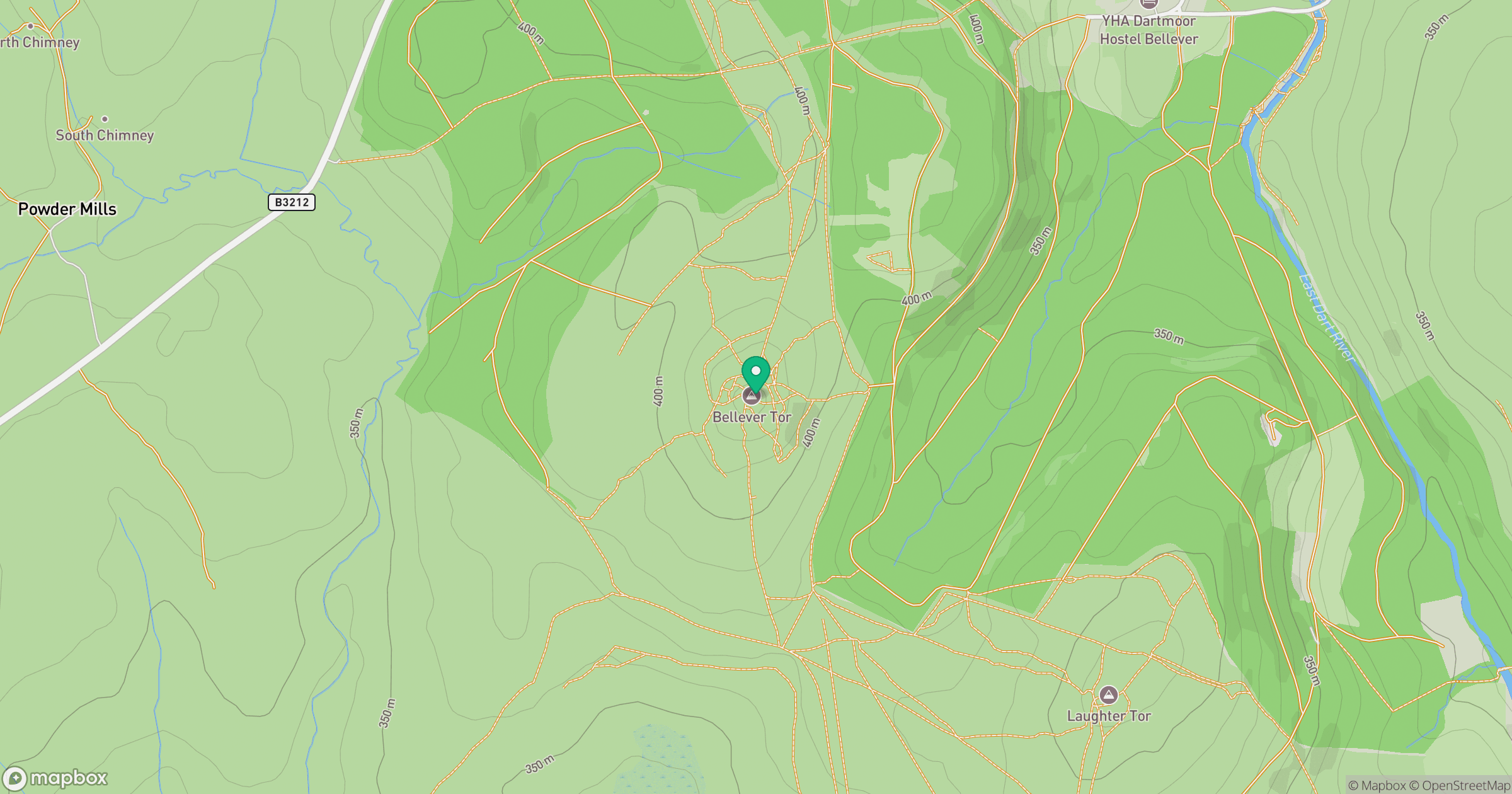
Grid reference: SX644764
View on OpenStreetMapOpens a map in a new tab, centred on the hill.
Nearby Hills

High Willhays
622m

Brent Tor
334m

Dunkery Beacon
520m
Brown Willy
420m
Rhossili Down - The Beacon
193m
No comments yet. Be the first.