

Barry Island
Good walks are even better shared.
ST1266 : Danger - boulders sign, Redbrink Point, Barry
Jaggery Photo source
Overview
Barry Island: A Gem on the Glamorgan Coast
Located off the vibrant coast of South Wales, Barry Island might not boast towering peaks, but what it lacks in elevation it makes up for in scenic beauty and coastal charm. At the heart of the community and a popular retreat, this island offers a delightful escape for hikers, families, and anyone craving a breathe of fresh sea air.
Geology
Barry Island's coastline showcases stunning limestone cliffs and sandy beaches formed centuries ago during the Permian period. As you wander along the paths, keep your eyes peeled for intriguing rock formations and fossils that tell the tale of our planet's history.
Routes
The Barry Island Coastal Path is a lovely, easy walk that stretches approximately 3.5 km, perfect for families looking to explore the coastline without breaking a sweat. For those seeking a slightly more adventurous outing, try the Barry Island Circular Walk—a moderate 5.5 km trek around the island offering a mix of coastal beauty and park areas.
Summit Features
While Barry Island doesn’t have a conventional summit, the coastal viewpoints and sandy beaches provide ample spots to pause and soak in the breathtaking views, especially on clearer days.
Views
From the shoreline, gaze out at the shimmering waters of the Bristol Channel, taking in the distant hills of Somerset. Best seasons for these views? Spring and summer are your best bet, where sunny days can turn a good view into a glorious one.
Hazards
Do keep an eye out for the changing tides along the coastline and be wary of cliffs when exploring. Always consult tide charts as well.
Access
Getting to Barry Island is a breeze! With several car parks available, just remember to arrive early during peak times. Alternatively, hop on a train from Cardiff for a stress-free journey.
Facilities
Barry Island isn’t short on amenities. With cafes lining the promenade and some fine establishments serving up ice cream, your post-walk cravings will surely be catered to.
History
The name 'Barry' reveals its maritime past, suggesting a place often visited by ferry traffic. Once a popular holiday spot in the early 20th century, Barry Island still retains that charm today, inviting everyone for a day of sun, sea, and relaxation.
So, whether you're up for a casual stroll, a family outing, or a seaside picnic, Barry Island welcomes you with open arms and a warm breeze. Don’t forget your sun hat and a good book—this is one spot where time jauntily tiptoes by.
Enjoy your adventure!
Explore routes near Barry Island
Walks starting near this hill. Open a route to check its map, distance and full itinerary.
Cardiff: Hailey Park to Blackweir Bridge on the Taff Trail
View route
Weston-super-Mare Walk with Men Walking & Talking
View route
Dunster, Gallox Bridge and Bats Castle: deer park hillfort circuit
View route
Newport Fourteen Locks to Risca: Monmouthshire Canal Return
View route
Route planning notes
These notes describe possible approaches. Check a route's map and access information when planning your walk.
Barry Island Coastal Path
An easy stroll along the coastline, ideal for families and those seeking a gentle walk with stunning views of the Bristol Channel.
Barry Island Circular Walk
A slightly longer route that takes you around the island with a mixture of coastal paths and park areas, perfect for a leisurely afternoon.
Make a day of it, together
Find someone to share the walk with, or organise a day out along a route you like.
Photo Gallery
View all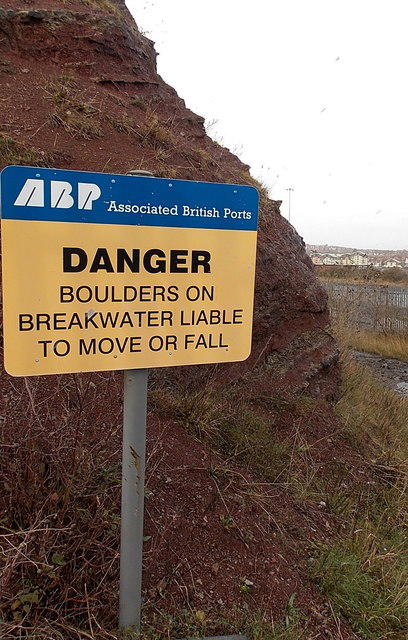 Photo could not load
ST1266 : Danger - boulders sign, Redbrink Point, Barry
Jaggery
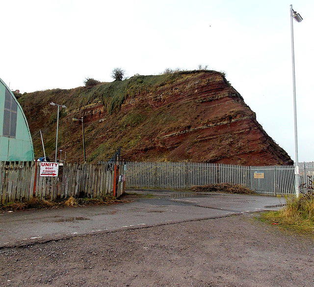 Photo could not load
ST1266 : Eastern edge of the cliff at Redbrink Point, Barry
Jaggery
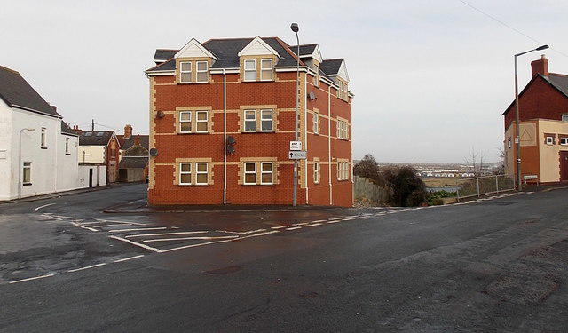 Photo could not load
ST1166 : The Triangle, Barry Island
Jaggery
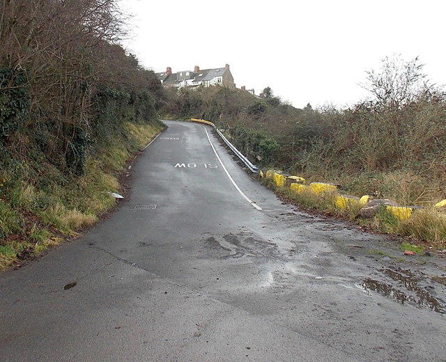 Photo could not load
ST1267 : Dock Road, Barry Island
Jaggery
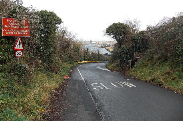 Photo could not load
ST1166 : 20mph speed limit on Dock Road, Barry Island
Jaggery
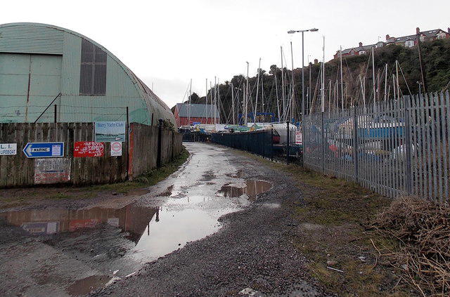 Photo could not load
ST1266 : This way to Barry Yacht Club
Jaggery
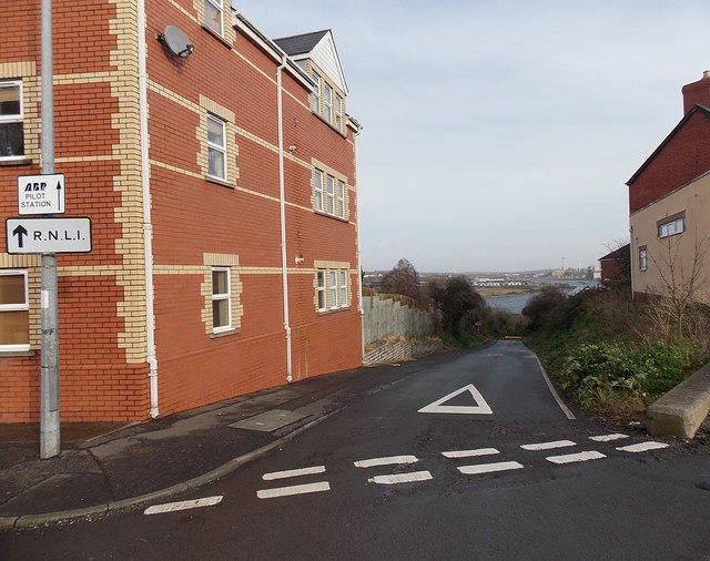 Photo could not load
ST1166 : Dock Road, Barry Island
Jaggery
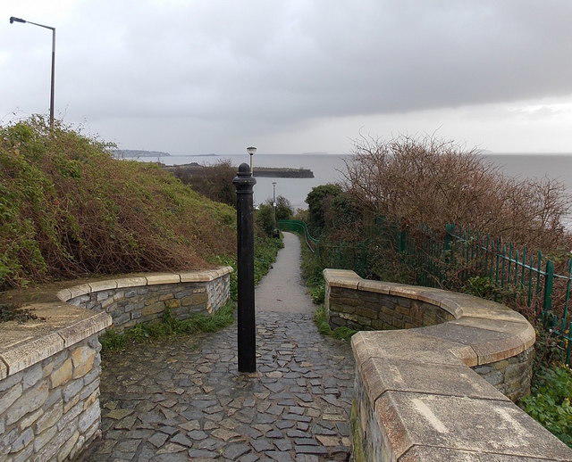 Photo could not load
ST1266 : Path to Jackson's Bay, Barry
Jaggery
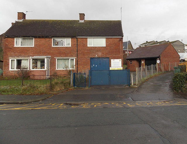 Photo could not load
ST1166 : Barry Island Coastguard Rescue Station
Jaggery
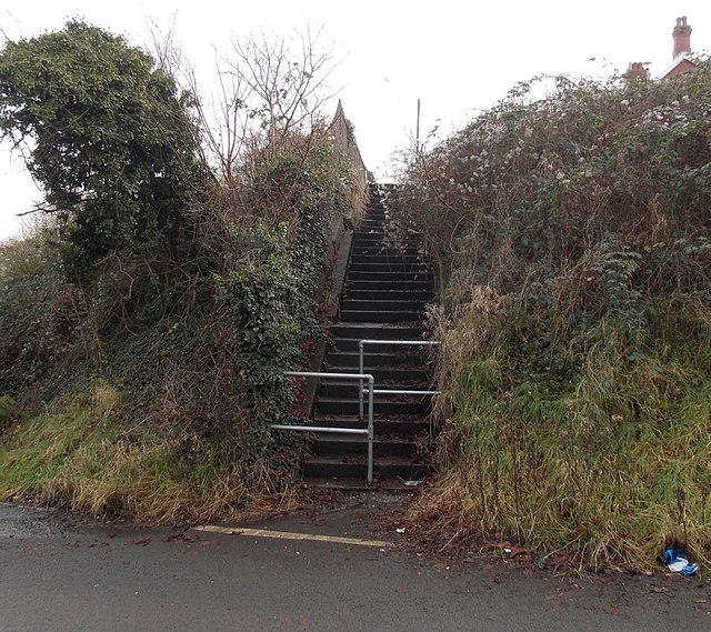
ST1166 : Flight of steps, Dock Road, Barry Island
Jaggery
Hill facts and local notes
Classifications
Elevation
42m
136 ft
Prominence
34m
Coordinates
51.3935, -3.2659
ST120668
OS Map
171
Explorer: 151E
At the Summit
The island features several coastal viewpoints, sandy beaches, and a lovely pier making it an excellent spot for relaxation and scenic views, though there's no official summit as it is relatively flat.
Terrain & Geology
Predominantly composed of sedimentary rocks, Barry Island features beautiful limestone cliffs and sandy beaches formed during the Permian period, providing a striking backdrop for walkers and beachgoers alike.
Views & Scenery
On a clear day, expect stunning views across the Bristol Channel to Somerset and the picturesque coastlines of South Wales.
History & Heritage
Name Origin
The name 'Barry' is derived from the Old Welsh word 'bara', meaning 'to come', referring to the ferry traffic between the island and the mainland.
Historical Significance
Once a bustling holiday destination in the early 20th century, Barry Island has a rich history and cultural significance, serving as a beloved beach escape for locals.
Getting There & Facilities
Parking
There are several car parks available at the main beach area, typically busy on sunny days, so arrive early if you don't fancy a walk to the beach from the outskirts.
Public Transport
Barry Island is well-served by train services from Cardiff, with frequent connections, making it an easy destination for day-trippers.
Nearby Facilities
You’ll find several cafes and ice cream shops along the promenade, along with public toilets for your convenience.
Safety Information
Known Hazards
- Be cautious of the changing tides along the coast and keep an eye on the weather, particularly when venturing near the cliffs.
General Safety Tips
- Check weather conditions before setting out
- Carry appropriate clothing and equipment
- Let someone know your planned route
- Take a map, compass, and GPS device
- Carry emergency supplies: food, water, first aid kit, torch
Hills
Some common questions about the hills answered
Are there group walks up Barry Island?
Many walkers use Walkmates to join or organise walks with others. You can check for group walks around Barry Island through the maps
Are there other walkers around Barry Island?
Activity varies by location and time, but Walkmates lets you see whether others have shared walks or shown interest in this area. Find other people through the walking friends search walking friends for Barry Island search or of course create your own walk for Barry Island
Can I organise a walk to Barry Island?
Yes. If there aren’t any walks listed already, you can create a walk and make it available for others to join.
If you're signed up to Walkmates, you can create a walk to Barry Island.
How do I find a walk up this hill?
There are often multiple ways to walk this hill, depending on experience and route preference. Walkmates helps you explore walks and routes that others have shared.
Can I suggest a new route up Barry Island?
Yes. You can suggest or create routes to share with others. Walkmates focuses on the social side of walking, so routes are used to help people organise walks and explore areas together, rather than as detailed navigation tools or route libraries.
Other uses really appreciate knowledgeable walkers sharing their routes. Share your favourite route to Barry Island here
The is an error or something incorrect about this hill. How do I let you know?
We always strive to keep the information on Walkmates as accurate as possible. If you find an error, please let us know through the contact form and we'll aim to correct it as quickly as possible
Community Discussion
Comments
Location
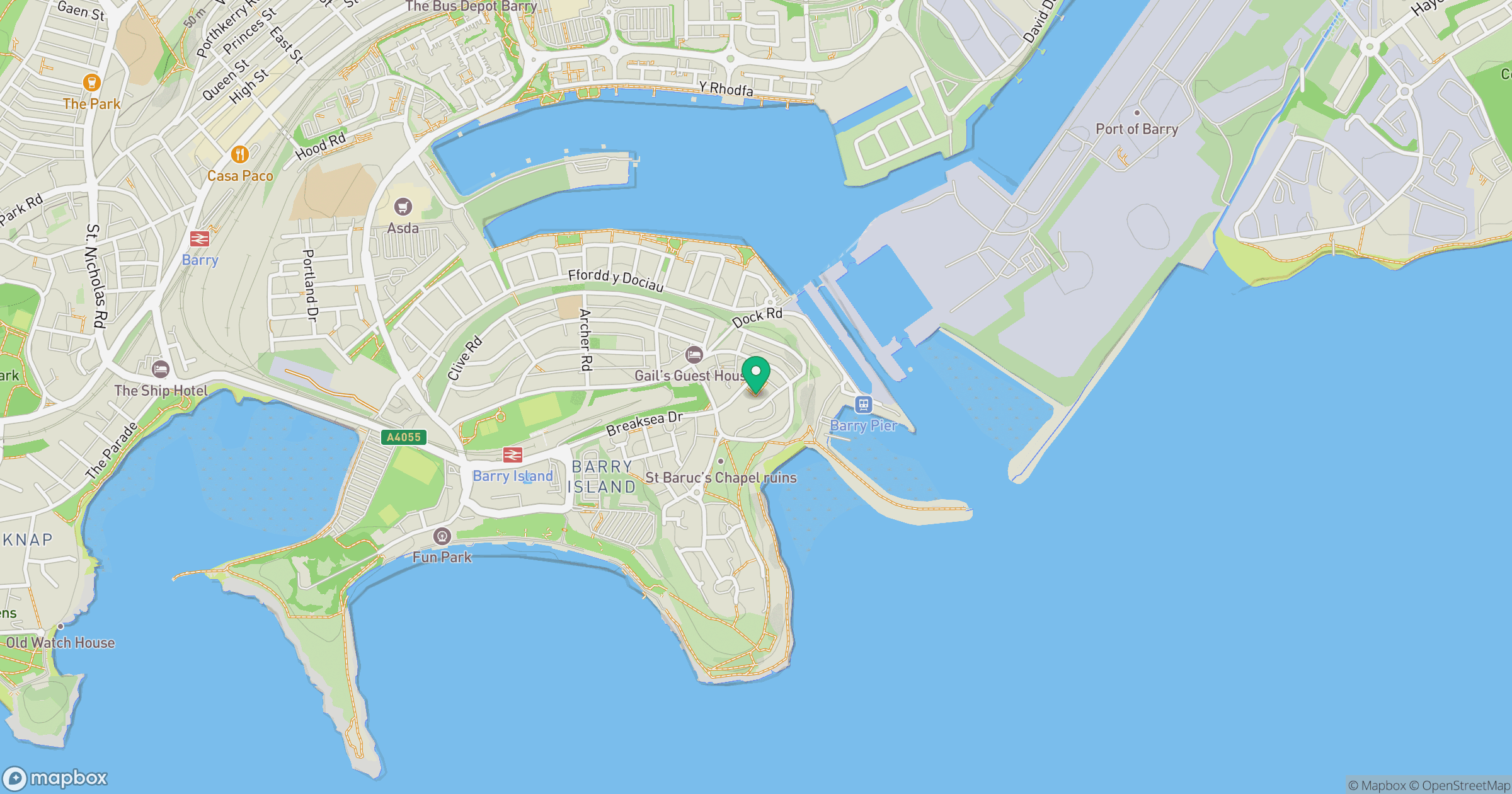
Grid reference: ST120668
View on OpenStreetMapOpens a map in a new tab, centred on the hill.


No comments yet. Be the first.