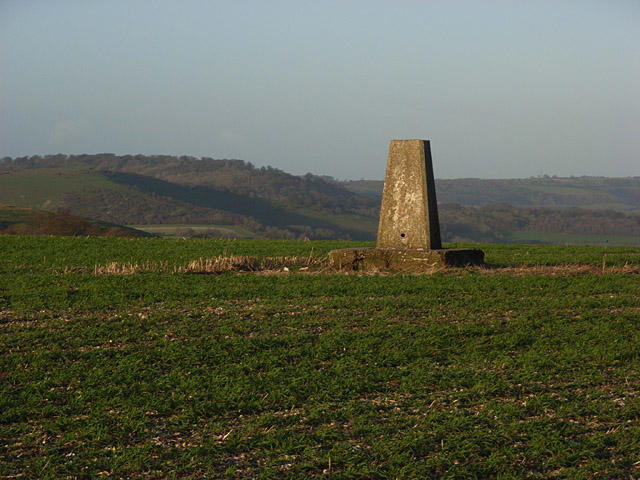
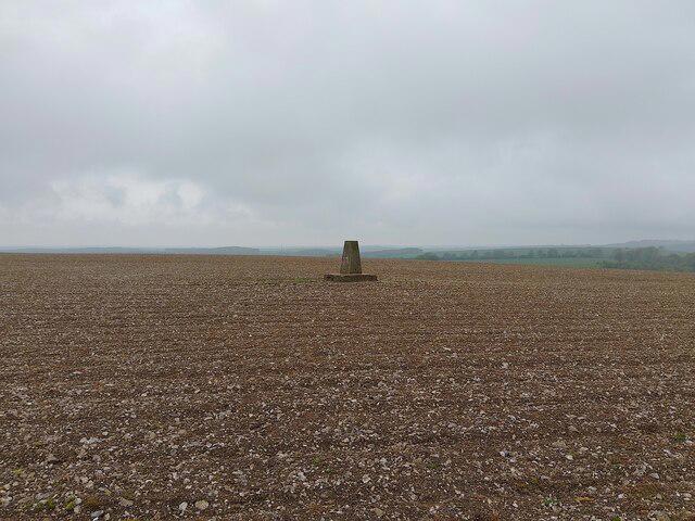
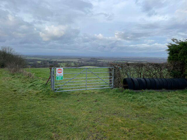
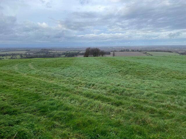
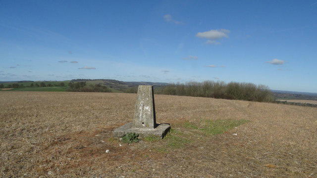
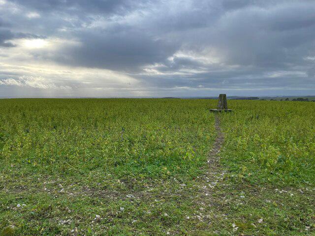
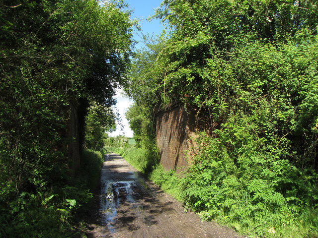
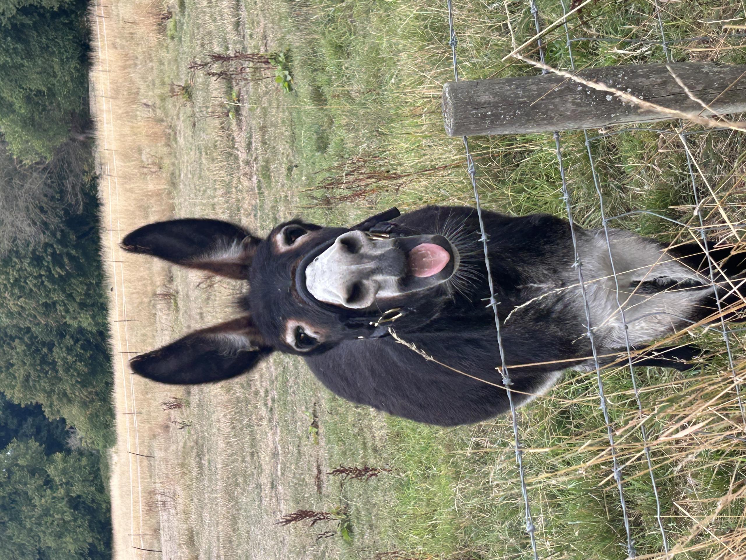
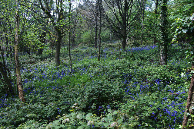
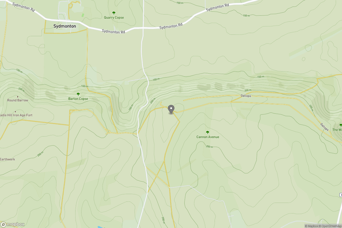
Watership Down

Watership Down

Watership Down Group Walks | Join a Walk

237m Elevation
95m Prominence
England Country

Join group walks, find walking companions and friends, or organise your own!

Classifications

200-299m Tump Sub-Hump

Looking for walking companions?

Don't walk alone! Find friendly walkers to explore Watership Down together. Join scheduled group walks or start your own.

Elevation

237m

778 ft

Prominence

95m

Coordinates

51.3083, -1.2910

SU495568

OS Map

174

Explorer: 144W

At the Summit

At the summit, you'll find a simple but iconic trig point, along with sweeping views of the surrounding countryside that inspire trekkers and dreamers alike.

Terrain & Geology

Predominantly grassy with a few rocky patches typical of the chalk downs.

The Down is primarily composed of chalk, which forms spectacular escarpments and supports a unique ecosystem of flora and fauna, making it a favourite among naturalists.

Views & Scenery

On a clear day, you can see far into the distance, including the historic towns of Kingsclere and Newbury, as well as glimpses of the North Wessex Downs.

History & Heritage

Name Origin

Watership Down's name hints at its association with water—'Waters' and the old English word 'dun', meaning hill.

Historical Significance

It's famously known from Richard Adams’ beloved novel 'Watership Down', capturing the hearts of many with its anthropomorphised rabbits and their adventures.

Popular Routes

Watership Down Trail

Moderate

A moderately challenging loop path that meanders across the stunning landscapes surrounding Watership Down, offering spectacular views and diverse wildlife.

5.6 km 2.5 hours

The Ridge Walk from Kingsclere

Moderate

Starting from the charming village of Kingsclere, this scenic ascent offers a delightful walk through the countryside before reaching the summit of Watership Down.

7.5 km 3 hours

Getting There & Facilities

Parking

Kingsclere has a few options for parking, including free roadside spots on the outskirts, but arrive early to snag a spot.

Public Transport

The nearest train station is in Newbury, from where you can catch a bus or taxi to Kingsclere, about 7 km away.

Nearby Facilities

There are a couple of lovely cafes in Kingsclere serving tea and scones—perfect for refuelling after your hike. Public toilets are also available in the village.

Safety Information

Known Hazards

  • Weather can change rapidly, so it's sensible to dress in layers. Watch out for the occasional slippery northern slope when damp.

General Safety Tips

  • Check weather conditions before setting out
  • Carry appropriate clothing and equipment
  • Let someone know your planned route
  • Take a map, compass, and GPS device
  • Carry emergency supplies: food, water, first aid kit, torch

Find Walking Companions

Join friendly walkers exploring Watership Down and surrounding area

Can't find a walk? Organise your own!

Create a walk and let others join you. It's free and easy!

Hills

Some common questions about the hills answered

Are there group walks up Watership Down?

Many walkers use Walkmates to join or organise walks with others. You can check for group walks around Watership Down through the maps

Are there other walkers around Watership Down?

Activity varies by location and time, but Walkmates lets you see whether others have shared walks or shown interest in this area. Find other people through the walking friends search walking friends for Watership Down search or of course create your own walk for Watership Down

Can I organise a walk to Watership Down?

Yes. If there aren’t any walks listed already, you can create a walk and make it available for others to join.

If you're signed up to Walkmates, you can create a walk to Watership Down.

How do I find a walk up this hill?

There are often multiple ways to walk this hill, depending on experience and route preference. Walkmates helps you explore walks and routes that others have shared.

Can I suggest a new route up Watership Down?

Yes. You can suggest or create routes to share with others. Walkmates focuses on the social side of walking, so routes are used to help people organise walks and explore areas together, rather than as detailed navigation tools or route libraries.

Other uses really appreciate knowledgeable walkers sharing their routes. Share your favourite route to Watership Down here

The is an error or something incorrect about this hill. How do I let you know?

We always strive to keep the information on Walkmates as accurate as possible. If you find an error, please let us know through the contact form and we'll aim to correct it as quickly as possible