
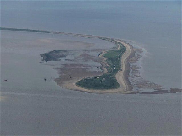
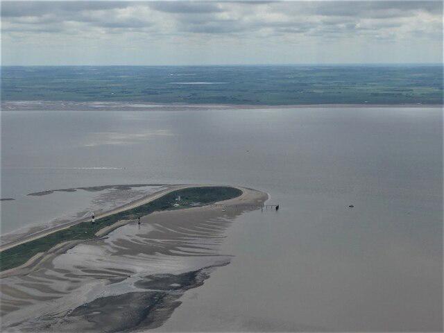
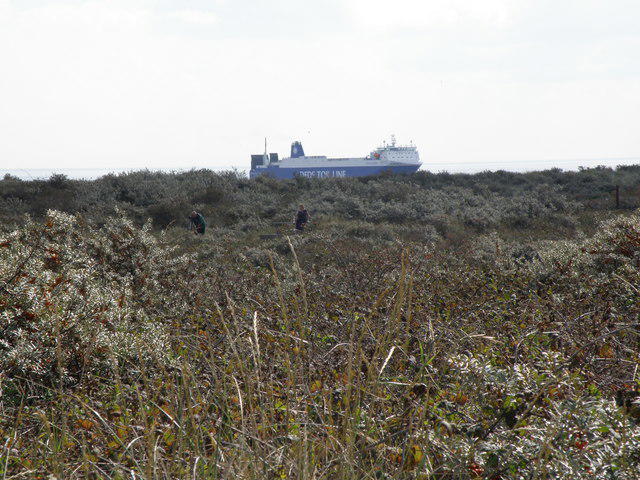
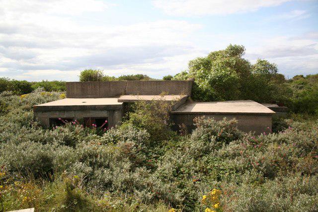
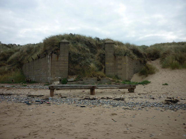
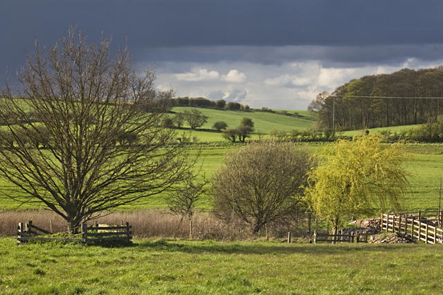
Coastal
PointToPoint
Easy
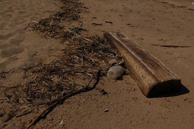
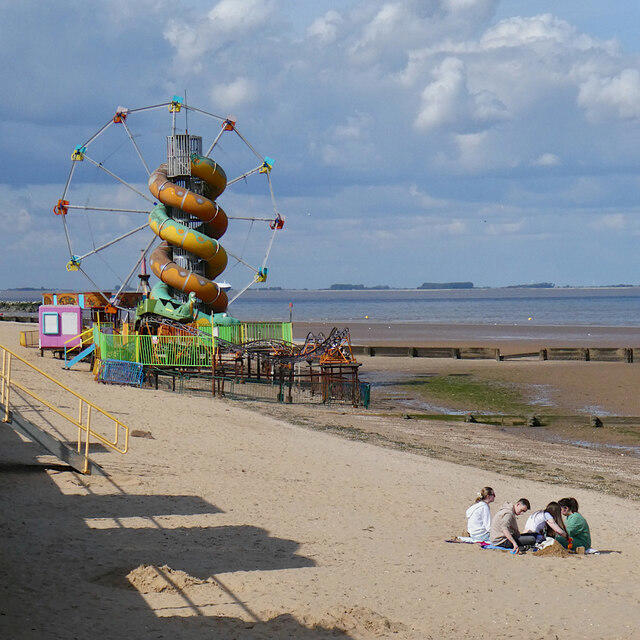
beach day’
bbeellee44
Walk organiser


No comments yet. Be the first.