
![SP0833 : Shenberrow Hill [2]](https://cdn.walkmates.com/gallery-images/11850e01efc142e1bafcac1d34628e87.jpg)
![SP0833 : On Shenberrow Hill [4]](https://cdn.walkmates.com/gallery-images/fea94c06340f494ba4bd7af710d0703e.jpg)
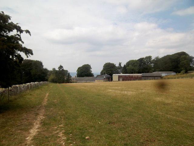
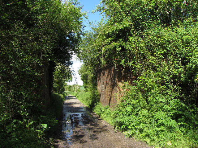
![SP0833 : Bridleway to Snowshill [1]](https://cdn.walkmates.com/gallery-images/6dfe8e79291d41e7bf911c364c80e43a.jpg)
![SP0833 : On Shenberrow Hill [3]](https://cdn.walkmates.com/gallery-images/7adda4b8ab6f474f931ed6f3ff2da52a.jpg)
Upland / Hill
Circular
Medium
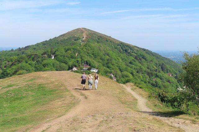
Malvern Hills Circular Walk
PaulWalkmates
Walk organiser
No comments yet. Be the first.