
Upland / Hill
Circular
Hard
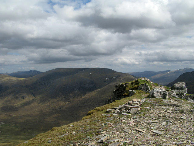
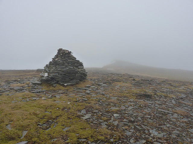
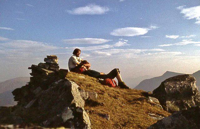
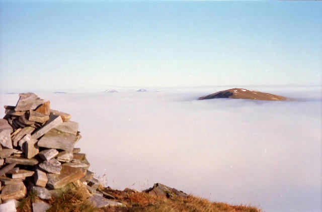
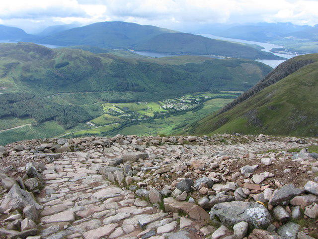
Ben Nevis via Mountain Path

PaulWalkmates
Walk organiser

No comments yet. Be the first to share your thoughts!