

Quiraing Centre Peak South
Good walks are even better shared.
NG4569 : The Table
Colin Wilson Photo source
Overview
Quiraing Centre Peak South
Overview
Nested in the breathtaking landscapes of the Isle of Skye, Quiraing Centre Peak South offers adventurers an exhilarating experience with stunning views and unique geological features.
Geology
The Quiraing was formed by a massive landslip; its volcanic rock provides a stark reminder of Skye’s geological past. One can only marvel at the powerful forces that created such dramatic landforms.
Hiking Route
The Quiraing Circular Walk is a popular route that offers an enjoyable trek around this majestic area. This moderately challenging path features a variety of terrains and views that will leave you utterly mystified and maybe just a little bit out of breath. Make sure you bring a good camera – you’ll definitely want to capture the scenery!
Distance & Time
- Distance: 6.0 km
- Time: Approx. 2.5 hours
Summit Features
Upon reaching the summit of Quiraing Centre Peak South, expect to find a rocky outcrop crowned with a humble cairn. It’s not exactly the Ritz, but it’s the perfect spot to kick back and soak in the landscape.
Terrain
Footing can be rocky, with tufts of grass underfoot. Be prepared to encounter some wet areas – it is Scotland, after all!
Views
The summit rewards your efforts with panoramic views encapsulating the Trotternish Ridge, the iconic Old Man of Storr, and beyond to the islands of Raasay and Rona. Early risers and autumn colours will revel in the sheer beauty.
Best Times for Views
- Best Seasons: Spring and Autumn are the golden times to witness nature’s artwork.
Hazards
While the Quiraing is a breathtaking location, hazards include rough terrain and sudden weather changes. And let’s not forget the midges—tiny but mighty!
Nearby Summits
Don’t just stop at Quiraing Centre Peak South; check out the nearby North Quiraing and Table Mountain for even more stunning vistas.
Access & Facilities
Parking
You’ll find a car park at the Quiraing, but it fills up faster than popular socks during a sale. Get there early!
Transportation
Public transport options are limited, so be prepared to hike or drive from Portree, the nearest major township.
Facilities
Facilities are sparse on the mountain but the charming town of Portree will provide any needs you have post-hike, including refuelling at a local cafe or searching for a clean toilet.
History
Etymology
The name 'Quiraing' is believed to come from Old Norse, meaning 'fold of land'—very fitting for this incut landscape.
Cultural Significance
Engulfed in myths and stories, the region is said to be a haven for fairies—if you see one, make sure to tell them I said hello!
Overall, Quiraing Centre Peak South offers a little slice of adventure for both history lovers and nature enthusiasts alike. So pack your hiking boots and perhaps a snack or two, and go enjoy what this magical mountain has to offer.
Last Updated
2023-10-01
Explore routes near Quiraing Centre Peak South
Walks starting near this hill. Open a route to check its map, distance and full itinerary.
Fairy Lochs Liberator Wreckage Circuit
View route
Beinn Eighe Lancaster Wreckage at Coire Mhic Fhearchair
View route
Berneray Community Hall to the beautiful beach
View route
Beautiful private beach walk Isle of Harris
View route
Route planning notes
These notes describe possible approaches. Check a route's map and access information when planning your walk.
Quiraing Circuit via Centre Peak South
This classic circular route explores the iconic Quiraing landslip, taking in dramatic rock formations, verdant landscapes, and panoramic views of the Isle of Skye. From the car park at NG440679, follow the clear path northwards, passing 'The Needle' and 'The Prison' before ascending to the Centre Peak South. Continue along the ridge before looping back to the car park.
Quiraing Ridge Out-and-Back
This straightforward out-and-back route begins at the Quiraing car park (NG440679) and ascends directly to Centre Peak South, offering incredible views along the way. It’s an ideal option for those looking for a shorter hike while still enjoying the dramatic scenery of the Quiraing.
Quiraing via Flodigarry
Starting from the Flodigarry Hostel (NG465707), this longer route climbs through the northern end of the Quiraing before reaching Centre Peak South. Along the way, you’ll encounter sweeping views of the Trotternish Ridge, rugged cliffs, and the surrounding coastline. Return via the same route or loop back along the lower path to Flodigarry.
Trotternish Ridge Traverse (Section including Centre Peak South)
This challenging trek covers a section of the Trotternish Ridge, incorporating Centre Peak South as a highlight. Starting from NG423698 near the Storr, the route follows the ridge, passing through the Quiraing and its incredible geology. This is a demanding hike for experienced walkers only, but the rewards are immense.
Quiraing and Table Walk
From the Quiraing car park (NG440679), this variation leads you past Centre Peak South and onto the 'Table,' a unique flat plateau surrounded by cliffs. Explore this unusual feature before retracing your steps or completing a small loop via the lower path.
Make a day of it, together
Find someone to share the walk with, or organise a day out along a route you like.
Photo Gallery
View all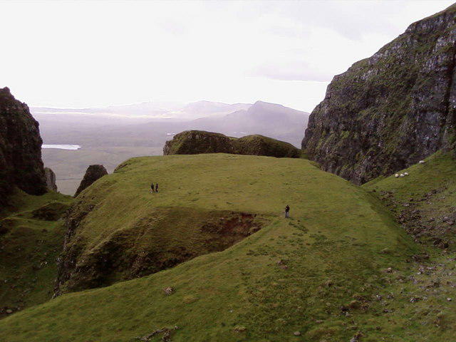 Photo could not load
NG4569 : The Table
Colin Wilson
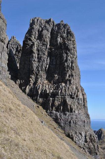 Photo could not load
NG4569 : Quiraing Outcrop
Robert Struthers
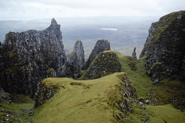 Photo could not load
NG4569 : Quiraing - view from the Table
Ian Taylor
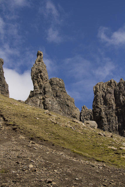 Photo could not load
NG4569 : The Needle Quiraing
Malcolm Neal
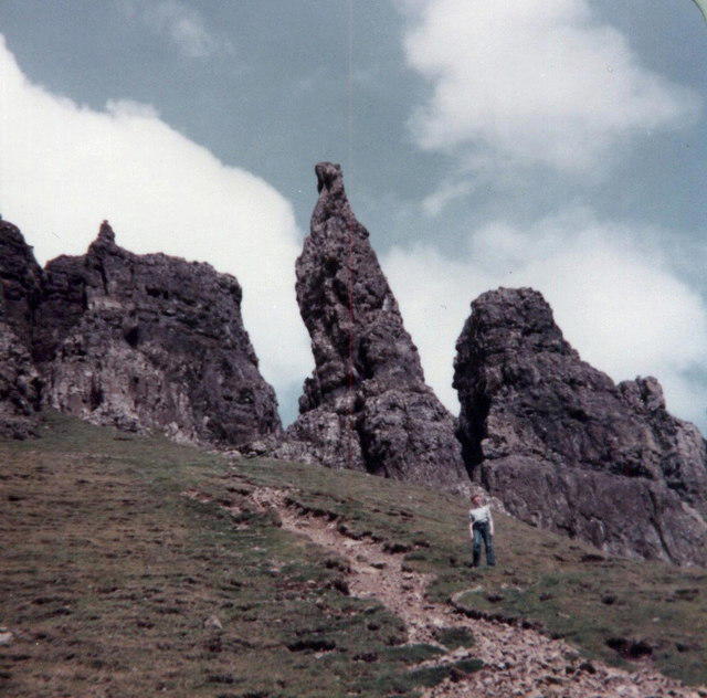 Photo could not load
NG4569 : Quiraing - The Needle
Elliott Simpson
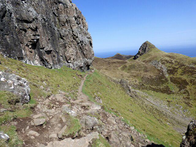 Photo could not load
NG4569 : Path at Quiraing
Sandy Gerrard
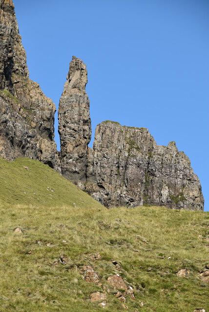 Photo could not load
NG4569 : The Needle
N Chadwick
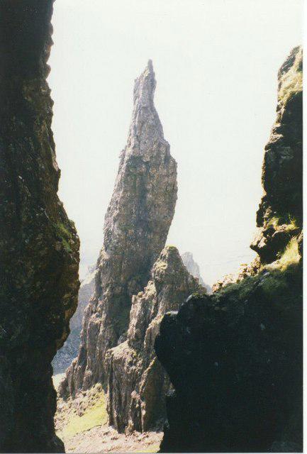 Photo could not load
NG4569 : Behind the 'Needle'
Sarah Charlesworth
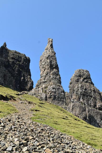 Photo could not load
NG4569 : The Needle
N Chadwick
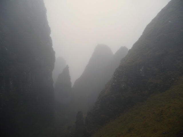
NG4569 : Inside the Quiraing
John Allan
Hill facts and local notes
Classifications
Elevation
437m
1,434 ft
Prominence
41m
Coordinates
57.6398, -6.2720
NG451691
OS Map
23
Explorer: 408
At the Summit
The summit features a rocky outcrop and a small cairn, perfect for that inevitable selfie.
Terrain & Geology
The Quiraing is renowned for its landslip geology, featuring dramatic cliff formations and a mix of volcanic and sedimentary rocks that tell the tale of the Earth’s turbulence.
Views & Scenery
From the summit, you can see the Trotternish Ridge, the Old Man of Storr, and the distant islands of Raasay and Rona.
History & Heritage
Name Origin
The term 'Quiraing' is derived from the Old Norse word 'Kvíarang', meaning 'fold of land'.
Historical Significance
The area is steeped in history, often associated with the legendary fairies said to inhabit the lands.
Getting There & Facilities
Parking
There is a parking lot at the Quiraing car park (NG 417 645), which can fill up quickly during peak seasons.
Public Transport
The nearest bus stop is at Staffin, approximately 5 miles away. Services are limited, so plan ahead.
Nearby Facilities
There are no public toilets near the peak, but Portree offers various cafes and amenities.
Safety Information
Known Hazards
- Uneven terrain and sudden weather changes. Watch out for the infamous Skye midge in summer!
General Safety Tips
- Check weather conditions before setting out
- Carry appropriate clothing and equipment
- Let someone know your planned route
- Take a map, compass, and GPS device
- Carry emergency supplies: food, water, first aid kit, torch
Hills
Some common questions about the hills answered
Are there group walks up Quiraing Centre Peak South?
Many walkers use Walkmates to join or organise walks with others. You can check for group walks around Quiraing Centre Peak South through the maps
Are there other walkers around Quiraing Centre Peak South?
Activity varies by location and time, but Walkmates lets you see whether others have shared walks or shown interest in this area. Find other people through the walking friends search walking friends for Quiraing Centre Peak South search or of course create your own walk for Quiraing Centre Peak South
Can I organise a walk to Quiraing Centre Peak South?
Yes. If there aren’t any walks listed already, you can create a walk and make it available for others to join.
If you're signed up to Walkmates, you can create a walk to Quiraing Centre Peak South.
How do I find a walk up this hill?
There are often multiple ways to walk this hill, depending on experience and route preference. Walkmates helps you explore walks and routes that others have shared.
Can I suggest a new route up Quiraing Centre Peak South?
Yes. You can suggest or create routes to share with others. Walkmates focuses on the social side of walking, so routes are used to help people organise walks and explore areas together, rather than as detailed navigation tools or route libraries.
Other uses really appreciate knowledgeable walkers sharing their routes. Share your favourite route to Quiraing Centre Peak South here
The is an error or something incorrect about this hill. How do I let you know?
We always strive to keep the information on Walkmates as accurate as possible. If you find an error, please let us know through the contact form and we'll aim to correct it as quickly as possible
Community Discussion
Comments
Location
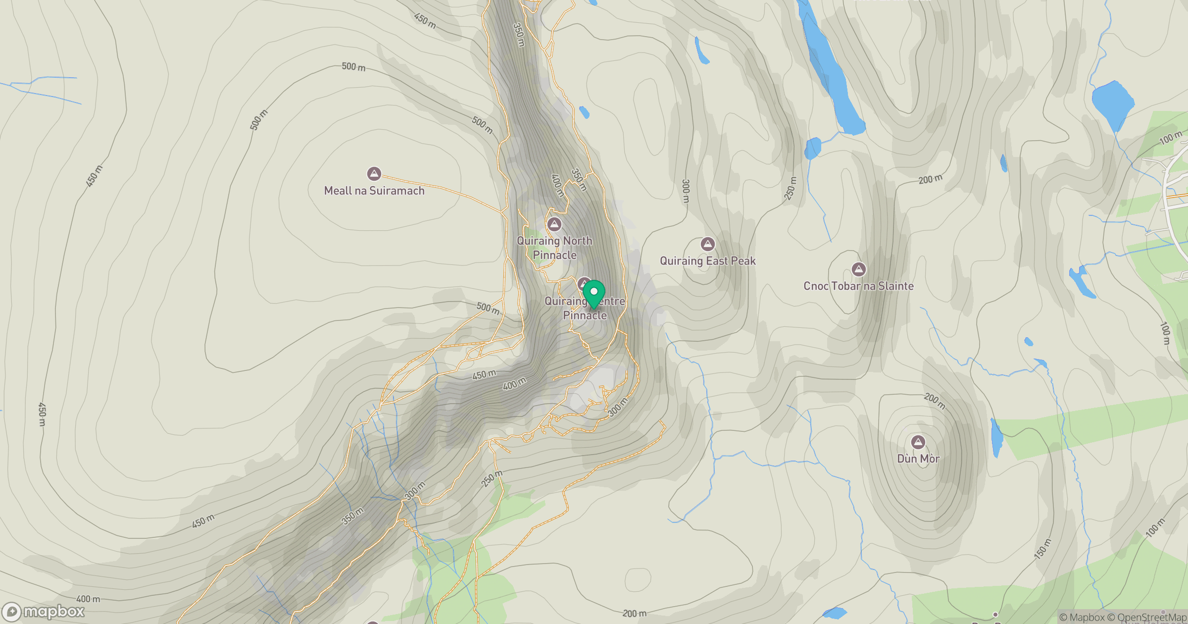
Grid reference: NG451691
View on OpenStreetMapOpens a map in a new tab, centred on the hill.
No comments yet. Be the first.