

Killhope Law
Good walks are even better shared.
NY8144 : Pole, trig point and currick on Killhope Law
Mike Quinn Photo source
Overview
Killhope Law
Overview
Situated in the North Pennines, Killhope Law stands proud at 602 meters. Often overshadowed by its higher neighbours, it is a Marilyn in its own right, offering some of the most rewarding vistas in the area. This mountain invites adventurers to uncover its tales of geology and history.
Geology
Killhope Law's geological character is predominantly sandstone, layered intricately to reveal a magical history. Explorers should keep an eye out for interesting rock formations that speak volumes of the area's ancient past.
Routes
There are a couple of popular routes to the summit of Killhope Law. The Killhope Lead Mining Museum Route is the gentler of the two, starting at the museum itself and weaving through the remnants of mining history before advancing upwards. For those seeking a bit more adventure, the Nenthead Circular Route offers a challenging circuit connecting multiple summits, providing a more extensive experience of the area's stunning landscape.
Terrain
Hikers will encounter a mixture of grassy slopes and occasional rocky paths. Be prepared for a few muddy patches—the kind that tries to suck your boots off!
Views
Once you make it to the summit, the 360-degree views are a sight for sore eyes! Not only do you get to enjoy the rolling hills of the North Pennines, but on truly clear days, the iconic shapes of the Lake District fells can be spotted in the distance. If you time your hike for late spring or early autumn, you'll be rewarded with a vibrant panorama.
Hazards
While the walk is generally safe, sudden shifts in weather can occur in the Pennines, so it’s wise to check forecasts and prepare accordingly. Keep an eye on the ground too—those sneaky bogs like to trick the unwary!
Access
The Killhope Lead Mining Museum car park is the most convenient, providing free parking close to the starting point of your hike. For those relying on public transport, services from Alston will do the trick, though a taxi or bike ride may be needed for the final stretch.
Facilities
If hunger strikes or nature calls, the Killhope Lead Mining Museum not only offers educational insights into the area's past but also a café and clean toilet facilities for weary hikers.
History
The mountain's name, which hints at its historic significance, translates roughly to 'hill of the cemetery' or 'hill where the dead are' in Old Norse. During the Victorian era, Killhope was pivotal in the mining world, reminding all of its abundant natural resources and its vibrant industrial past.
Head out for a leisurely wander or a hearty hike — whatever your aims, Killhope Law won’t disappoint!
Remember to carry your sense of adventure along with enough snacks to fuel the journey. Bon voyage!
Explore routes near Killhope Law
Walks starting near this hill. Open a route to check its map, distance and full itinerary.
Blanchland Geotrail
View route
Stanhope, the River Wear and the Fossil Tree
View route
Allen Banks and Morralee Tarn
View route
Haydon Bridge John Martin Northern Trail
View route
Route planning notes
These notes describe possible approaches. Check a route's map and access information when planning your walk.
Killhope Lead Mining Museum Route
A gentle ascent starting from the museum, offering insights into the area’s mining history while hiking up to the summit.
Nenthead Circular Route
A more challenging round route that connects several local summits, providing a comprehensive outdoor experience.
Make a day of it, together
Find someone to share the walk with, or organise a day out along a route you like.
Photo Gallery
View all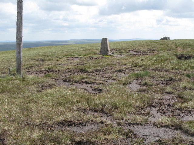 Photo could not load
NY8144 : Pole, trig point and currick on Killhope Law
Mike Quinn
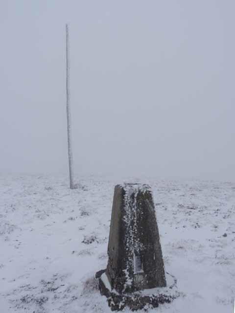 Photo could not load
NY8144 : Trig pillar and mast on Killhope Law
Oliver Dixon
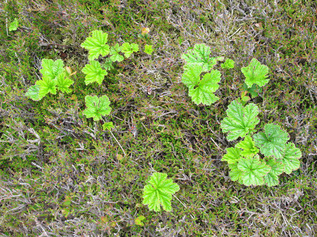 Photo could not load
NY8144 : Cloudberry plants growing through the heather on the summit of Killhope Law
Mike Quinn
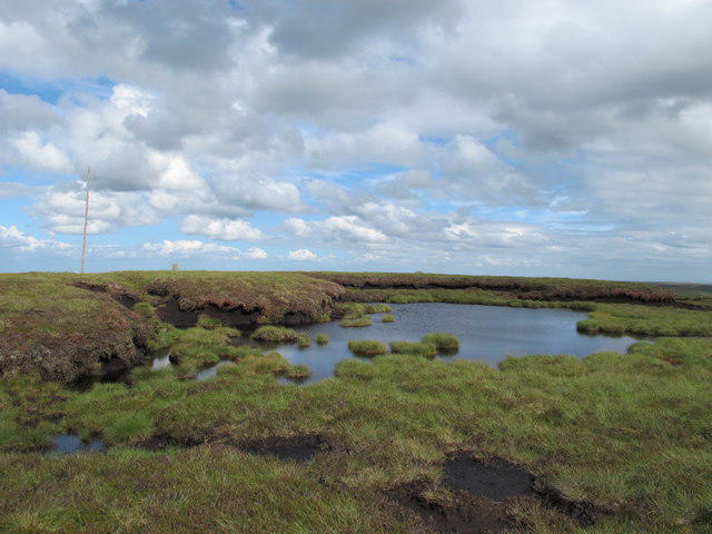 Photo could not load
NY8144 : Small lough on the summit of Killhope Law (3)
Mike Quinn
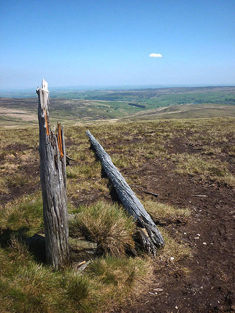 Photo could not load
NY8144 : Toppled 'mast', Killhope Law
Karl and Ali
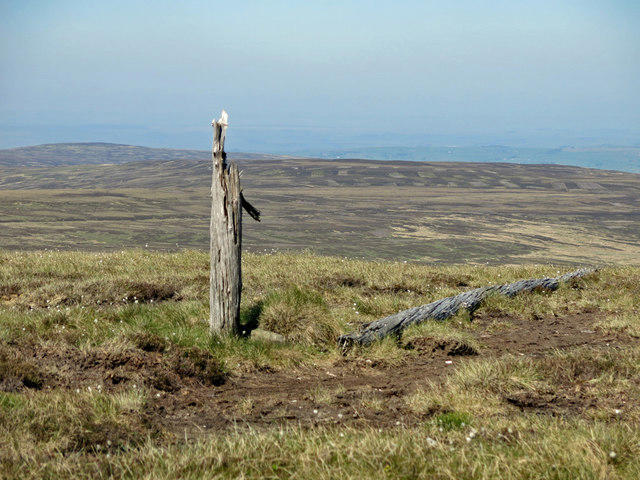 Photo could not load
NY8144 : Broken pole on the summit of Killhope Law
Mike Quinn
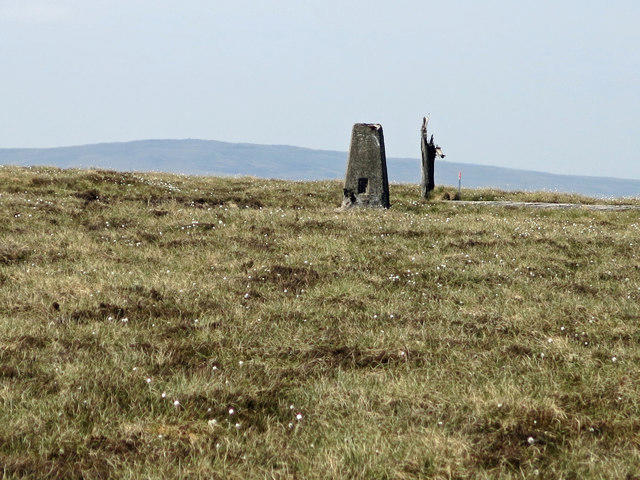 Photo could not load
NY8144 : The trig point and (the remains of the) pole on Killhope Law
Mike Quinn
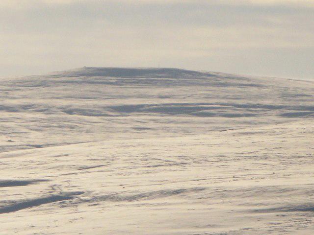 Photo could not load
NY8144 : Killhope Law
Mike Quinn
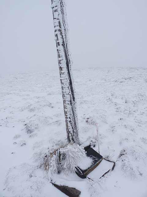 Photo could not load
NY8144 : Mast on Killhope Law (detail)
Oliver Dixon
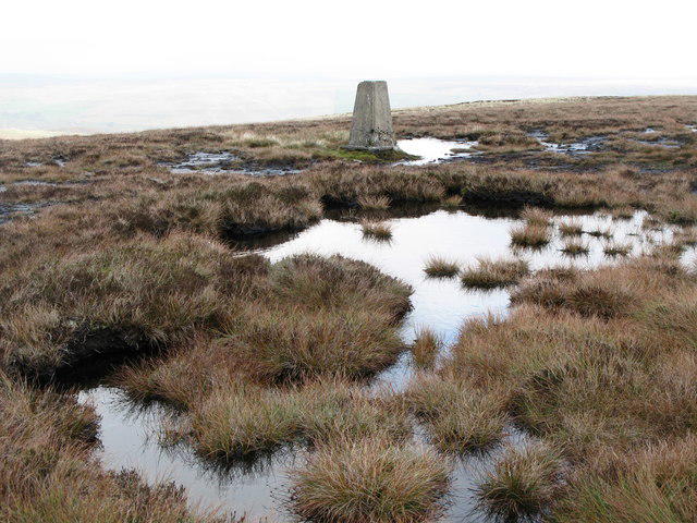
NY8144 : The trig point on Killhope Law
Mike Quinn
Hill facts and local notes
Classifications
Elevation
673m
2,208 ft
Prominence
47m
Coordinates
54.7982, -2.2828
NY819448
OS Map
86 87
Explorer: OL31W
At the Summit
The summit is marked by a distinctive stone cairn and offers a trig point, perfect for those proud summit selfies.
Terrain & Geology
The mountain is primarily composed of sandstone, which can exhibit fascinating geological features such as striations and layering. The surrounding area is rich in mineral deposits, historically attracting mining activity.
Views & Scenery
From the summit, one can see the rolling hills of the North Pennines, the tranquil waters of the nearby reservoirs, and on clear days, the distinct shapes of the Lake District fells in the south.
History & Heritage
Name Origin
The name 'Killhope' likely derives from the Old Norse, meaning 'hill of the cemetery' or 'hill where the dead are,' while 'Law' refers to a hill or upland area in the dialect.
Historical Significance
Historically, Killhope was an important site during the Victorian mining boom, and now serves as a reminder of the region's rich industrial heritage.
Getting There & Facilities
Parking
Killhope Lead Mining Museum car park, which offers ample space and is free of charge for visitors.
Public Transport
Regular bus services connect to nearby towns like Alston, from where you can taxi or cycle to the museum.
Nearby Facilities
The Killhope Lead Mining Museum provides a café with refreshments and toilet facilities for hikers.
Safety Information
Known Hazards
- Be wary of sudden weather changes, and take care on boggy areas which can be deceptively slippery.
General Safety Tips
- Check weather conditions before setting out
- Carry appropriate clothing and equipment
- Let someone know your planned route
- Take a map, compass, and GPS device
- Carry emergency supplies: food, water, first aid kit, torch
Hills
Some common questions about the hills answered
Are there group walks up Killhope Law?
Many walkers use Walkmates to join or organise walks with others. You can check for group walks around Killhope Law through the maps
Are there other walkers around Killhope Law?
Activity varies by location and time, but Walkmates lets you see whether others have shared walks or shown interest in this area. Find other people through the walking friends search walking friends for Killhope Law search or of course create your own walk for Killhope Law
Can I organise a walk to Killhope Law?
Yes. If there aren’t any walks listed already, you can create a walk and make it available for others to join.
If you're signed up to Walkmates, you can create a walk to Killhope Law.
How do I find a walk up this hill?
There are often multiple ways to walk this hill, depending on experience and route preference. Walkmates helps you explore walks and routes that others have shared.
Can I suggest a new route up Killhope Law?
Yes. You can suggest or create routes to share with others. Walkmates focuses on the social side of walking, so routes are used to help people organise walks and explore areas together, rather than as detailed navigation tools or route libraries.
Other uses really appreciate knowledgeable walkers sharing their routes. Share your favourite route to Killhope Law here
The is an error or something incorrect about this hill. How do I let you know?
We always strive to keep the information on Walkmates as accurate as possible. If you find an error, please let us know through the contact form and we'll aim to correct it as quickly as possible
Community Discussion
Comments
Location
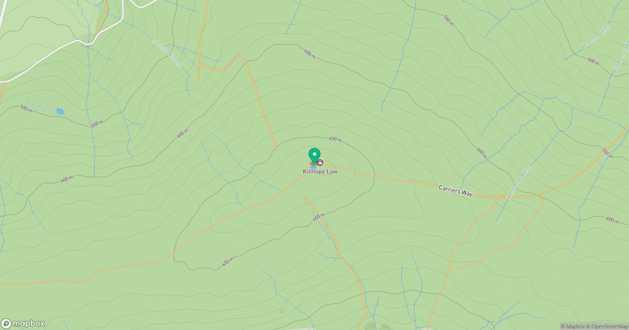
Grid reference: NY819448
View on OpenStreetMapOpens a map in a new tab, centred on the hill.


No comments yet. Be the first.